© WEGES OG

© WEGES OG

© WEGES OG

© WEGES OG

© WEGES OG

© WEGES OG

© WEGES OG

© WEGES OG

© WEGES OG

© WEGES OG

- Krótki opis
-
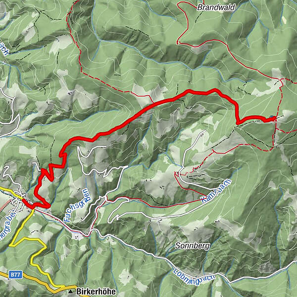
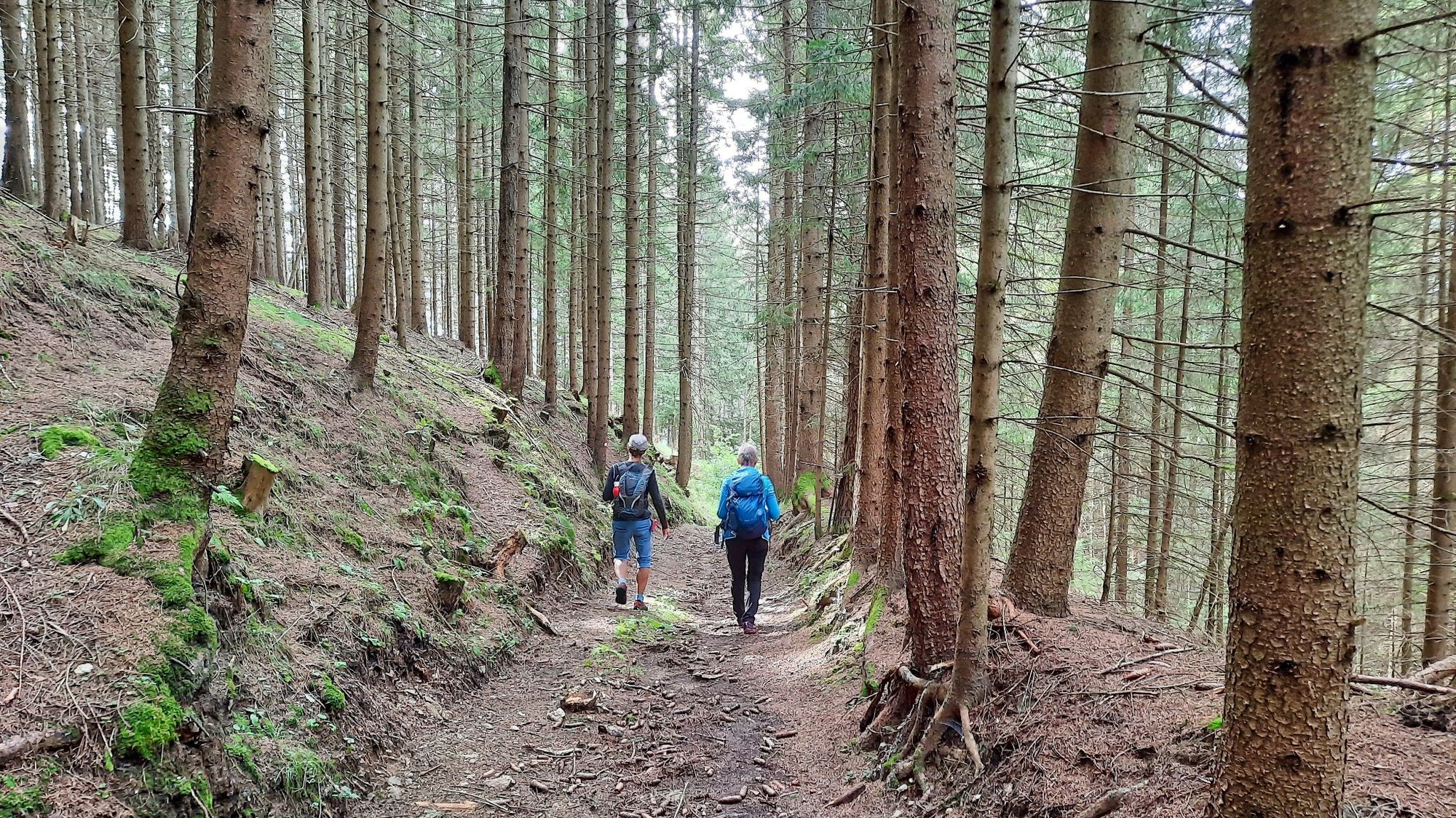
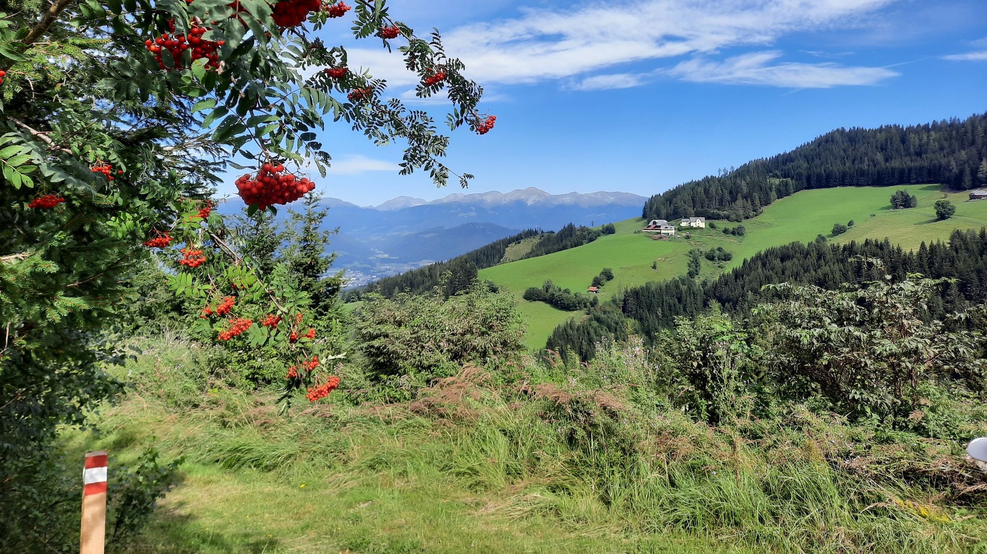
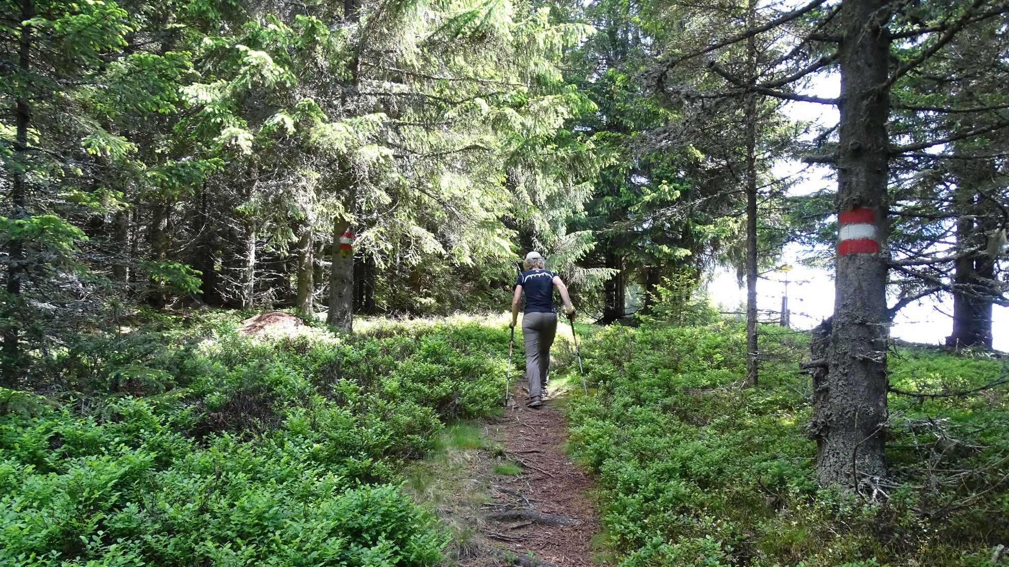
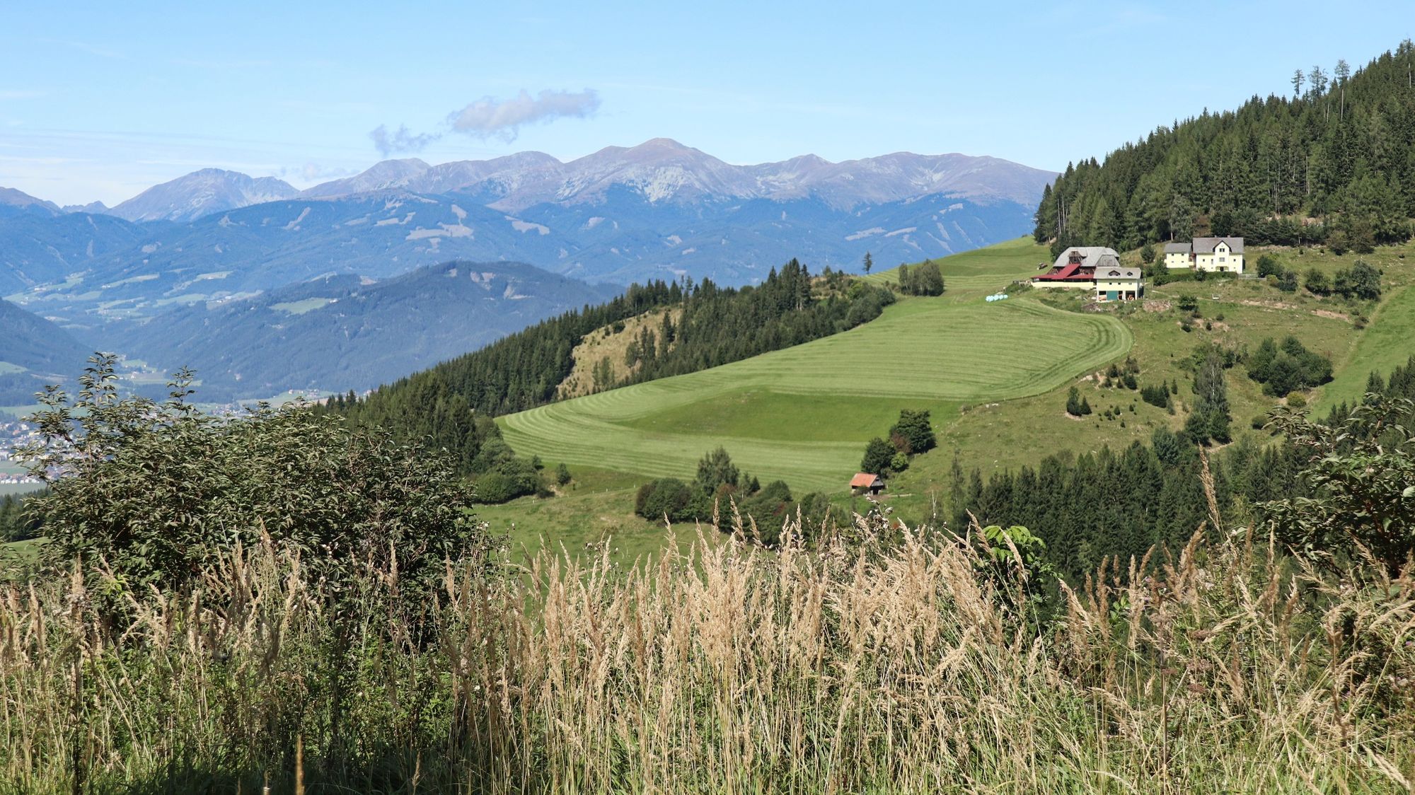
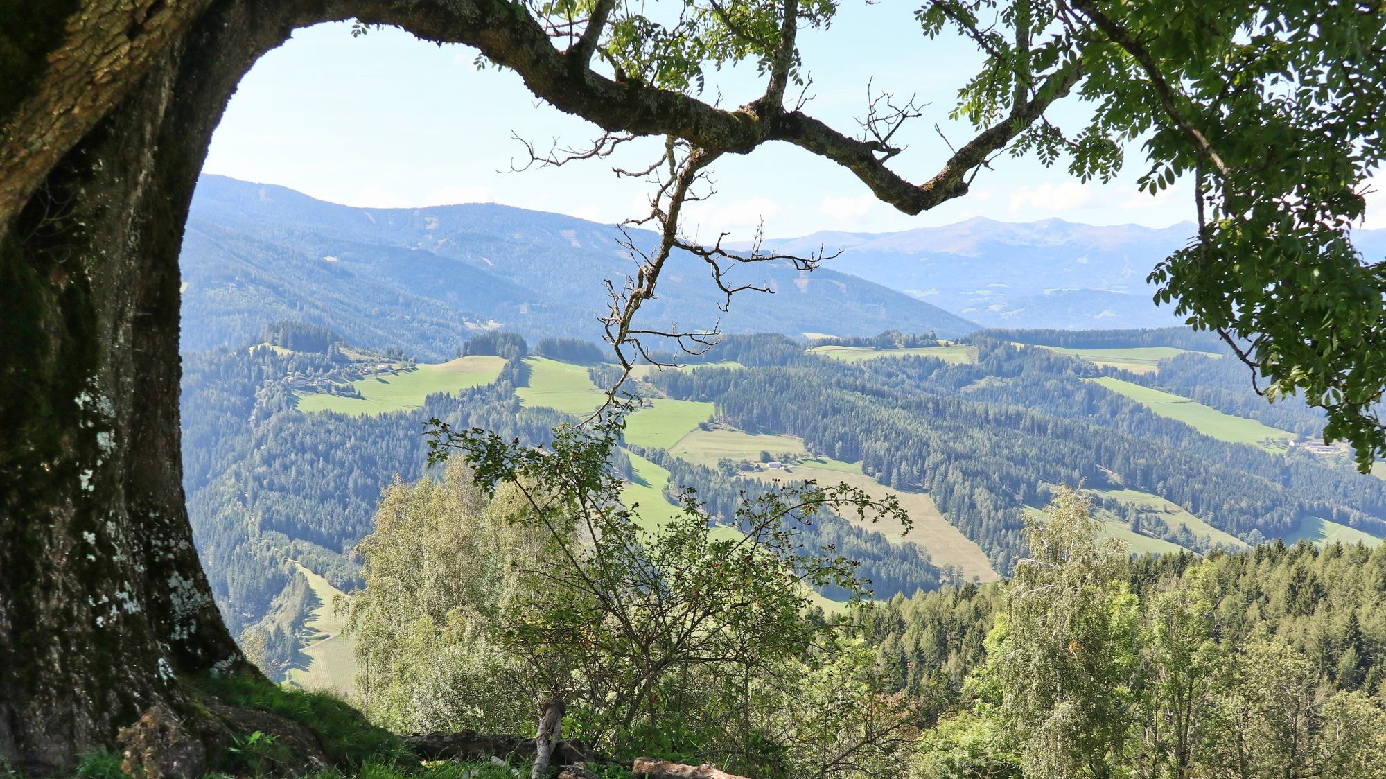
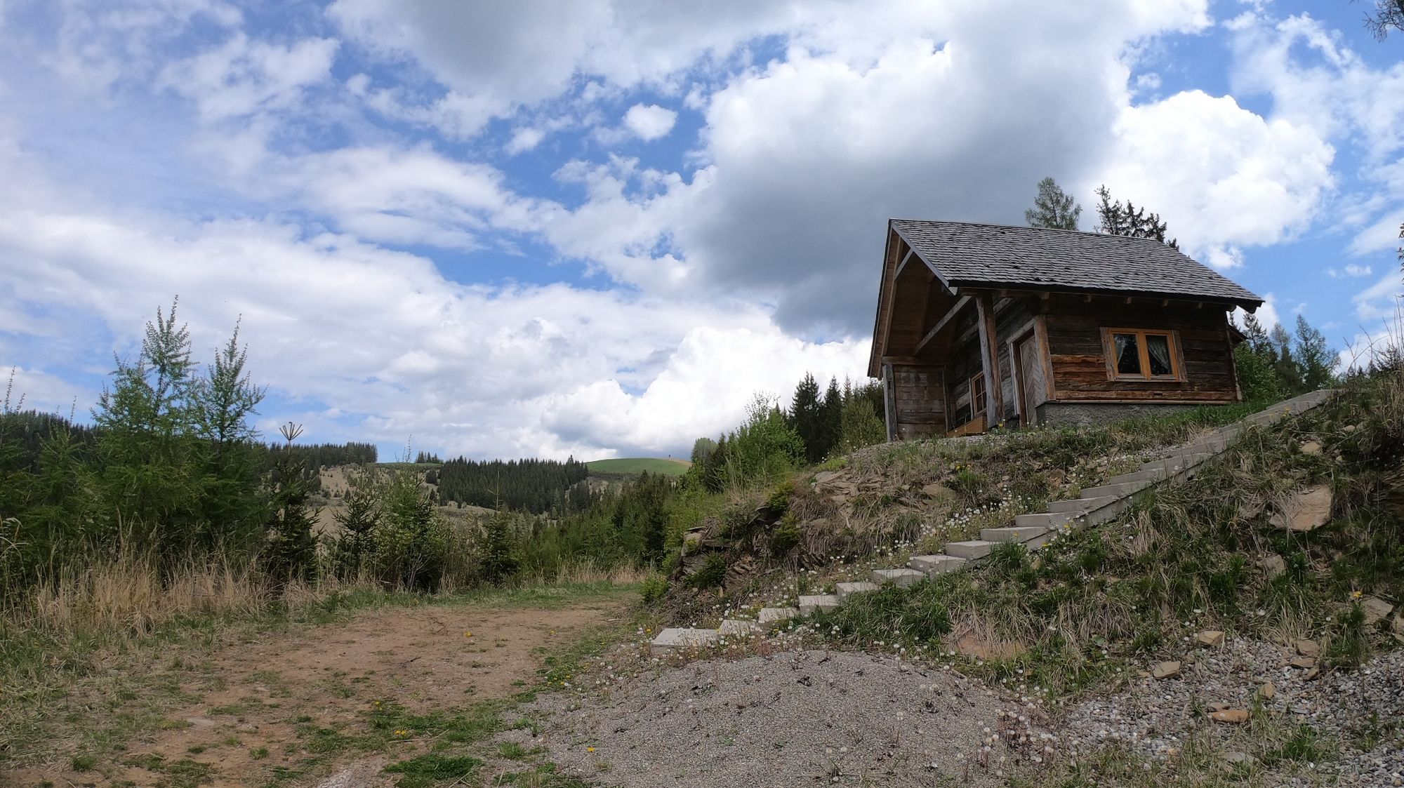
A wonderful summit hike to "the" local mountain of the region, the Steinplan at 1670 m above sea level. A tour for ambitious hikers!
- Stopień trudności
-
średni
- Ocena
-
- Trasa
-
KleinlobmingSteinplan Schutzhaus7,1 kmSteinplan (1.670 m)7,2 kmKleinlobming14,3 km
- Najlepszy sezon
-
stylutmarkwimajczelipsiewrzpaźlisgru
- Najwyższy punkt
- 1.660 m
- Miejsce docelowe
-
Kleinlobming
- Profil wysokości
-


- Autor
-
Wycieczka Steinplan via sunny side jest używany przez outdooractive.com pod warunkiem.
GPS Downloads


Informacje ogólne
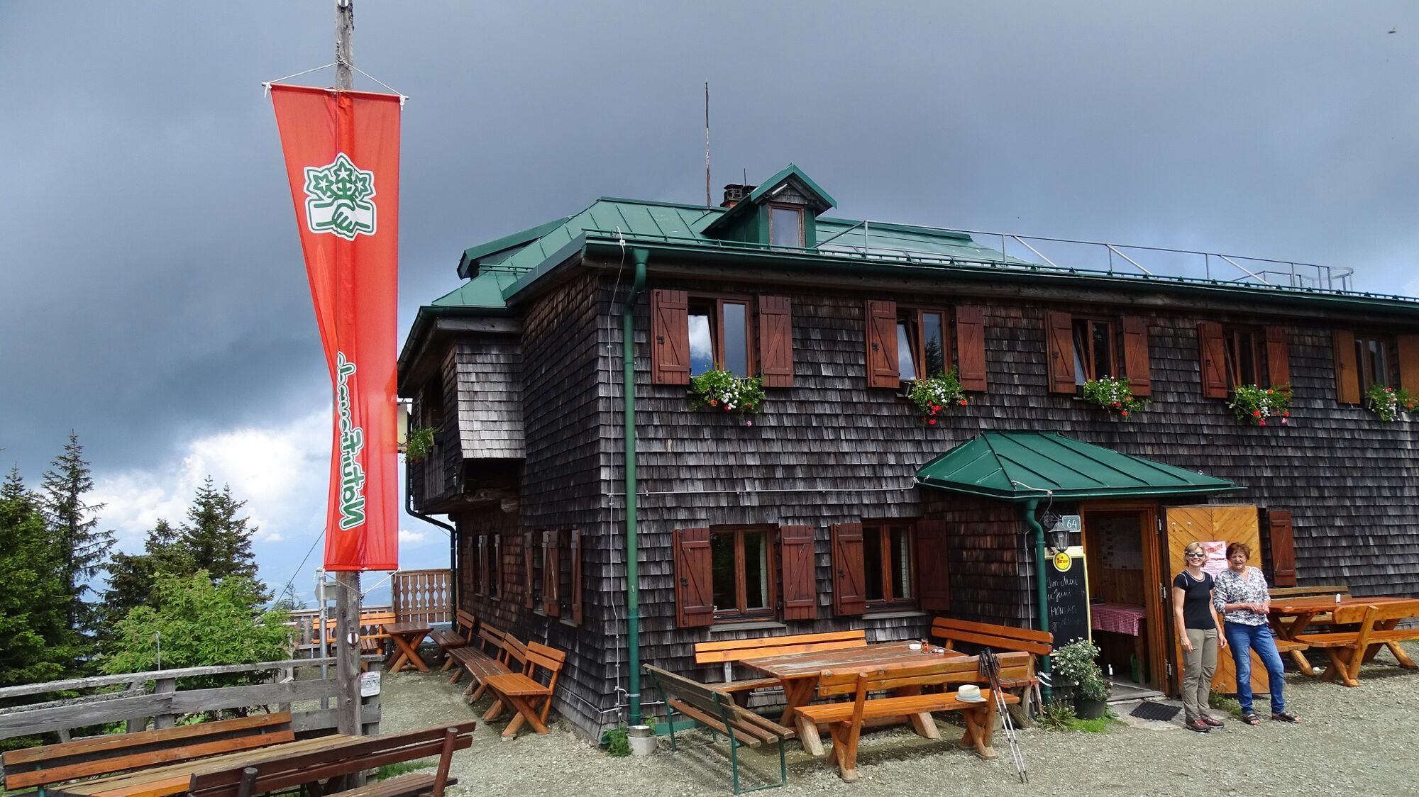
Przystanek odświeżania
Obiecujący
Więcej wycieczek w regionach
-
Erlebnisregion Murtal
1782
-
Steirisches Zirbenland
711
-
Lobmingtal
169