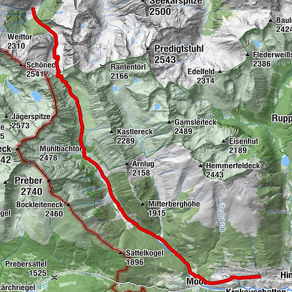
Stage 08 From Glacier to Wine South Route Putzentalalm - Krakau

Wędrówka

© Steiermark Tourismus/Podpera - podpera

© Steiermark - Das Grüne Herz

© Steiermark Tourismus/photo-austria.at - photo-austria.at

© Fa. Lowa/Herbert Raffalt

© Holzwelt Murau / Tom Lamm - Holzwelt Murau

- Krótki opis
-
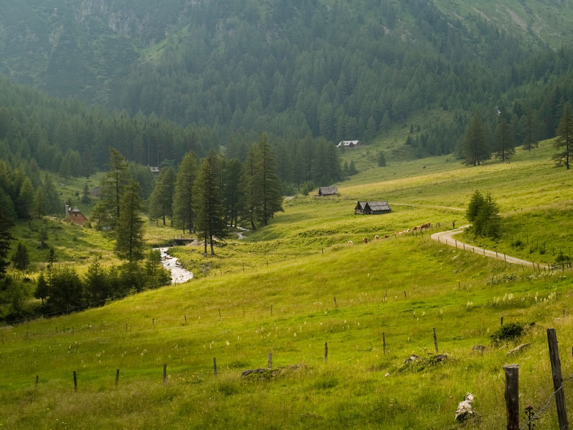
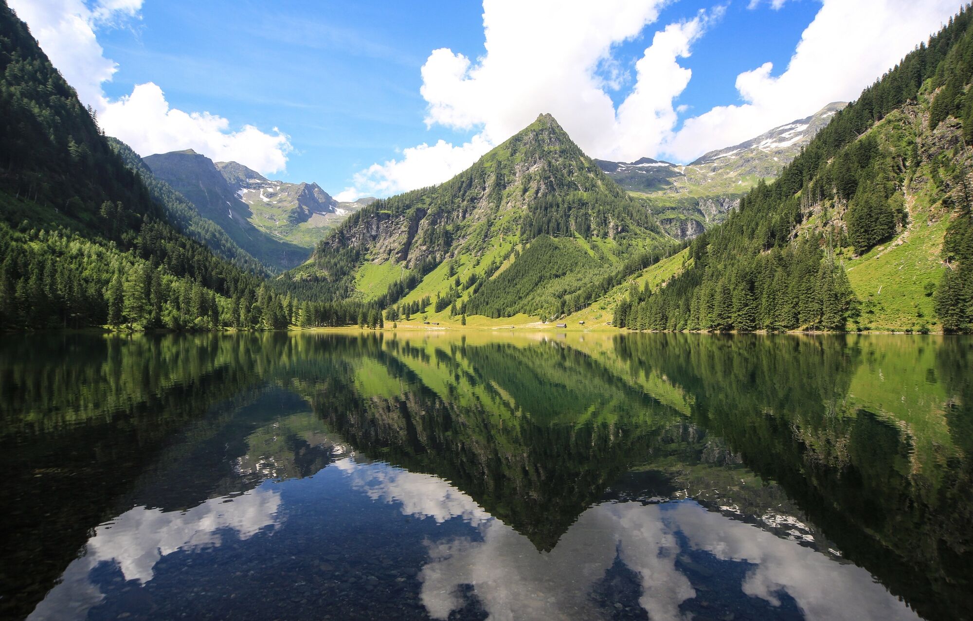
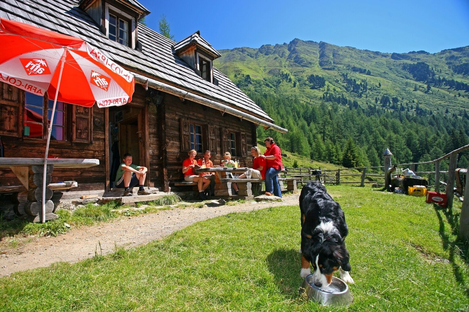
This stage of the hiking route "From Glacier to Wine" takes us from the Sölktäler Nature Park on the north side of the Schladminger Tauern over the Prebertörl to the mountaineering village of Krakau on the south side of the Schladminger Tauern. Thus, on this beautiful, often lonely mountain tour, which also requires surefootedness, we switch from the Ennstal to the Murtal side of the Niedere Tauern. By the way, the Krakau has a favorable climate: the high valley, which runs almost parallel to the Murtal, is considered to be particularly low in precipitation and at the same time sunny, the latter especially in winter. The reason is the lack of fog due to the well-ventilated east-west orientation of the valley.
- Stopień trudności
-
średni
- Ocena
-
- Trasa
-
PutzentalalmPrebertörl (2.194 m)3,4 kmMöslhütte6,5 kmMoarhütte6,8 kmBahnhof10,8 kmMoos13,1 kmKlausen14,0 km
- Najlepszy sezon
-
stylutmarkwimajczelipsiewrzpaźlisgru
- Najwyższy punkt
- 2.201 m
- Miejsce docelowe
-
Krakau
- Profil wysokości
-

-

-
AutorWycieczka Stage 08 From Glacier to Wine South Route Putzentalalm - Krakau jest używany przez outdooractive.com pod warunkiem.
GPS Downloads


Informacje ogólne
Flora
Fauna
Obiecujący
Więcej wycieczek w regionach


