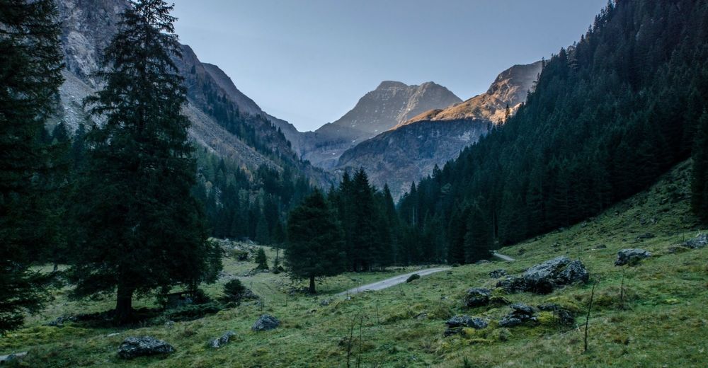
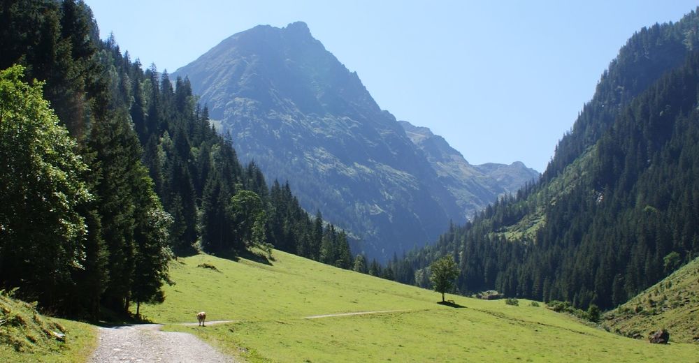
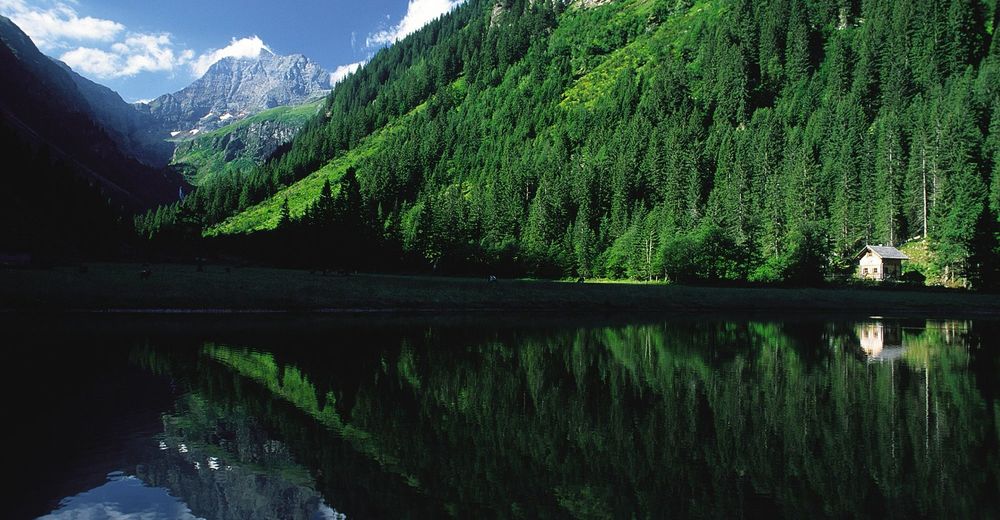
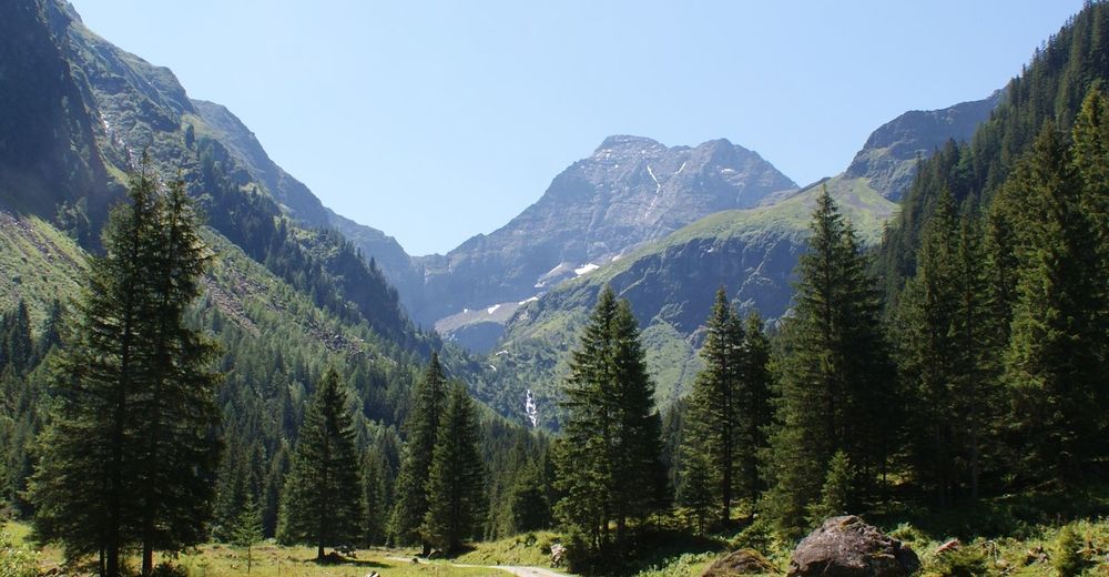
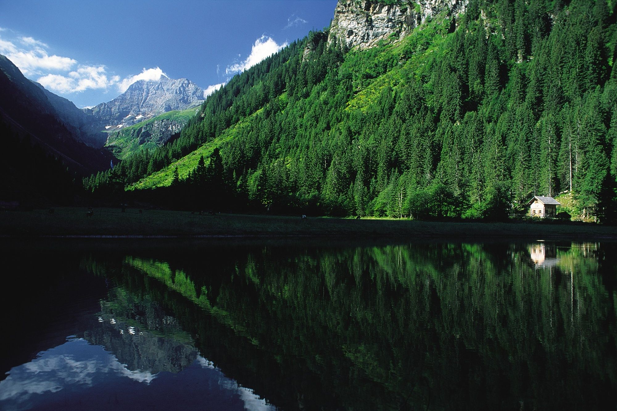
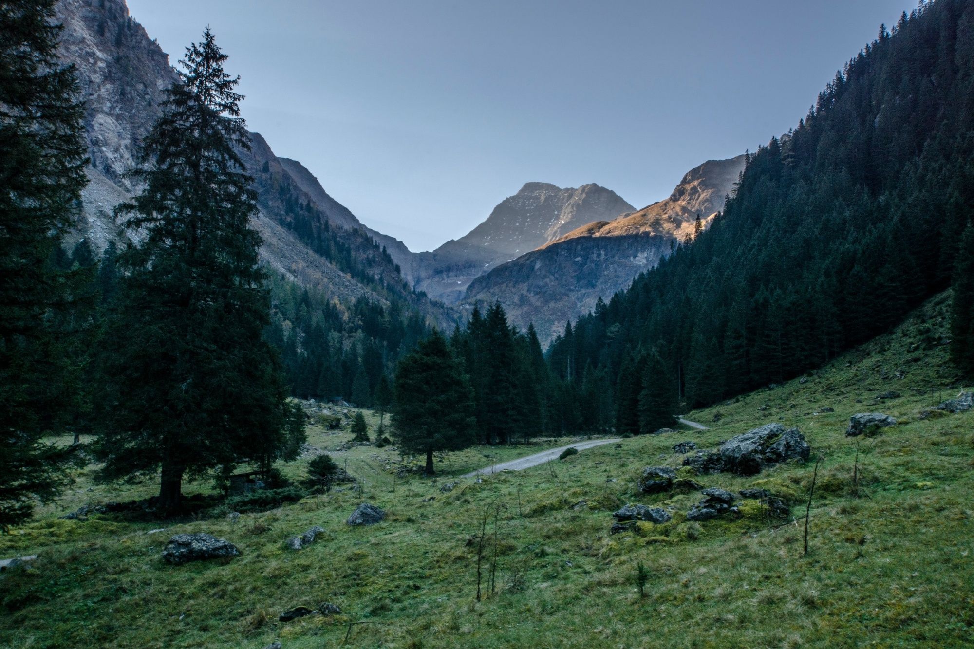
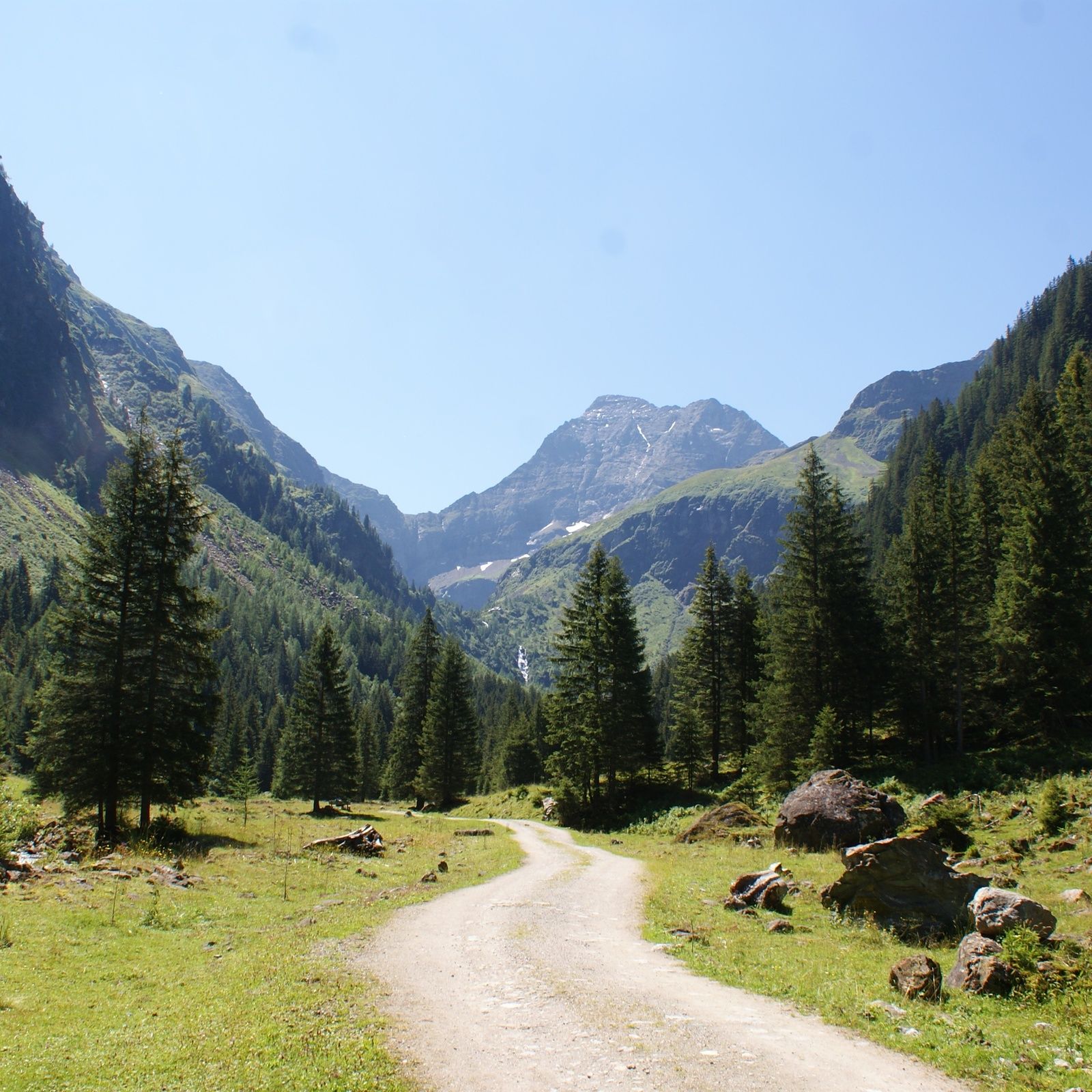
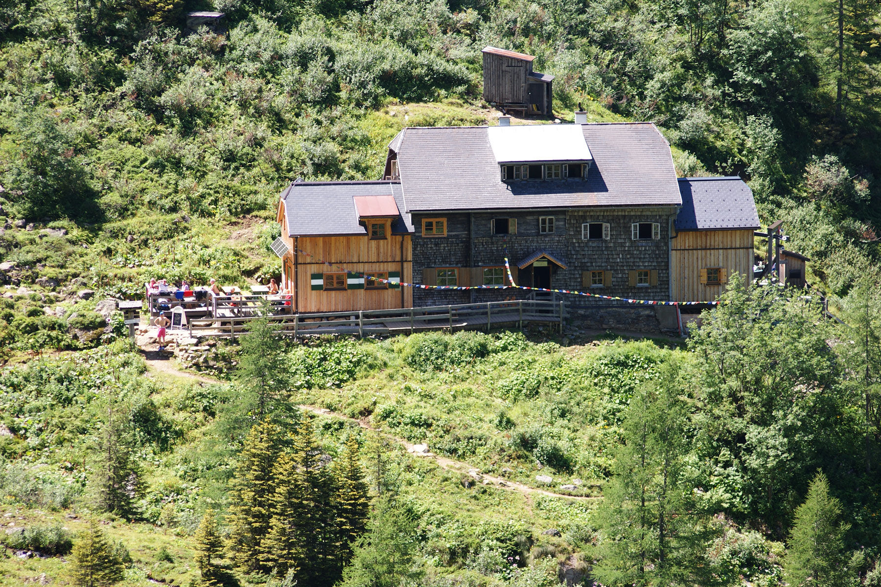
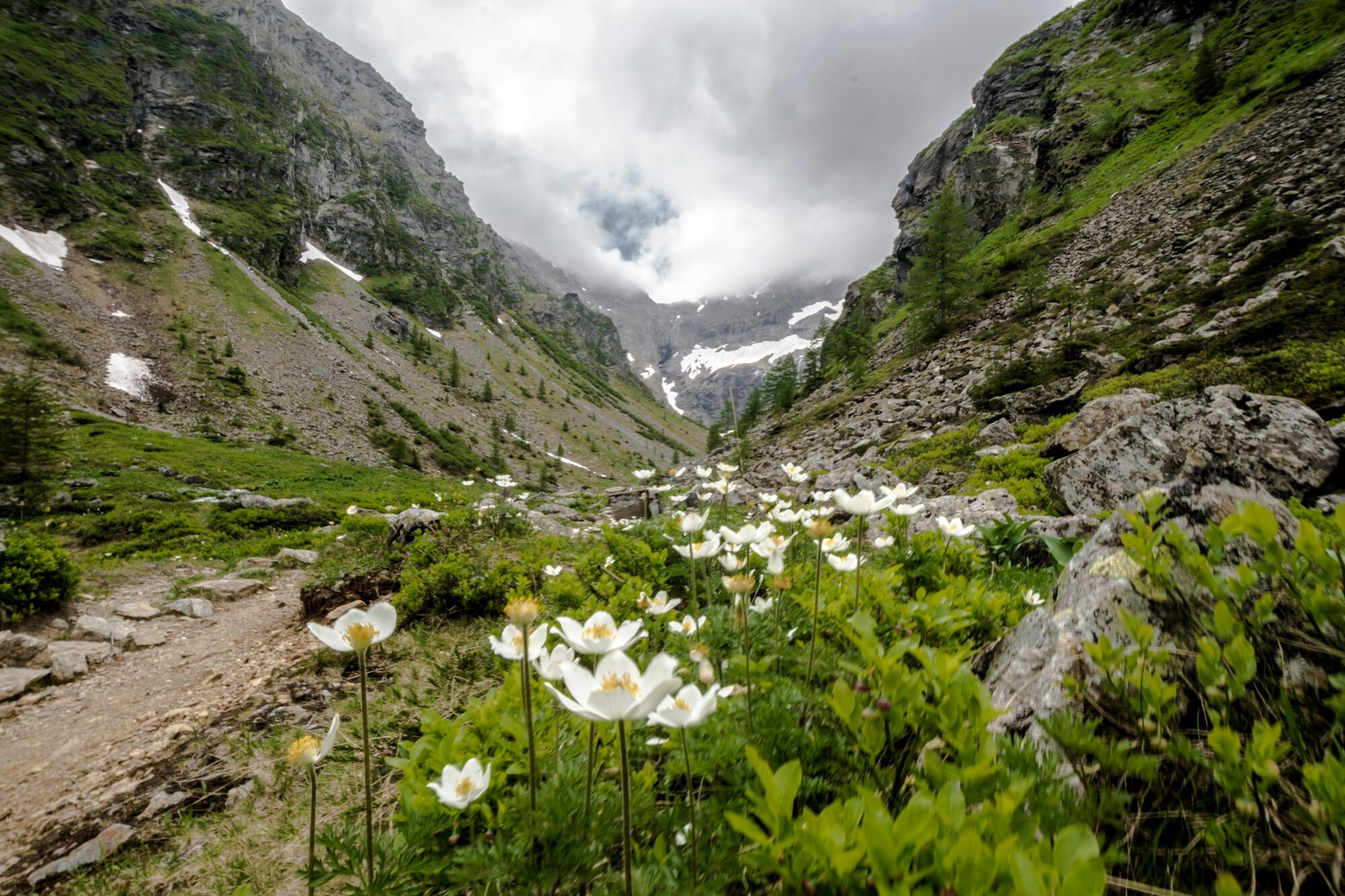
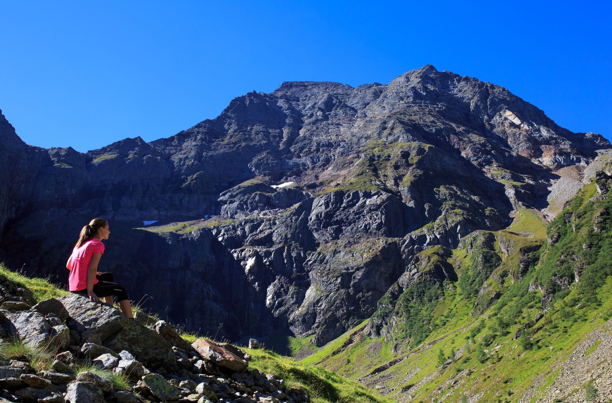
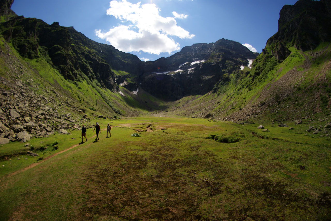
Gollinghütte chalet and Gollingwinkel in Steinriesental valley

Wędrówka
© Gerhard Pilz
© Gerhard Pilz
© Herbert Raffalt - Gerhard Pilz
© Gerhard Pilz

© Gerhard Pilz - www.gpic.at - Gerhard Pilz

© Tourismusverband Schladming - Gerhard Pilz - Gerhard Pilz

© Gerhard Pilz - www.gpic.at - Gerhard Pilz

© Gerhard Pilz - www.gpic.at - Gerhard Pilz

© Gerhard Pilz - www.gpic.at - Gerhard Pilz

© Gerhard Pilz - www.gpic.at - Gerhard Pilz

- Krótki opis
-
This family-friendly hike takes you through the Steinriesental valley to Gollinghütte chalet and the "place of the gods" - Gollingwinkel.
- Stopień trudności
-
średni
- Ocena
-
- Trasa
-
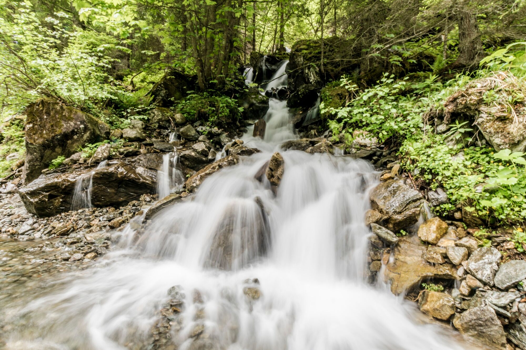
Gasthof Zum Riesachfall0,1 kmKleiner Riesachfall0,2 kmehem. Untere Stegeralm4,5 kmGollinghütte (1.642 m)5,4 kmGollingwinkel6,6 kmObere Steinwenderalm6,6 kmehem. Untere Stegeralm8,4 kmUntere Steinwenderalm (1.218 m)10,8 kmGroßer Riesachfall12,7 kmKleiner Riesachfall12,9 kmGasthof Zum Riesachfall13,2 km
- Najlepszy sezon
-
stylutmarkwimajczelipsiewrzpaźlisgru
- Najwyższy punkt
- 1.716 m
- Miejsce docelowe
-
Gollingwinkel
- Profil wysokości
-


-

-
AutorWycieczka Gollinghütte chalet and Gollingwinkel in Steinriesental valley jest używany przez outdooractive.com pod warunkiem.
GPS Downloads


Informacje ogólne
Przystanek odświeżania
Obiecujący
Więcej wycieczek w regionach
-
Schladming - Dachstein
3001
-
Schladming - Rohrmoos
1478
-
Haus im Ennstal
366


