

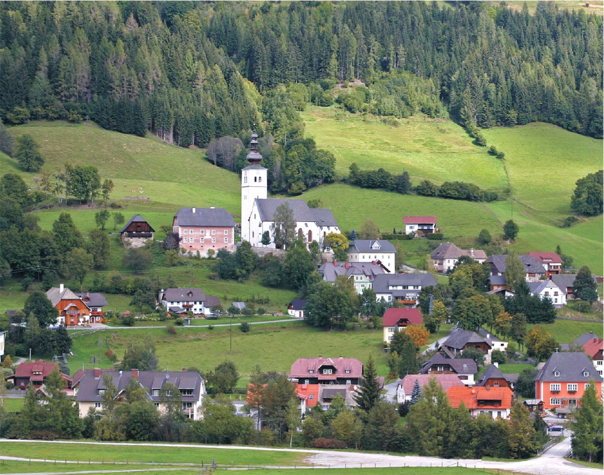
© Tourismusverband Region Murau - Tom Lamm

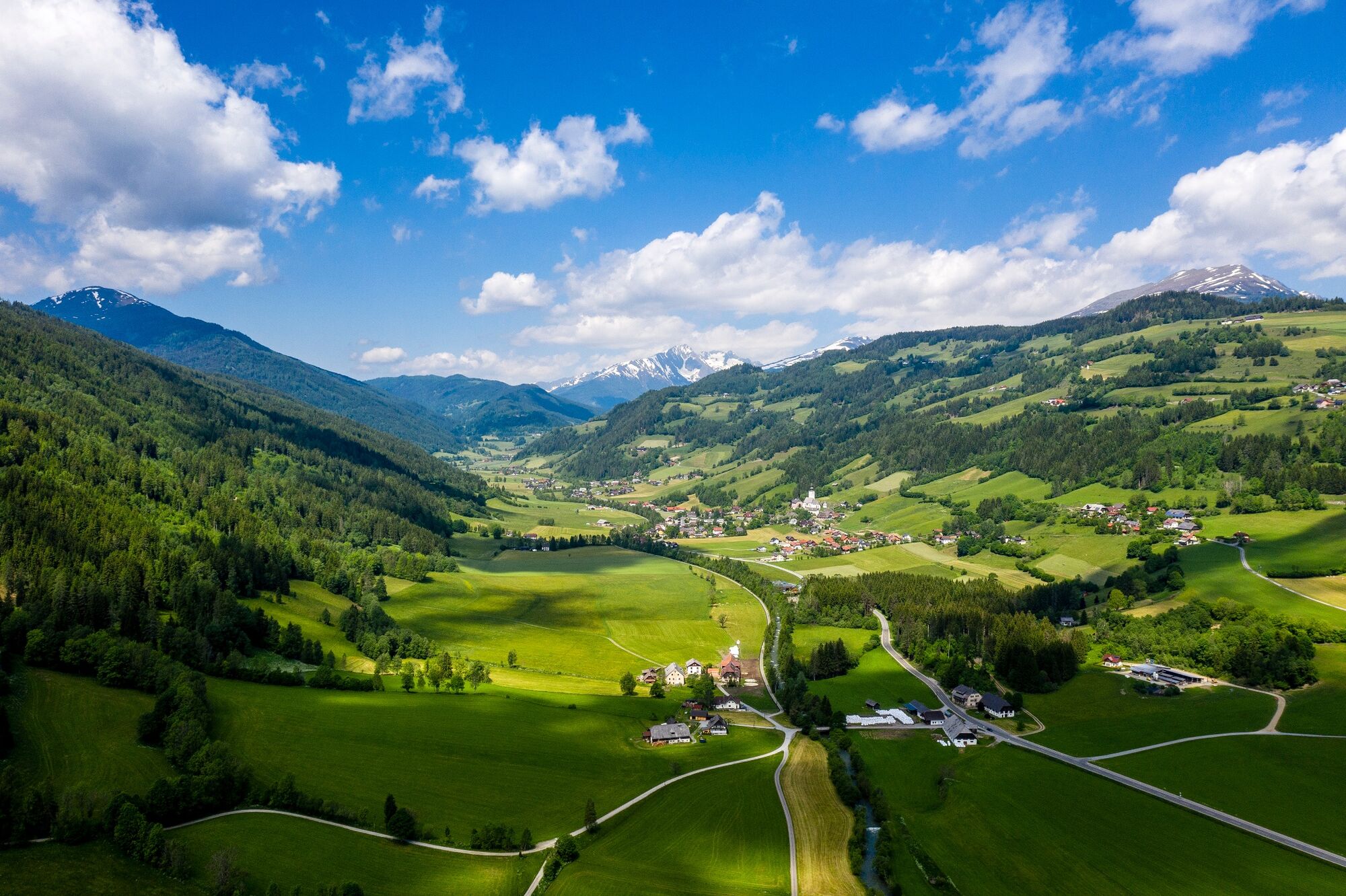
© Tourismusverband Region Murau - Wilfried Kaufmann

- Krótki opis
-
An intermediate level hike on the forest path with gentle ascents and a beautiful view of the Rantental, the Freiberg and the Krakautal featuring the Preber mountain.
- Stopień trudności
-
średni
- Ocena
-
- Trasa
-
Ranten0,1 kmAllgaueck-Kreuz5,4 kmAllgaueck (1.295 m)5,4 kmRanten10,8 km
- Najlepszy sezon
-
stylutmarkwimajczelipsiewrzpaźlisgru
- Najwyższy punkt
- 1.308 m
- Miejsce docelowe
-
Gasthof Hammerschmied, Ranten
- Profil wysokości
-

- Autor
-
Wycieczka From Ranten to the Allgaueck jest używany przez outdooractive.com pod warunkiem.
GPS Downloads


Informacje ogólne
Kulturalny/Historyczny
Wskazówka dla osób mających dostęp do poufnych informacji
Obiecujący
Więcej wycieczek w regionach
-
TourismusRegion Murau
1746
-
Naturpark Sölktäler
931
-
Ranten
156


