© Oststeiermark Tourismus - Gerhard Steinwenger


© (c) Günther Steininger

© Oststeiermark Tourismus - Nina Ressel

© (c) Günther Steininger

© (c) Günther Steininger - Günther Steininger

© (c) Günther Steininger - Günther Steininger
- Krótki opis
-
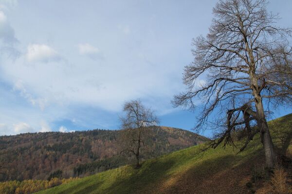
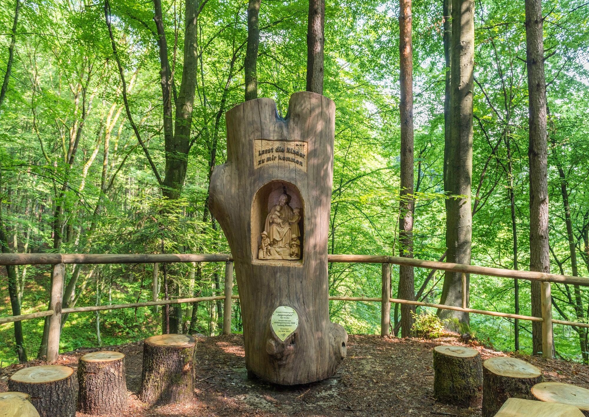
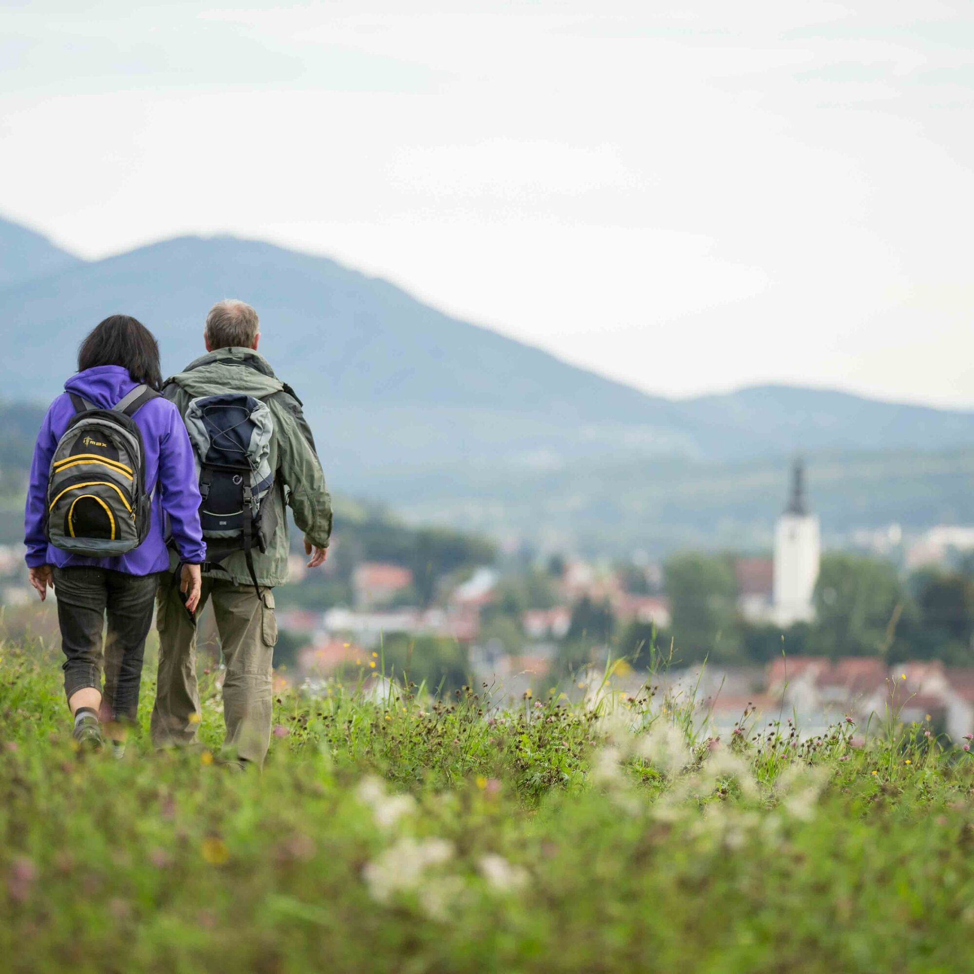
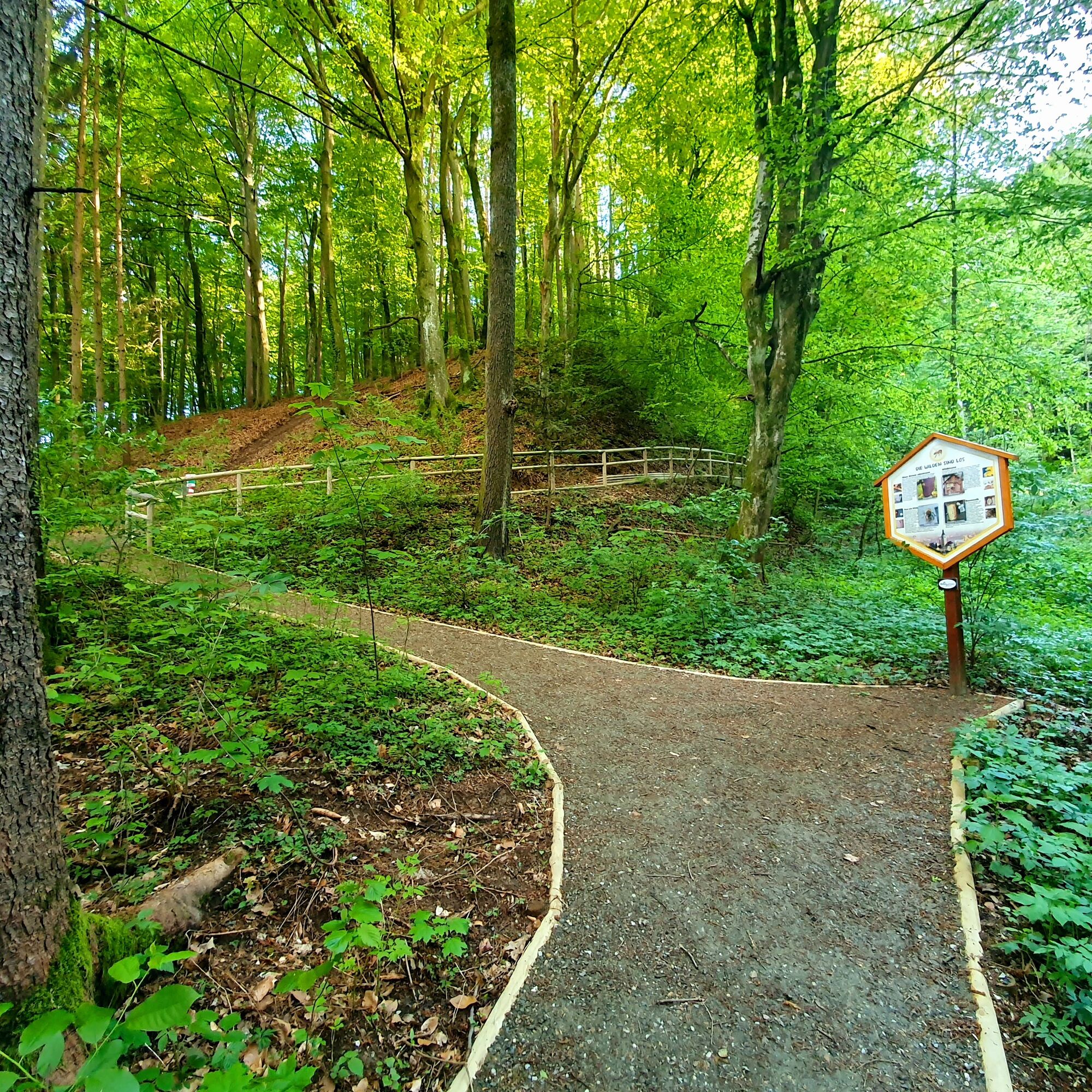
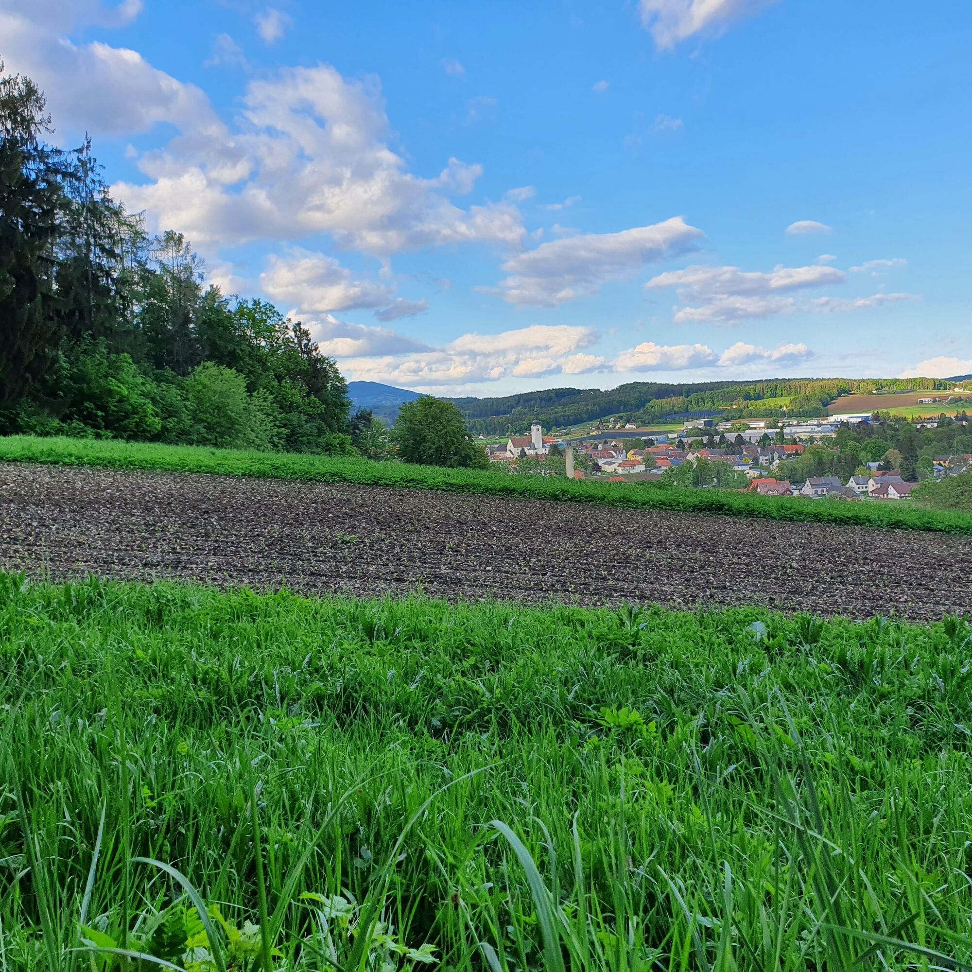
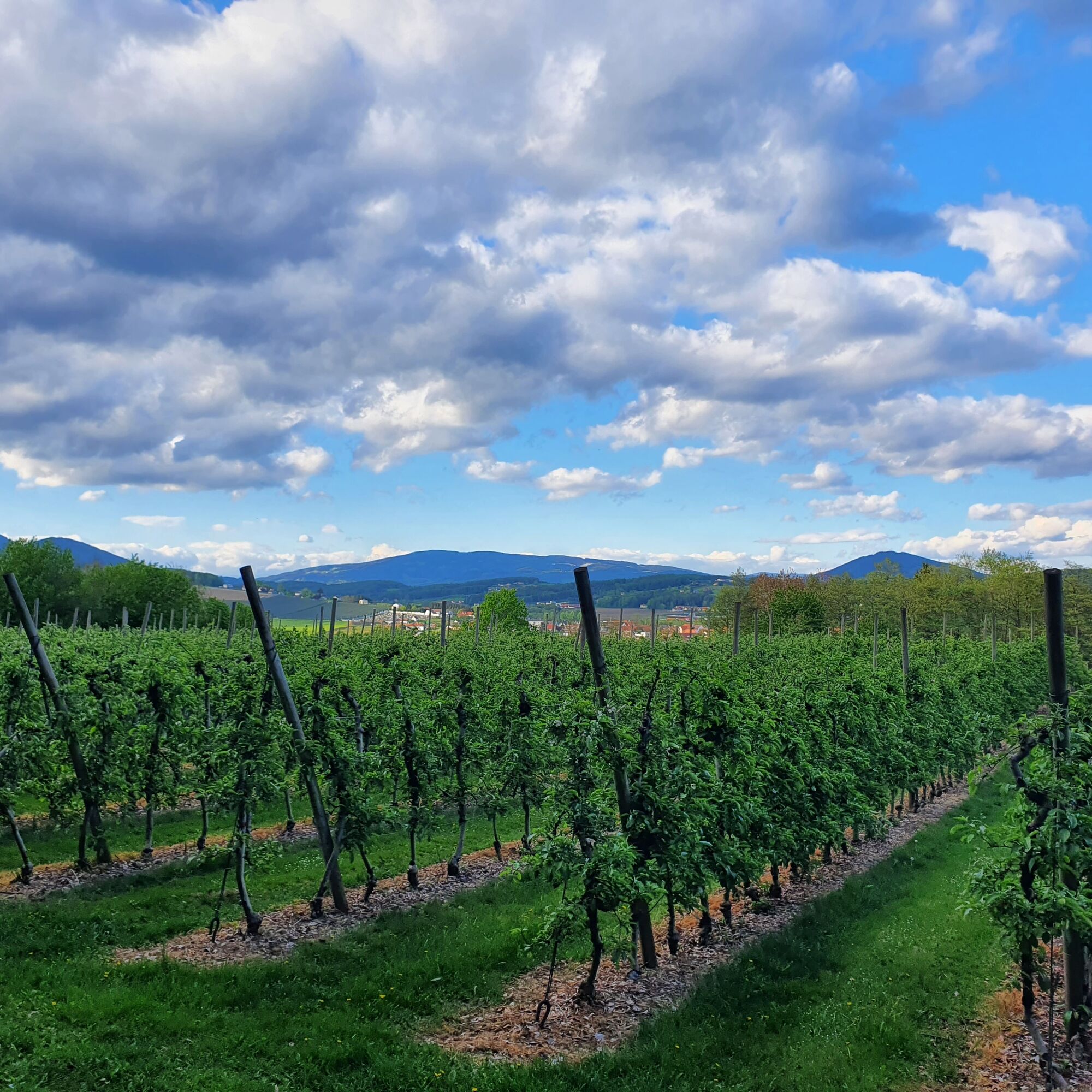
The romantic circular hiking trail leads through different landscapes that are typical of Eastern Styria: a still rural village, dense shady forests and past an apple orchard with a wonderful view of St. Ruprecht an der Raab. The Burgthannerweg is part of the Hand Pendl woodcarving trail "7 places 7 treasures".
- Stopień trudności
-
łatwe
- Ocena
-
- Trasa
-
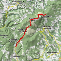
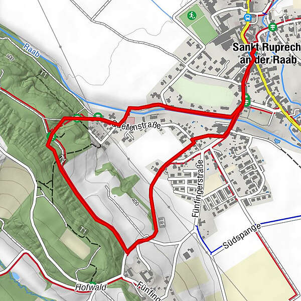
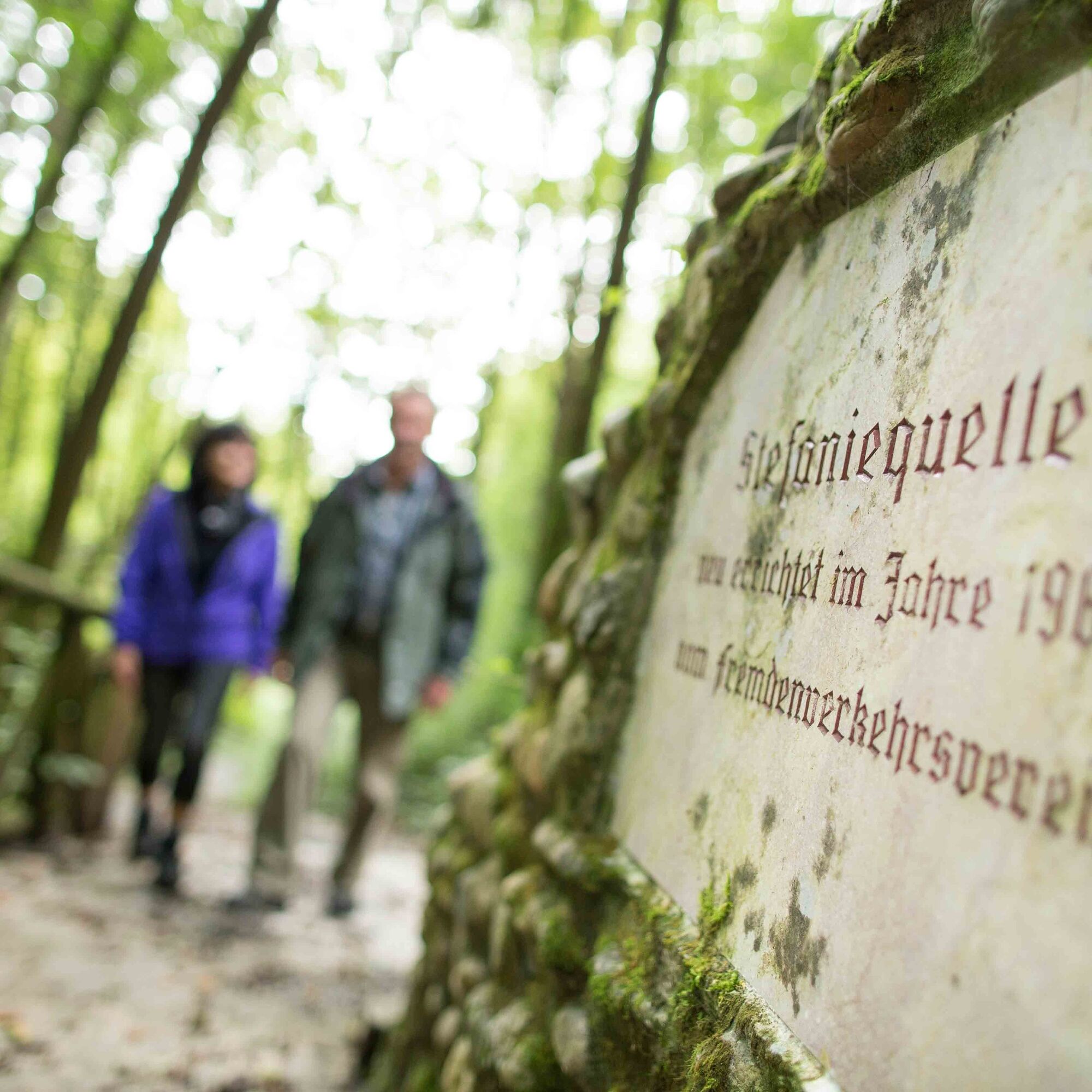
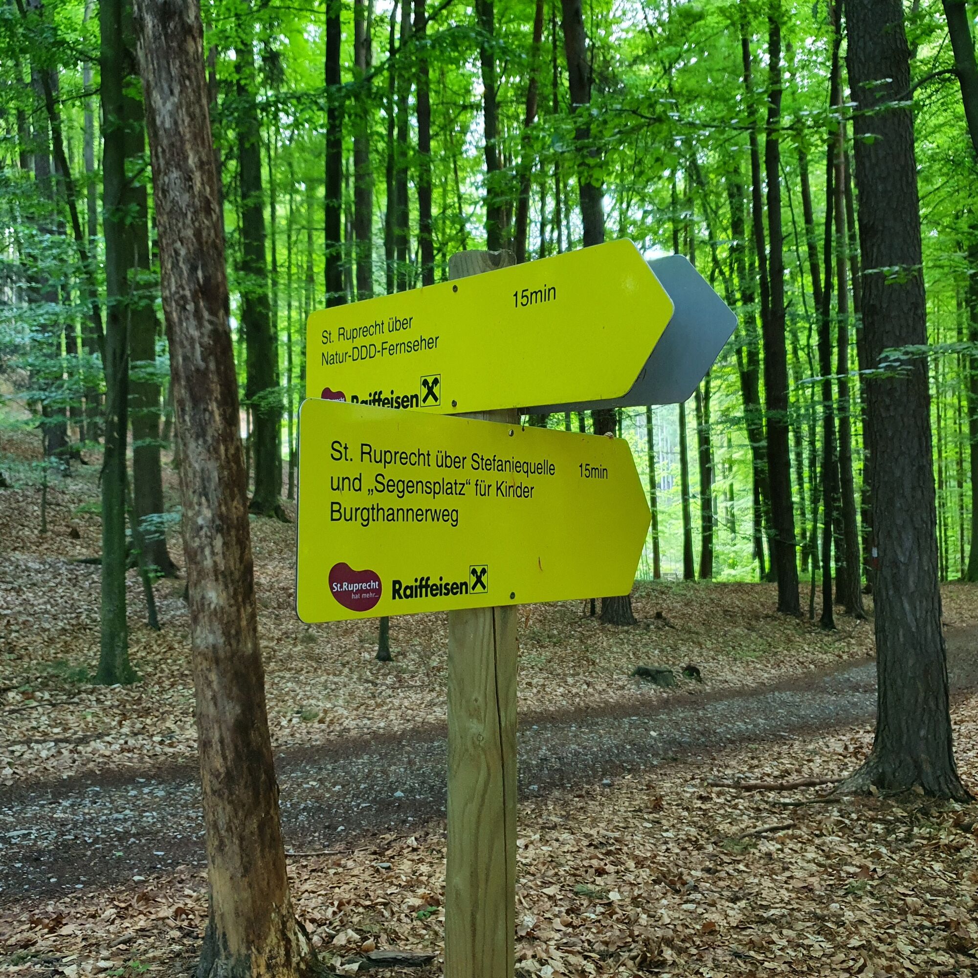
FriedensgrotteMariensäuleSankt Ruprecht an der Raab0,0 kmStefaniequelle1,0 km
- Najlepszy sezon
-
stylutmarkwimajczelipsiewrzpaźlisgru
- Najwyższy punkt
- 445 m
- Miejsce docelowe
-
St. Ruprecht - Main Square
- Profil wysokości
-


-

-
AutorWycieczka Burgthannerweg jest używany przez outdooractive.com pod warunkiem.
GPS Downloads


Informacje ogólne
Kulturalny/Historyczny
Obiecujący
Więcej wycieczek w regionach