© Tourismusverband Region Murau - Gemeinde Stadl-Predlitz

© Tourismusverband Region Murau - Gemeinde Stadl-Predlitz

- Krótki opis
-
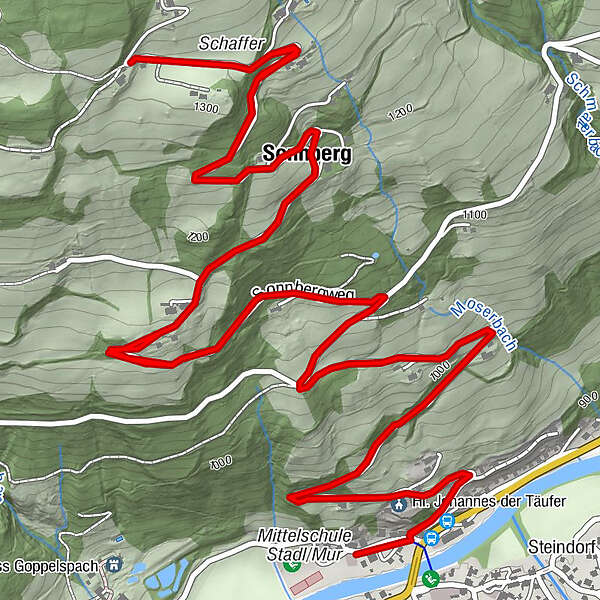
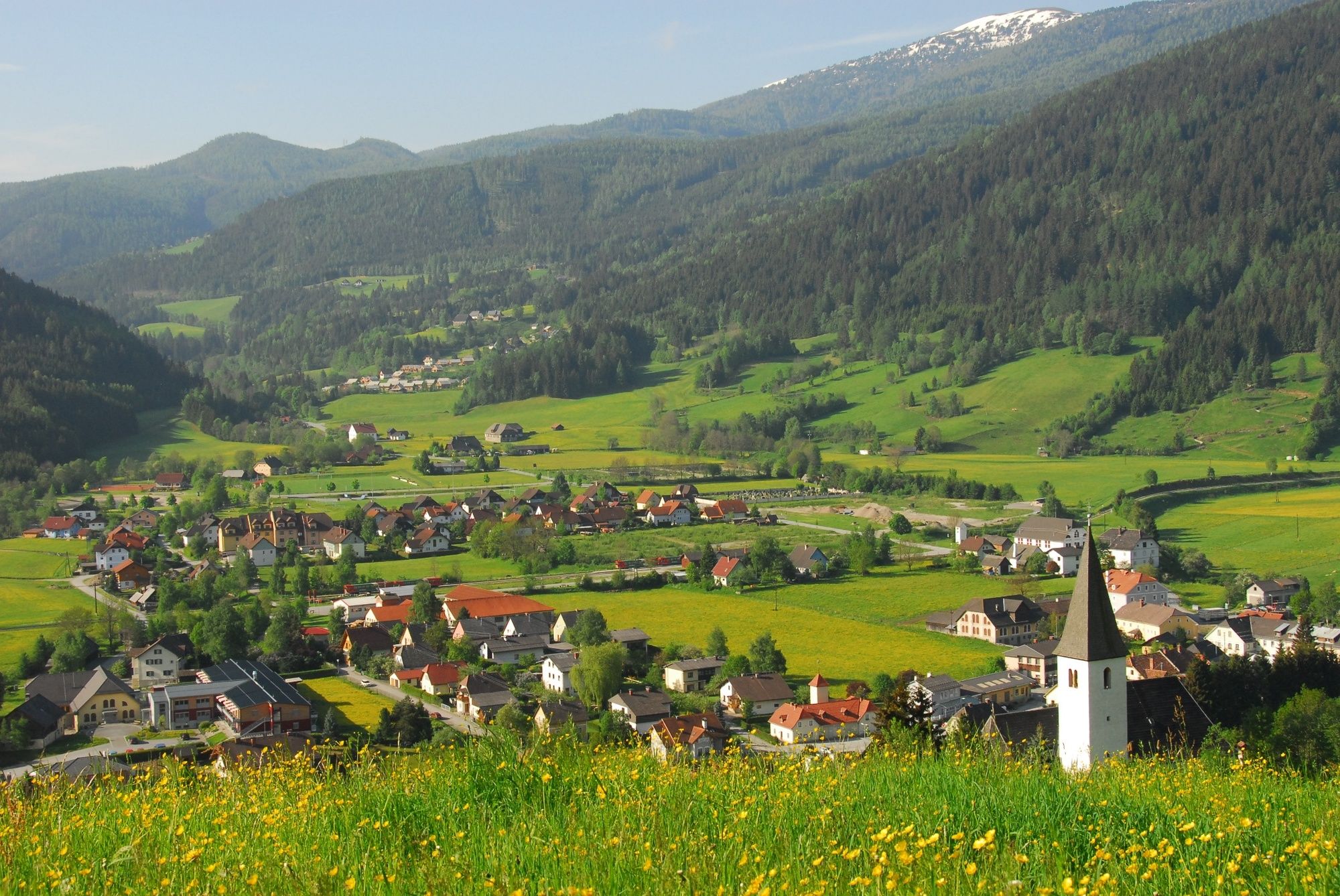
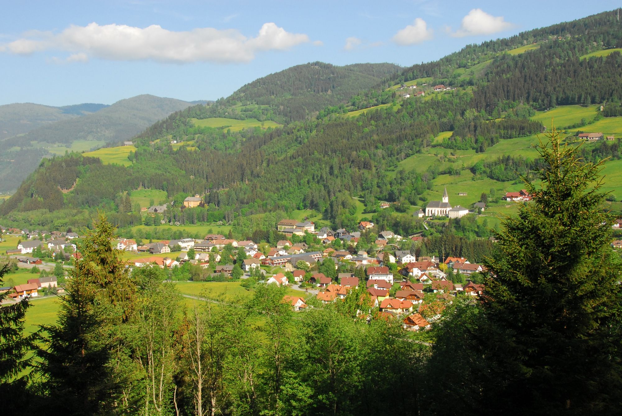
A leisurely, child-friendly walk on asphalt road, passing a number of mountain farmsteads. The numerous viewing points offering lovely vistas of the Kreischberg are a perfect place for a break.
- Stopień trudności
-
łatwe
- Ocena
-
- Trasa
-
Gasthof OrtnerStadl an der Mur0,1 kmHl. Johannes der Täufer0,5 kmSonnberg3,4 kmHl. Johannes der Täufer8,6 kmGasthof Ortner9,1 km
- Najlepszy sezon
-
stylutmarkwimajczelipsiewrzpaźlisgru
- Najwyższy punkt
- 1.323 m
- Miejsce docelowe
-
Gasthof Ortner/Dorfplatz
- Profil wysokości
-

- Autor
-
Wycieczka Path from Stadl an der Mur to the Sonnberg jest używany przez outdooractive.com pod warunkiem.
GPS Downloads


Informacje ogólne
Obiecujący
Więcej wycieczek w regionach
-
TourismusRegion Murau
1743
-
Lungau - Ferienregion
871
-
Stadl-Predlitz
89