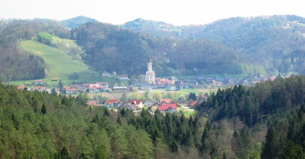
© Südsteiermark - Gemeinde St. Johann i. S.

© Südsteiermark - Lj St. Johann i. S.
- Krótki opis
-
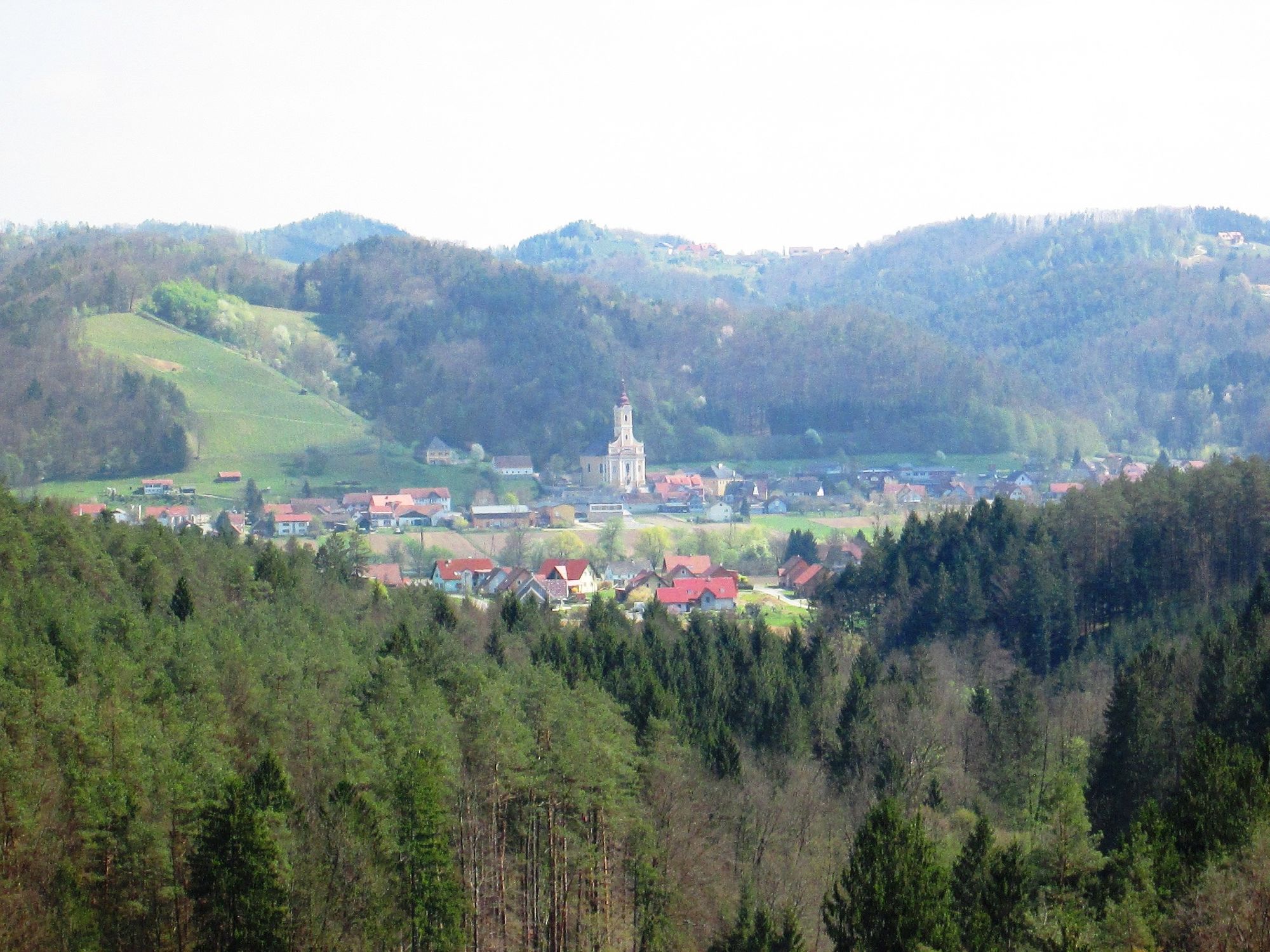
Beautiful circular hiking trail with many vantage points in southern Styria.
- Stopień trudności
-
średni
- Ocena
-
- Trasa
-
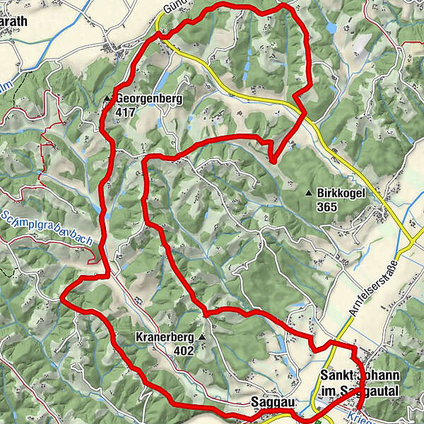
Gasthof Jauk0,1 kmPfarrkirche Heiliger Johannes der Täufer0,2 kmSankt Johann im Saggautal0,3 kmSaggau1,5 kmMaria Lourdes1,6 kmGeorgenberg (417 m)8,3 kmGasthof Literwirt9,3 kmMostschank Schneebacher10,4 kmKapellenschneider-Kapelle15,6 kmPfarrkirche Heiliger Johannes der Täufer20,6 kmSankt Johann im Saggautal20,6 kmGasthof Jauk20,7 km
- Najlepszy sezon
-
stylutmarkwimajczelipsiewrzpaźlisgru
- Najwyższy punkt
- 412 m
- Miejsce docelowe
-
Josefiplatz, St. Johann i.S.
- Profil wysokości
-


- Autor
-
Wycieczka Untergreithweg No. 17 jest używany przez outdooractive.com pod warunkiem.
GPS Downloads


Informacje ogólne
Przystanek odświeżania
Obiecujący
Więcej wycieczek w regionach
-
Südsteiermark
1135
-
Schilcherland Steiermark
1100
-
St. Johann im Saggautal
283