

© Oststeiermark Tourismus - TV Joglland-Waldheimat

© Oststeiermark Tourismus - Birgit Kandlbauer

© Oststeiermark Tourismus - Birgit Kandlbauer

© Oststeiermark Tourismus - TV Joglland-Waldheimat

© Oststeiermark Tourismus - TV Joglland-Waldheimat
- Krótki opis
-
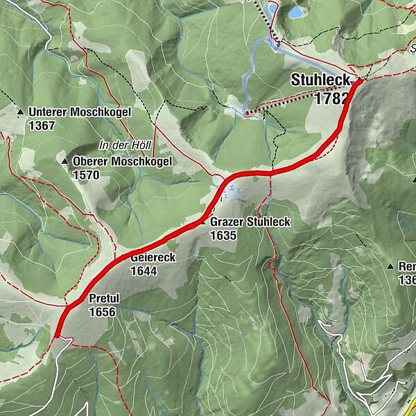
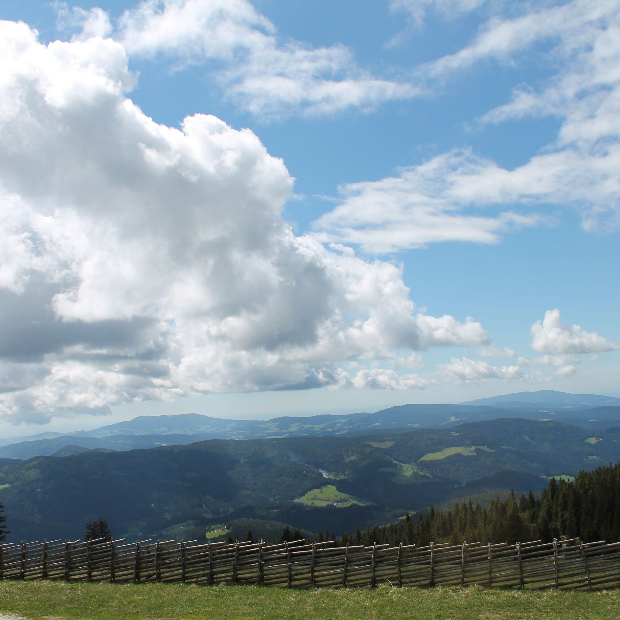
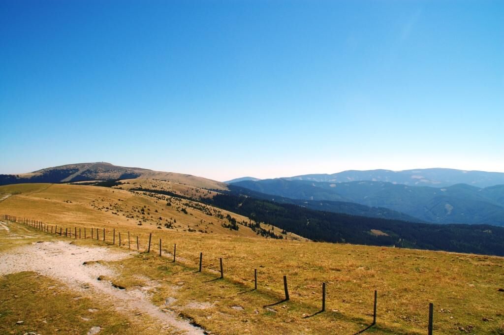
The route takes us from the “Roseggerhaus” shelter on the Pretul from 1586m over the ridge of the Pretulalpe to the Stuhleck (1782m). When the weather is nice you have a wonderful view!
- Stopień trudności
-
średni
- Ocena
-
- Trasa
-
Roseggerhaus0,0 kmPretul (1.656 m)0,5 kmGeiereck (1.644 m)1,2 kmGrazer Stuhleck (1.635 m)2,1 kmStuhleck (1.782 m)5,2 km
- Najlepszy sezon
-
stylutmarkwimajczelipsiewrzpaźlisgru
- Najwyższy punkt
- 1.770 m
- Miejsce docelowe
-
Alois Günther House at Stuhleck
- Profil wysokości
-


- Autor
-
Wycieczka From the Pretul to the Stuhleck jest używany przez outdooractive.com pod warunkiem.
GPS Downloads


Informacje ogólne
Przystanek odświeżania
Obiecujący
Więcej wycieczek w regionach
-
Hochsteiermark
4066
-
Waldheimat
2182
-
Rettenegg
452


