© Oststeiermark Tourismus - Helmut Schweighofer

© Oststeiermark Tourismus - Helmut Schweighofer

© Oststeiermark Tourismus - Helmut Schweighofer

© Oststeiermark Tourismus - Tourismusverband Oststeiermark

© Oststeiermark Tourismus - Tourismusverband Oststeiermark
- Krótki opis
-
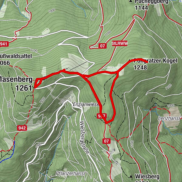
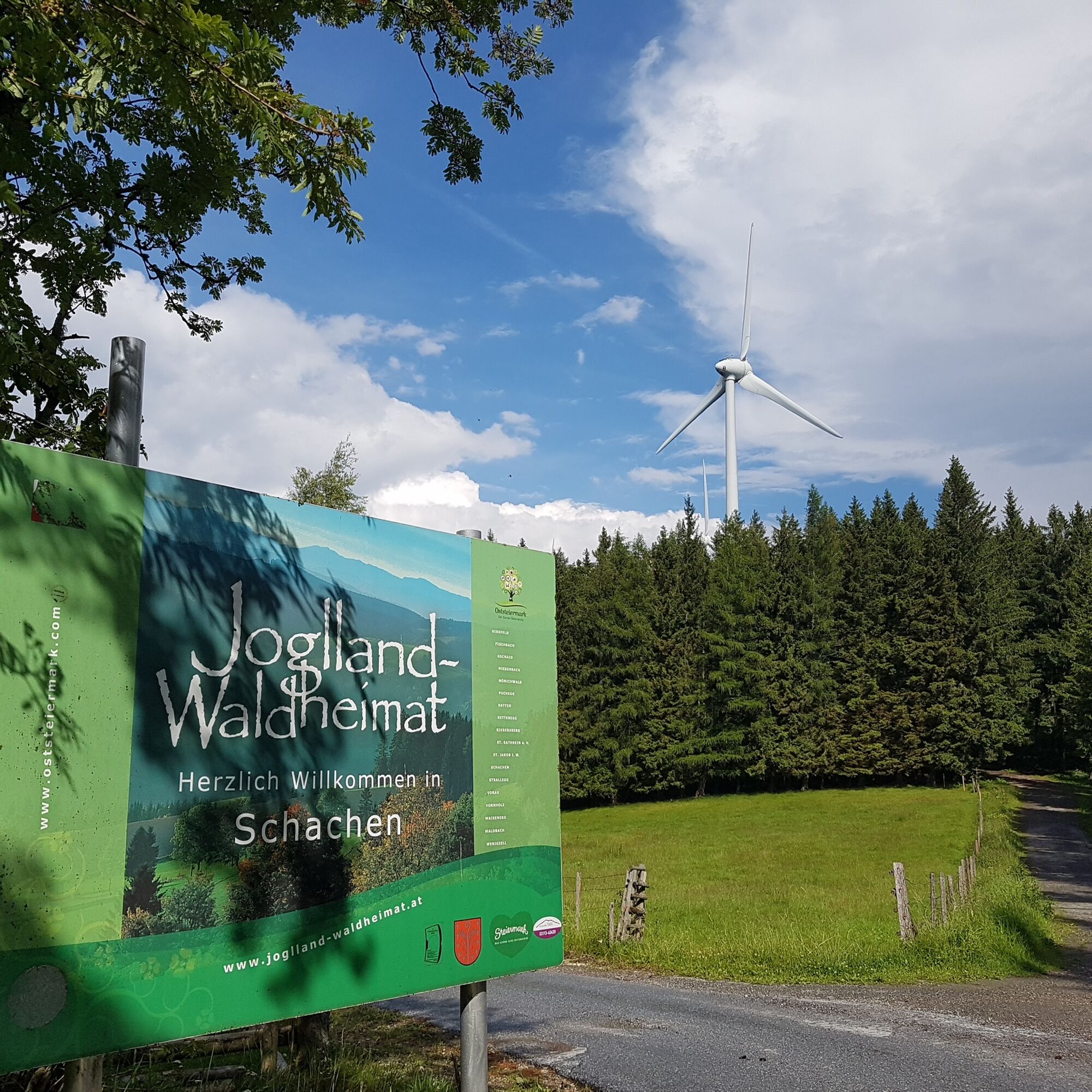
We walk to the wind turbines on the Pongratzer Kogel.
- Stopień trudności
-
łatwe
- Ocena
-
- Trasa
-
Olmstoll0,1 kmPongratzer Kogel (1.248 m)1,0 kmGlückskapelle3,9 kmMasenberg (1.261 m)4,0 kmSchutzhaus Masenberg4,3 kmOlmstoll4,6 km
- Najlepszy sezon
-
stylutmarkwimajczelipsiewrzpaźlisgru
- Najwyższy punkt
- 1.254 m
- Miejsce docelowe
-
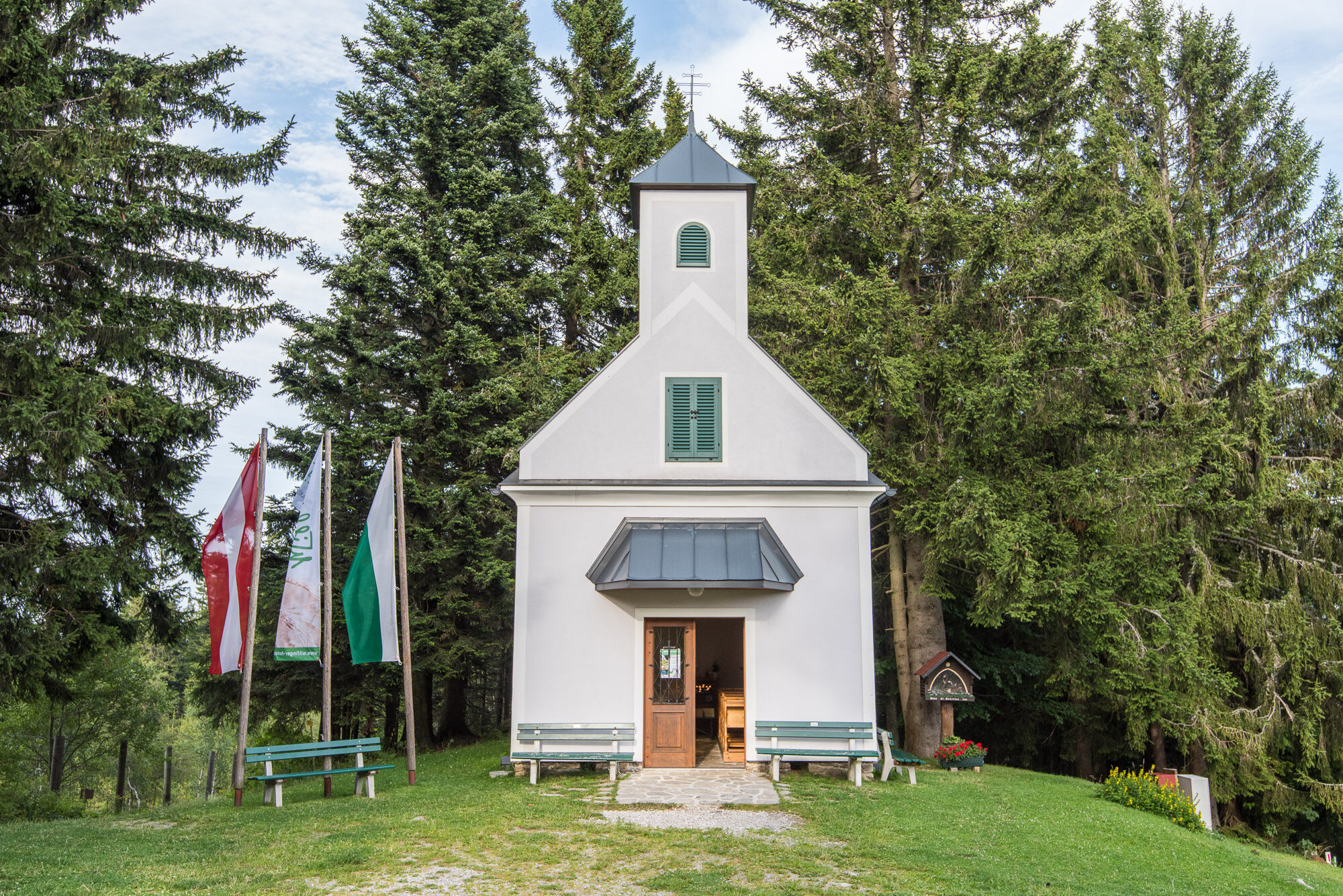
Pöllauberg, Masenberg Olmstoll
- Profil wysokości
-


-

-
AutorWycieczka Circular trail on the Masenberg jest używany przez outdooractive.com pod warunkiem.
GPS Downloads


Informacje ogólne
Przystanek odświeżania
Flora
Fauna
Więcej wycieczek w regionach
-
Thermen- & Vulkanland
1324
-
Naturpark Pöllauer Tal
1095
-
Pöllauberg
353