Hochtor über das Schneeloch - Josefinensteig - Hess-Hütte

Wędrówka
© Steve Pressler/ bergfex
© Steve Pressler/ bergfex

© Steve Pressler/ bergfex
© Steve Pressler/ bergfex
© Steve Pressler/ bergfex
© Steve Pressler/ bergfex
© Steve Pressler/ bergfex
© Steve Pressler/ bergfex
Dane wycieczki
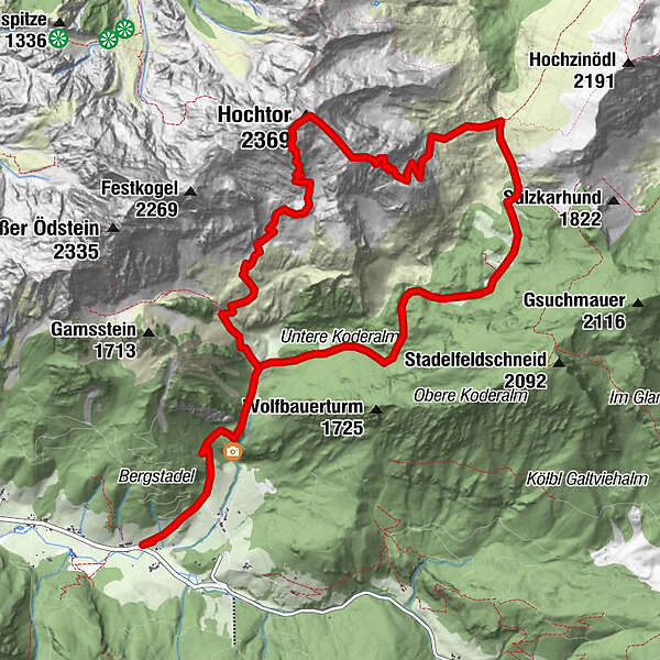
11,74km
876
- 2.317m
1.413hm
07:30h
- Krótki opis
-
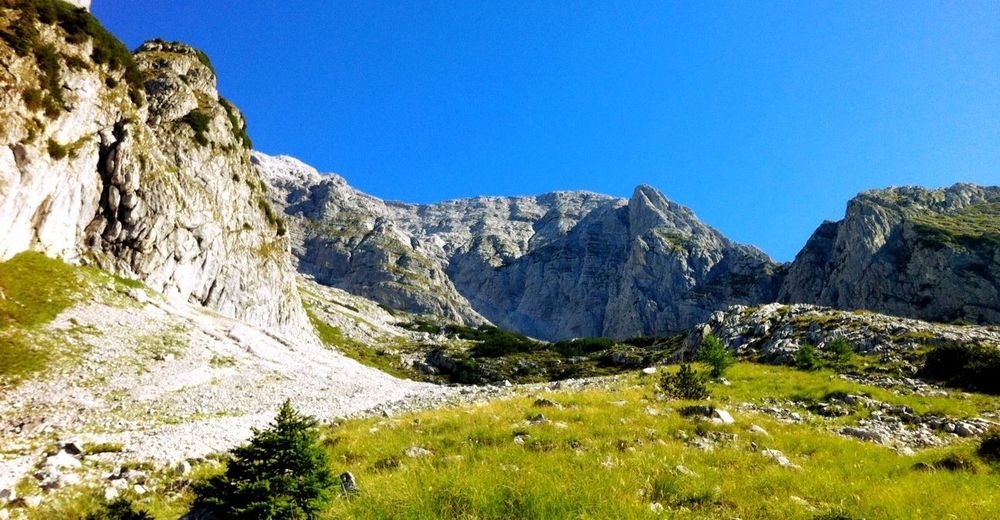
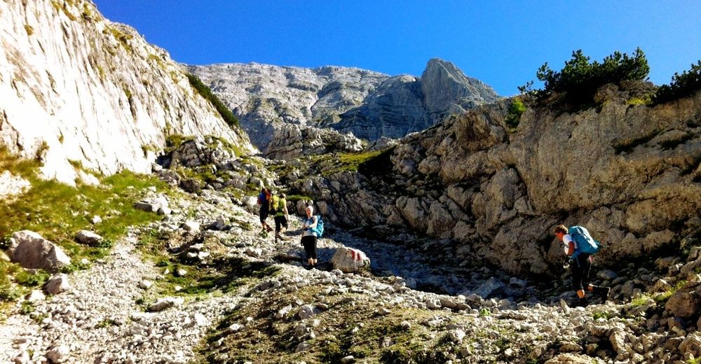
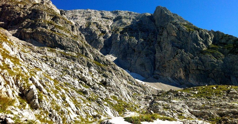
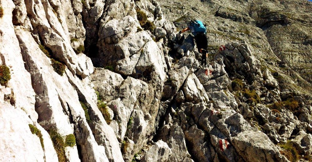
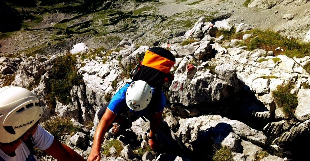
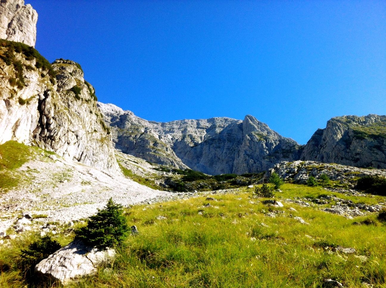
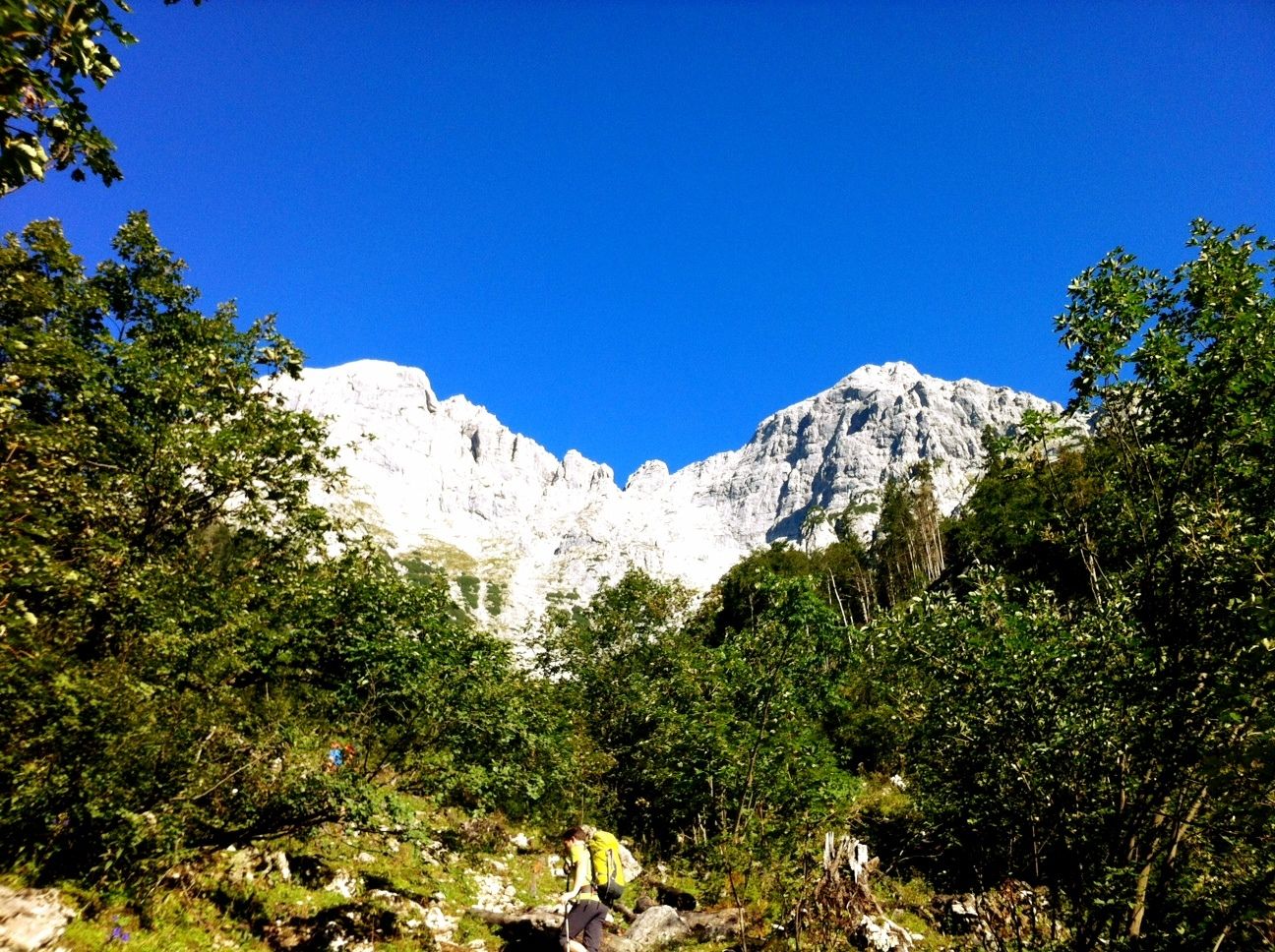
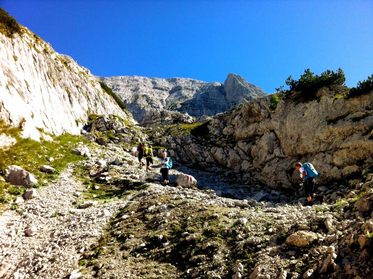
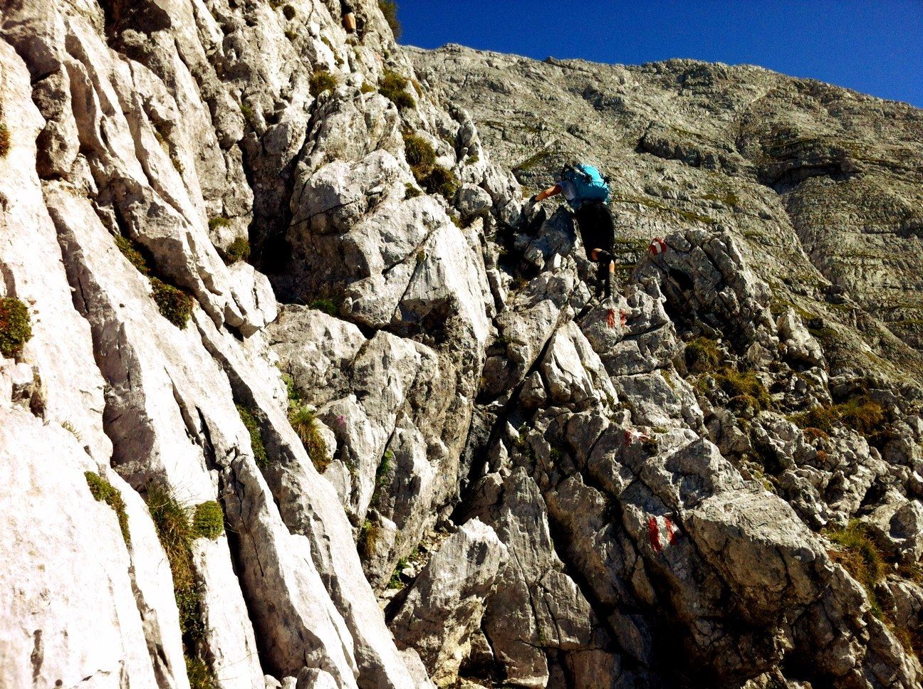
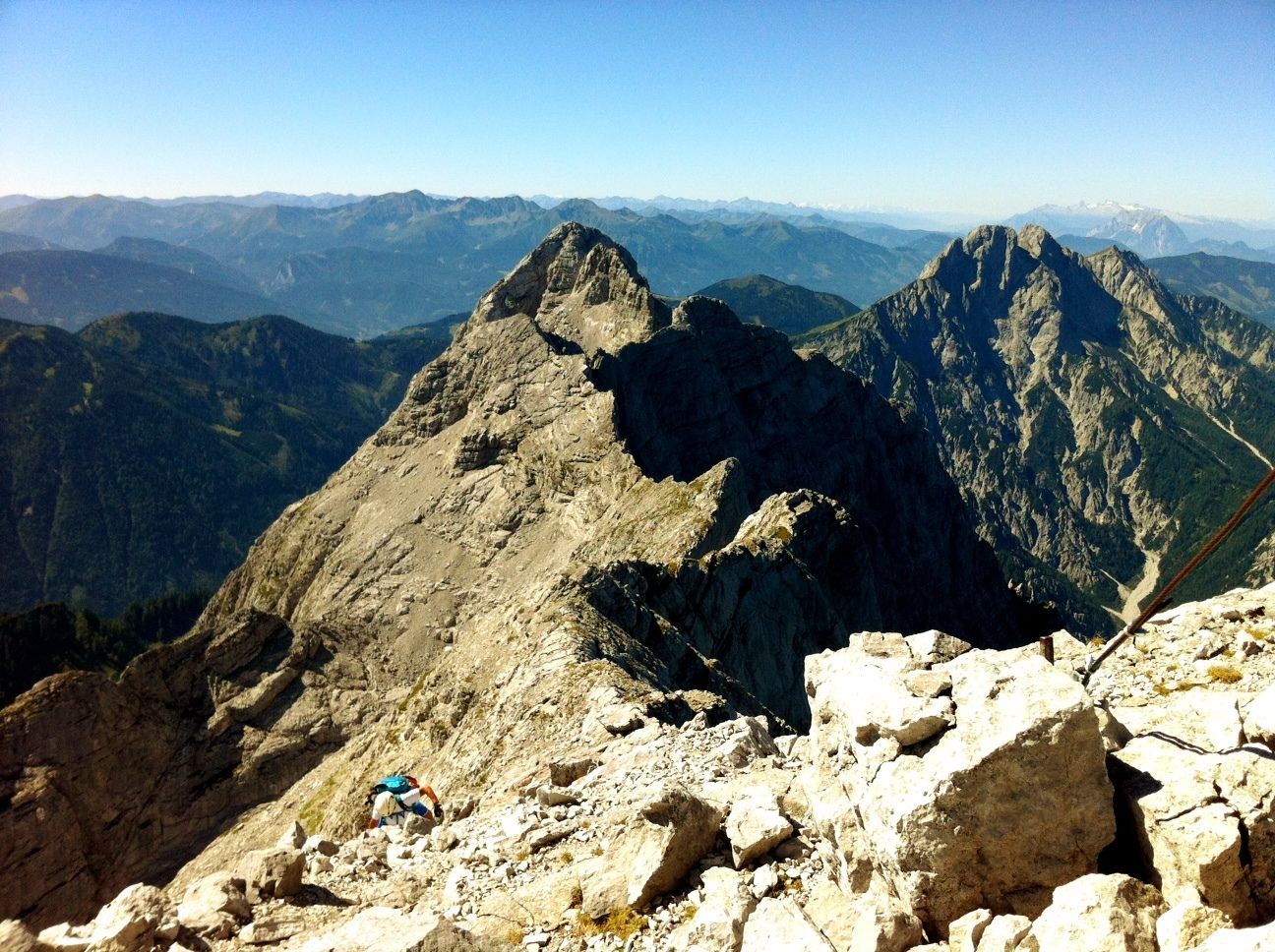
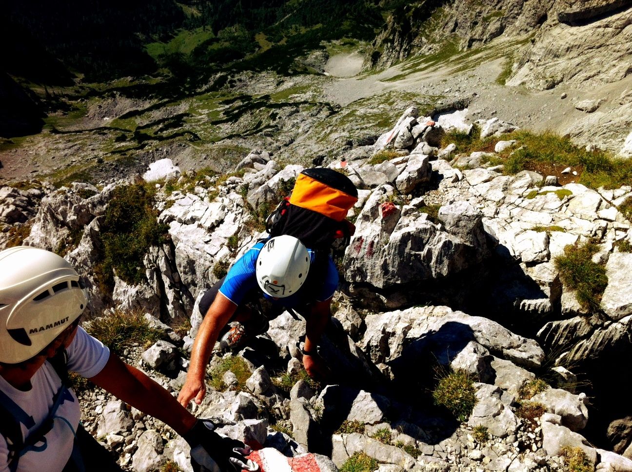
Eine anspruchsvolle Wanderung in felsigem, steilen Gelände im leichten Klettersteig-Stil auf den höchsten Gipfel im Gesäuse. Neben Ausdauer sind vorallem Trittsicherheit, Schwindelfreiheit und leichte Klettersteig-Kenntnisse von Vorteil.
Helm/ eventuell auch Gurt und Sicherungsseil empfohlen.
- Stopień trudności
-
ciężkie
- Ocena
-
- Punkt wyjścia
-
GH Kölblwirt, Johnsbach
- Trasa
-
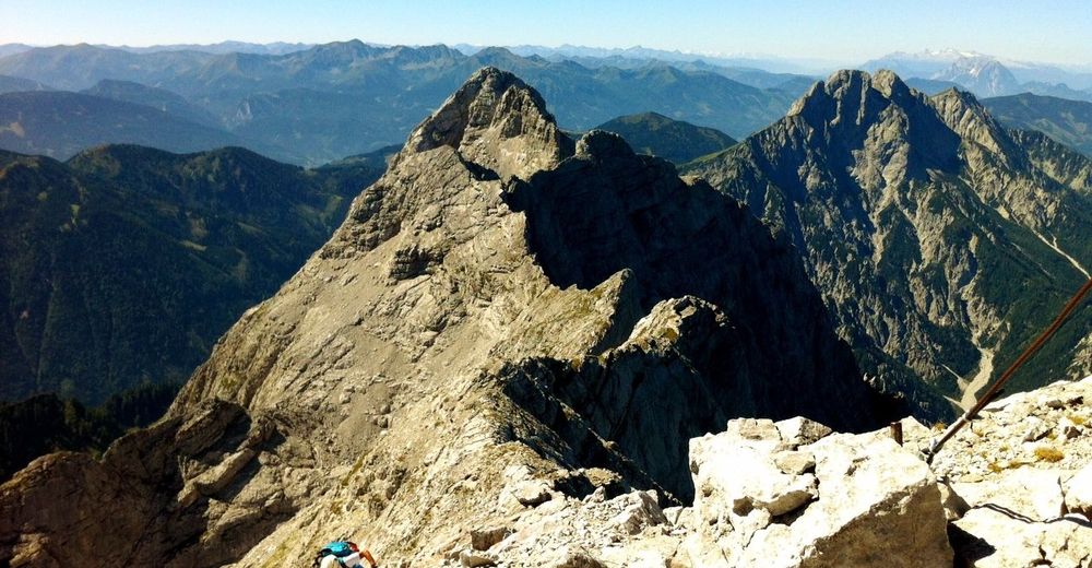
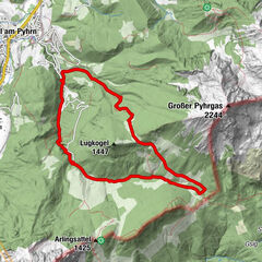
Wolfbauer Wasserfall1,4 kmSchneeloch4,4 kmHaindlkarwand (2.319 m)5,3 kmHochtor (2.369 m)5,4 kmGugl (2.301 m)5,7 kmHesshütte7,7 kmGamsbrunnen8,3 km
- Najlepszy sezon
-
stylutmarkwimajczelipsiewrzpaźlisgru
- Najwyższy punkt
- 2.317 m
- Miejsce docelowe
-
Hochtor Gipfel 2369 Hm.
- Odpoczynek/Odosobnienie
-
Hess-Hütte, GH Kölblwirt
- Mapy
-
Österr. Karte Nr. 100 Hieflau


")
