- Krótki opis
-
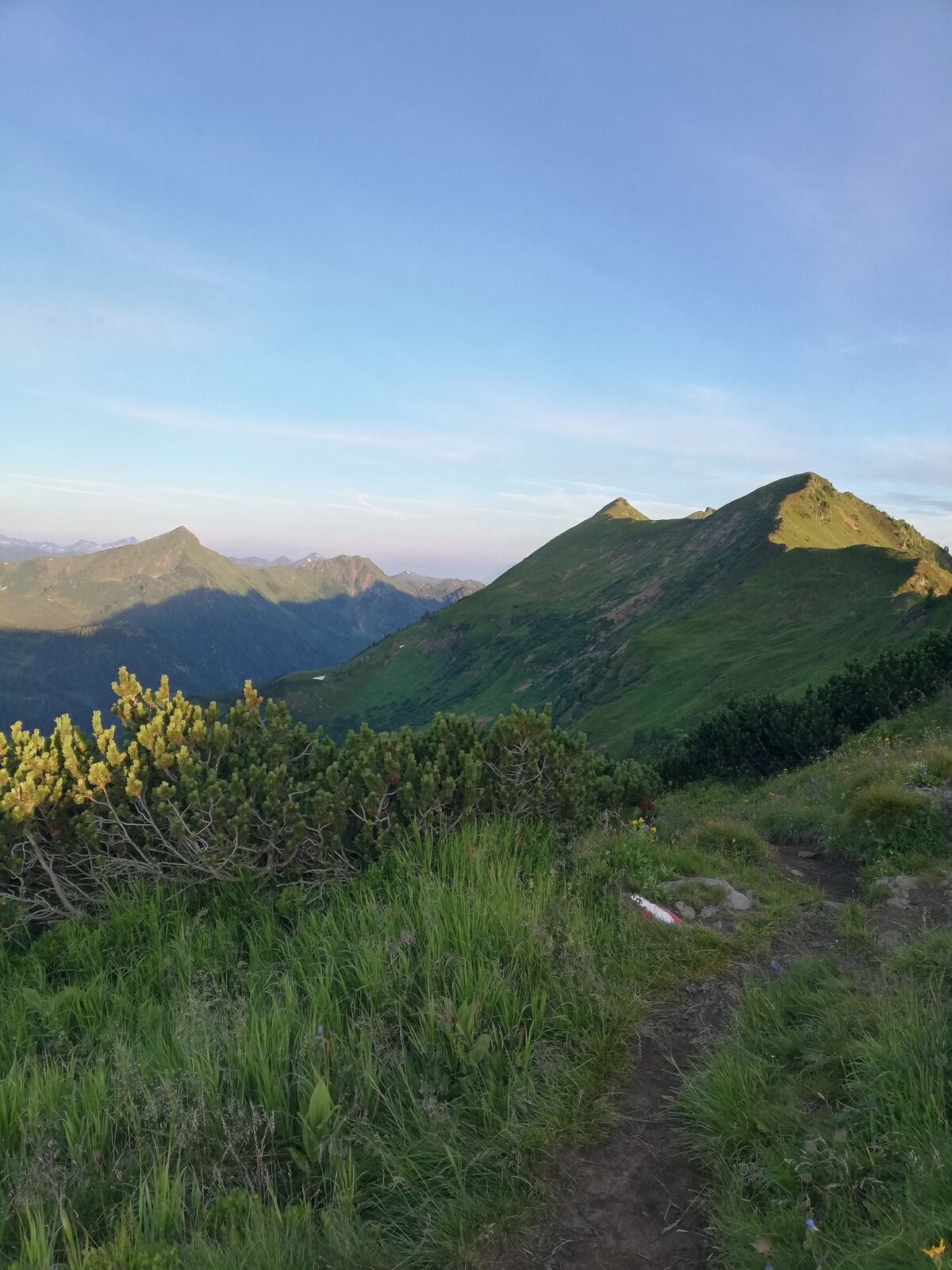
Impressive half-day tour in the highest mountain village of Styria.
- Stopień trudności
-
średni
- Ocena
-
- Trasa
-
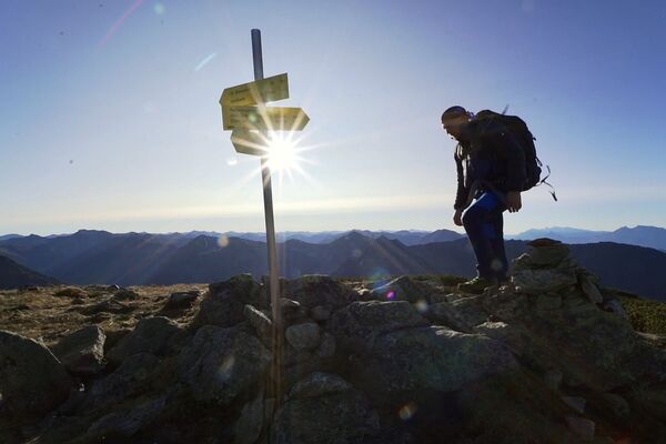
Bergrettungshütte0,0 kmHochrettelstein (2.220 m)3,7 kmBergrettungshütte7,3 km
- Najlepszy sezon
-
stylutmarkwimajczelipsiewrzpaźlisgru
- Najwyższy punkt
- 2.199 m
- Miejsce docelowe
-
Planneralm
- Profil wysokości
-


-

-
AutorWycieczka Via Plannersee and Plannerknot to the Hochrettelstein jest używany przez outdooractive.com pod warunkiem.
GPS Downloads


Informacje ogólne
Flora
Obiecujący
Więcej wycieczek w regionach