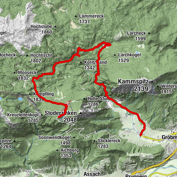
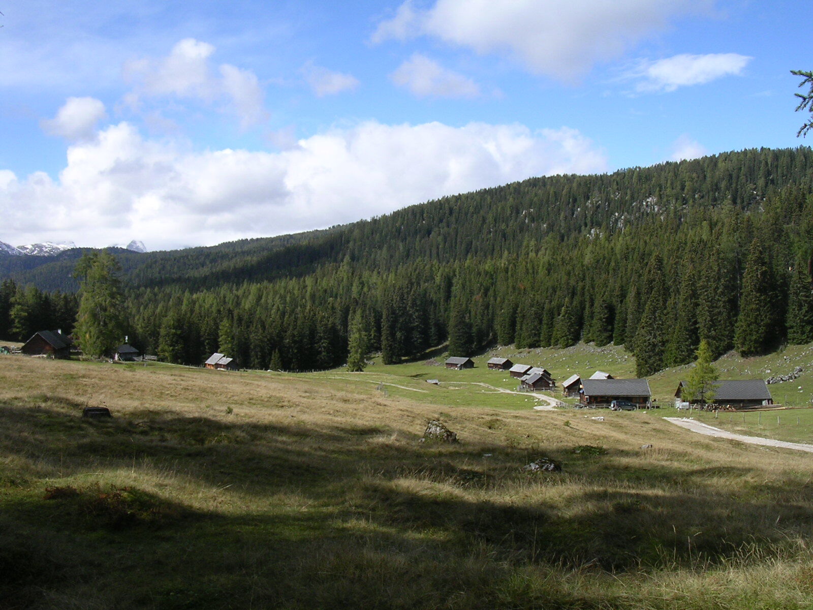
Hike through forest and alpine pastures from the Stoderzinken to the Viehbergalm

Wędrówka

© Erlebnisregion Schladming-Dachstein - Schladming Dachstein
- Krótki opis
-
Long hike, rich in variety, from the Stoderzinken down through the Notgasse to the Viehbergalm, then through the Öfen to Gröbming Winkl.
- Stopień trudności
-
średni
- Ocena
-
- Trasa
-
Stoder0,1 kmBerggasthof Steinerhaus0,1 kmBrünner Hütte1,0 kmNotgasse4,5 kmRiesgasse5,1 kmBrandalm6,3 kmViehbergalm10,7 kmSimeterhütte10,7 kmRitzingerhütte11,0 kmEckangerl11,7 kmSeeboden14,1 kmOberwinkl17,9 kmWinkl18,5 km
- Najlepszy sezon
-
stylutmarkwimajczelipsiewrzpaźlisgru
- Najwyższy punkt
- 1.824 m
- Miejsce docelowe
-
Gröbming Winkl
- Profil wysokości
-

- Autor
-
Wycieczka Hike through forest and alpine pastures from the Stoderzinken to the Viehbergalm jest używany przez outdooractive.com pod warunkiem.
GPS Downloads


Informacje ogólne
Przystanek odświeżania
Flora
Fauna
Więcej wycieczek w regionach
-
Schladming - Dachstein
3001
-
Haus - Aich
1364
-
Aich
275


