© Weges OG

© Weges OG

© Weges OG

© Weges OG

© Weges OG

© Weges OG

© Weges OG

© Weges OG

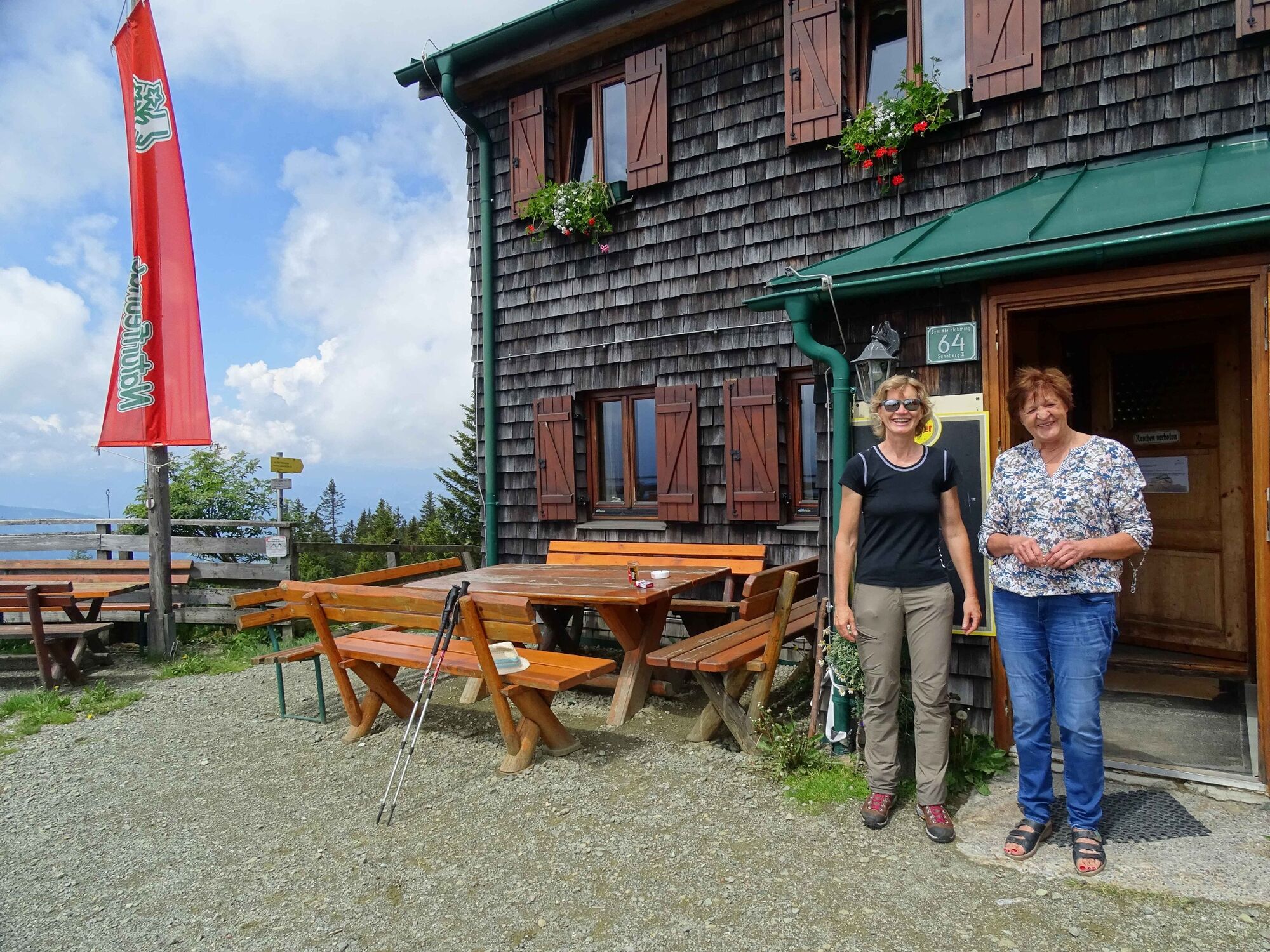
© Erlebnisregion Murtal - Naturfreunde Knittelfeld

- Krótki opis
- Stopień trudności
-
średni
- Ocena
-
- Trasa
-
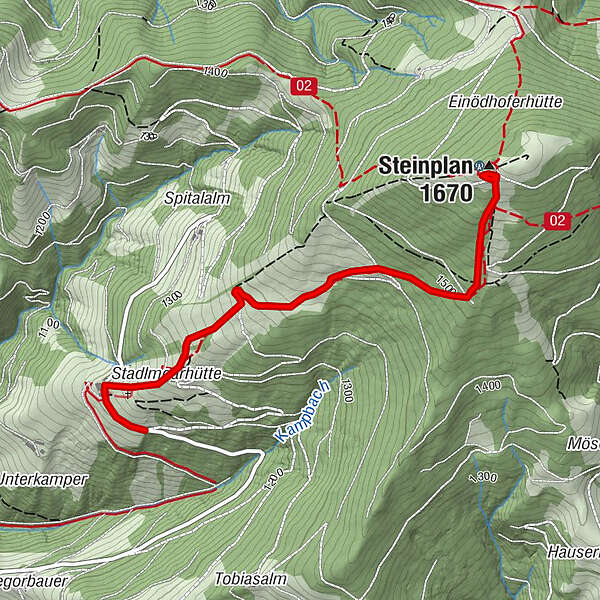
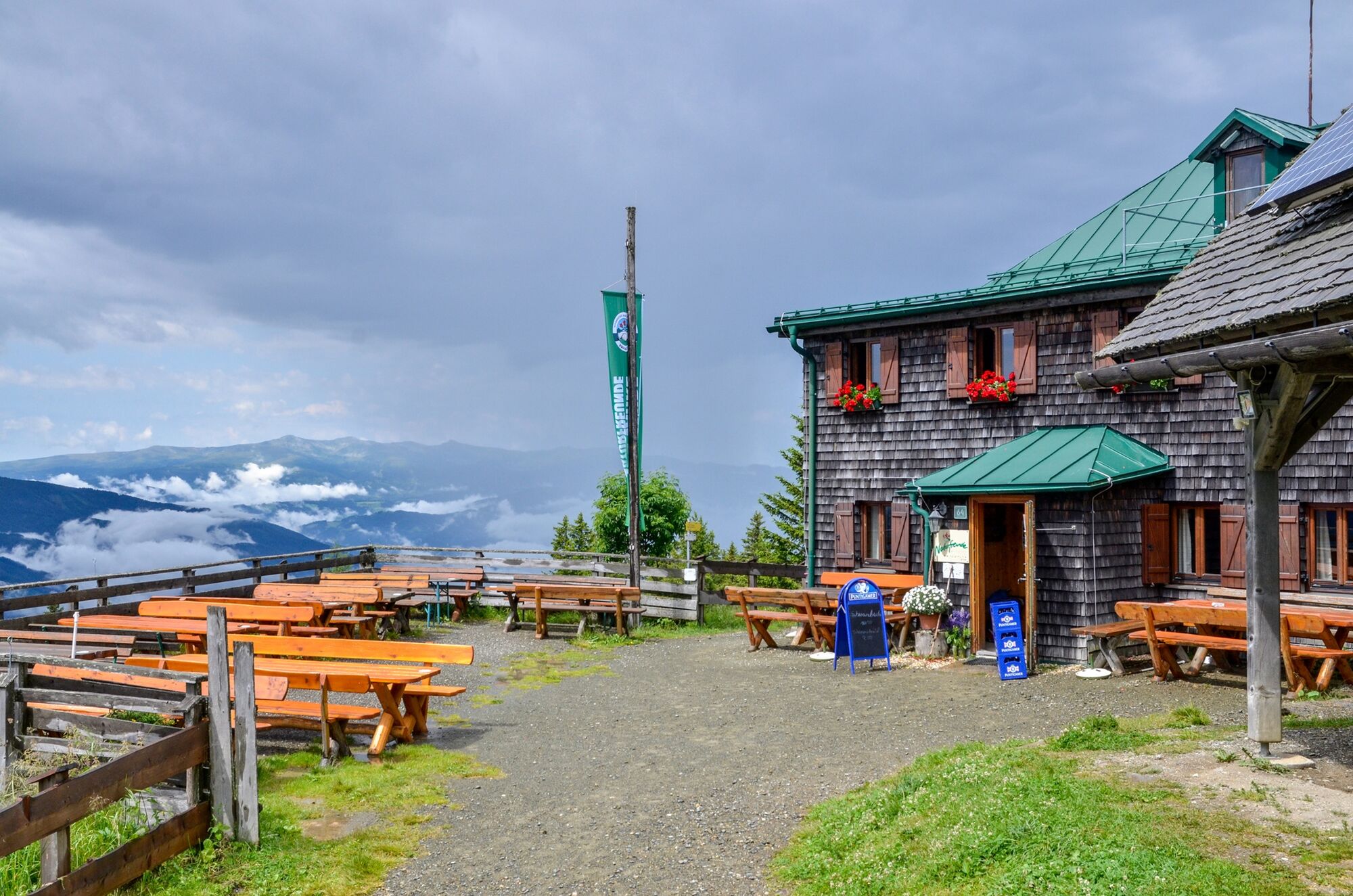
Steinplan (1.670 m)2,8 kmSteinplan Schutzhaus2,9 km
- Najlepszy sezon
-
stylutmarkwimajczelipsiewrzpaźlisgru
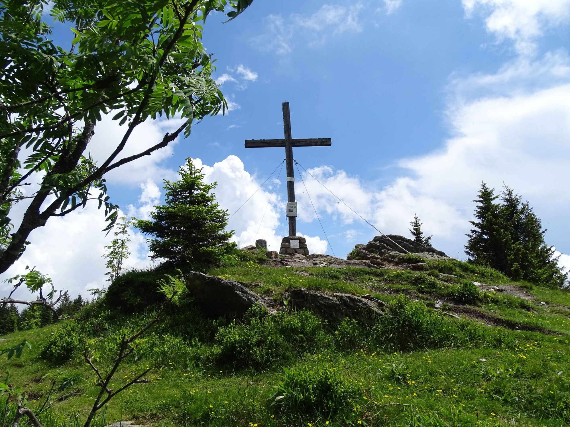
- Najwyższy punkt
- 1.654 m
- Miejsce docelowe
-
Small parking about 400 m from the organic farm Oberkamper.
- Profil wysokości
-


-

-
AutorWycieczka Steinplan starting Oberkamper jest używany przez outdooractive.com pod warunkiem.
GPS Downloads


Warunki na szlaku
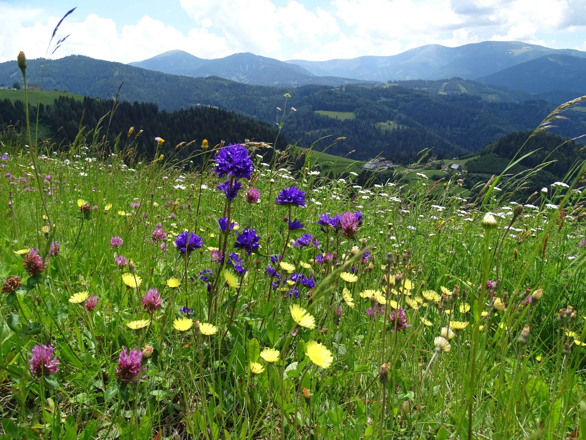
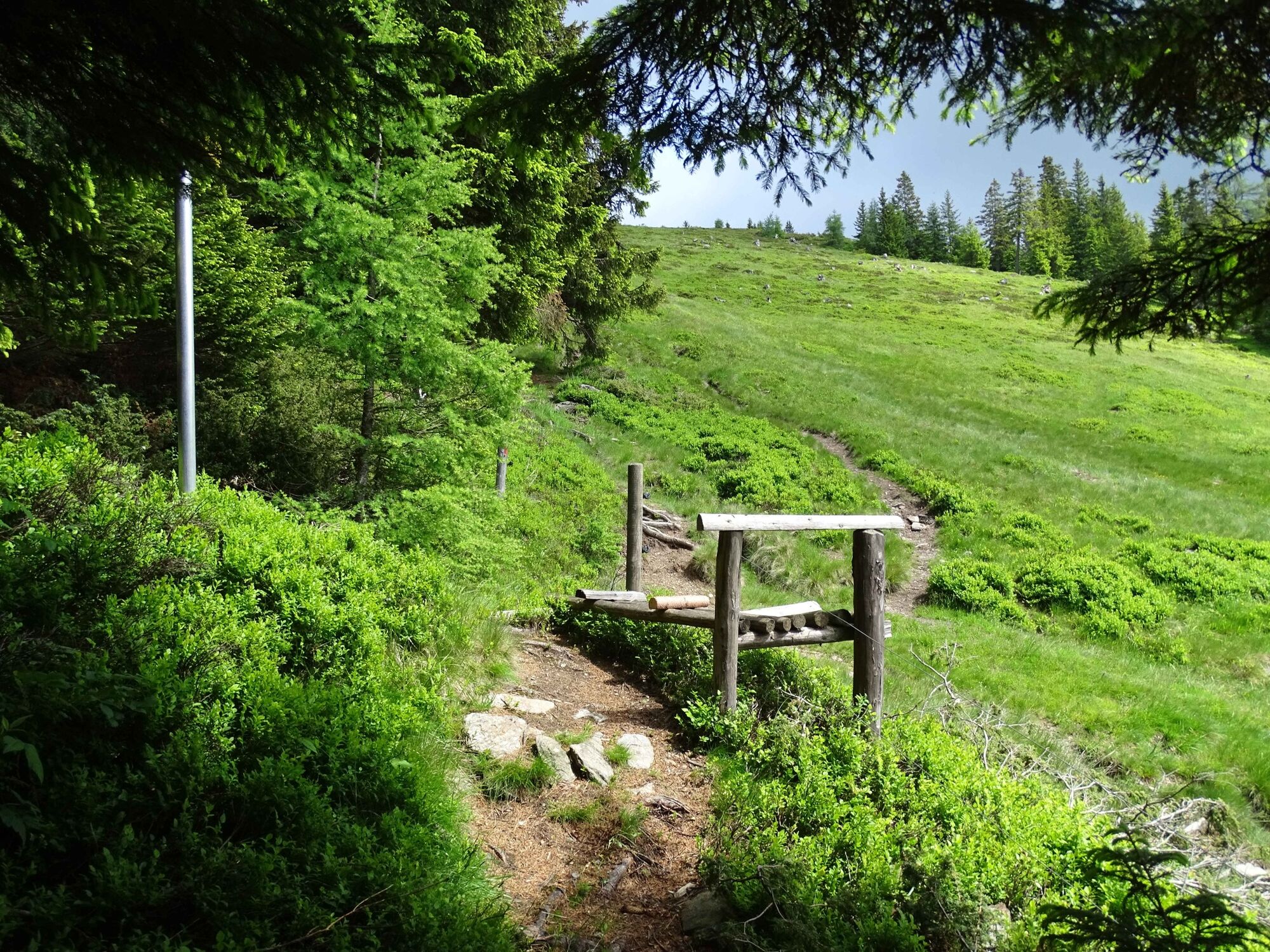
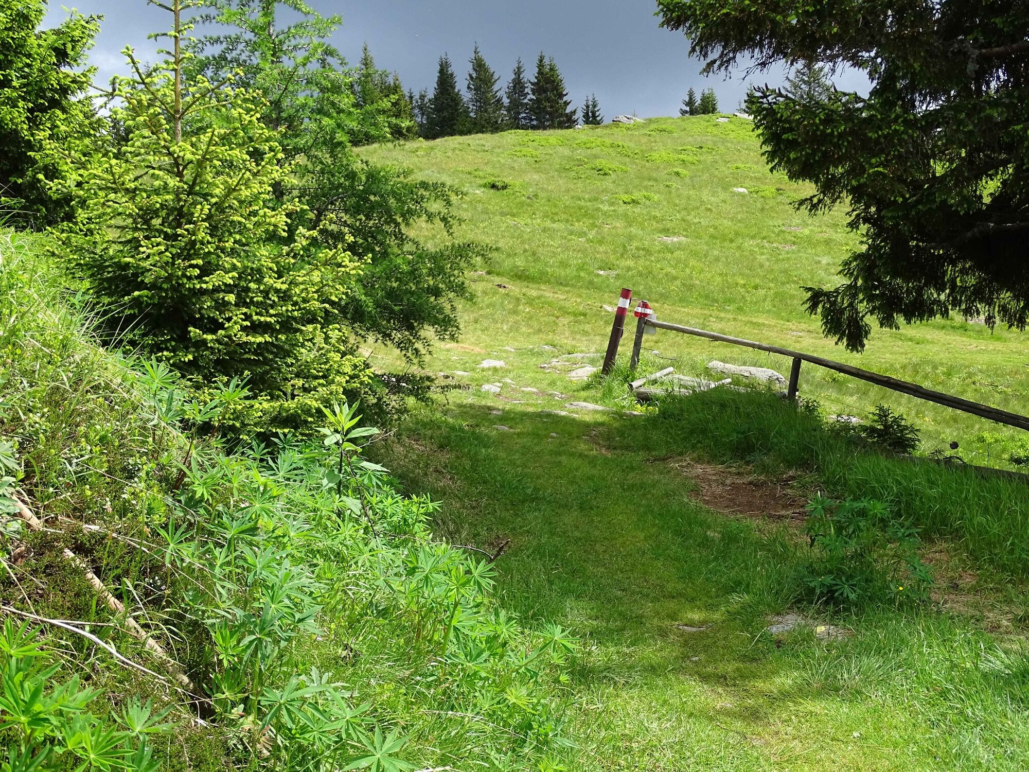
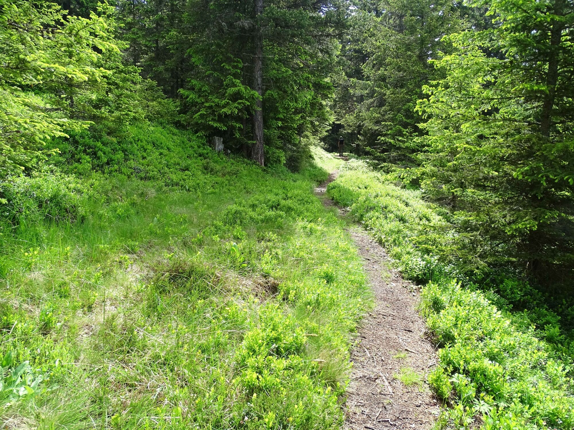
Las
Informacje ogólne
Przystanek odświeżania
Obiecujący
Więcej wycieczek w regionach