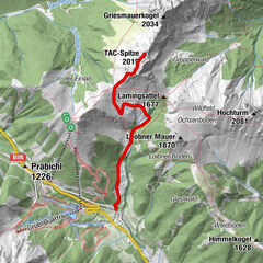
© Alpenverein Austria - Dr. Richard Goldband

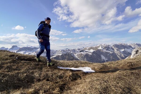
© TV Hochsteiermark - Fritz Bayerl

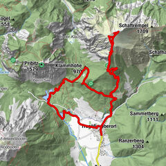
© Alpenverein Austria - Dr. Richard Goldband

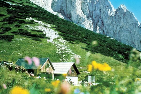
© TV Hochsteiermark - Tom Lamm

- Krótki opis
-
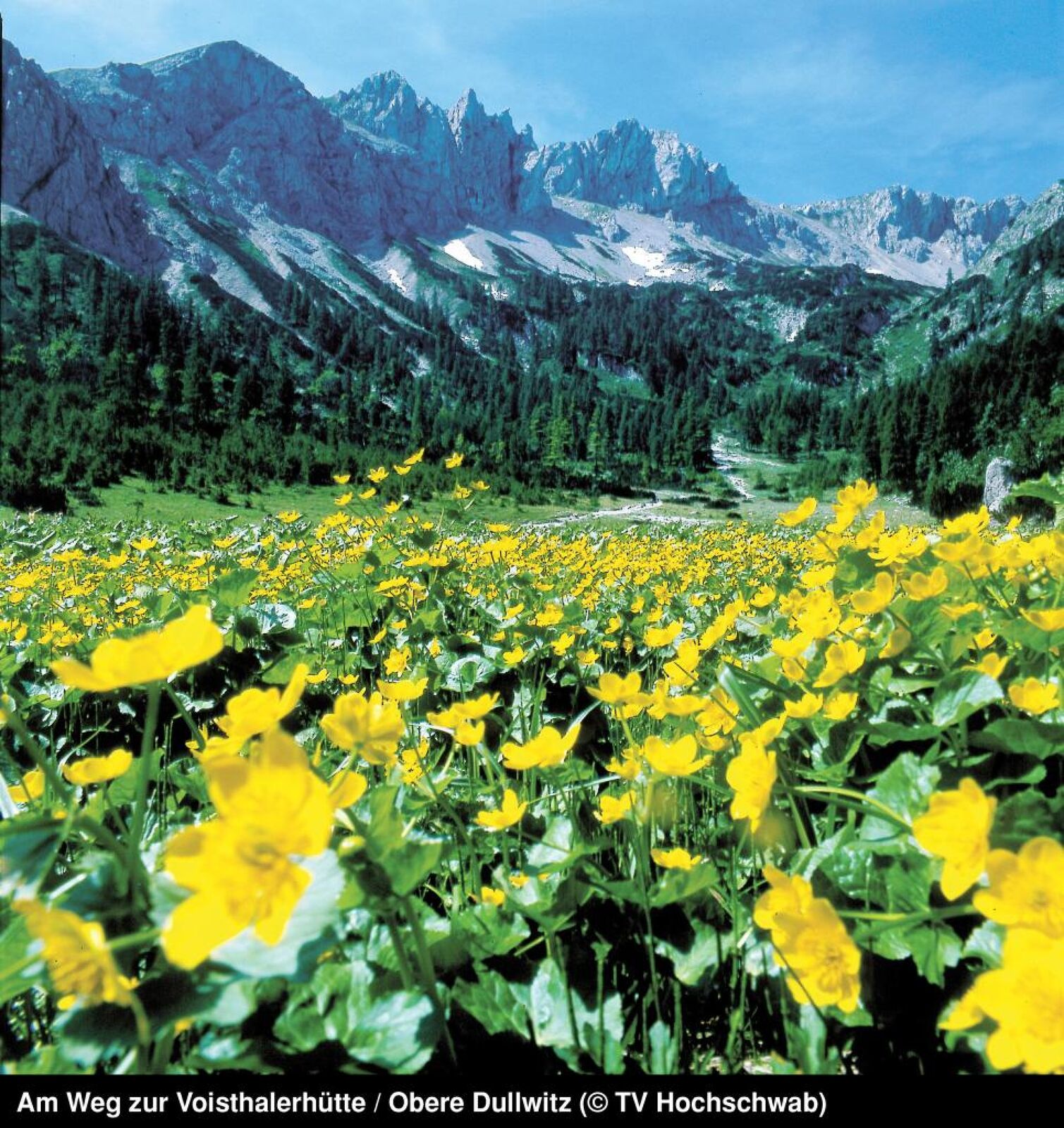
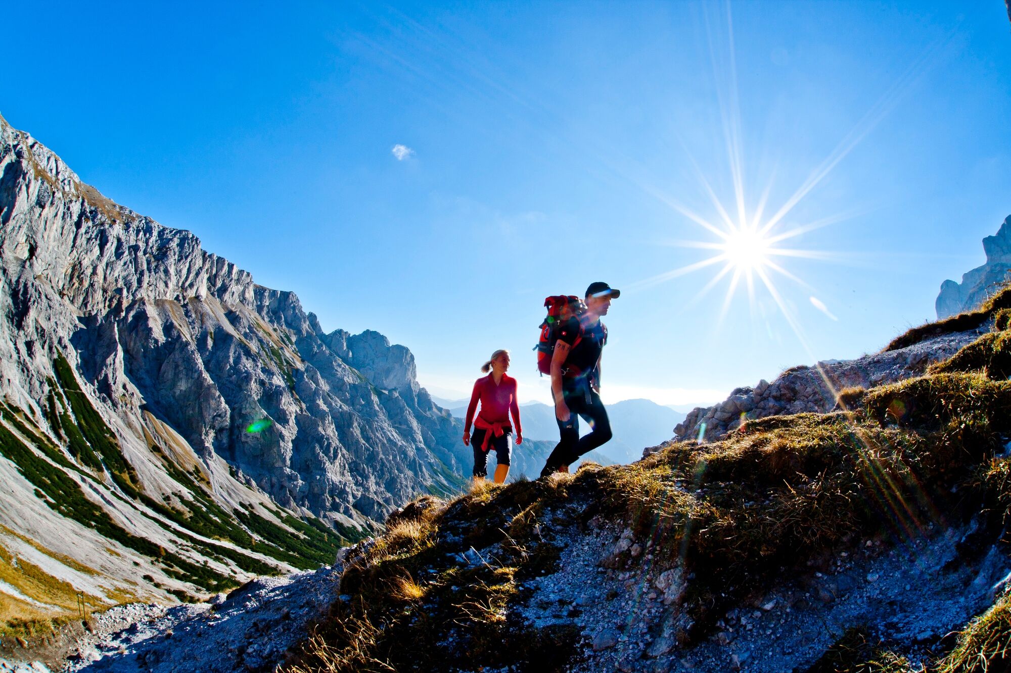
Wonderful Hochschwab motifs await the hiker on this moderately difficult day hike. By the way, the path through the valley of the lake is the most frequented path to the Hochschwab summit.
- Stopień trudności
-
średni
- Ocena
-
- Trasa
-
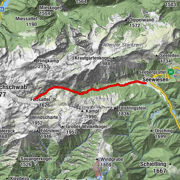
Florlhütte (1.284 m)4,4 kmHöllkampl (1.449 m)5,4 kmVoisthalergasse6,7 km
- Najlepszy sezon
-
stylutmarkwimajczelipsiewrzpaźlisgru
- Najwyższy punkt
- 1.649 m
- Miejsce docelowe
-
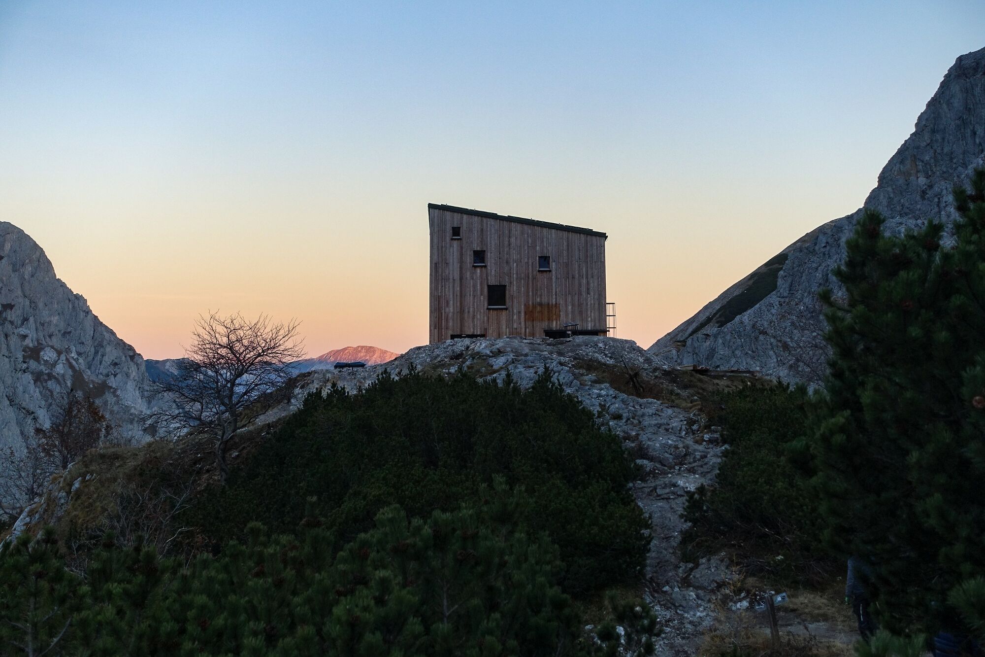
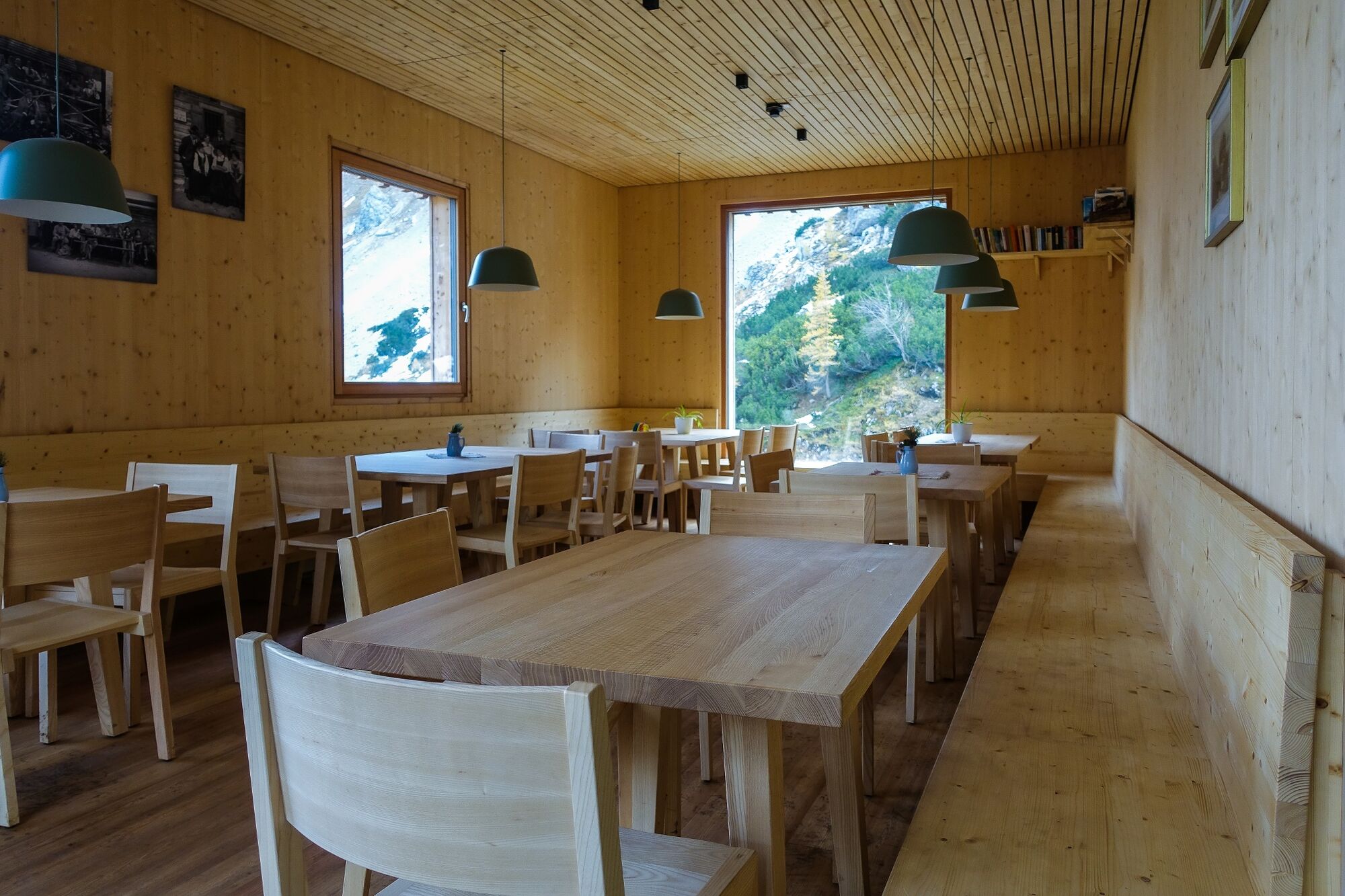
Voisthalerhütte 1654 m
- Profil wysokości
-

- Autor
-
Wycieczka Seewiesen - Voisthalerhütte jest używany przez outdooractive.com pod warunkiem.
GPS Downloads


Informacje ogólne
Przystanek odświeżania
Obiecujący
Więcej wycieczek w regionach