

© Gesäuse - Admont - Dietmar Cupak

© Gesäuse - Admont - Dietmar Cupak

© Gesäuse - Admont - Dietmar Cupak

© Gesäuse - Admont - Dietmar Cupak

© Gesäuse - Admont - Dietmar Cupak

© TV Gesäuse - Tourismusverband Gesäuse

© TV Gesäuse - Tourismusverband Gesäuse

© TV Gesäuse - Tourismusverband Gesäuse

© TV Gesäuse - Tourismusverband Gesäuse

© TV Gesäuse - Wolf

- Krótki opis
-
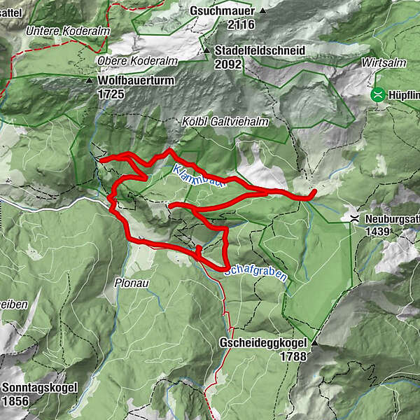
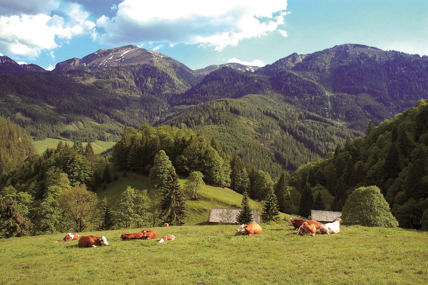
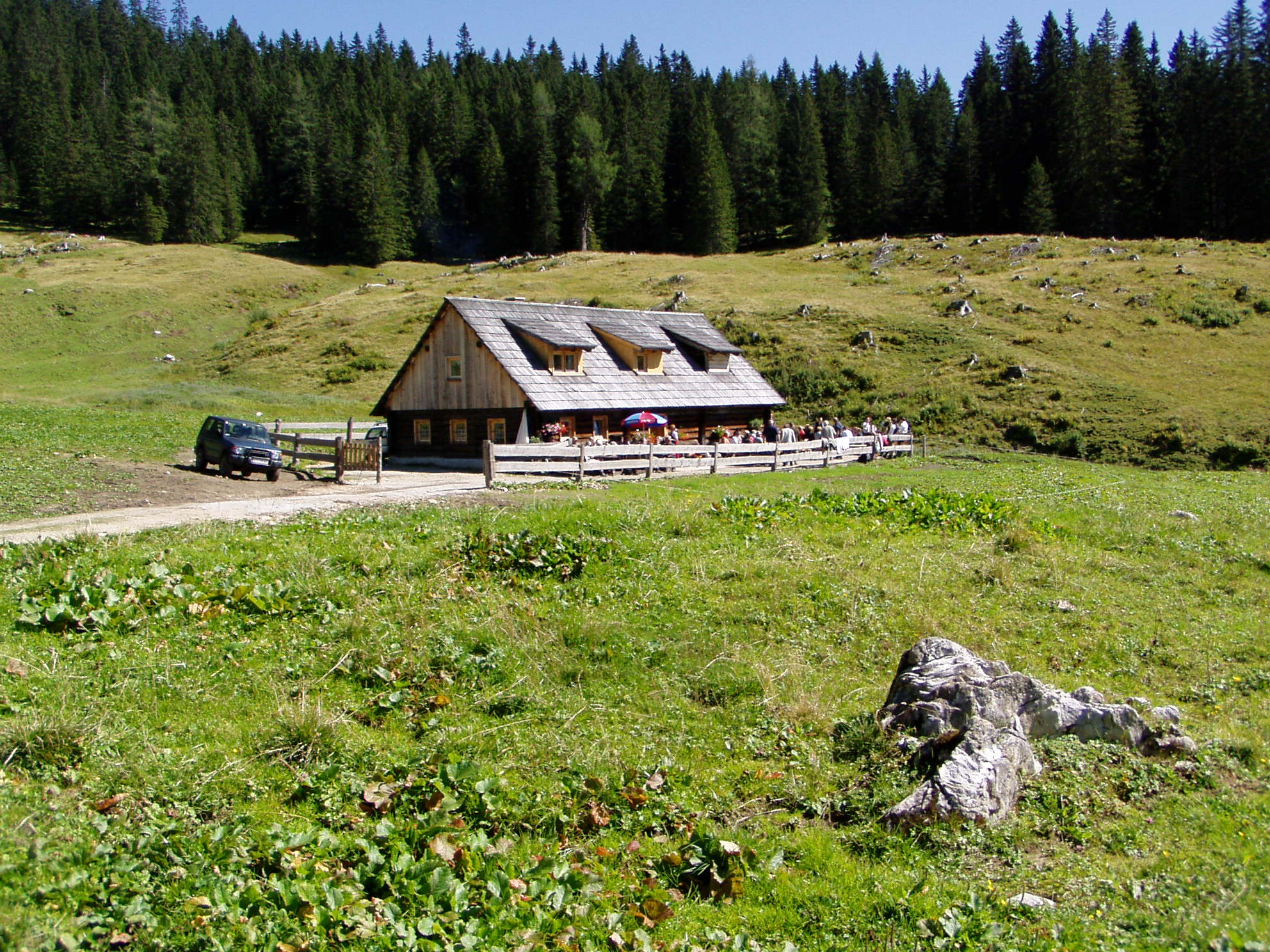
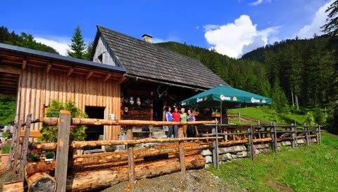
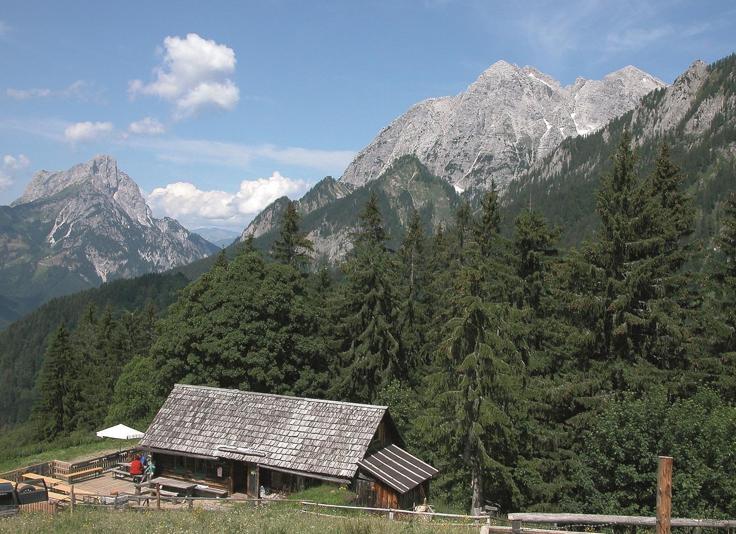
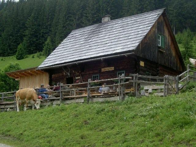
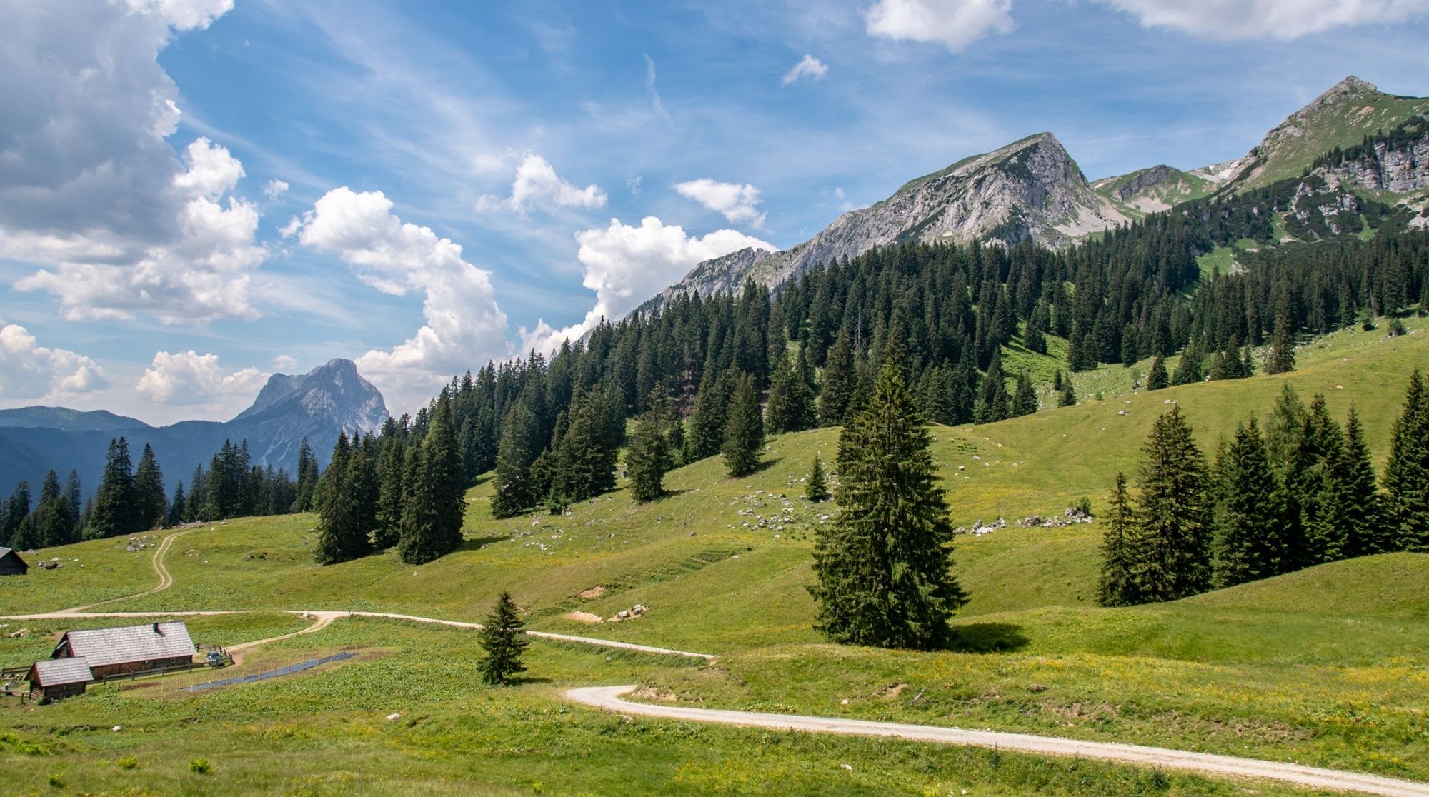
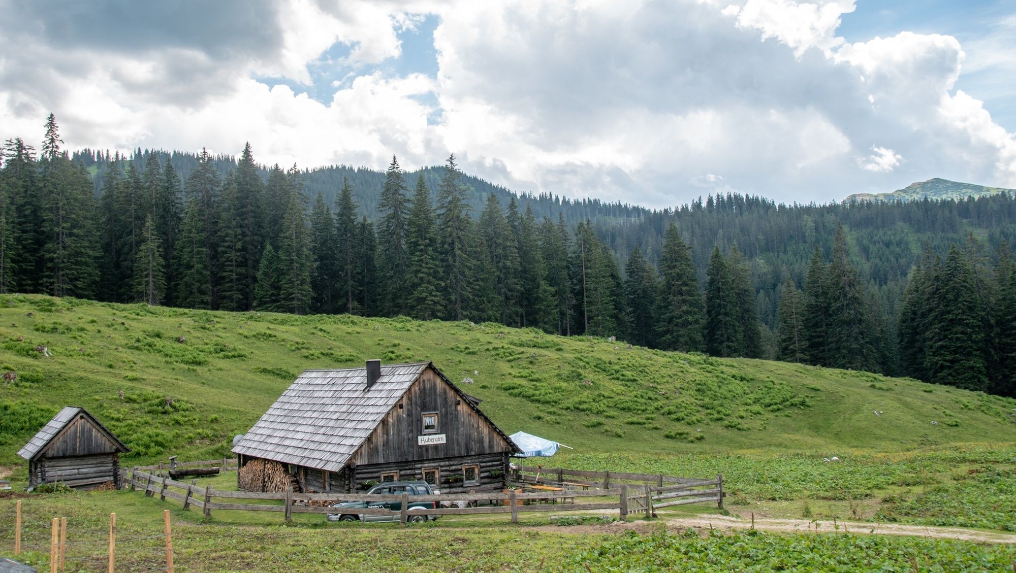
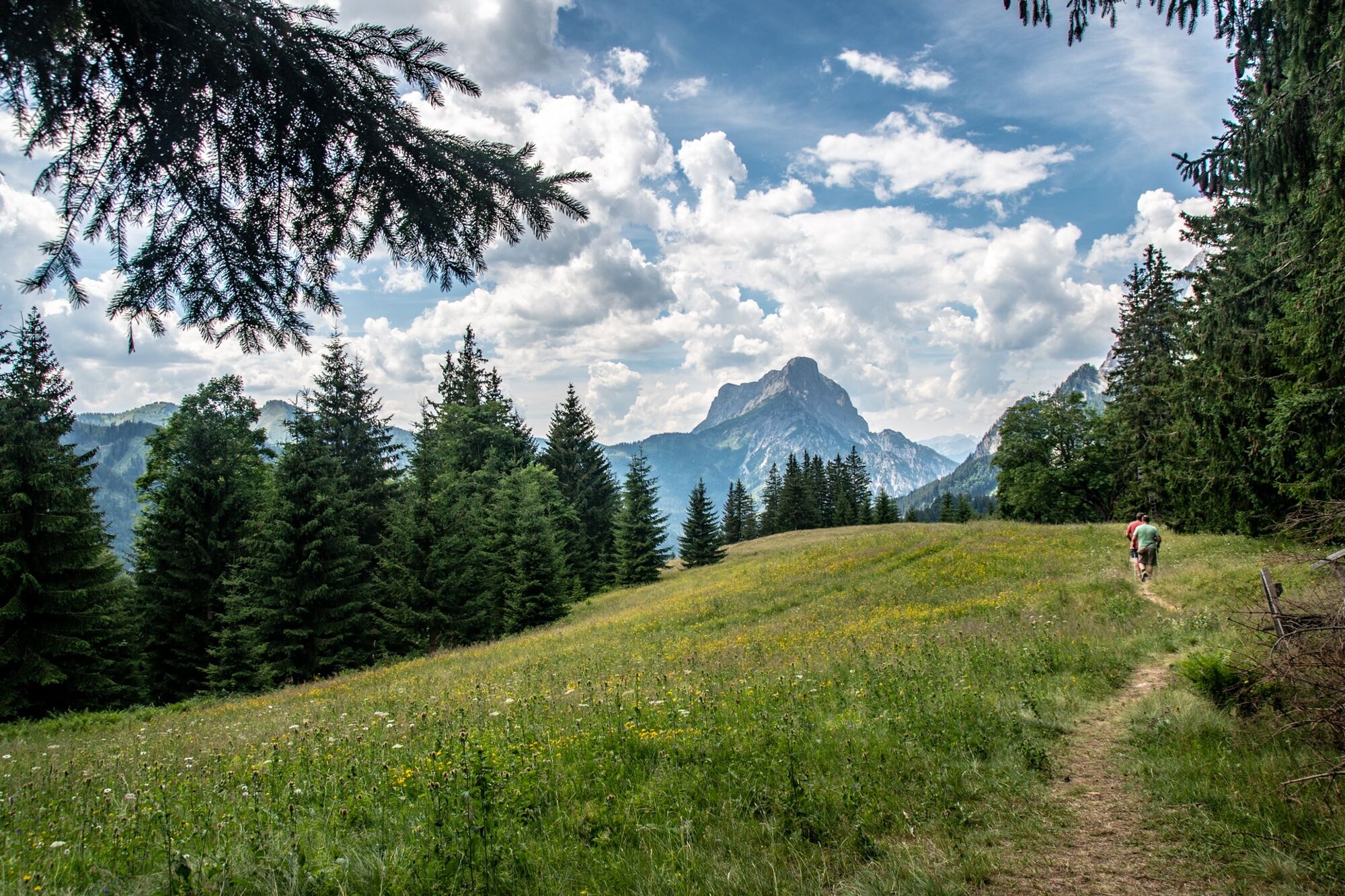
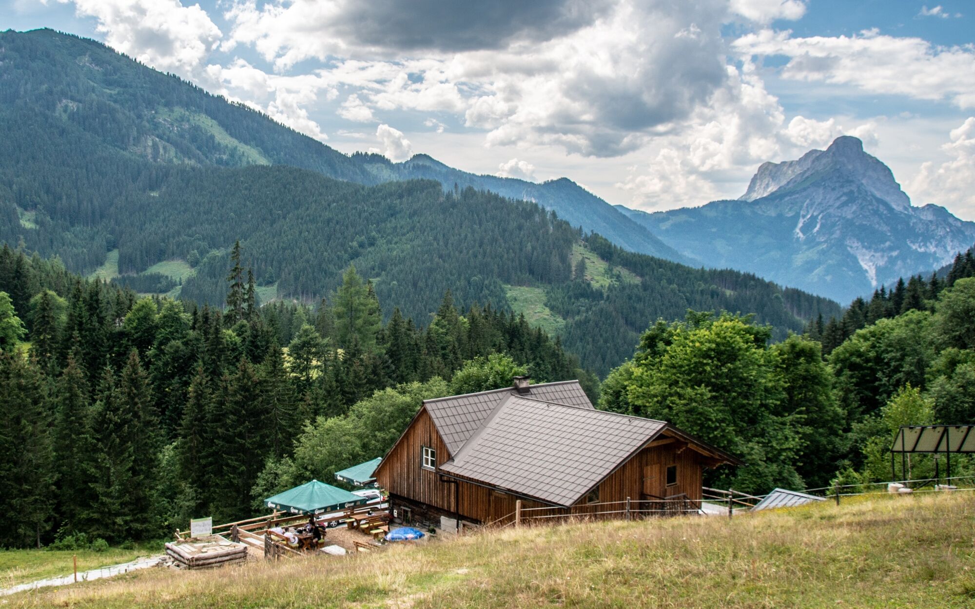
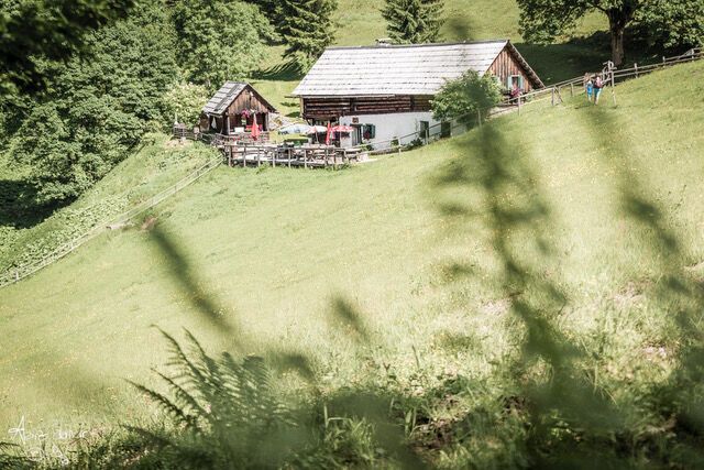
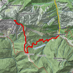
The starting point for a pleasant hike through the alpine pastures for the whole family is at the end of the Johnsbach Valley. The so-called "Johnsbacher Almenrunde" leads over panoramic paths to 4 managed alpine pastures, which can be hiked individually or as a leisurely tour. Part of the route is also passable for mountain bikes. We recommend the following route: Car park Ebneralm - Kölblalm - Huberalm - Ebneralm - Zeiringeralm - car park.
- Stopień trudności
-
łatwe
- Ocena
-
- Trasa
-
Kölblalm - Almhütte1,4 kmZeiringer Alm8,2 km
- Najlepszy sezon
-
stylutmarkwimajczelipsiewrzpaźlisgru
- Najwyższy punkt
- 1.399 m
- Miejsce docelowe
-
Parkplatz Ebnerkreuzung, Johnsbach
- Profil wysokości
-


-

-
AutorWycieczka Johnsbacher Almenrunde jest używany przez outdooractive.com pod warunkiem.
GPS Downloads


Informacje ogólne
Przystanek odświeżania
Flora
Obiecujący
Więcej wycieczek w regionach
-
Gesäuse
2224
-
Wald am Schoberpass
273


 & Kaiserschild (rechts)")


