© Erlebnisregion Schladming-Dachstein - Christoph Lukas

© Fotograf: Volkhard Maier - Schladming Dachstein

© Erlebnisregion Schladming-Dachstein - Christoph Lukas

© Fotograf: Volkhard Maier - Schladming Dachstein

© Fotograf: Volkhard Maier - Schladming Dachstein

© Gerhard Pilz

© Erlebnisregion Schladming-Dachstein - Christoph Lukas

© Fotograf: Volkhard Maier - Schladming Dachstein

© Erlebnisregion Schladming-Dachstein - Christoph Lukas

© Fotograf: Volkhard Maier - Schladming Dachstein

- Krótki opis
-
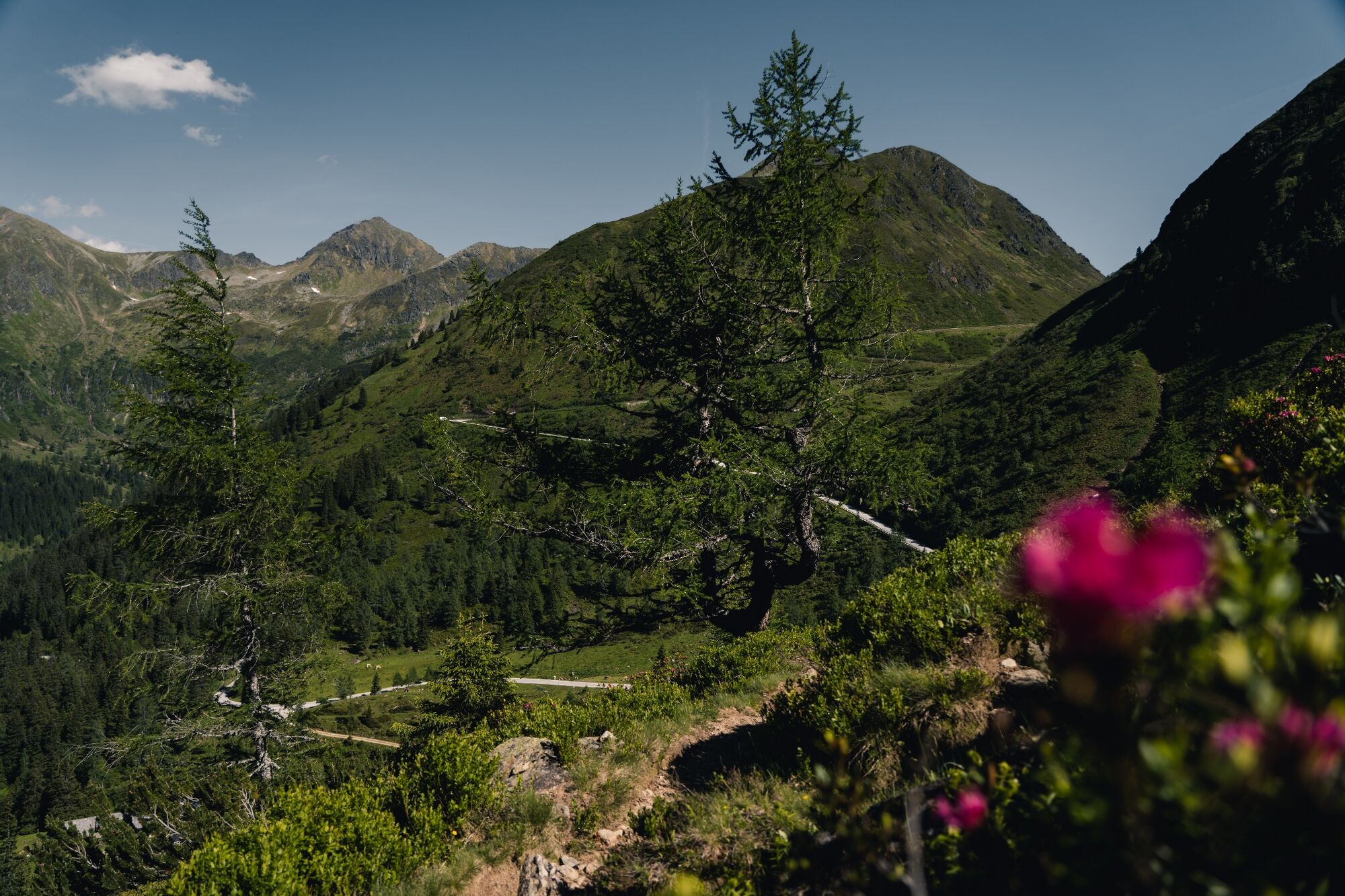
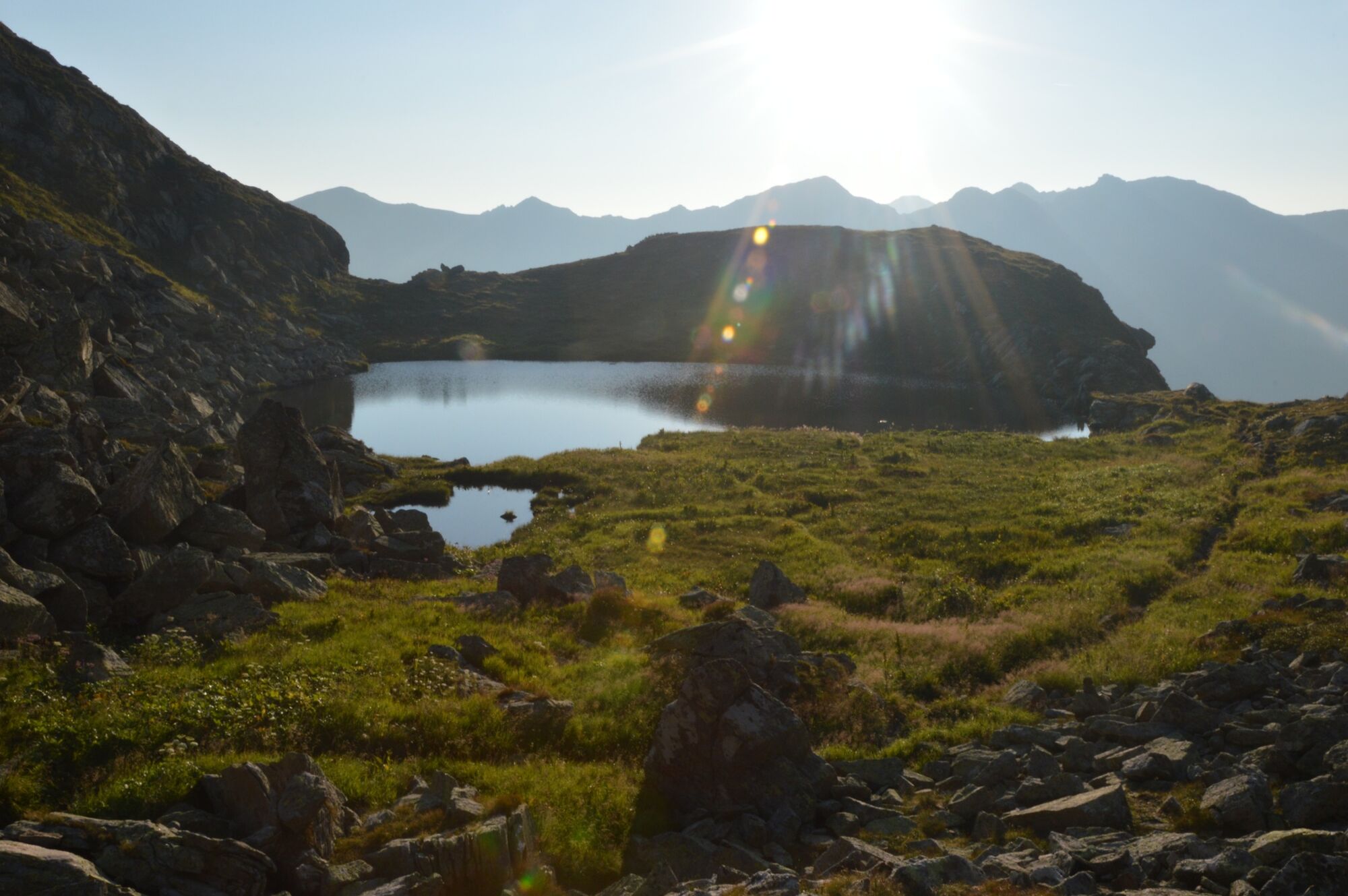
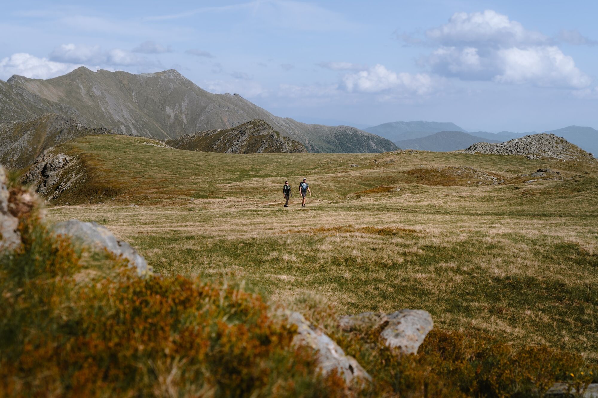
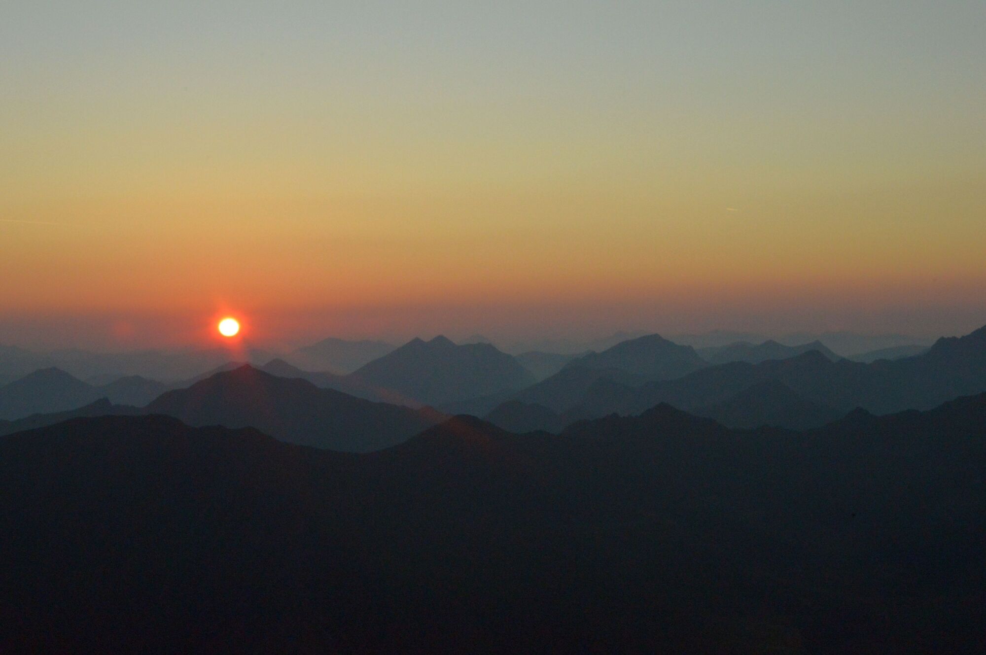
Steep paths, beautiful lakes and a full-blooded peak – intermediate-level alpine tours don’t get any more fun than this.
- Stopień trudności
-
średni
- Ocena
-
- Trasa
-
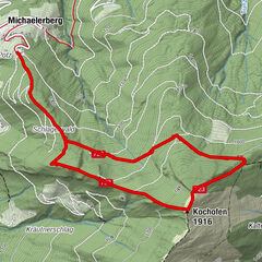
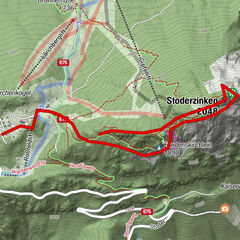
Schafspitze (2.310 m)3,1 kmDeneck (2.433 m)3,7 km
- Najlepszy sezon
-
stylutmarkwimajczelipsiewrzpaźlisgru
- Najwyższy punkt
- 2.418 m
- Miejsce docelowe
-
Deneck
- Profil wysokości
-


- Autor
-
Wycieczka Via the Kaltenbachseen to the Deneck jest używany przez outdooractive.com pod warunkiem.
GPS Downloads


Informacje ogólne
Przystanek odświeżania
Flora
Fauna
Obiecujący
Więcej wycieczek w regionach