

© Gerhard Pilz - www.gpic.at - Gerhard Pilz

© Gerhard Pilz

© Erlebnisregion Schladming-Dachstein - Astrid Perner


© Gerhard Pilz - www.gpic.at - Gerhard Pilz

© Gerhard Pilz - www.gpic.at - Gerhard Pilz

© Gerhard Pilz - www.gpic.at - Gerhard Pilz

© Gerhard Pilz - www.gpic.at - Gerhard Pilz

© Gerhard Pilz

© Gerhard Pilz - www.gpic.at - Gerhard Pilz
- Krótki opis
-
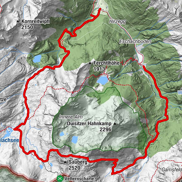
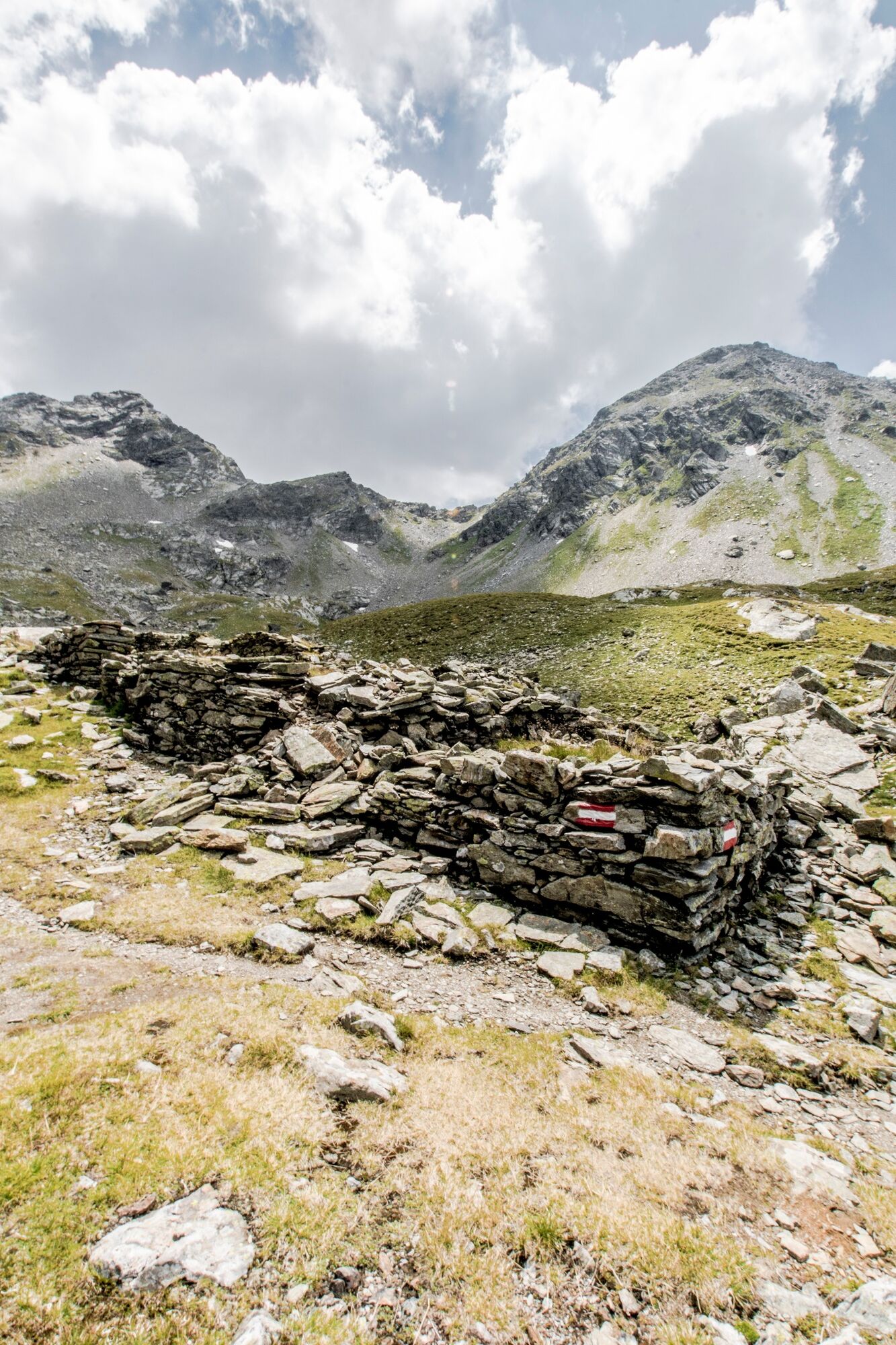
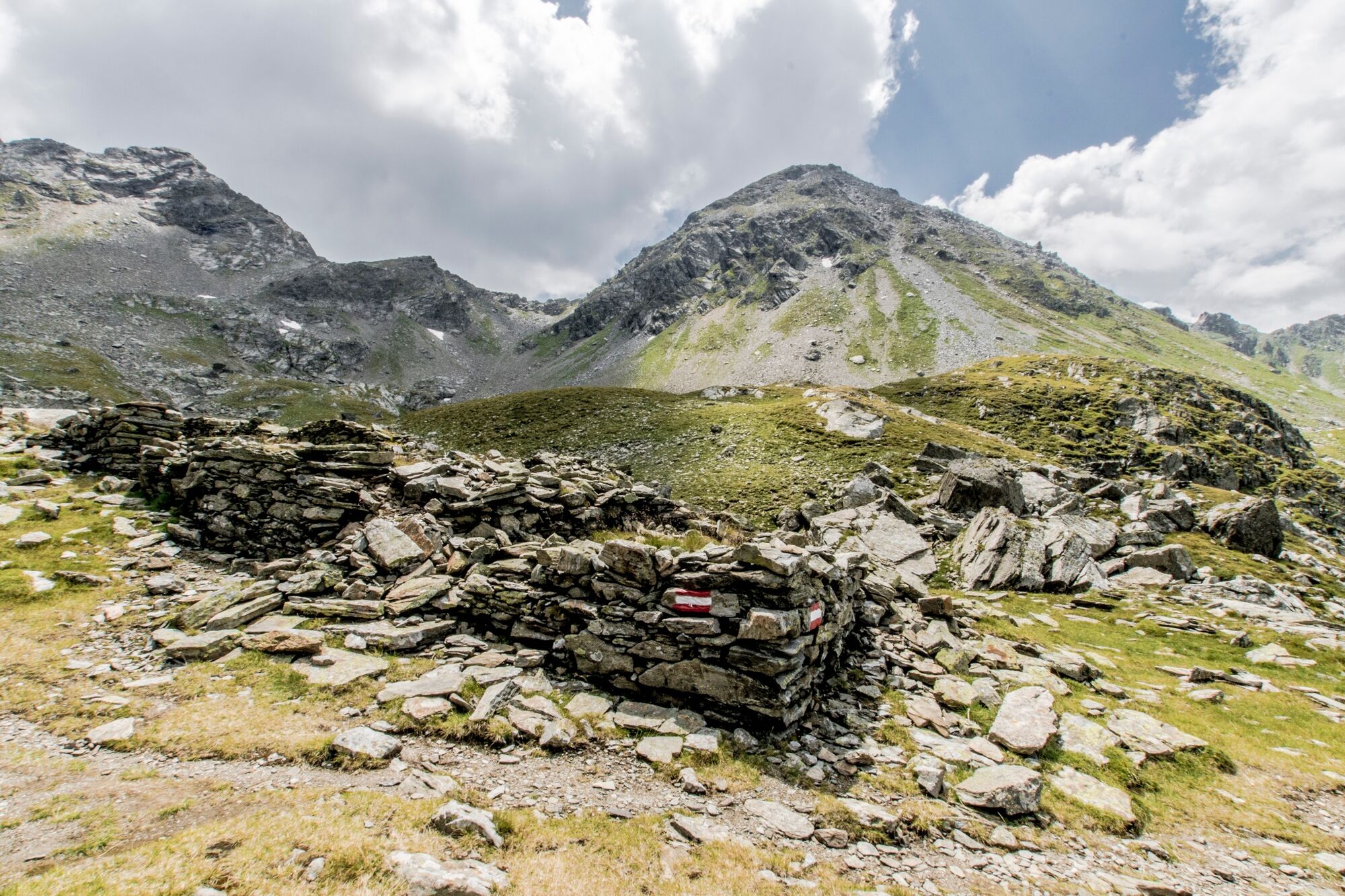
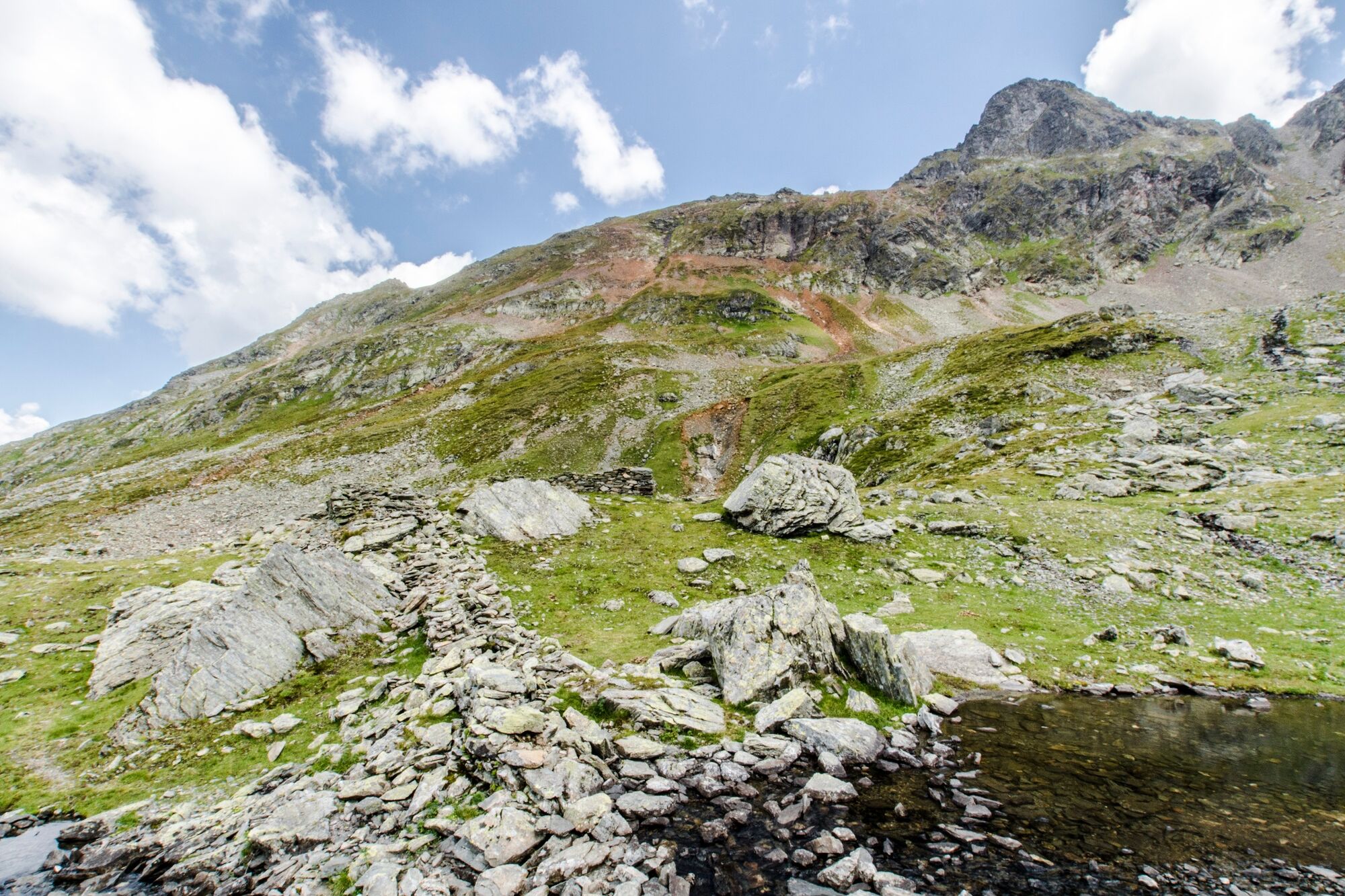
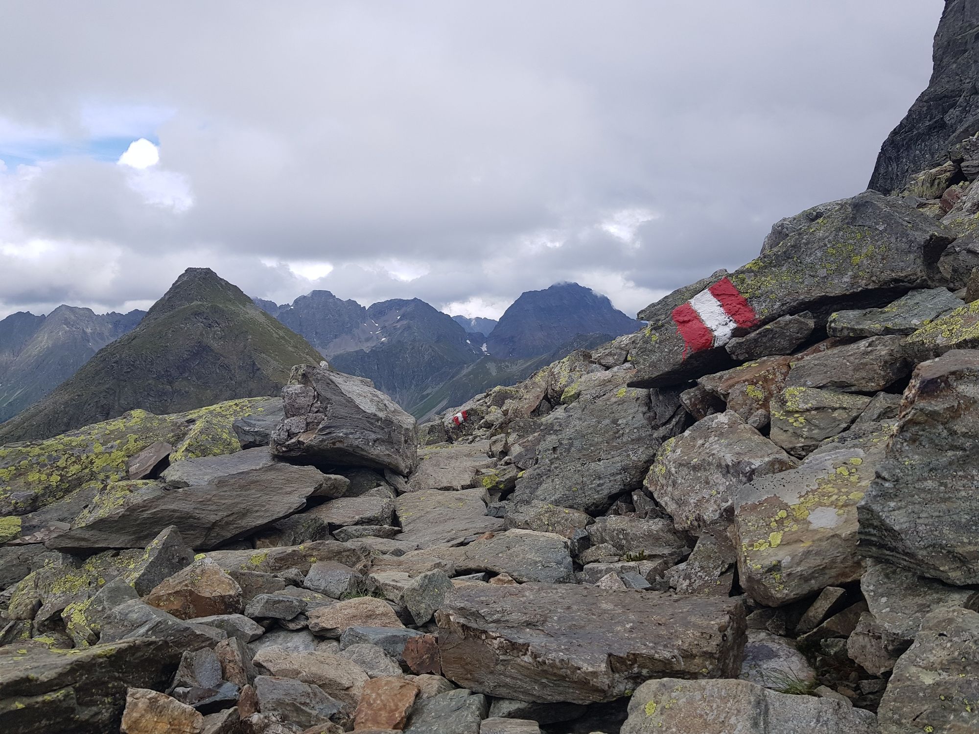
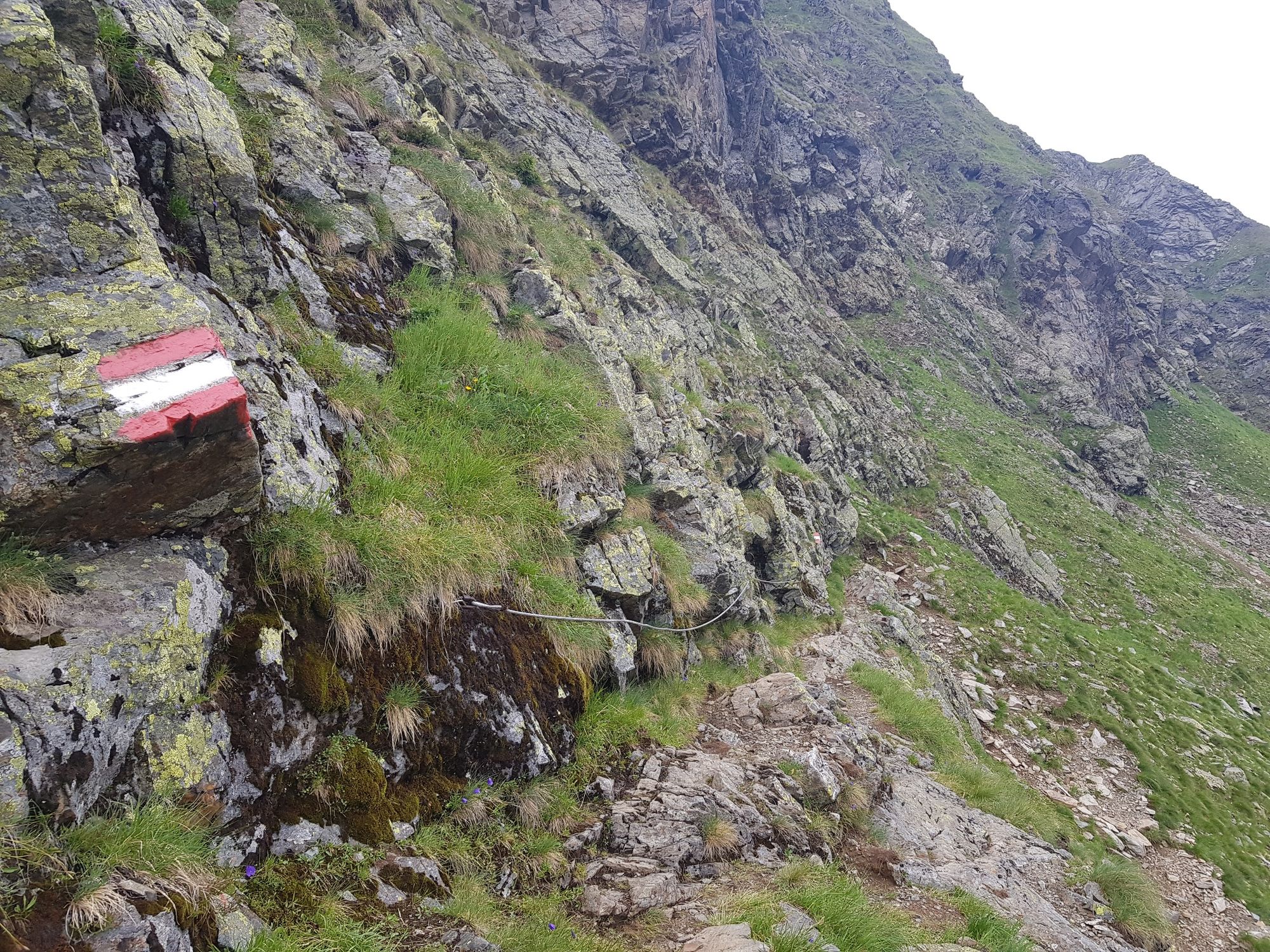
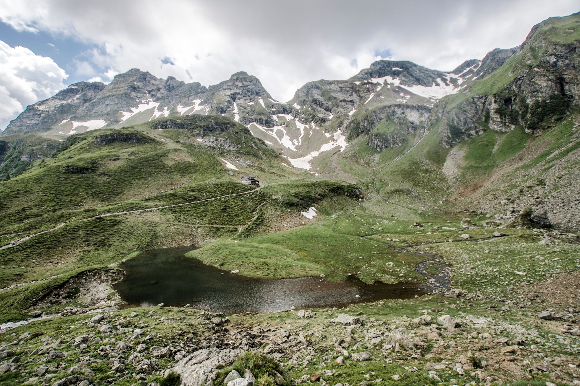
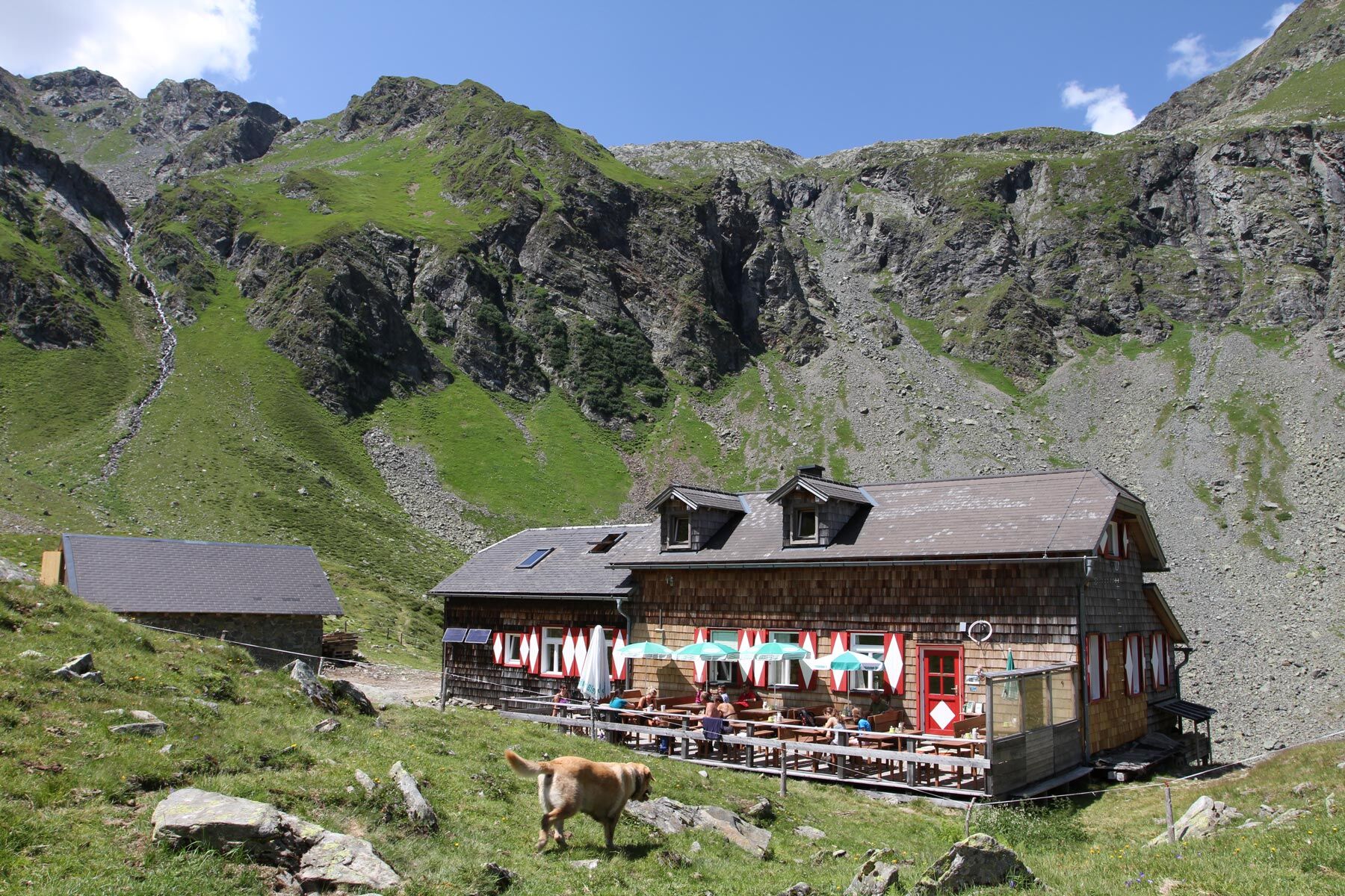
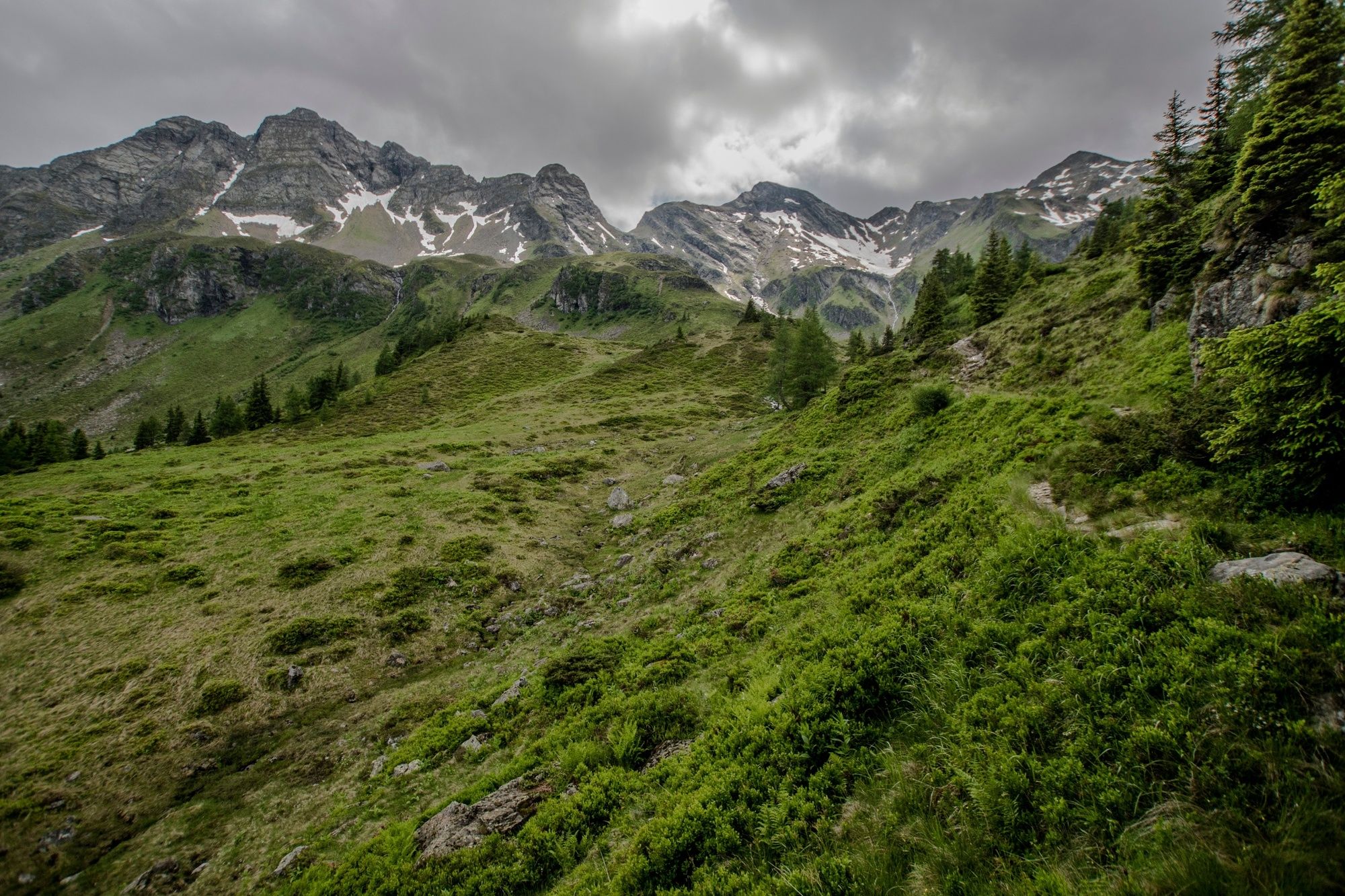
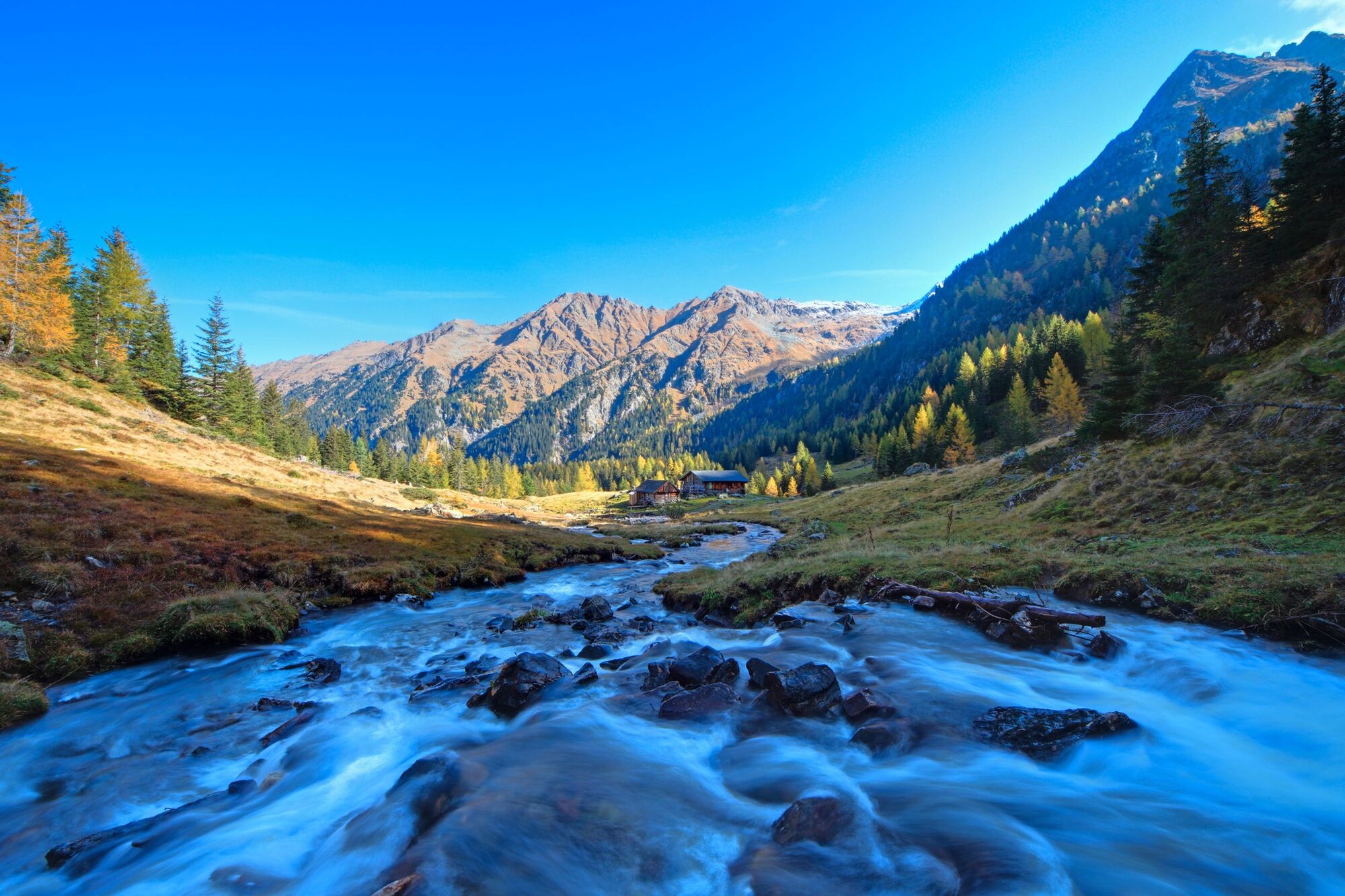
Summit tour to "Rotmandl" in Obertal valley with medium difficulty - physical endurance required! The route runs along the trails of the historic mining district in Obertal valley.
- Stopień trudności
-
ciężkie
- Ocena
-
- Trasa
-
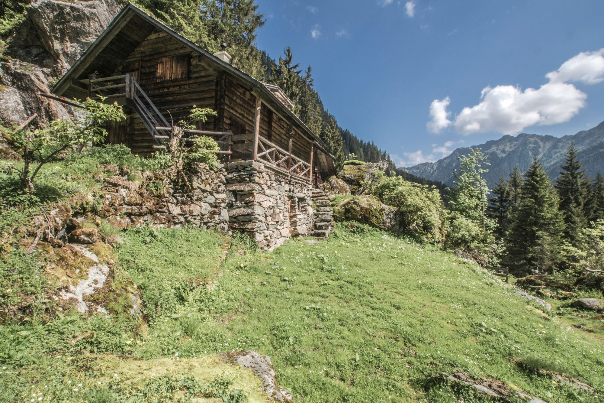
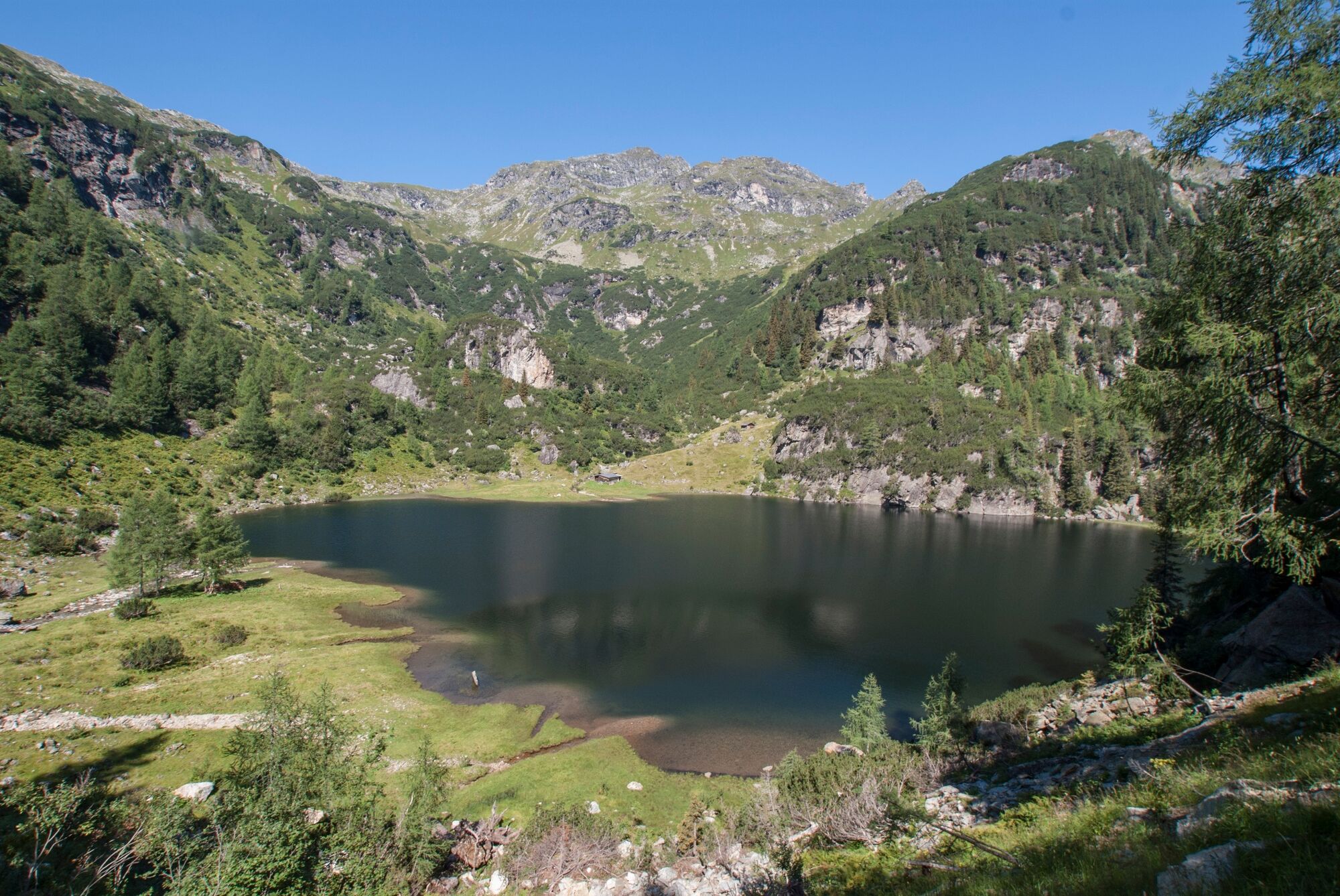
Rotmandlspitze (2.453 m)8,7 kmKeinprechthütte (1.872 m)11,1 kmEschachhüttn (1.213 m)15,8 km
- Najlepszy sezon
-
stylutmarkwimajczelipsiewrzpaźlisgru
- Najwyższy punkt
- 2.440 m
- Miejsce docelowe
-
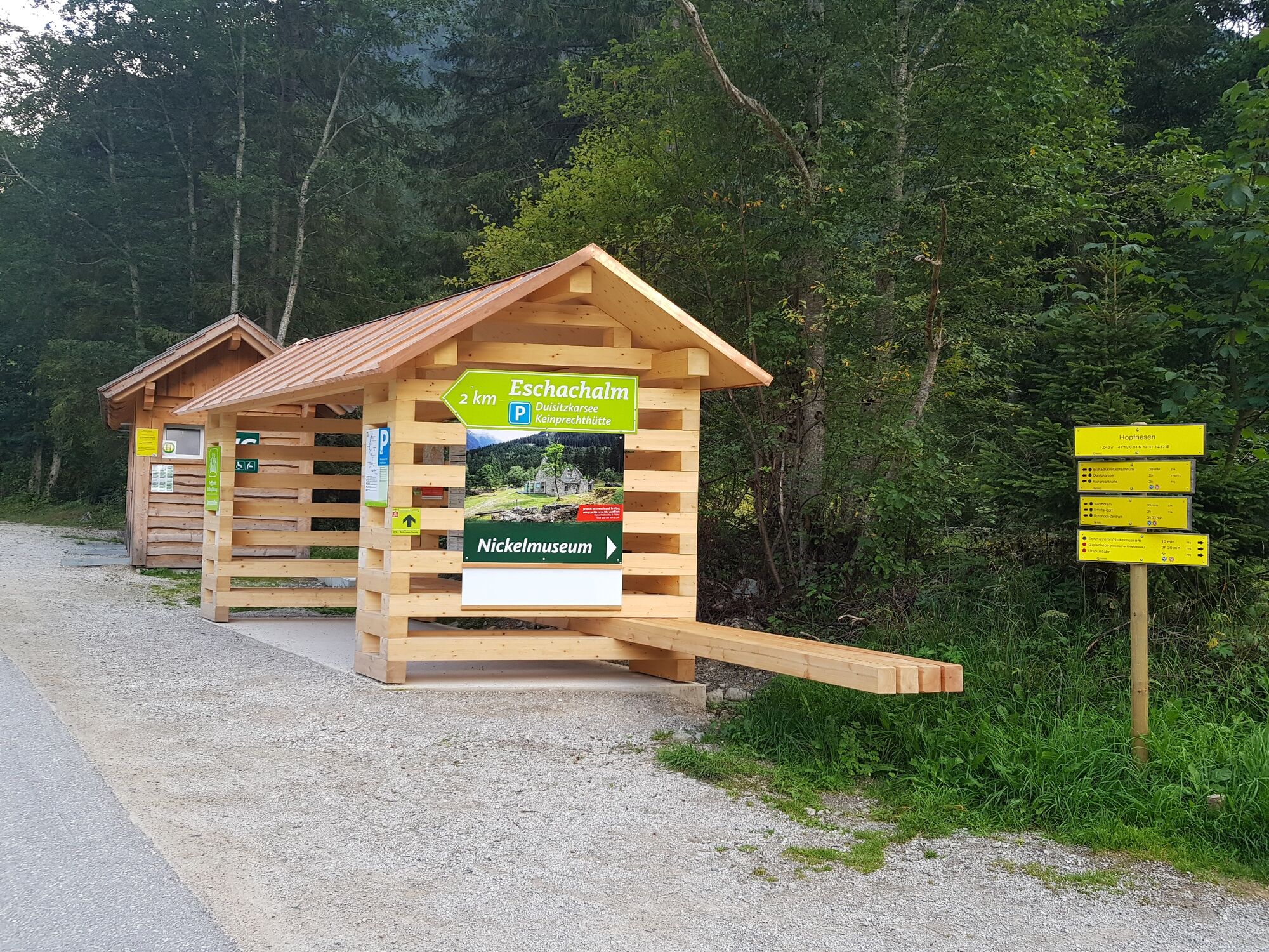
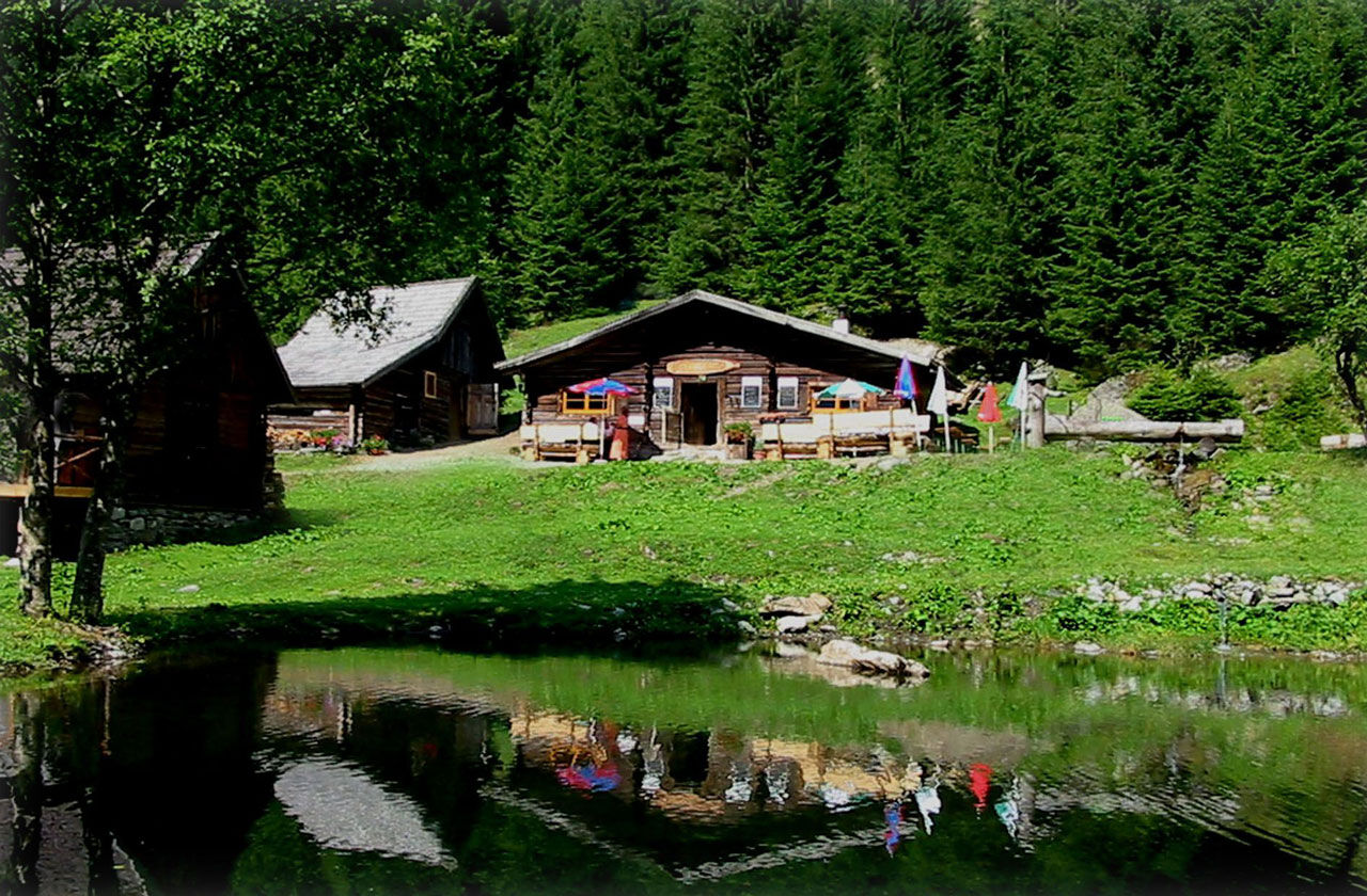
Hiking trail head Eschachalm, Obertal
- Profil wysokości
-


-

-
AutorWycieczka Rotmandlspitze: auf den Spuren der Bergknappen jest używany przez outdooractive.com pod warunkiem.
GPS Downloads


Informacje ogólne
Przystanek odświeżania
Kulturalny/Historyczny
Obiecujący
Więcej wycieczek w regionach
-
Schladming - Dachstein
3001
-
Schladming - Rohrmoos
1478
-
Rohrmoos
520


