

© TV Gesäuse - Tourismusverband Gesäuse

© TV Gesäuse - Tourismusverband Gesäuse

© TV Gesäuse - Tourismusverband Gesäuse

© TV Gesäuse - Tourismusverband Gesäuse

© TV Gesäuse - Tourismusverband Gesäuse

© TV Gesäuse - Tourismusverband Gesäuse

© TV Gesäuse - Tourismusverband Gesäuse

© TV Gesäuse - Tourismusverband Gesäuse

© TV Gesäuse - Tourismusverband Gesäuse

© TV Gesäuse - Tourismusverband Gesäuse


- Krótki opis
-
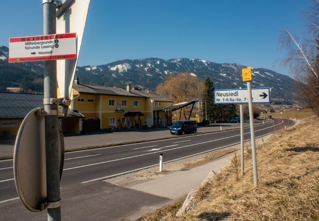
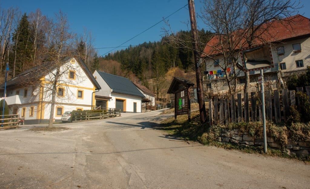
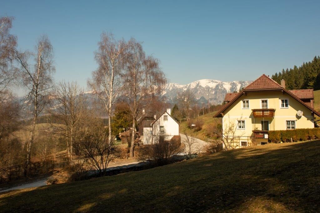
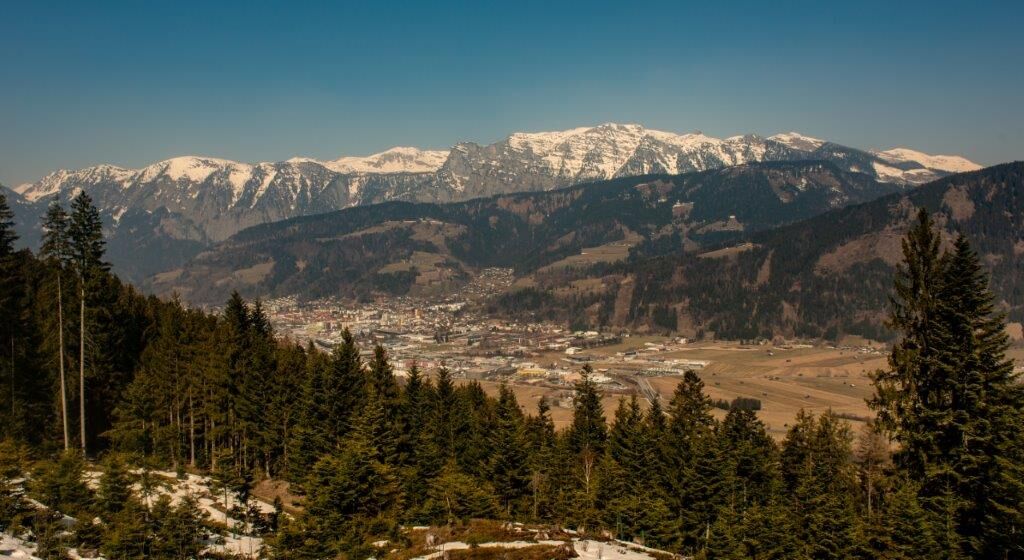
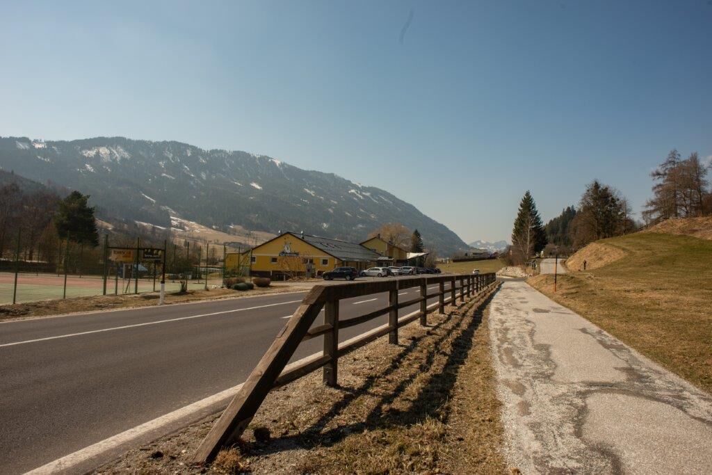
The Lassing high valley is nestled between the Styrian Enns Valley and the Palten Valley. In summer, the village invites you to go on beautiful hikes as well as mountain and bicycle tours.
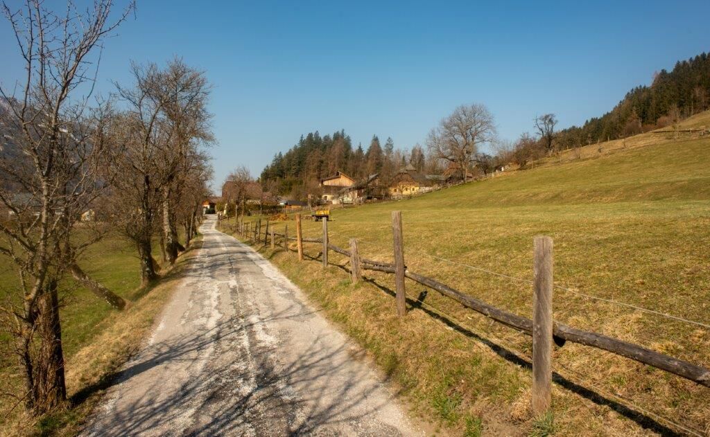
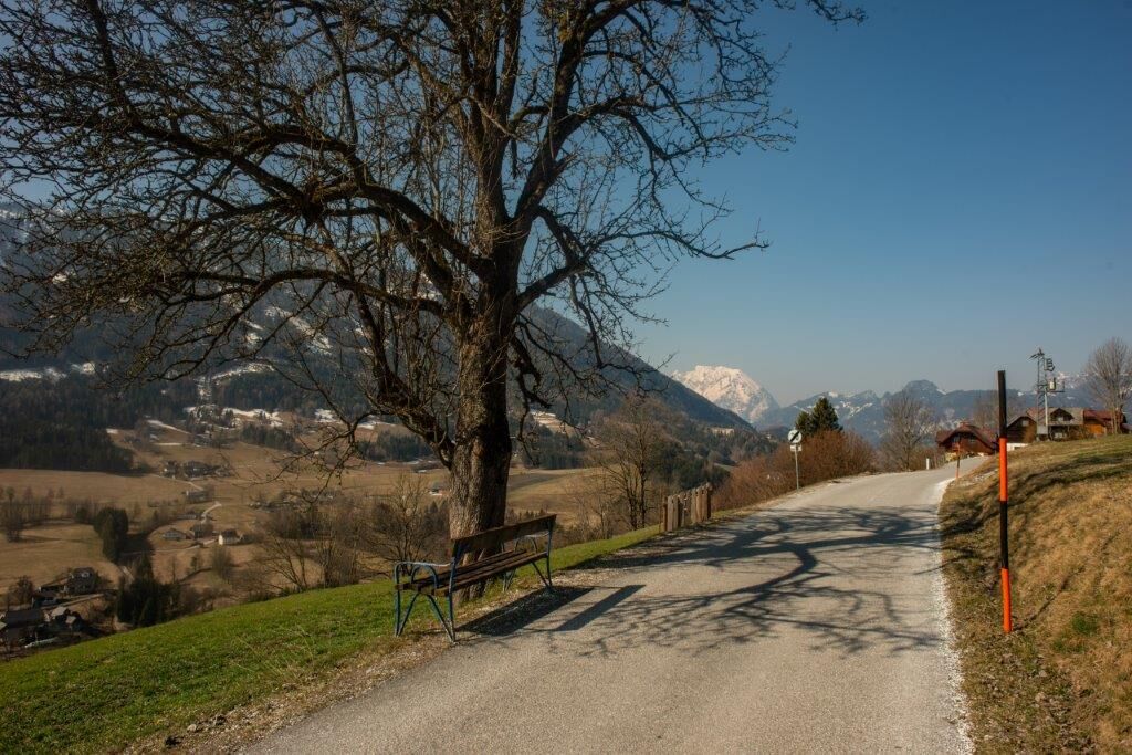
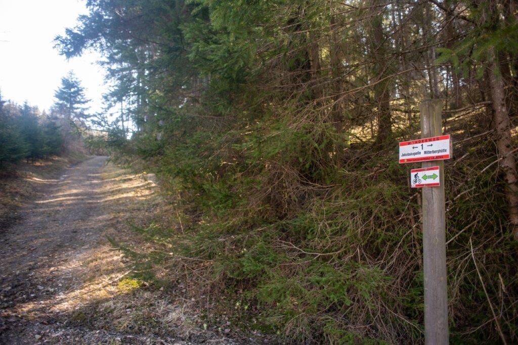
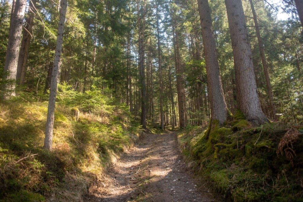
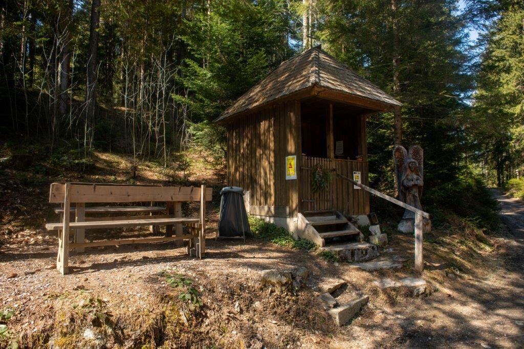
The Mitterbergrunde leads mostly on quiet forest paths around the Mitterberg. It runs mostly through woodland with wonderful views.
- Stopień trudności
-
średni
- Ocena
-
- Trasa
-
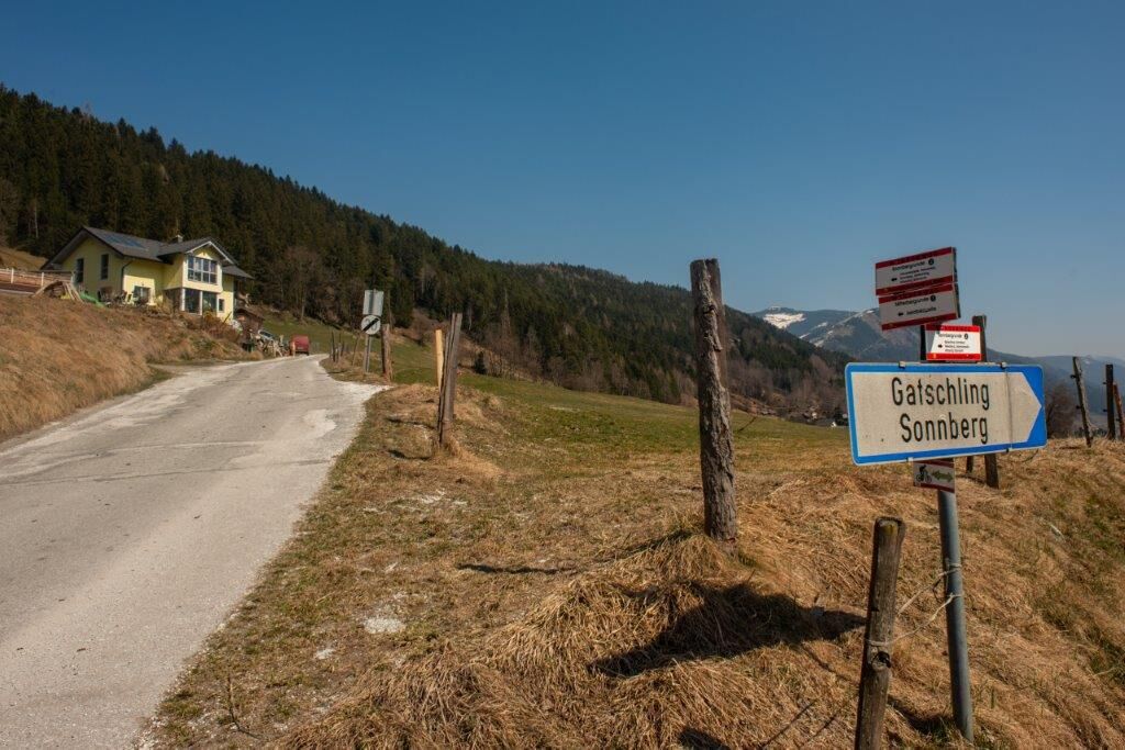
Seerestaurant Lassing0,1 kmNeusiedl0,7 kmJakobskapelle6,8 kmAltlassing8,7 kmSeerestaurant Lassing9,6 km
- Najlepszy sezon
-
stylutmarkwimajczelipsiewrzpaźlisgru
- Najwyższy punkt
- 988 m
- Miejsce docelowe
-
Badesee Lassing
- Profil wysokości
-


-

-
AutorWycieczka Mitterbergrunde - Lassing jest używany przez outdooractive.com pod warunkiem.
GPS Downloads


Informacje ogólne
Przystanek odświeżania
Więcej wycieczek w regionach
-
Gesäuse
2225
-
Grimming - Donnersbachtal
976
-
Lassing
220


")


