© Marktgemeinde Thörl - Karl Mühlhauser

© Marktgemeinde Thörl - Karl Mühlhauser

© Marktgemeinde Thörl - Karl Mühlhauser

© Marktgemeinde Thörl - Karl Mühlhauser

- Krótki opis
-
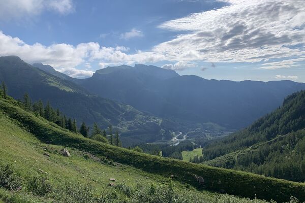
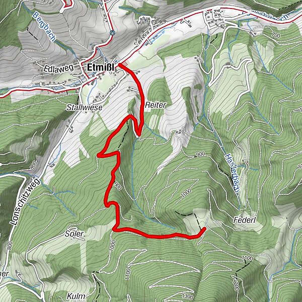
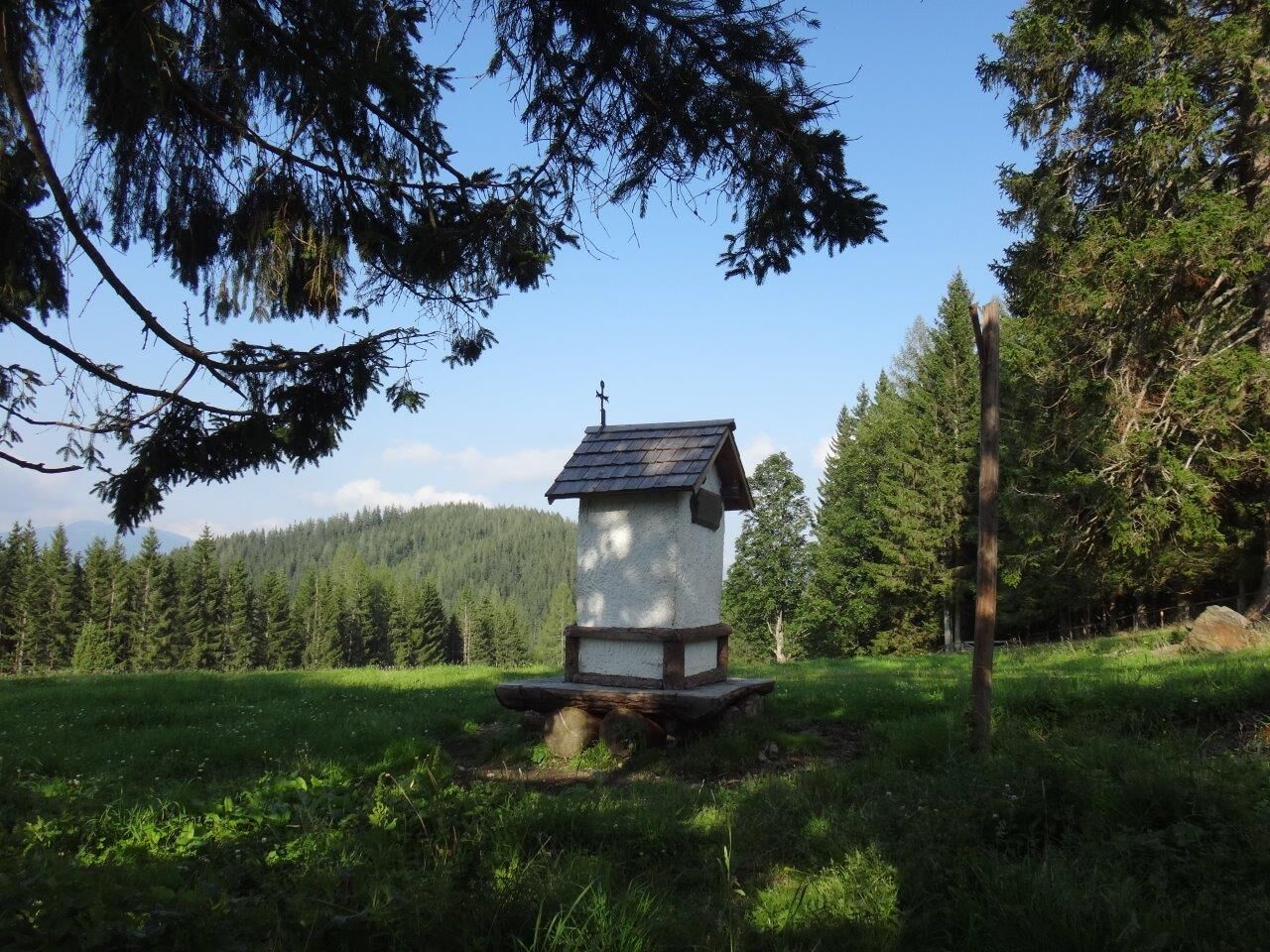
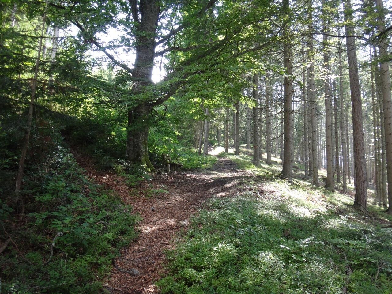
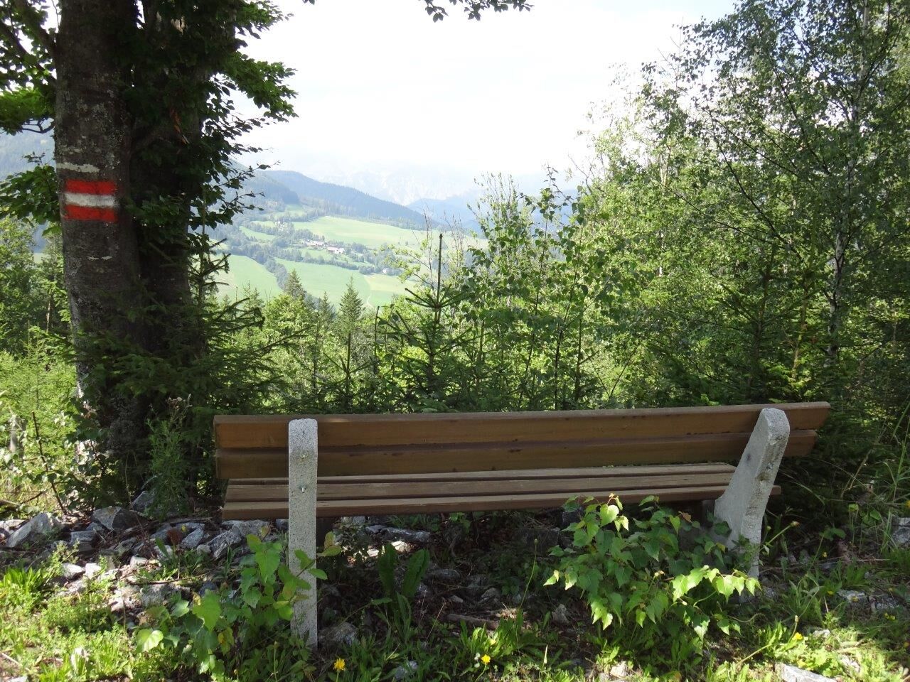
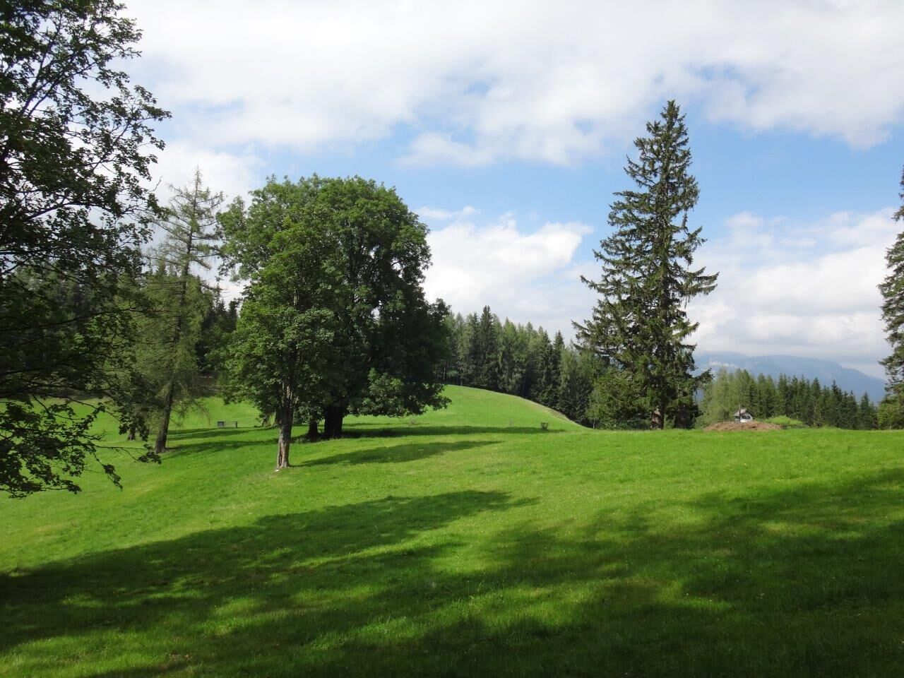
This comfortable hiking trail leads us from narrow forest to the wide open alpine meadows on the Federleben at 1055 m above sea level.
- Stopień trudności
-
łatwe
- Ocena
-
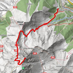
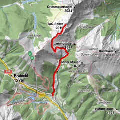
- Trasa
-
Etmißl
- Najlepszy sezon
-
stylutmarkwimajczelipsiewrzpaźlisgru
- Najwyższy punkt
- 1.049 m
- Miejsce docelowe
-
Beim Tennisplatz in der Ortsmitte von Etmißl
- Profil wysokości
-

- Autor
-
Wycieczka From Etmißl to the Federleben jest używany przez outdooractive.com pod warunkiem.
GPS Downloads


Informacje ogólne
Obiecujący
Więcej wycieczek w regionach