© Weges OG

© Weges OG

© Weges OG

© Weges OG

© Weges OG

© Weges OG

© Weges OG

© Weges OG

© Weges OG

© Weges OG


- Krótki opis
-
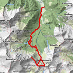
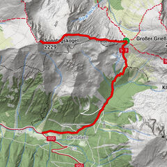
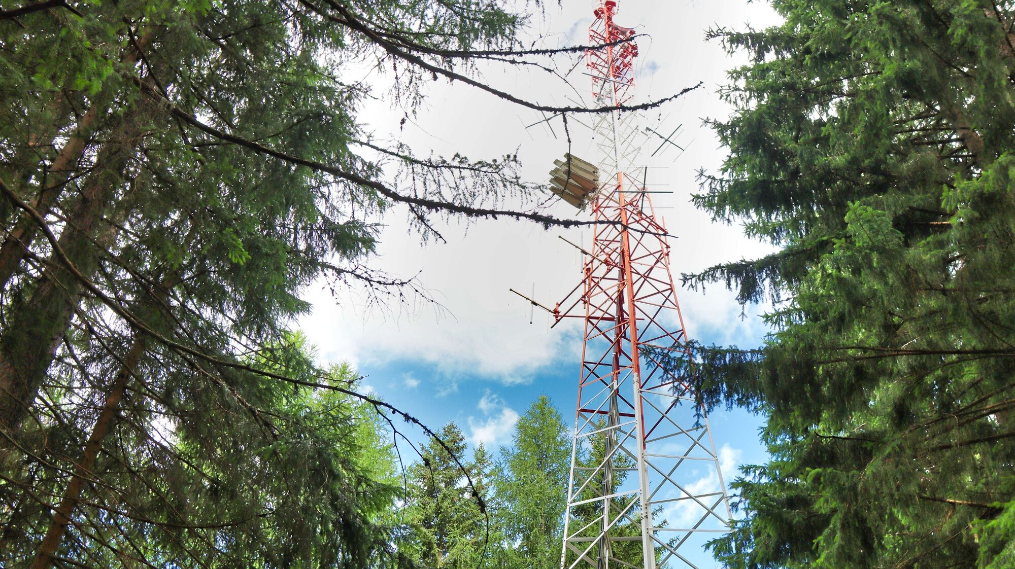
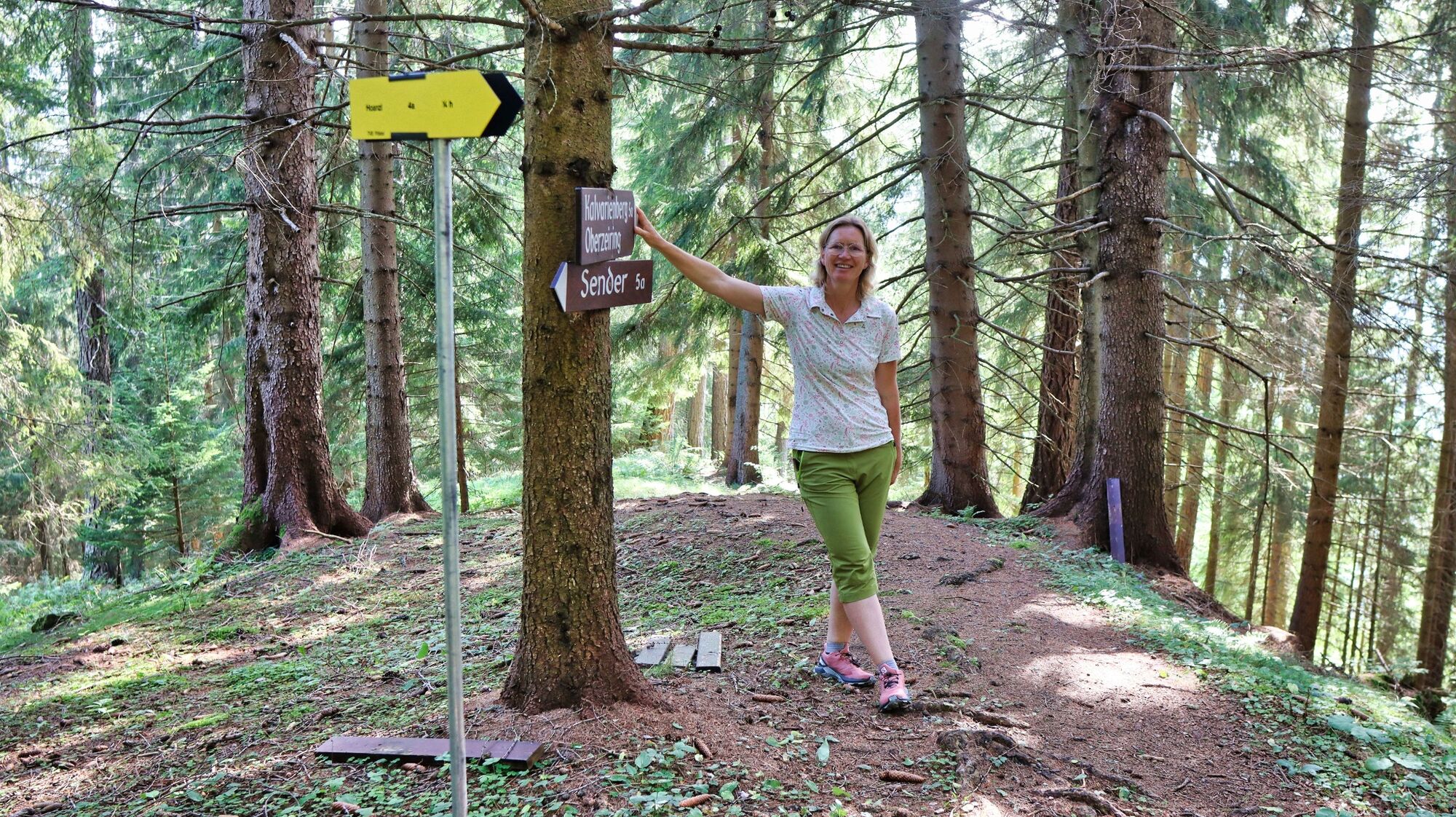
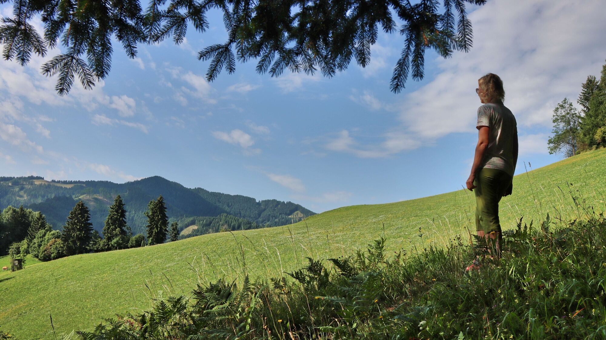
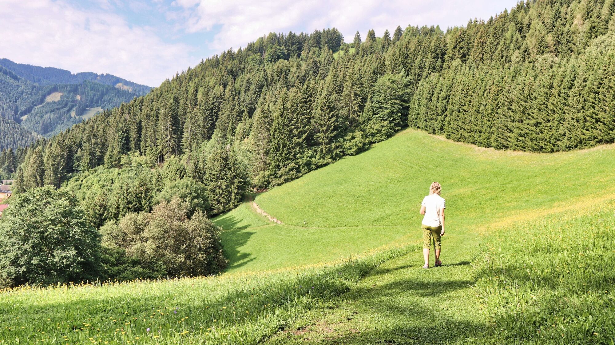
A circular hike with forest and meadow character to the highest point of the mountain ridge in the north of Oberzeiring, to the transmitter, and via the Kalvarienberg church back to Oberzeiring.
- Stopień trudności
-
łatwe
- Ocena
-
- Trasa
-
OberzeiringPfarrkirche St. NikolausGasthaus Zum Grüner Specht0,0 kmKalvarienbergkirche4,7 kmPfarrkirche St. Nikolaus6,0 kmOberzeiring6,0 kmGasthaus Zum Grüner Specht6,0 km
- Najlepszy sezon
-
stylutmarkwimajczelipsiewrzpaźlisgru
- Najwyższy punkt
- 1.260 m
- Miejsce docelowe
-
Center of Oberzeiring
- Profil wysokości
-


- Autor
-
Wycieczka Oberzeiring - circular hike to the transmitter jest używany przez outdooractive.com pod warunkiem.
GPS Downloads


Informacje ogólne
Obiecujący
Więcej wycieczek w regionach