

© TV Gesäuse - Tourismusverband Gesäuse

© TV Gesäuse - Tourismusverband Gesäuse

© TV Gesäuse - Tourismusverband Gesäuse

© TV Gesäuse - Tourismusverband Gesäuse

© TV Gesäuse - Tourismusverband Gesäuse

© TV Gesäuse - Tourismusverband Gesäuse

© TV Gesäuse - Tourismusverband Gesäuse

© TV Gesäuse - Tourismusverband Gesäuse

© TV Gesäuse - Tourismusverband Gesäuse

© TV Gesäuse - Tourismusverband Gesäuse

- Krótki opis
-
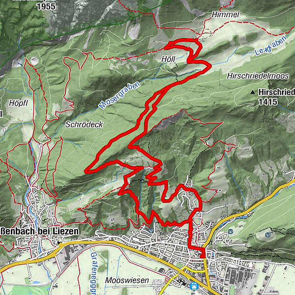
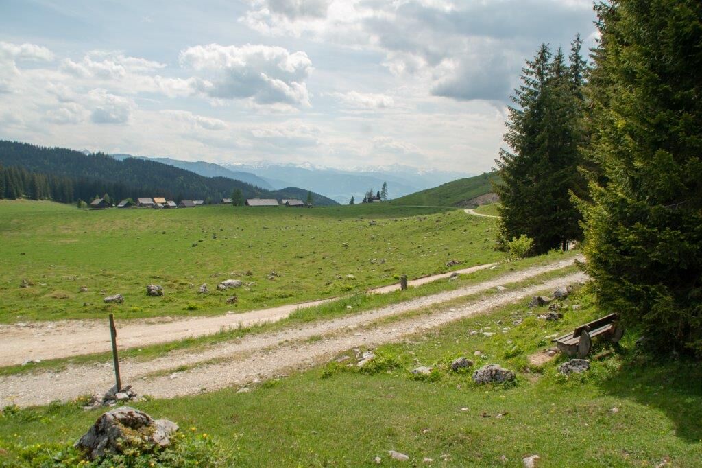
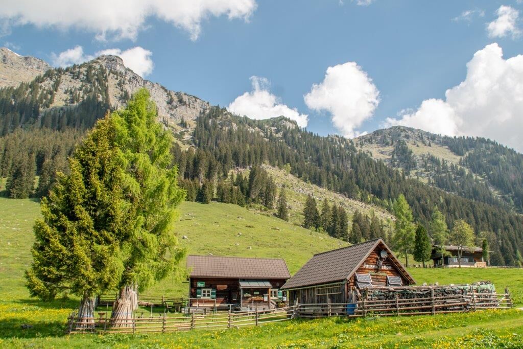
Via the Höhenstraße and the Liezener Eck you reach the Hinteregger Alm with rustic snack stations. Descent via the Höll, Hinteregger Weg, Gasthof Schlagerbauer, Klausensteig to the town center.
- Stopień trudności
-
średni
- Ocena
-
- Trasa
-
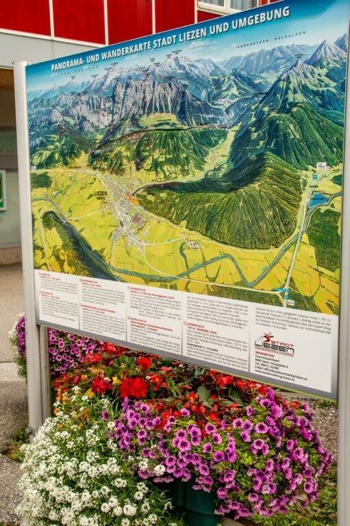
LiezenSt. Veit0,2 kmRöth1,5 kmAm Berg3,4 kmBlick über Liezen4,7 kmDachsteinblick5,3 kmBlick ins Ennstal7,7 kmHinteregger Alm7,7 kmAm Berg13,6 kmGasthof Schlagerbauer14,1 kmSt. Veit17,3 kmLiezen17,6 km
- Najlepszy sezon
-
stylutmarkwimajczelipsiewrzpaźlisgru
- Najwyższy punkt
- 1.257 m
- Miejsce docelowe
-
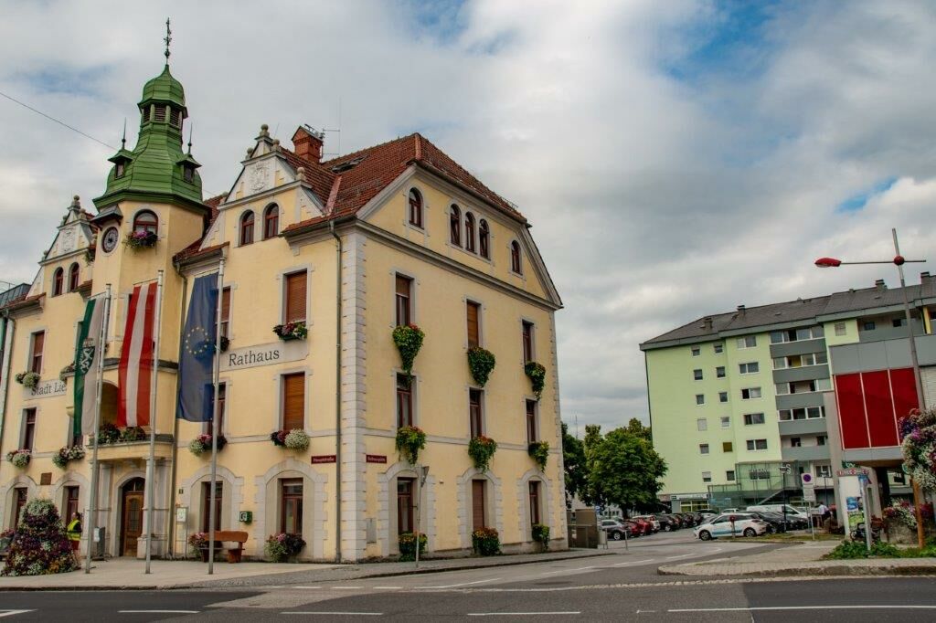
Panoramatafel Rathausplatz
- Profil wysokości
-


-

-
AutorWycieczka Hinteregger Tour jest używany przez outdooractive.com pod warunkiem.
GPS Downloads


Informacje ogólne
Przystanek odświeżania
Obiecujący
Więcej wycieczek w regionach
-
Gesäuse
2228
-
Urlaubsregion Pyhrn - Priel
1442
-
Liezen
317


