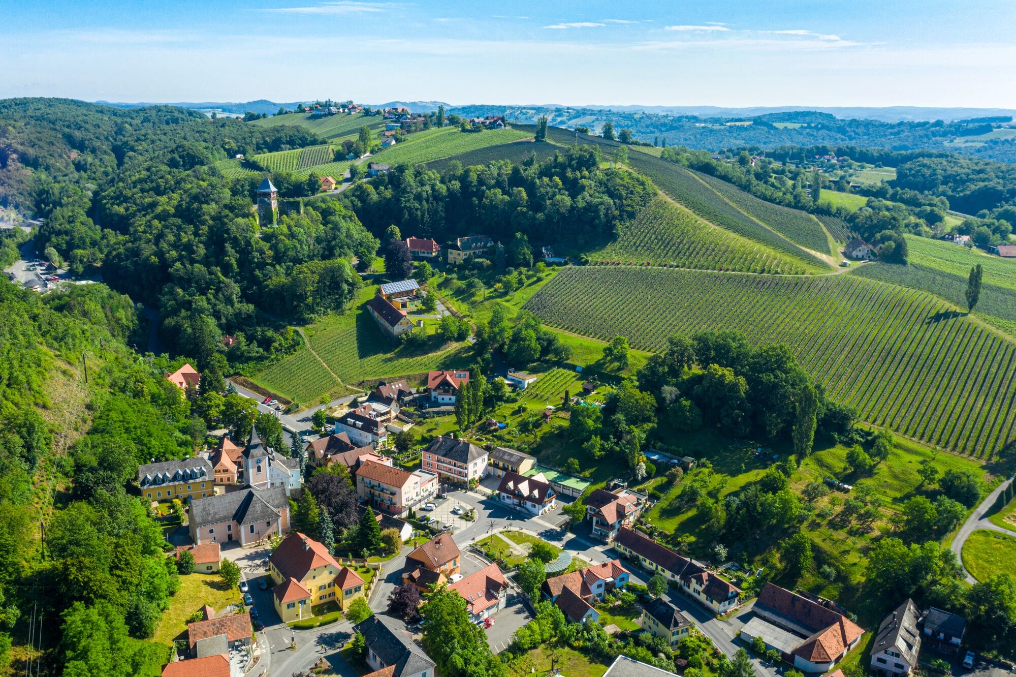
© Erlebnisregion Thermen- & Vulkanland - pixelmaker.at

© Unbekannt - Manfred Wiedner

© Unbekannt - Manfred Wiedner

© Unbekannt - Manfred Wiedner

© Unbekannt - Manfred Wiedner

© Unbekannt - Manfred Wiedner

© Unbekannt - Manfred Wiedner

© Unbekannt - Manfred Wiedner

© Unbekannt - Manfred Wiedner

© Unbekannt - Manfred Wiedner
- Krótki opis
-
Boundless hiking in the thermal & volcanic land of Styria! Servus! Zdravo! Drop in on your neighbors, experience the countryside and discover farm stores.
- Stopień trudności
-
średni
- Ocena
-
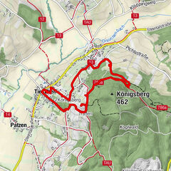
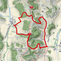
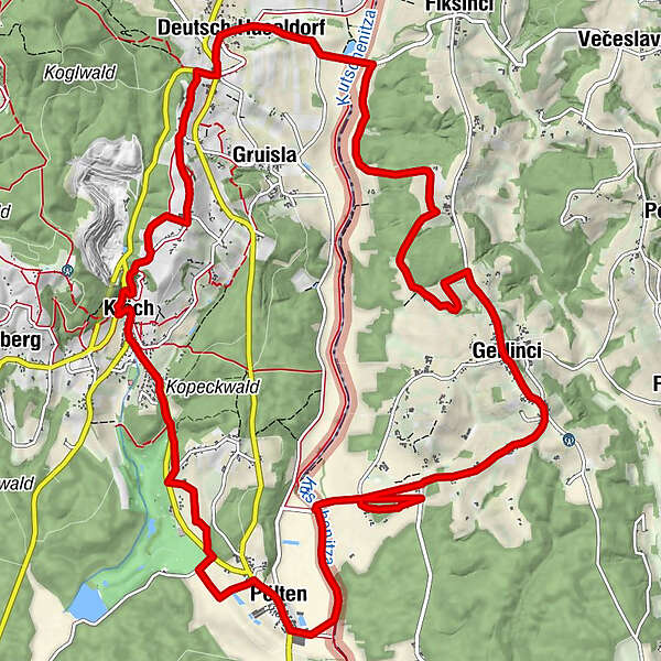
- Trasa
-
Klöch0,2 kmGustoplatzl1,6 kmPölten3,3 kmizletniška kmetija Kozelinovi7,7 kmJörgelsdorf8,8 kmsv. Anton8,9 kmDeutsch Haseldorf14,0 kmGasthof Weinlandhof14,5 kmKratzer14,9 kmHochwarth15,7 kmBuschenschank Gießauf-Nell16,0 kmRestaurant Klöcherhof17,2 kmKlöch17,3 km
- Najlepszy sezon
-
stylutmarkwimajczelipsiewrzpaźlisgru
- Najwyższy punkt
- 396 m
- Miejsce docelowe
-
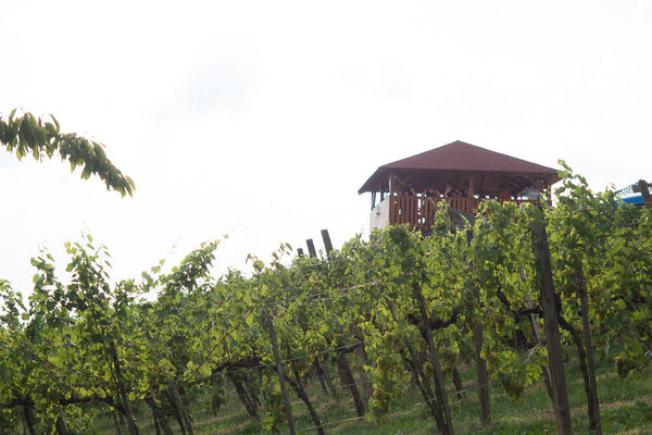
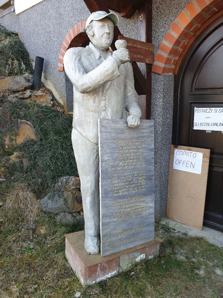
Vinothek & Wine Museum Klöch
- Profil wysokości
-


- Autor
-
Wycieczka Path of friendship (Weg der Freundschaft) jest używany przez outdooractive.com pod warunkiem.
GPS Downloads


Informacje ogólne
Przystanek odświeżania
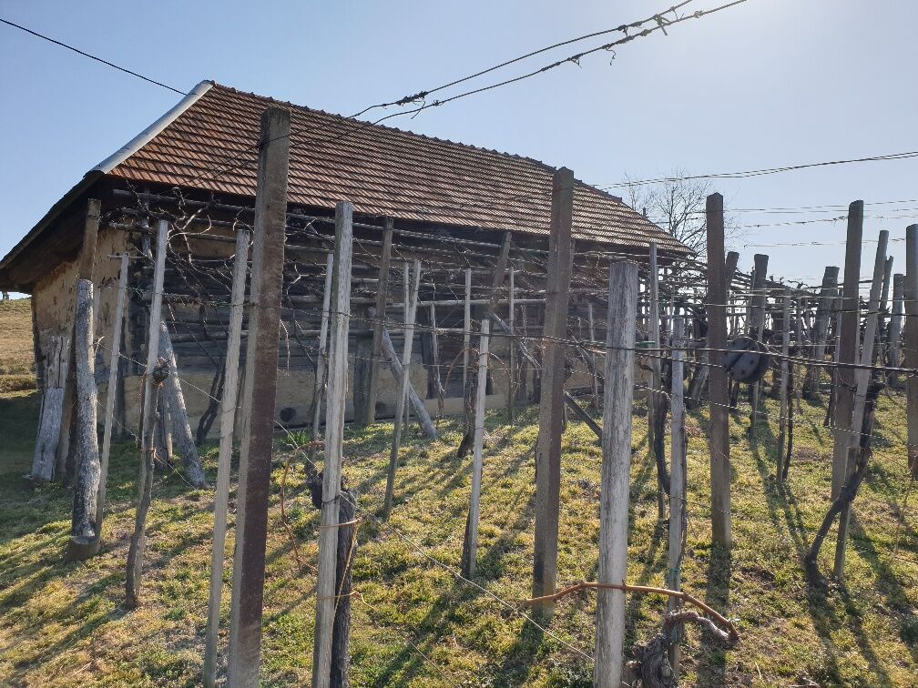
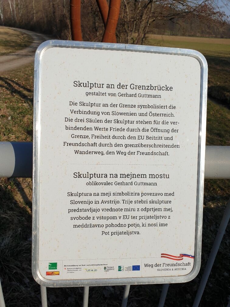
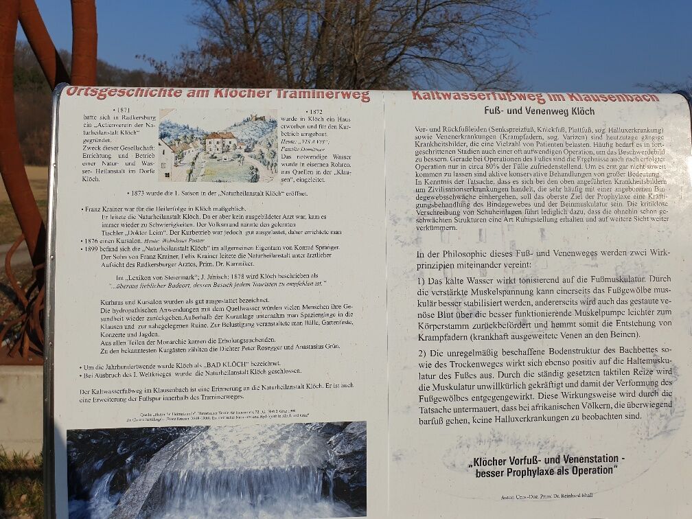
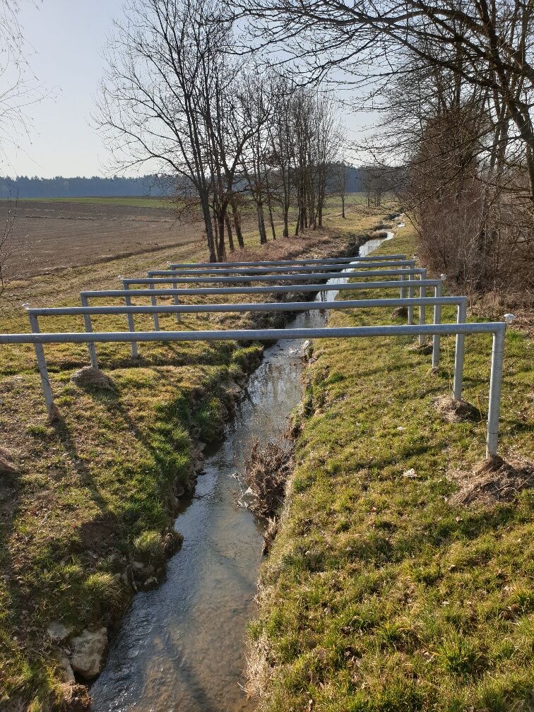
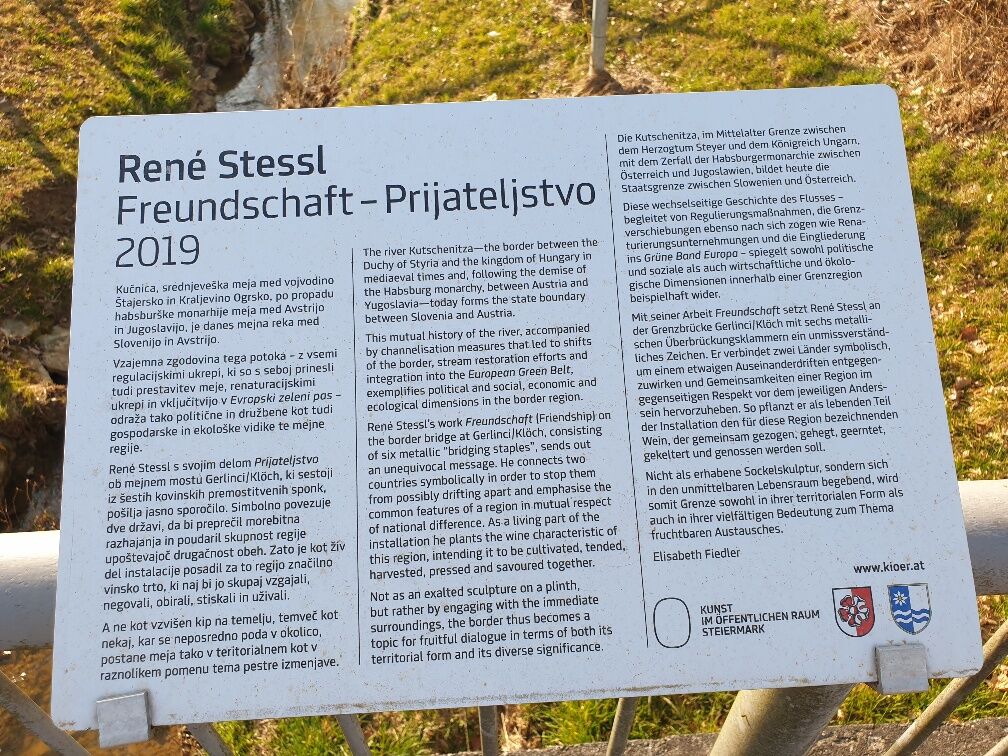
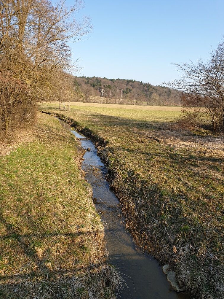
Kulturalny/Historyczny
Więcej wycieczek w regionach
-
Südsteiermark
1130
-
Region Bad Radkersburg
215
-
Klöch
83