© Erlebnisregion Schladming-Dachstein - Schladming Dachstein - TVB Gröbminger Land
- Krótki opis
-
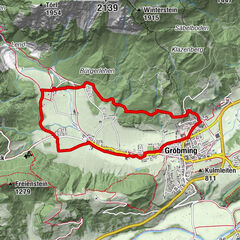
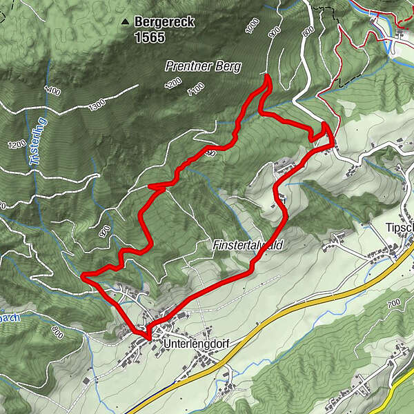
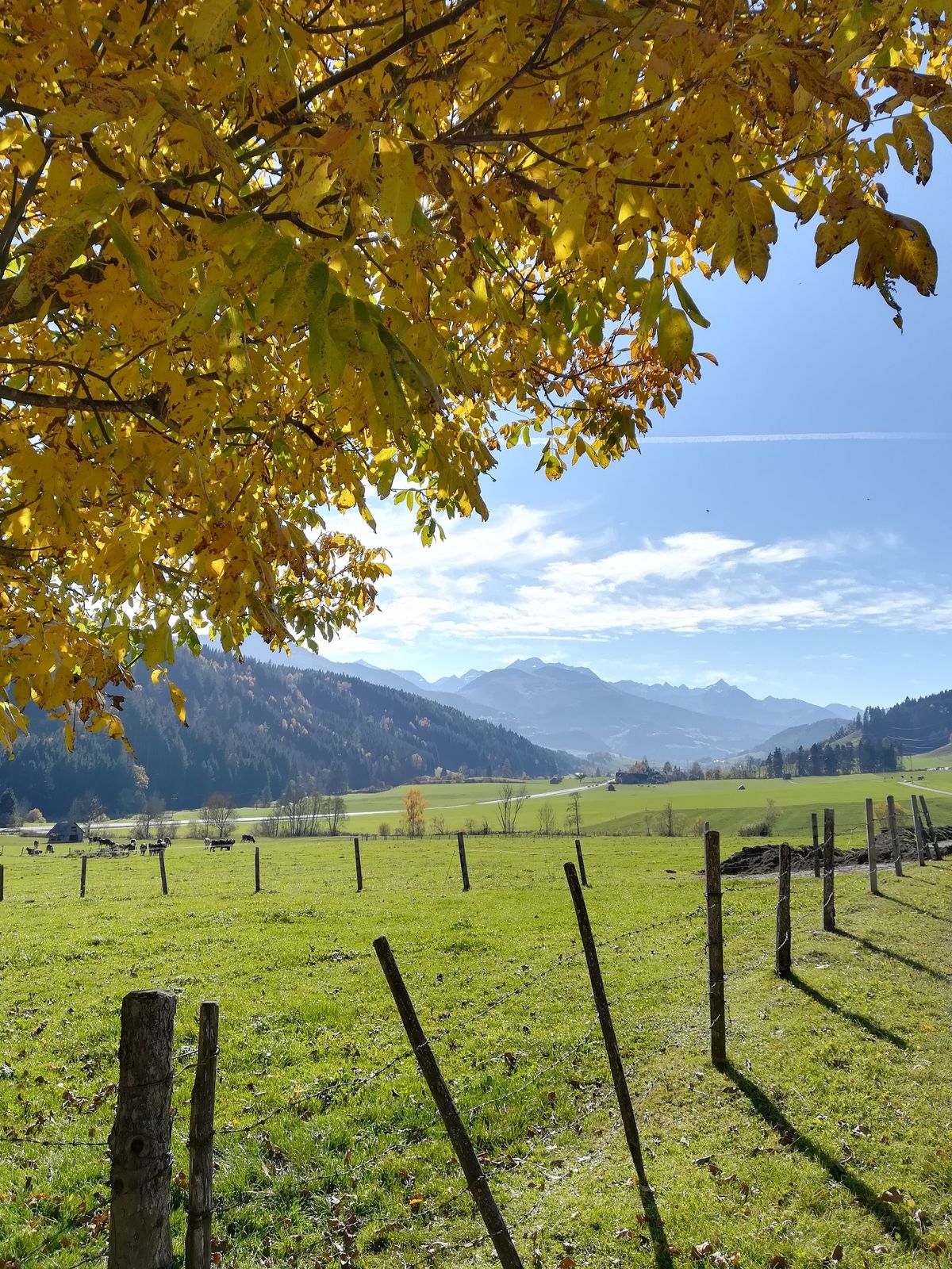
Along forest paths at the foot of the crest the Prenten Höhenweg leads with its starting and end point in Lengdorf.
- Stopień trudności
-
łatwe
- Ocena
-
- Trasa
-
OberlengdorfPrenten3,6 kmOberlengdorf5,4 km
- Najlepszy sezon
-
stylutmarkwimajczelipsiewrzpaźlisgru
- Najwyższy punkt
- 920 m
- Miejsce docelowe
-
Lengdorf Dorfplatz
- Profil wysokości
-

- Autor
-
Wycieczka Prenten Höhenweg (Number 8) jest używany przez outdooractive.com pod warunkiem.
GPS Downloads


Informacje ogólne
Wskazówka dla osób mających dostęp do poufnych informacji
Więcej wycieczek w regionach