© freizeitkarte.at
- Krótki opis
-
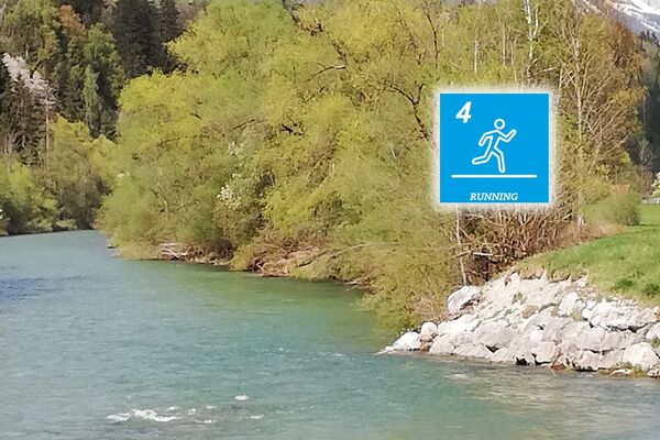
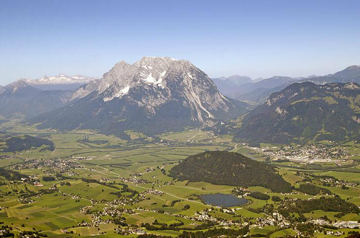
Varied running course around the Kulm with slight inclines and flat sections for "tempo polishing". At the Putterersee you can cool off on hot summer days.
- Stopień trudności
-
średni
- Ocena
-
- Trasa
-
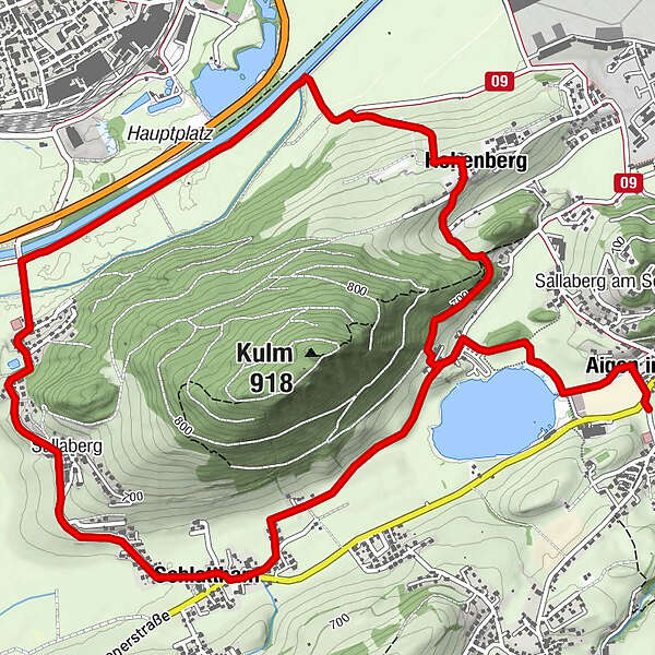
Aigen im Ennstal0,1 kmSchlattham2,5 kmSallaberg3,5 kmHohenberg6,7 kmAigen im Ennstal8,8 km
- Najlepszy sezon
-
stylutmarkwimajczelipsiewrzpaźlisgru
- Najwyższy punkt
- 700 m
- Miejsce docelowe
-
Parkingplace tennis court Aigen
- Profil wysokości
-

- Autor
-
Wycieczka Roundtrail Kulm jest używany przez outdooractive.com pod warunkiem.
GPS Downloads


Więcej wycieczek w regionach