© Erlebnisregion Schladming-Dachstein - Armin Walcher

© Erlebnisregion Schladming-Dachstein - Armin Walcher

© Erlebnisregion Schladming-Dachstein - Armin Walcher

© Erlebnisregion Schladming-Dachstein - Armin Walcher
- Krótki opis
-
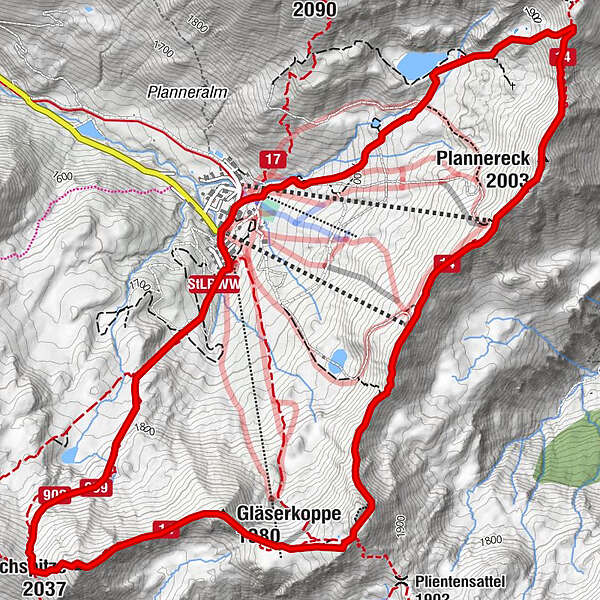
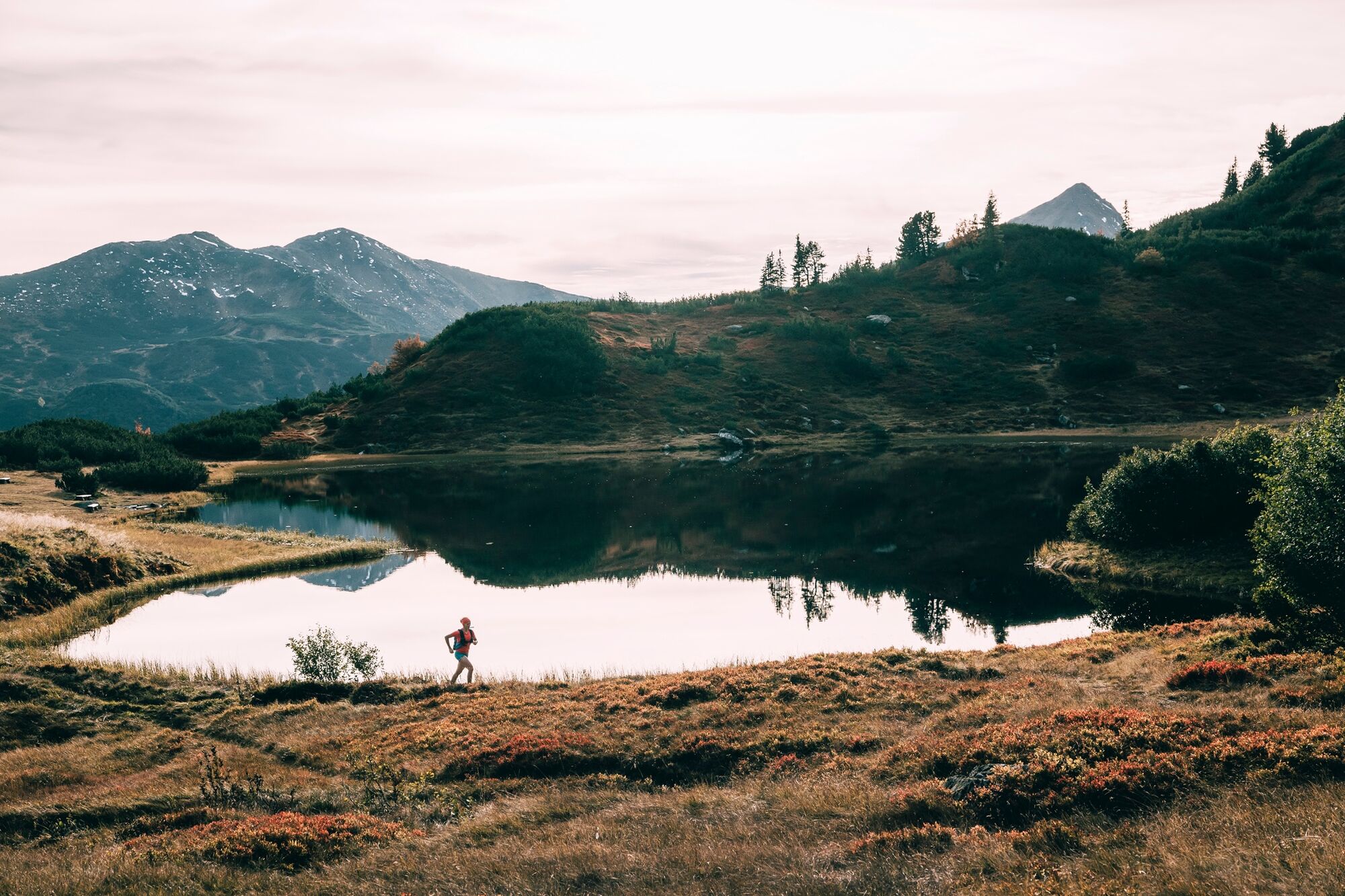
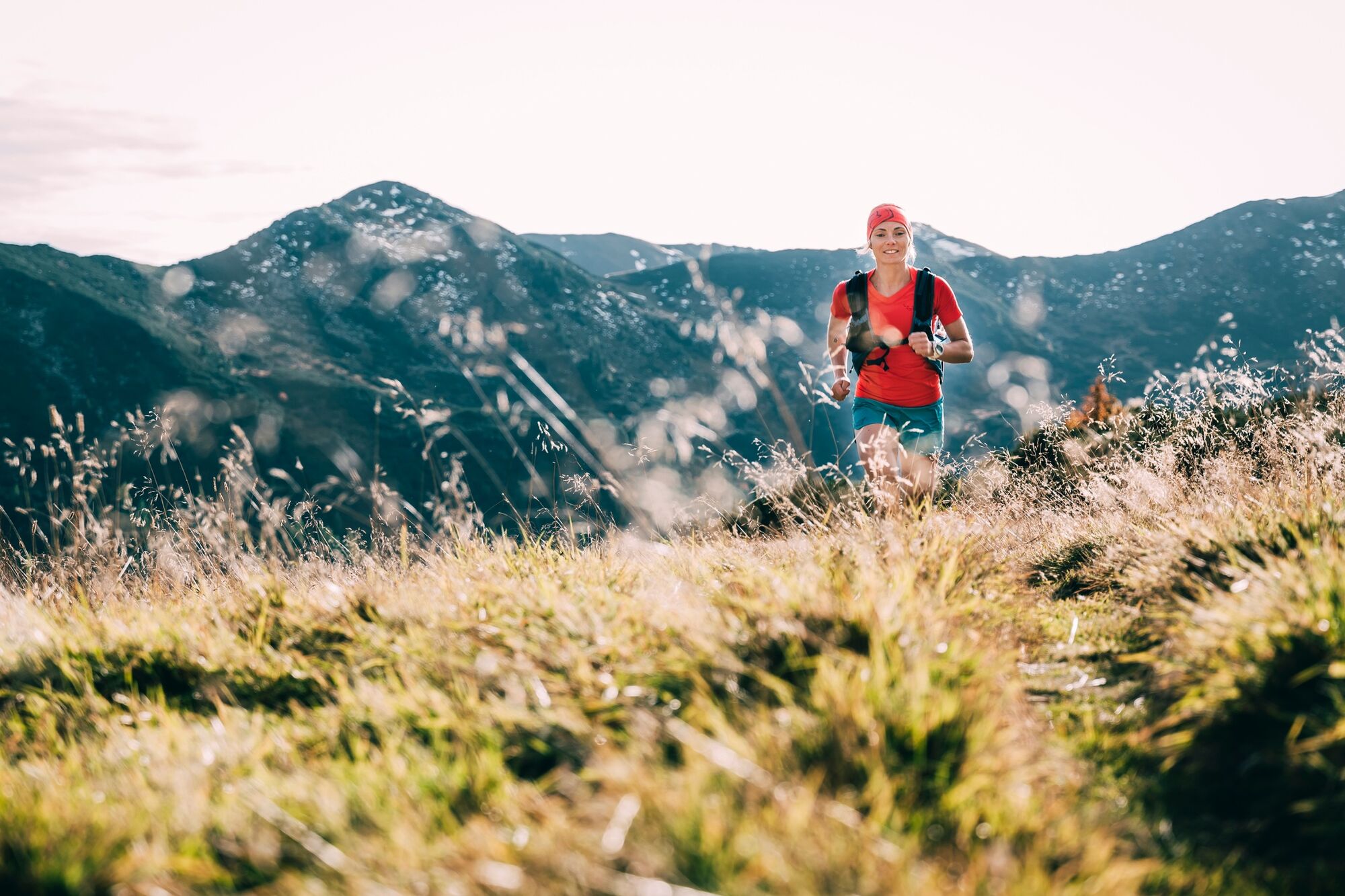
The alpine single trail on narrow climbs and paths is peppered with 5 gifpeln and technical trails.
- Stopień trudności
-
ciężkie
- Ocena
-
- Trasa
-
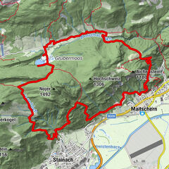
Bergrettungshütte0,1 kmPlannereck (2.003 m)2,5 kmKleiner Rotbühel (1.912 m)3,7 kmGroßer Rotbühel (2.019 m)4,5 kmGläserkoppe (1.980 m)5,1 kmJochspitze (2.037 m)5,9 kmGoldbachscharte (1.960 m)6,2 km
- Najlepszy sezon
-
stylutmarkwimajczelipsiewrzpaźlisgru
- Najwyższy punkt
- 2.023 m
- Miejsce docelowe
-
Mountain rescue hut Planneralm
- Profil wysokości
-


-

-
AutorWycieczka Summit Trail Planneralm jest używany przez outdooractive.com pod warunkiem.
GPS Downloads


Informacje ogólne
Obiecujący
Więcej wycieczek w regionach