© Unbekannt - Günther Steininger

© Erlebnisregion Thermen- & Vulkanland - Werner Krug

© Erlebnisregion Thermen- & Vulkanland - Werner Krug

© Erlebnisregion Thermen- & Vulkanland - Werner Krug

© Erlebnisregion Thermen- & Vulkanland - Thomas Gußmagg

© Erlebnisregion Thermen- & Vulkanland - Werner Krug

© Erlebnisregion Thermen- & Vulkanland - Werner Krug

© Erlebnisregion Thermen- & Vulkanland - Werner Krug

© Erlebnisregion Thermen- & Vulkanland - Thomas Gußmagg

© Erlebnisregion Thermen- & Vulkanland - Werner Krug
- Krótki opis
-
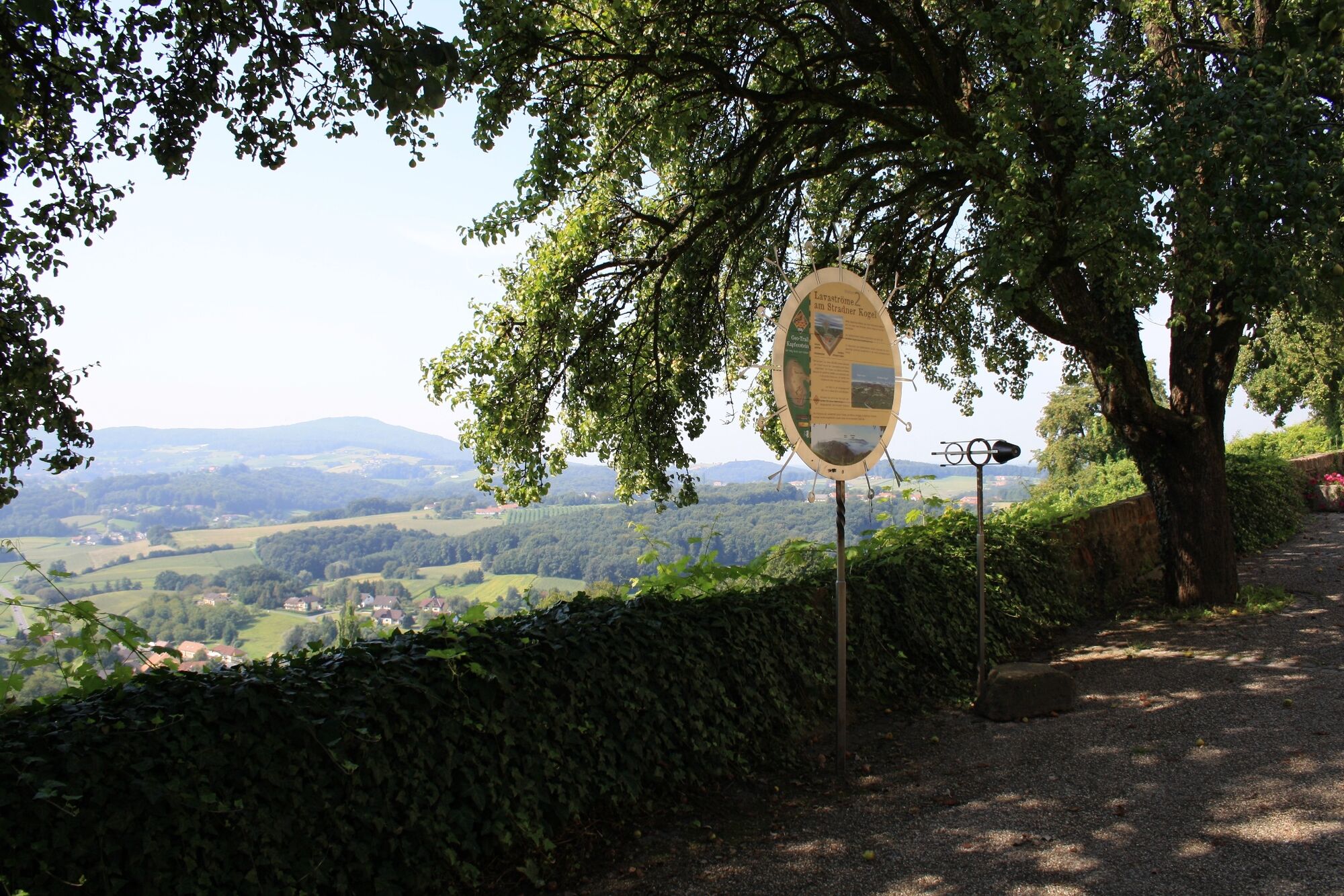
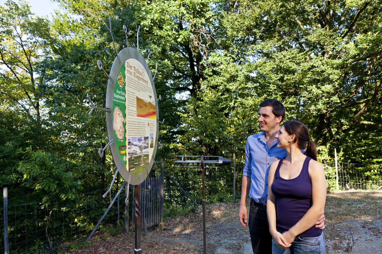
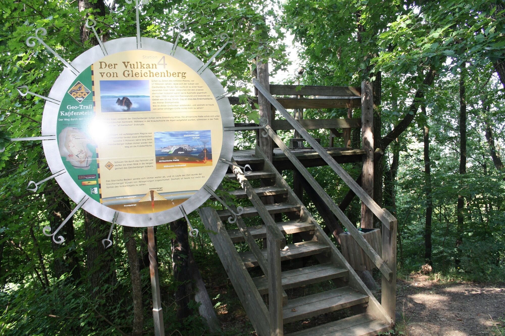
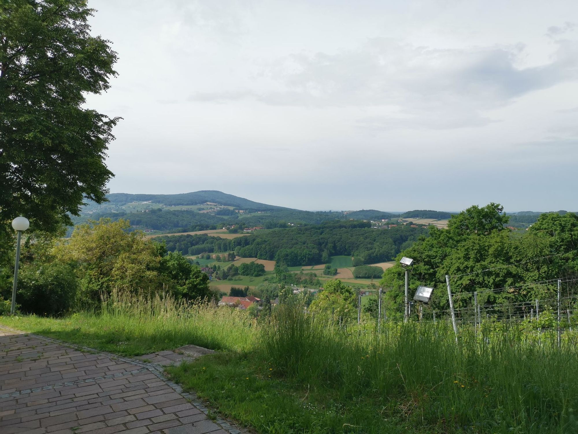
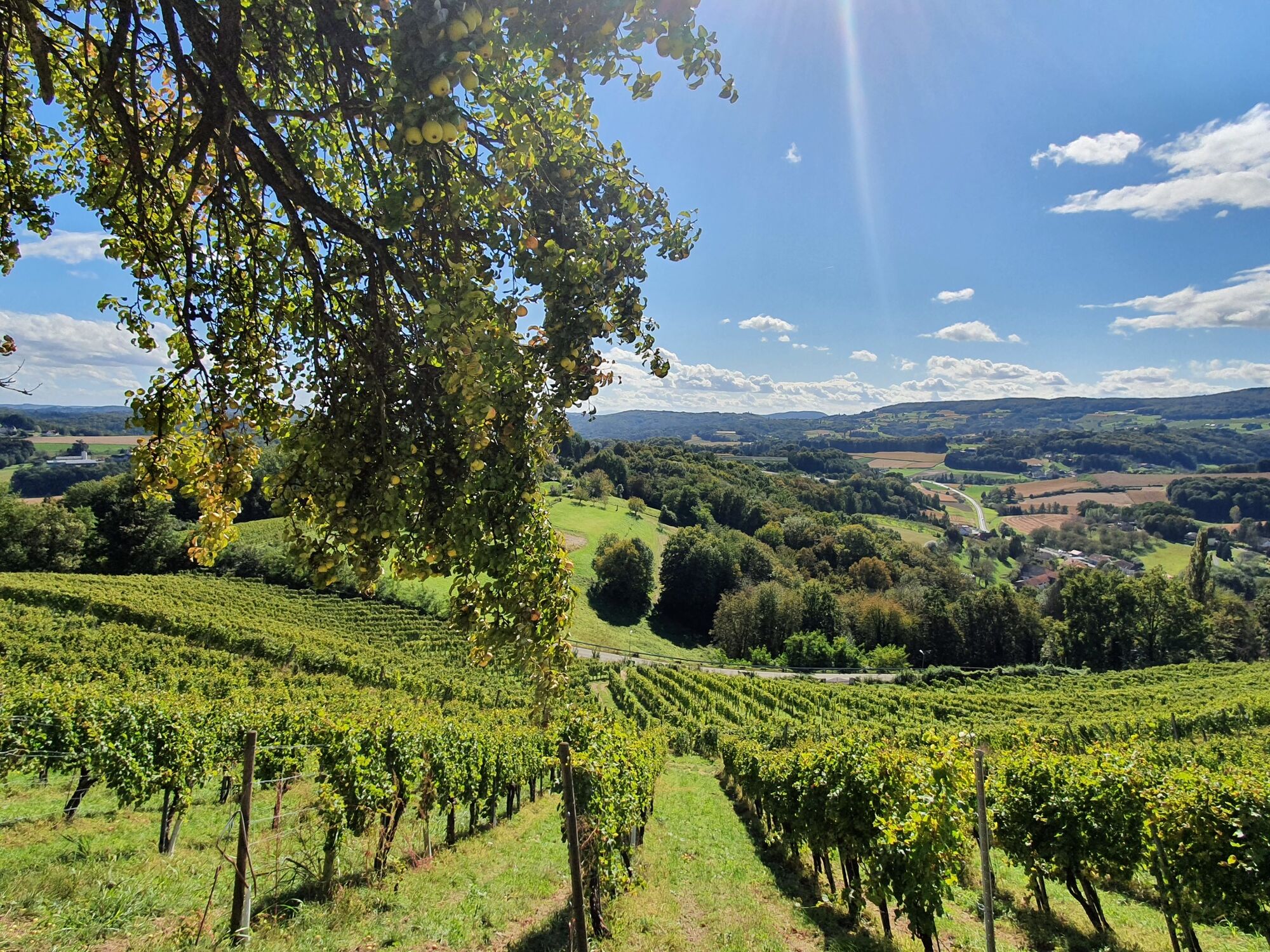
See, experience and marvel - A hiking trail through the volcano all under the sign of the earth's history!
- Stopień trudności
-
łatwe
- Ocena
-
- Trasa
-
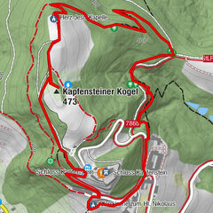
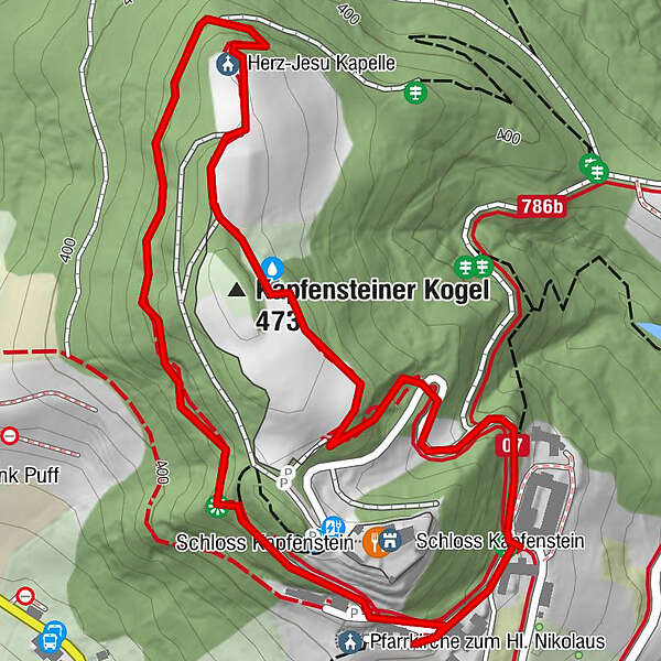
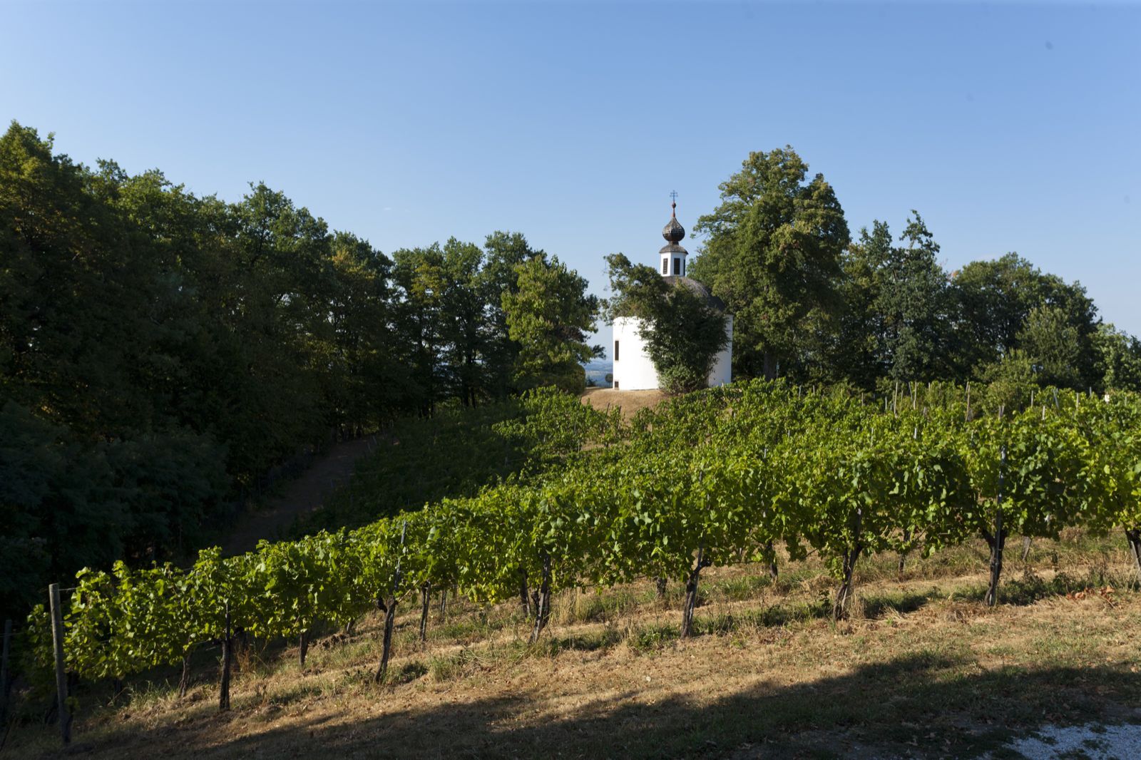
Kapfensteinerhof0,0 kmPfarrkirche zum Hl. Nikolaus0,2 kmHerz-Jesu Kapelle1,1 kmKapfensteiner Kogel (473 m)1,3 km
- Najlepszy sezon
-
stylutmarkwimajczelipsiewrzpaźlisgru
- Najwyższy punkt
- 464 m
- Miejsce docelowe
-
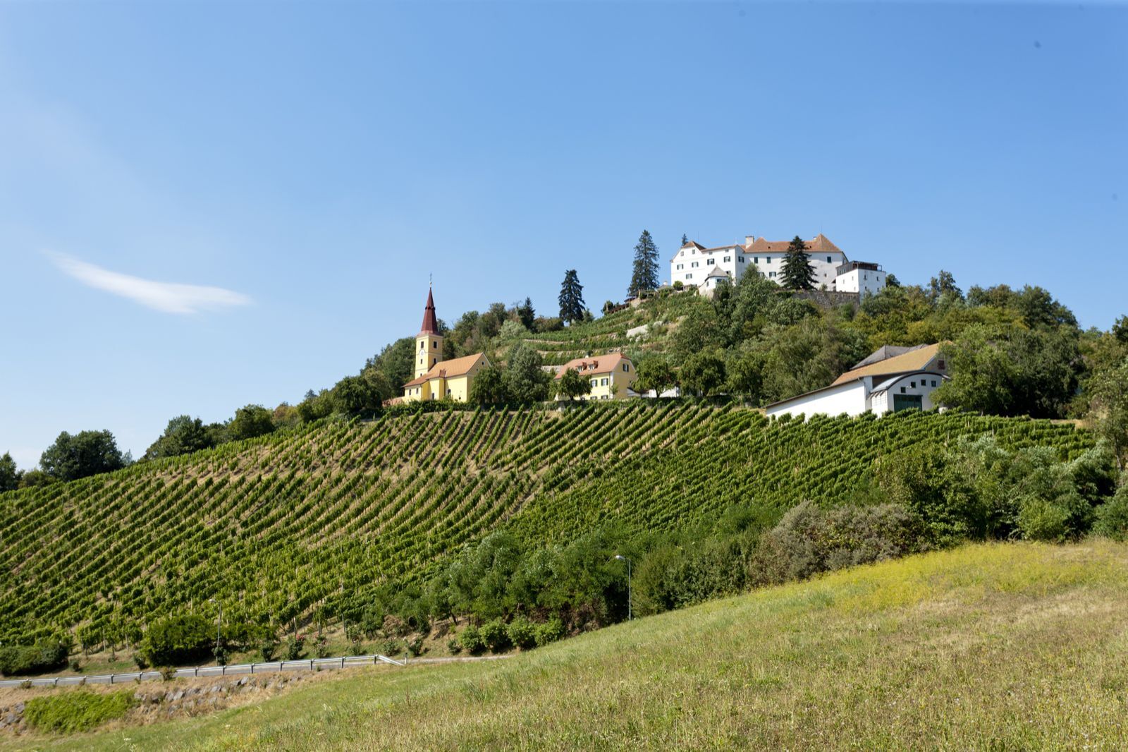
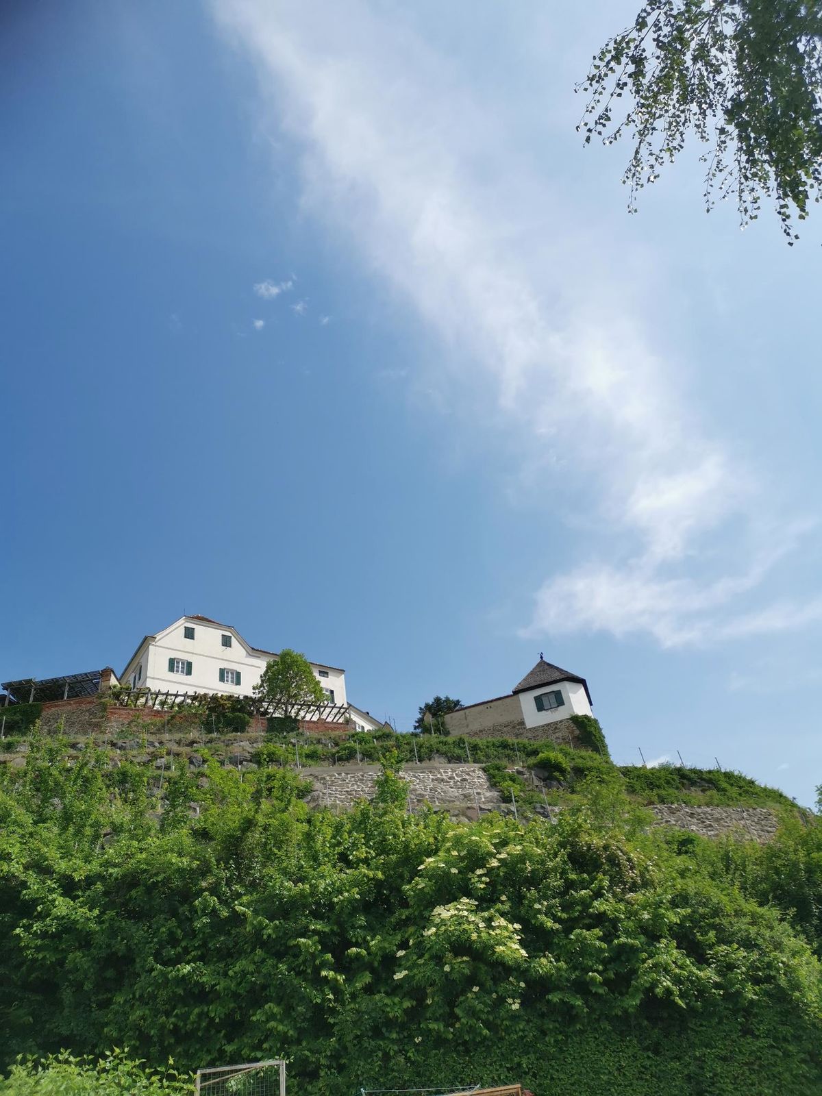
Kapfenstein Castle
- Profil wysokości
-


- Autor
-
Wycieczka Geo-Trail Kapfenstein jest używany przez outdooractive.com pod warunkiem.
GPS Downloads


Informacje ogólne
Przystanek odświeżania
Wskazówka dla osób mających dostęp do poufnych informacji
Obiecujący
Więcej wycieczek w regionach
-
Thermen- & Vulkanland
1324
-
Bad Gleichenberg
372
-
Kapfenstein
170