© Ausseerland - Günter Köberl

© Ausseerland - Günter Köberl

© Ausseerland - Günter Köberl

© Ausseerland - Günter Köberl

- Krótki opis
-
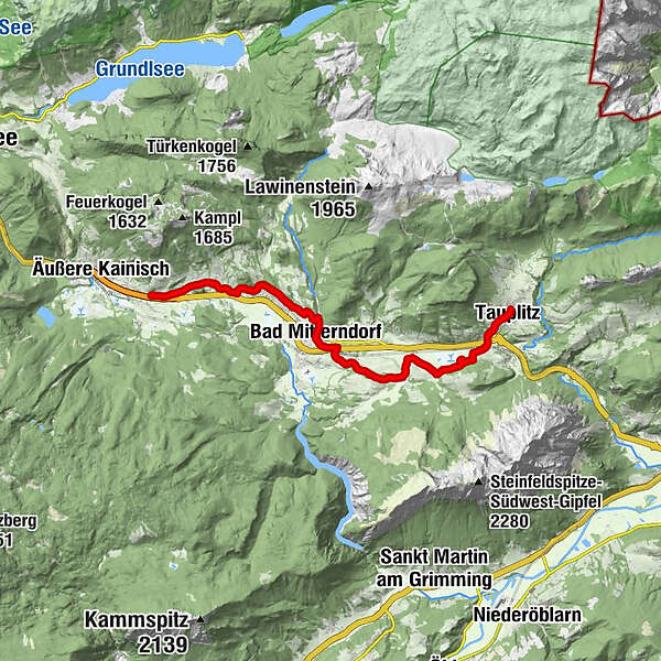
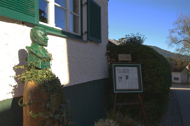
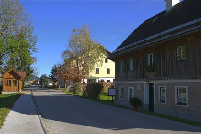
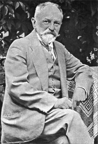
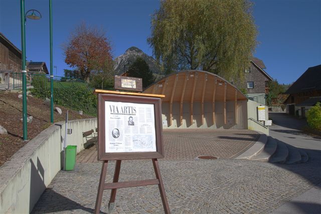
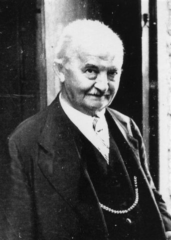
The hiking trail leads from the starting point at the birthplace of Herbert Zand in the district of Knoppen first along the main road to Obersdorf, then along a hiking trail to Bad Mitterndorf, from there also along walking trails to Tauplitz. The trail has four stations.
- Stopień trudności
-
łatwe
- Ocena
-
- Trasa
-
Knoppen0,6 kmMelzen1,5 kmObersdorf1,9 kmGasthof zum Sandlweber2,3 kmSonnenalm4,1 kmReith5,7 kmBad Mitterndorf7,0 kmPfarrkirche zur hl. Margareta7,0 kmThörl7,8 kmKrungl11,3 kmFurt14,8 kmTauplitz15,8 km
- Najlepszy sezon
-
stylutmarkwimajczelipsiewrzpaźlisgru
- Najwyższy punkt
- 921 m
- Miejsce docelowe
-
Tauplitz, village square
- Profil wysokości
-


- Autor
-
Wycieczka Via Artis Grimmingorte jest używany przez outdooractive.com pod warunkiem.
GPS Downloads


Informacje ogólne
Przystanek odświeżania
Kulturalny/Historyczny
Obiecujący
Więcej wycieczek w regionach
-
Ausseerland - Salzkammergut
3382
-
Gröbminger Land
1190
-
Bad Mitterndorf
290