© TV Gesäuse - Stefan Leitner
© Gesäuse - Admont

© TV Gesäuse - Stefan Leitner

© TV Gesäuse - Stefan Leitner

© TV Gesäuse - Stefan Leitner

© TV Gesäuse - Stefan Leitner

© TV Gesäuse - Stefan Leitner

© TV Gesäuse - Stefan Leitner

© TV Gesäuse - Stefan Leitner


- Krótki opis
-
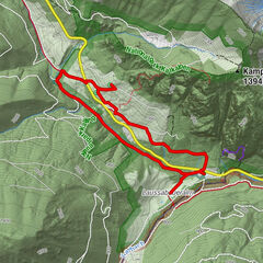
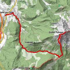
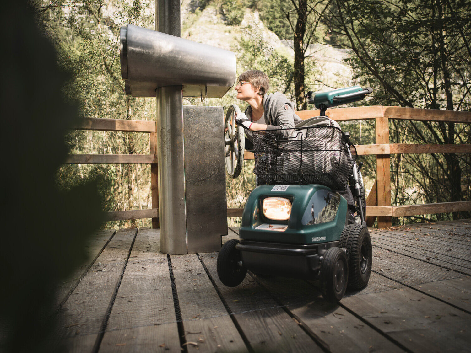
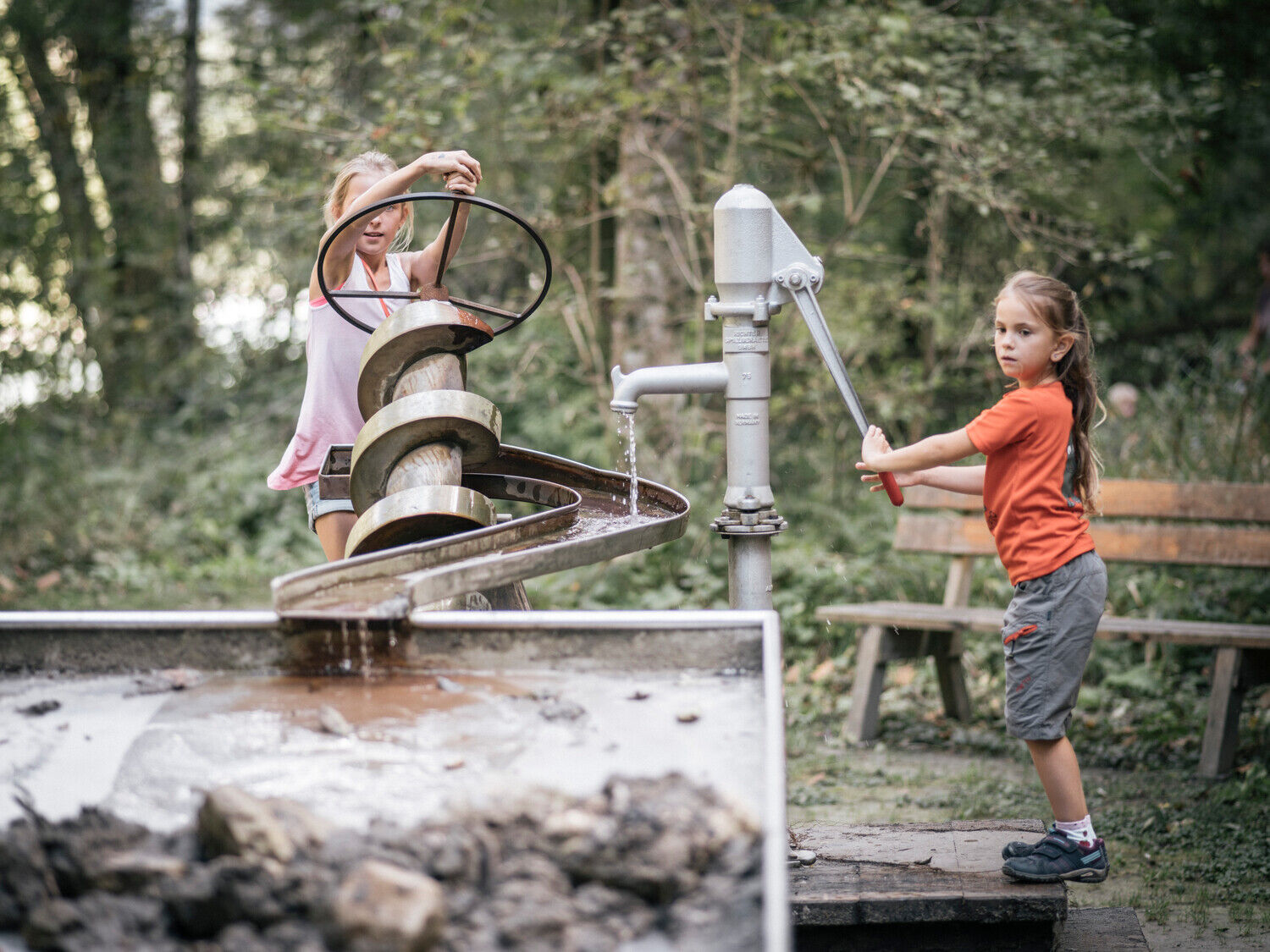
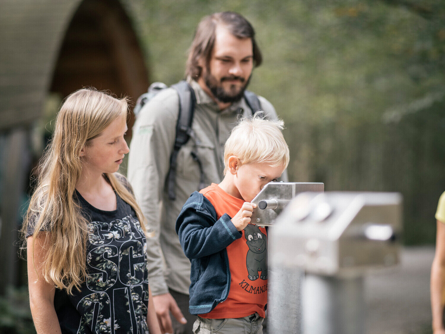
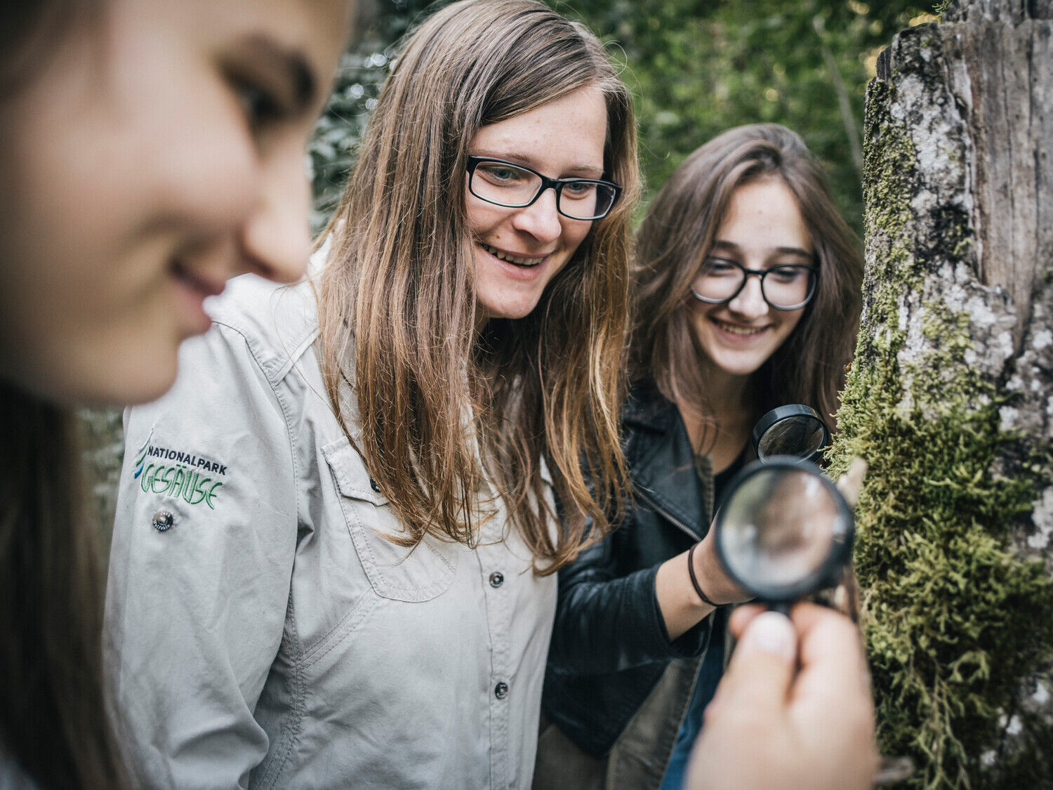
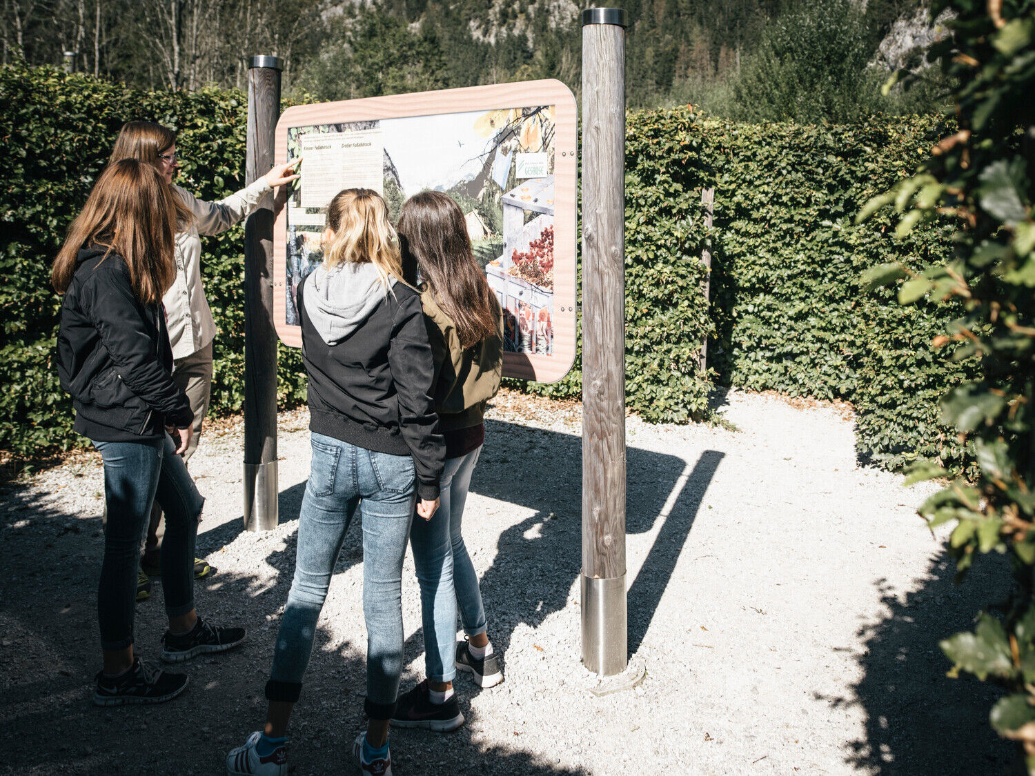
On a footbridge construction, the visitor "floats" at an appropriate height above the outstanding example of the intact floodplain landscape along the Enns. All stations are in operation from May to October. Depending on weather and snow conditions, the trail is accessible all year round.
- Stopień trudności
-
łatwe
- Ocena
-
- Najlepszy sezon
-
stylutmarkwimajczelipsiewrzpaźlisgru
- Najwyższy punkt
- 608 m
- Miejsce docelowe
-
Weidendom
- Profil wysokości
-


-

-
AutorWycieczka Lettmair-Au jest używany przez outdooractive.com pod warunkiem.
GPS Downloads


Informacje ogólne
Przystanek odświeżania
Flora
Obiecujący
Więcej wycieczek w regionach
-
Gesäuse
2224
-
Steyr und die Nationalpark Region
1371
-
Gaishorn am See
306