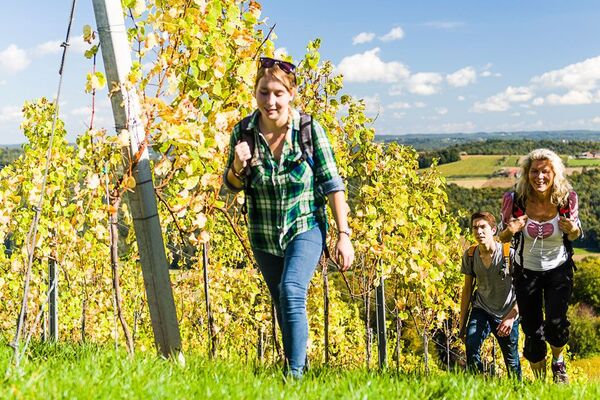
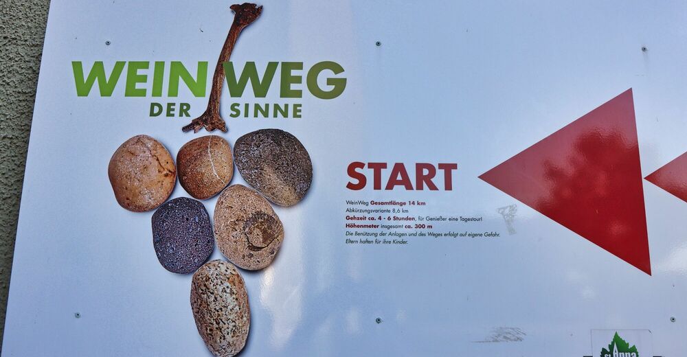
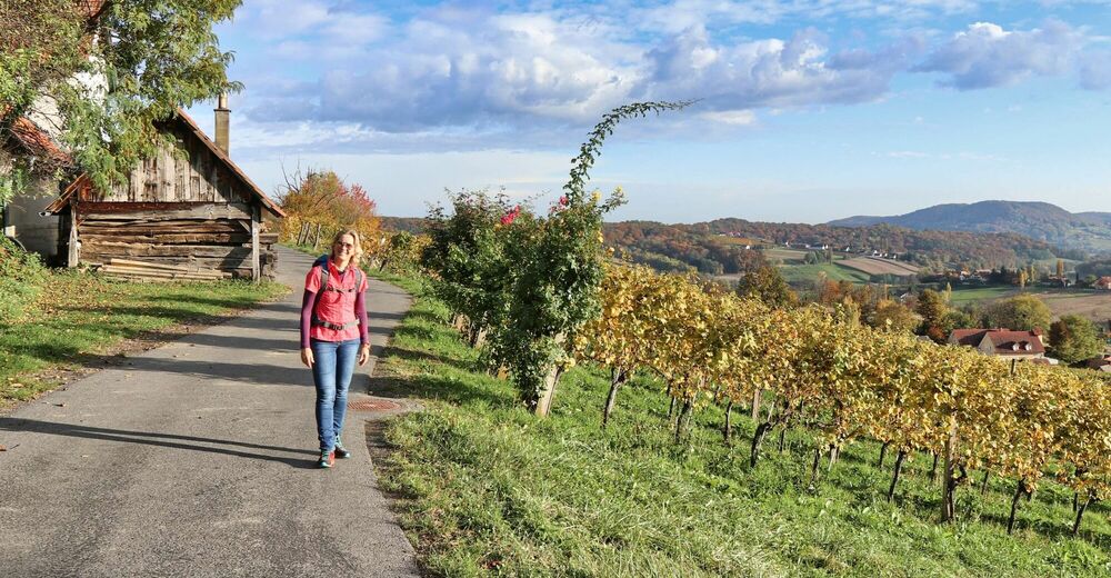
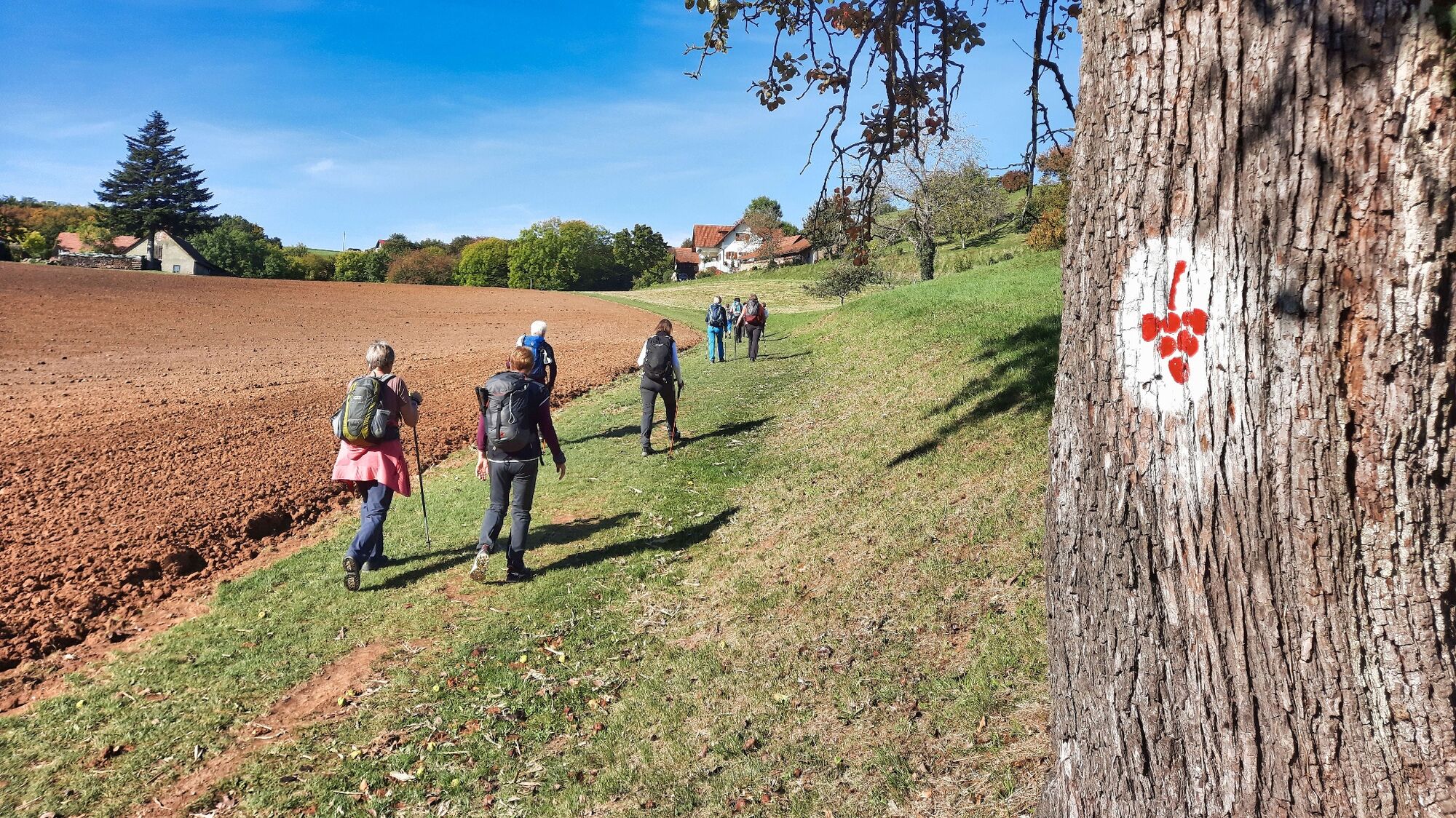
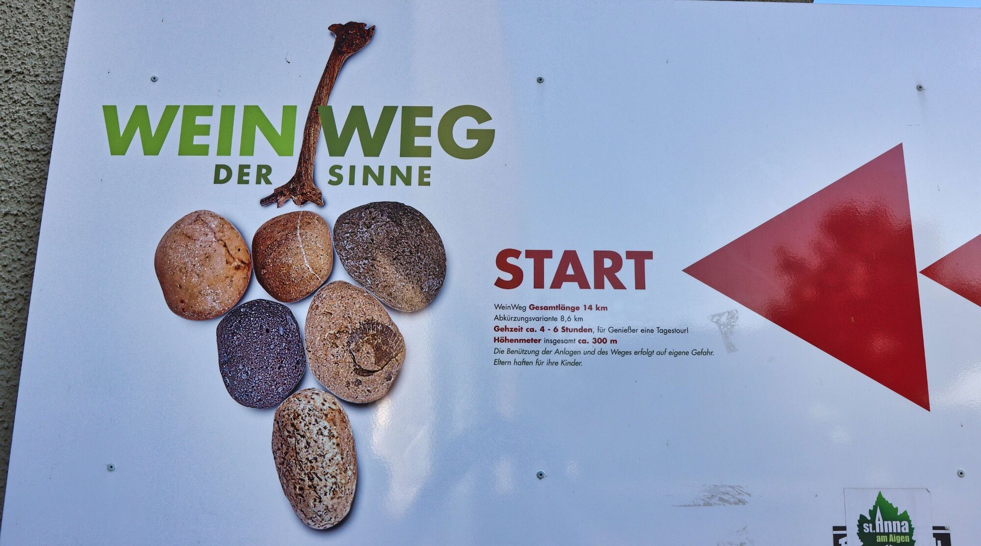
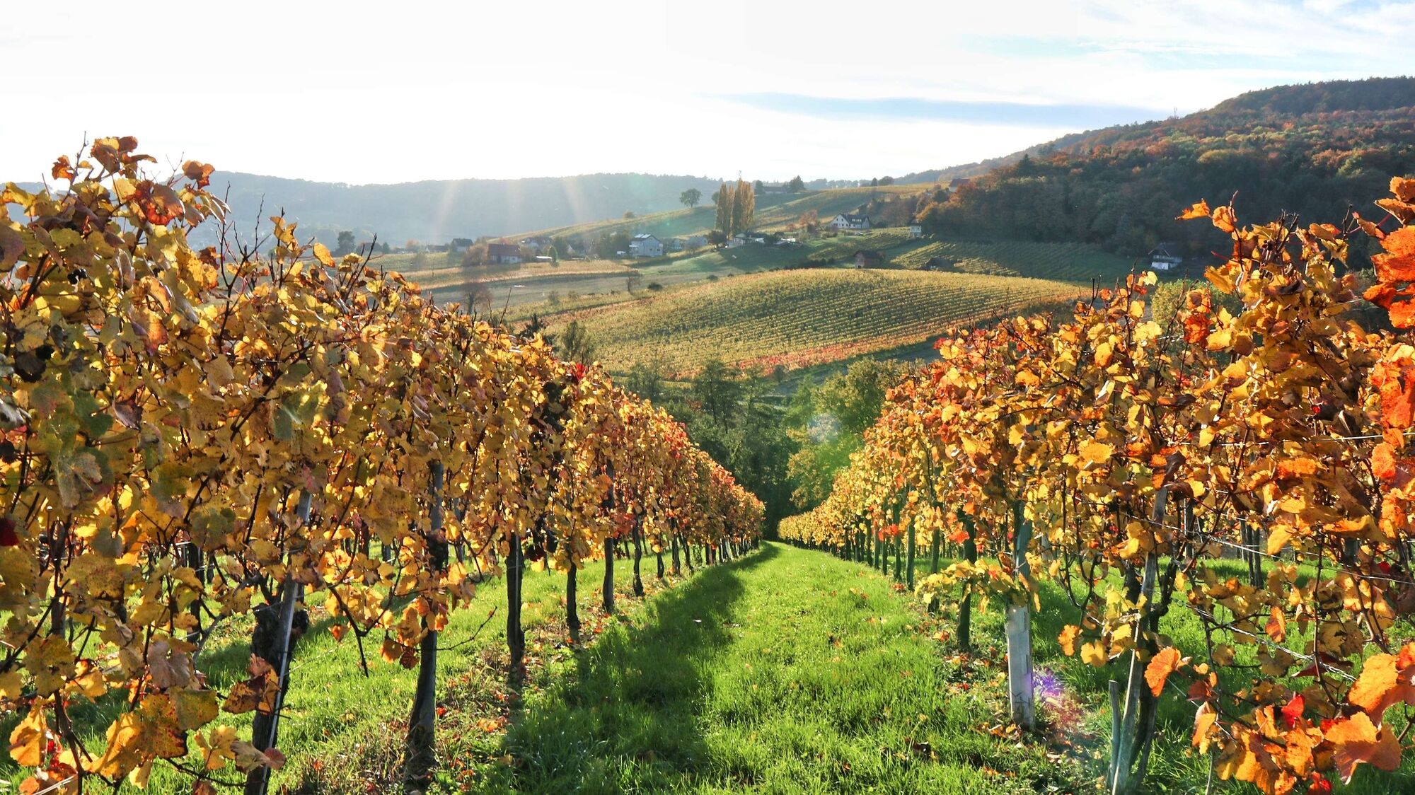
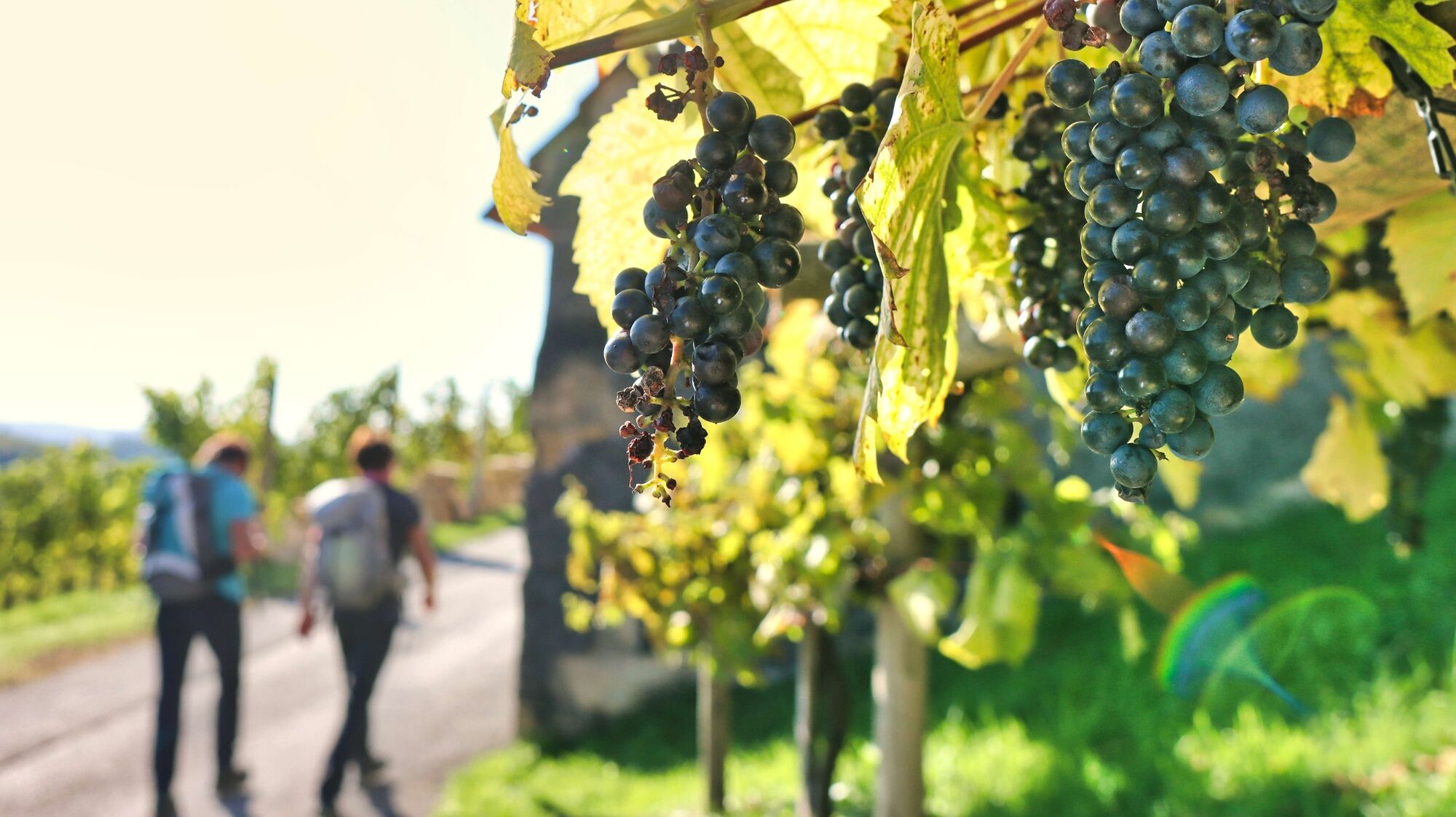
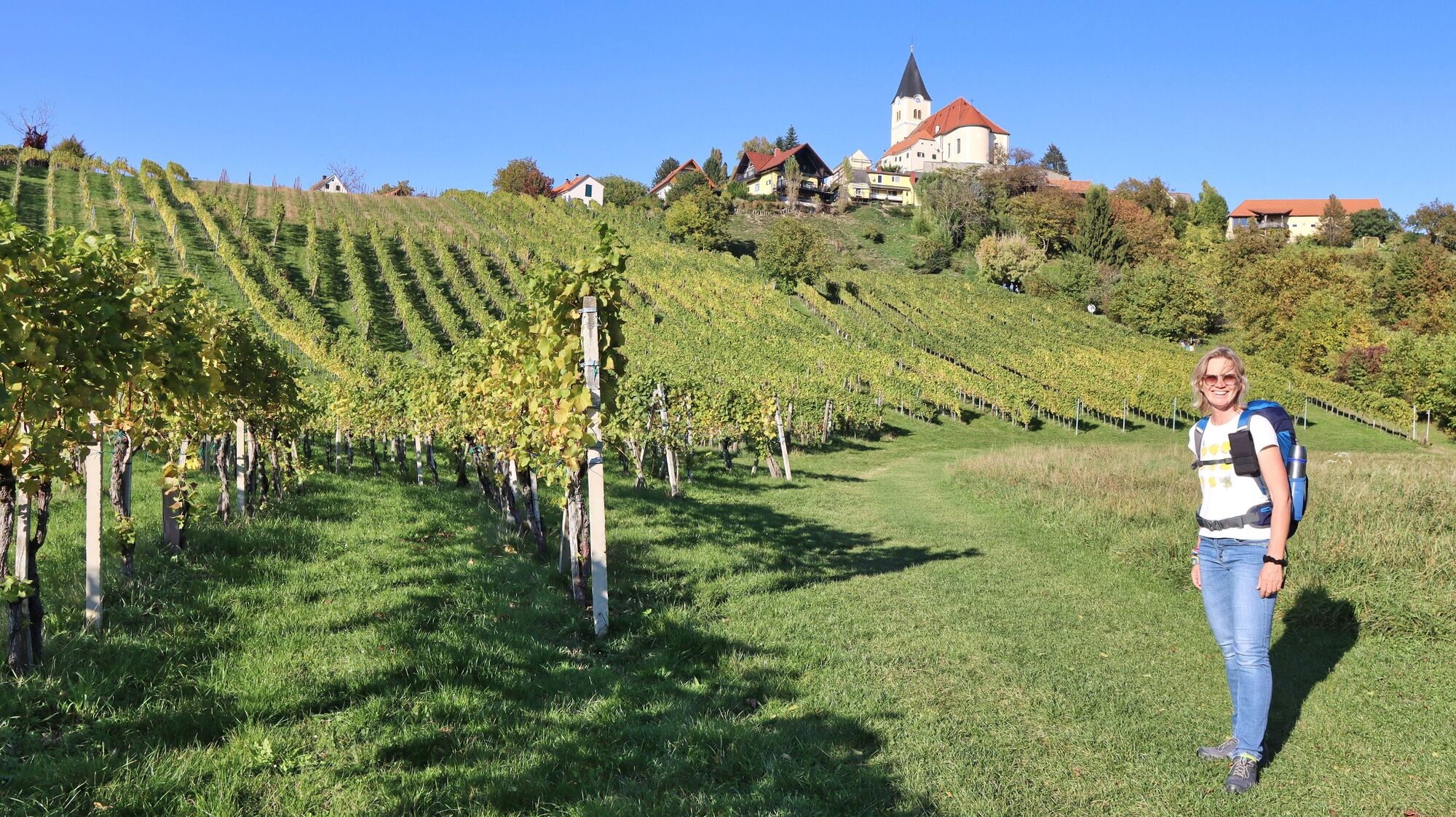
Wine trail of the senses (Weinweg der Sinne) in St. Anna

Wędrówka

© Weges OG

© Weges OG
© Weges OG
© Weges OG
© Weges OG
© Weges OG
© Weges OG
© Weges OG
© Weges OG
© Weges OG
- Krótki opis
-
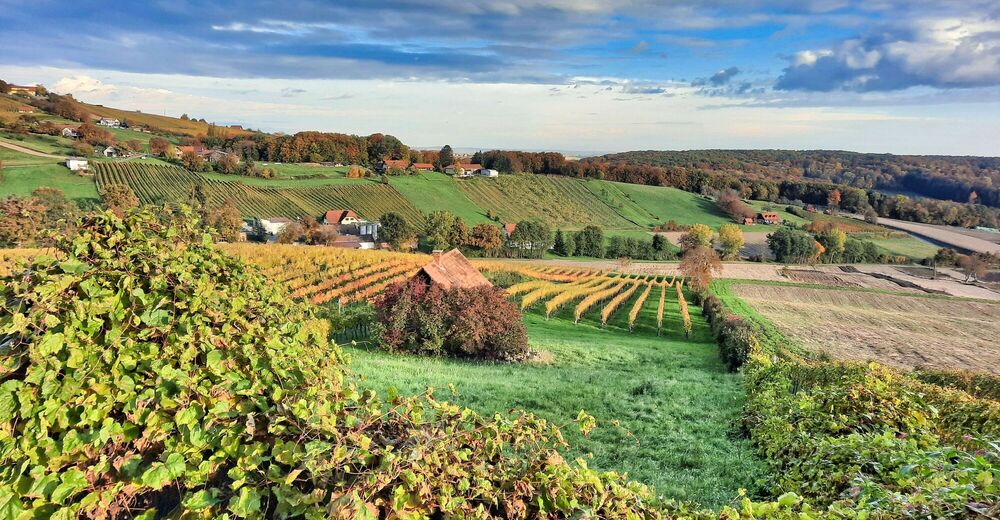
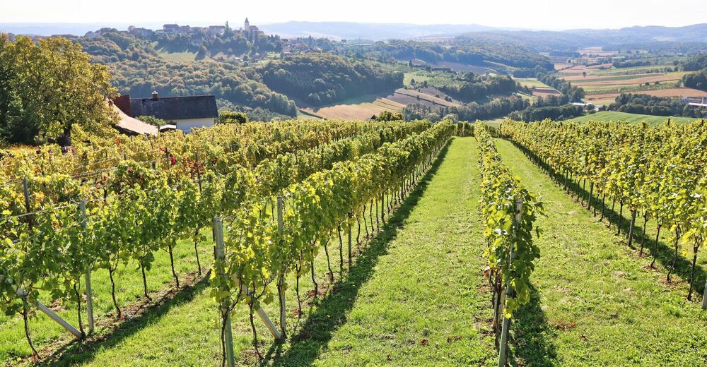
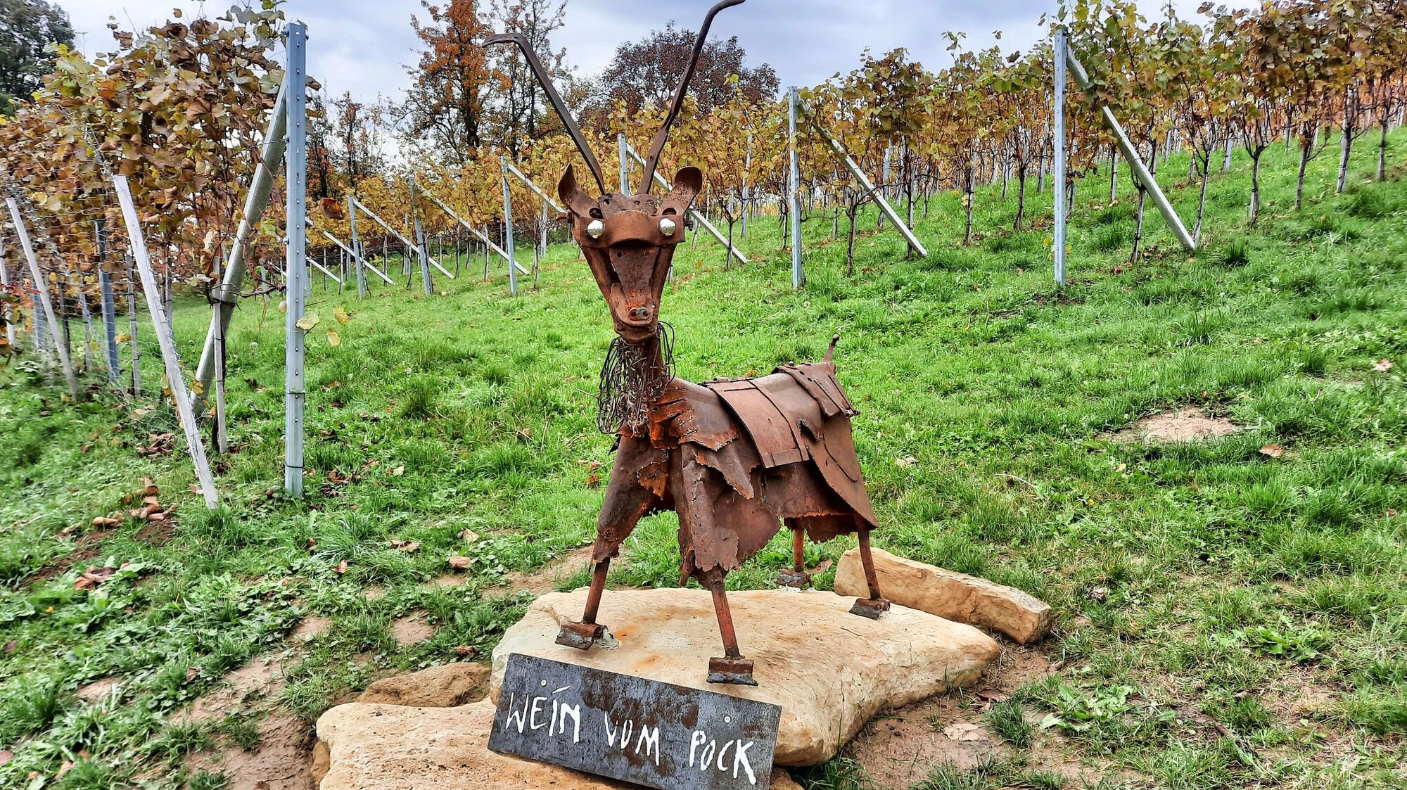
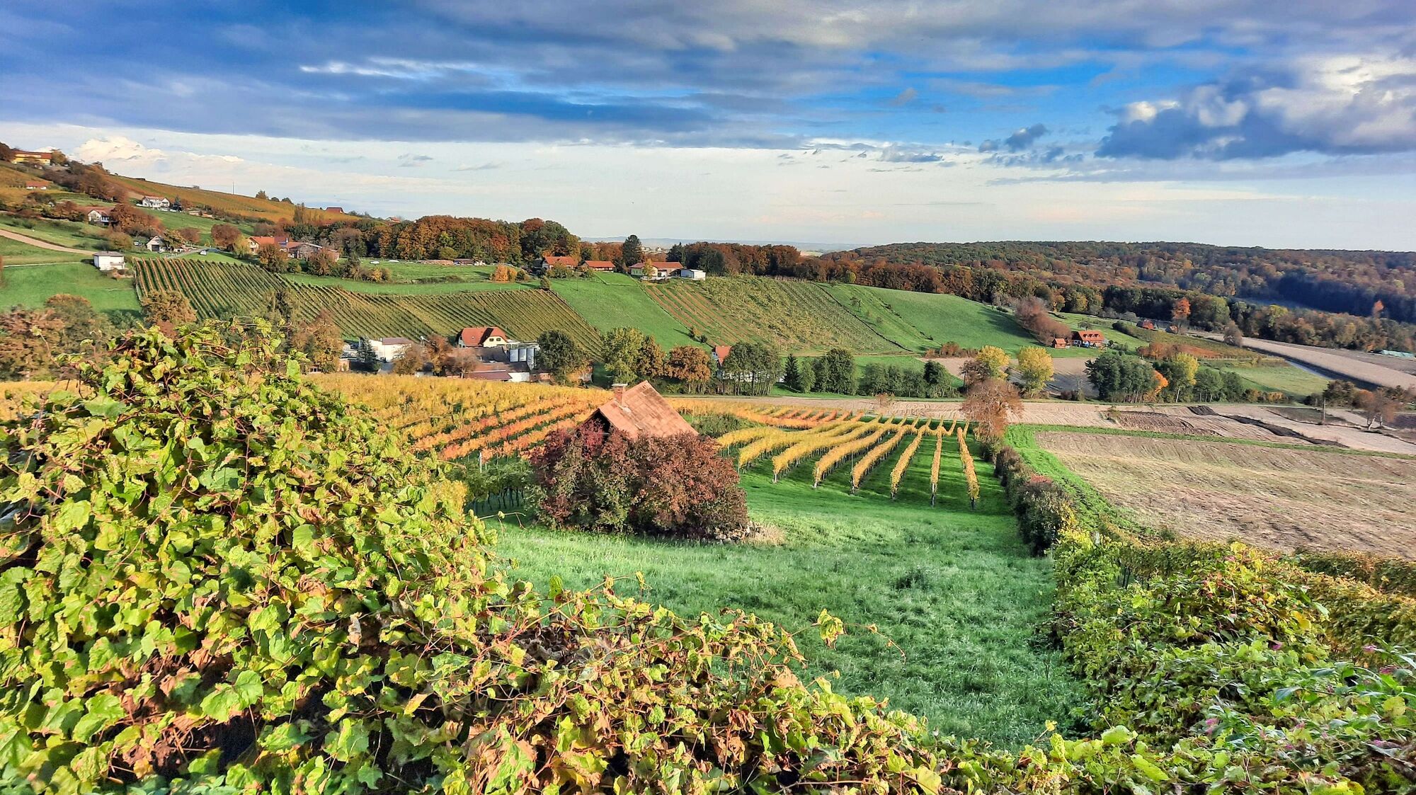
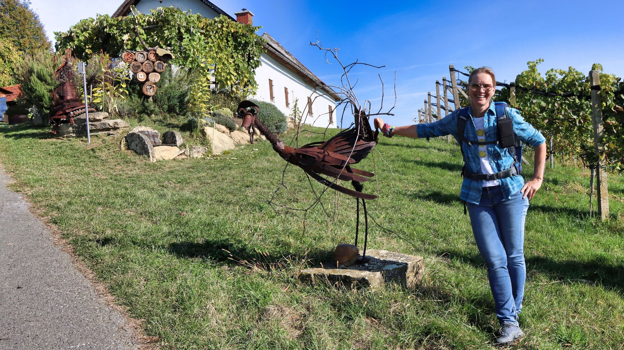
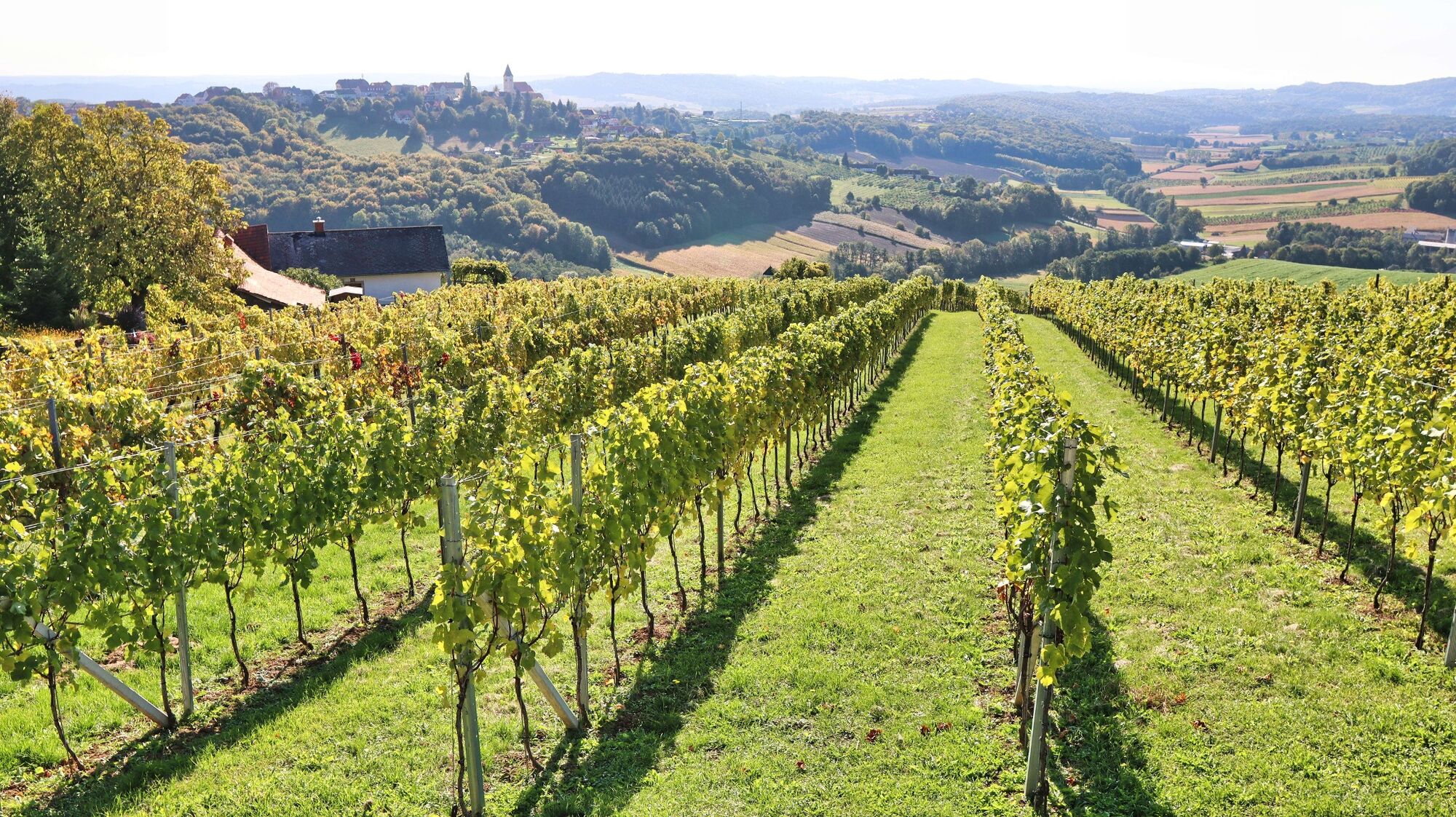
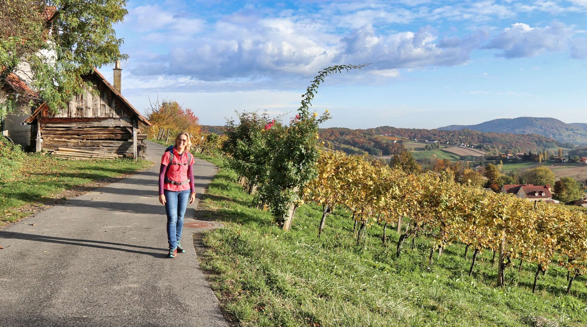
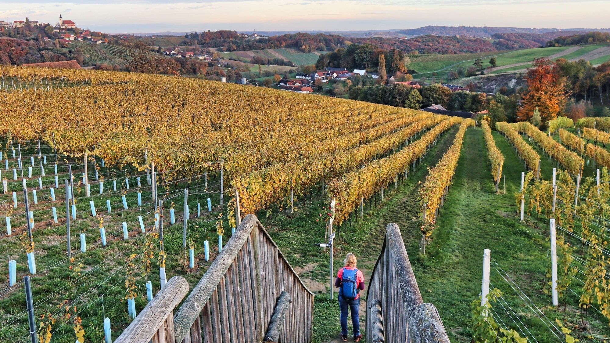
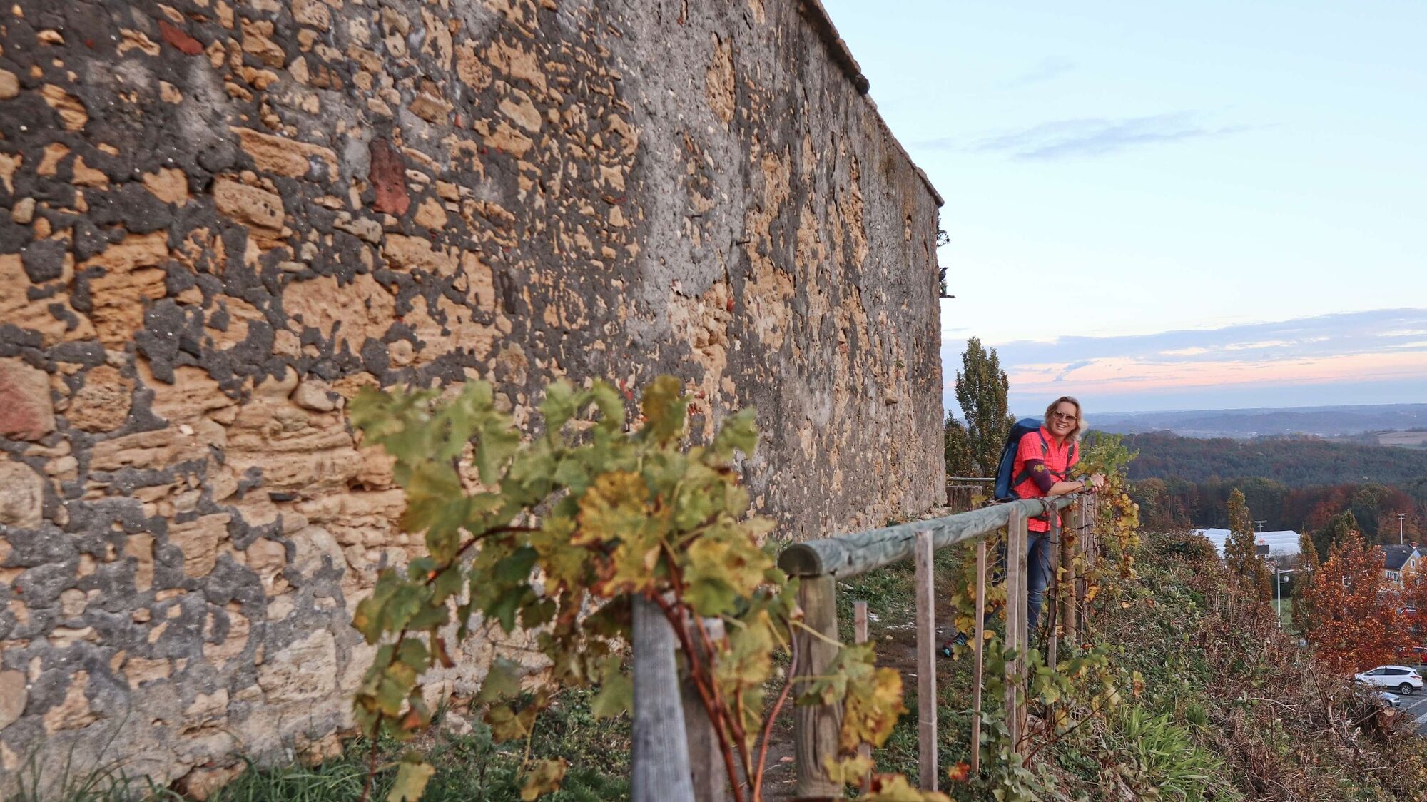
A theme trail par excellence - the wine trail is dedicated to Styrian wine in St. Anna am Aigen in the thermal and volcanic region of Styria.
- Stopień trudności
-
średni
- Ocena
-
- Trasa
-
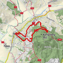
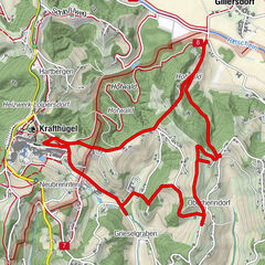
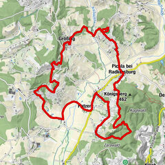
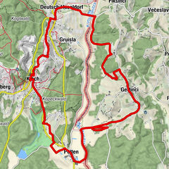
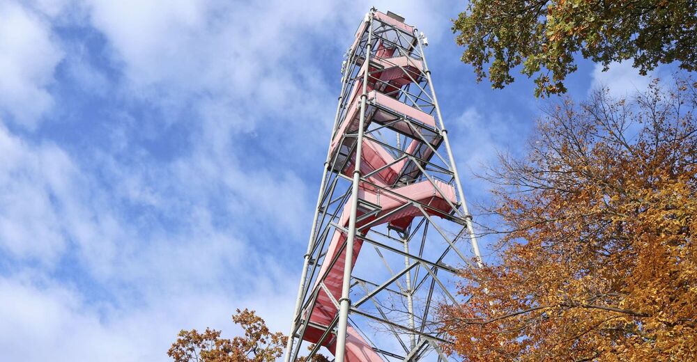
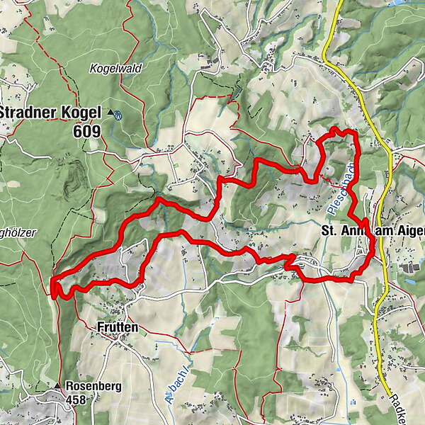
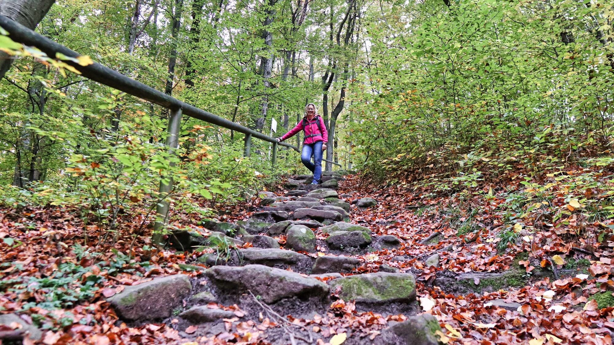
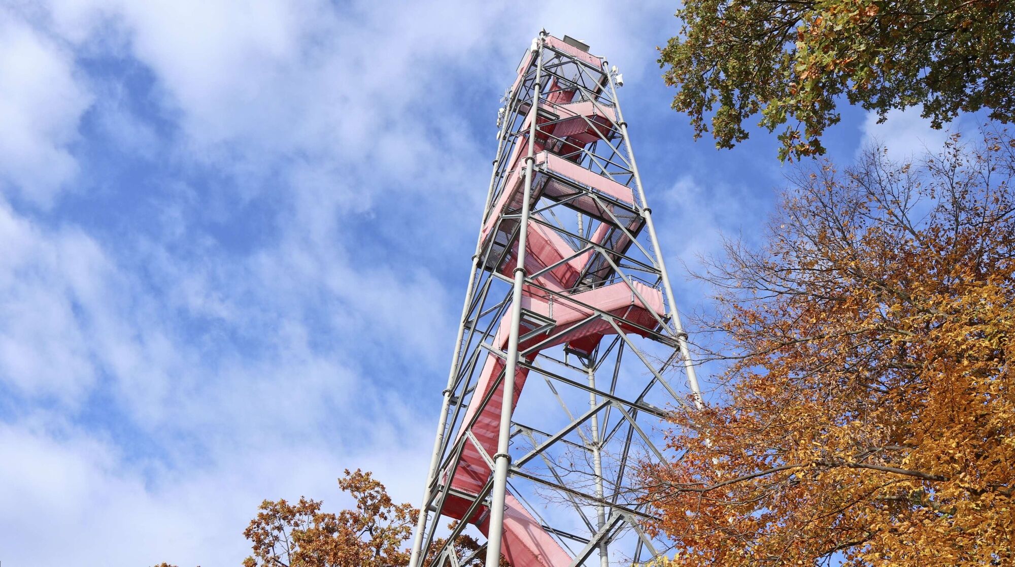
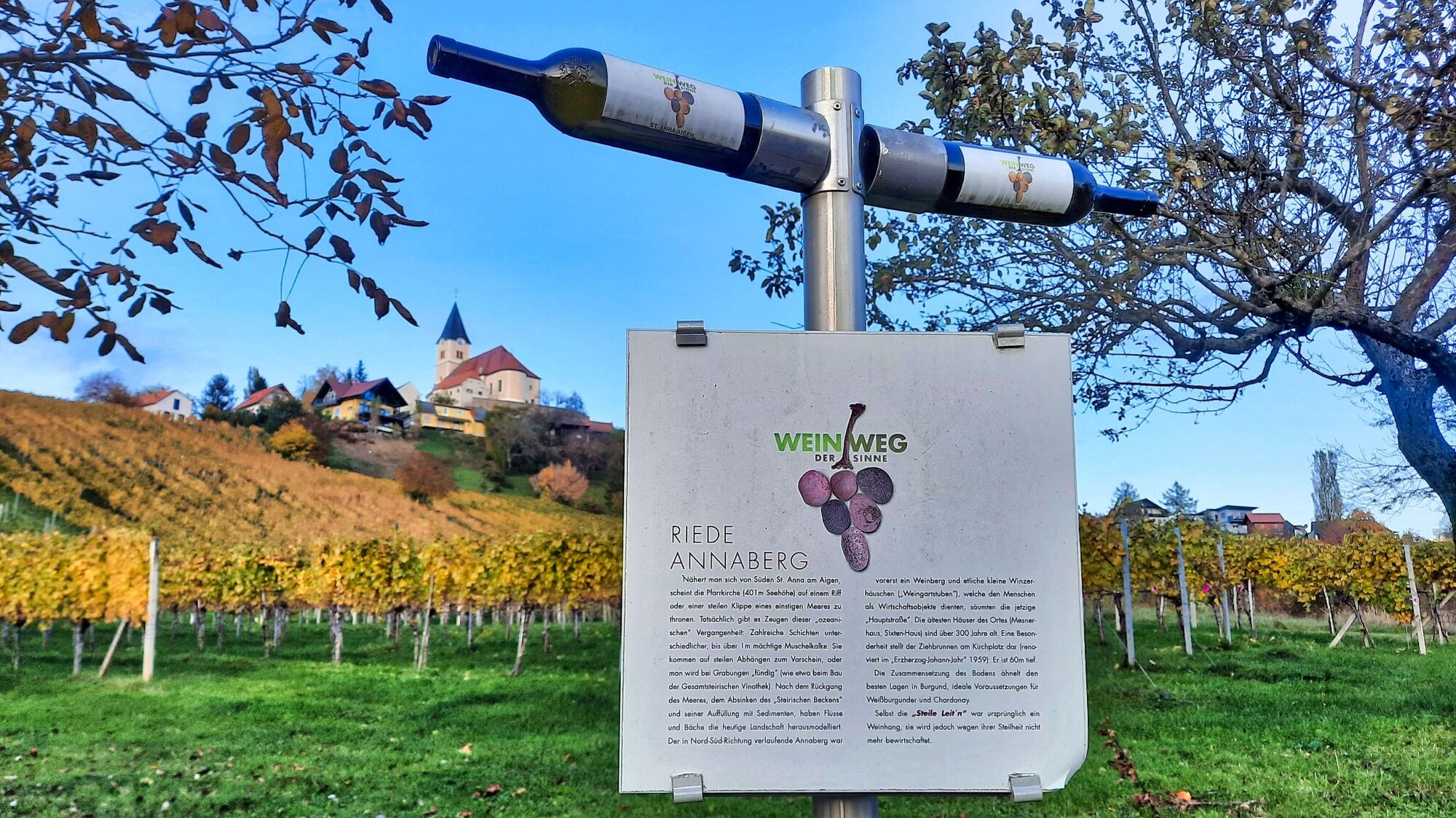
St. Anna am Aigen0,0 kmRutschen0,1 kmBuschenschank Hütter2,2 kmSchemming3,0 kmEisenberg4,4 kmBergheuriger Grenzlandhof6,6 kmGießelsdorfberg6,8 kmRaststation Aussichtswarte7,7 kmGobitsch10,9 kmDamberg11,2 kmPlesch12,0 kmBuschenschank Pfeifer13,1 kmPfarrkirche St. Anna13,5 kmRutschen13,6 kmSt. Anna am Aigen13,7 km
- Najlepszy sezon
-
stylutmarkwimajczelipsiewrzpaźlisgru
- Najwyższy punkt
- 481 m
- Miejsce docelowe
-
In the center of St. Anna am Aigen / Municipal Office
- Profil wysokości
-

- Autor
-
Wycieczka Wine trail of the senses (Weinweg der Sinne) in St. Anna jest używany przez outdooractive.com pod warunkiem.
GPS Downloads


Informacje ogólne
Przystanek odświeżania
Kulturalny/Historyczny
Flora
Obiecujący
Więcej wycieczek w regionach
-
Oststeiermark
2126
-
Bad Gleichenberg
372
-
St. Anna am Aigen
131