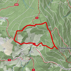
In the footsteps of Peter Rosegger - On the Planet Trail

Trasa tematyczna

Dane wycieczki
15,98km
856
- 1.769m
896hm
872hm
05:30h

- Krótki opis
-
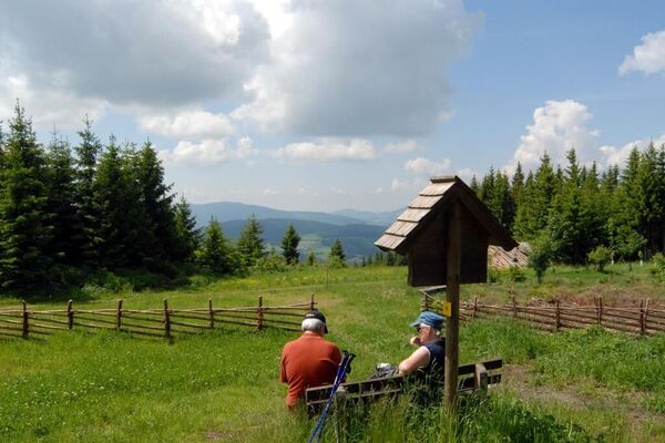
An extended, but through the numerous stations comfortable hike to the highest peak on the eastern edge of the Alps, the Stuhleck. The panoramic view extends from the summit as well as on parts of the ascent from Hochschwab over the Gesäuse, the Rax massif to the Pannonian lowlands with the offshore eastern Styria.
- Stopień trudności
-
ciężkie
- Ocena
-
- Trasa
-
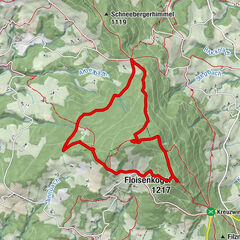
RetteneggSticklberg0,6 kmStuhleck (1.782 m)6,8 kmRennbauerhöhe (1.369 m)10,7 kmForellengasthof Joglland15,1 kmRettenegg15,9 km
- Najlepszy sezon
-
stylutmarkwimajczelipsiewrzpaźlisgru
- Najwyższy punkt
- 1.769 m
- Miejsce docelowe
-
Stuhleck / Alois Günther House
- Profil wysokości
-
-
-
AutorWycieczka In the footsteps of Peter Rosegger - On the Planet Trail jest używany przez outdooractive.com pod warunkiem.
GPS Downloads
Informacje ogólne
Przystanek odświeżania
Kulturalny/Historyczny
Flora
Fauna
Obiecujący
Więcej wycieczek w regionach
-
Hochsteiermark
4083
-
Waldheimat
2198
-
Rettenegg
459

