© Erlebnisregion Thermen- & Vulkanland - Conterfei

© Erlebnisregion Thermen- & Vulkanland - Bernhard Bergmann

© Erlebnisregion Thermen- & Vulkanland - Christine Neuhold

© Erlebnisregion Thermen- & Vulkanland - Roman Schmidt

© TV Thermen- & Vulkanland - Bernhard Bergmann

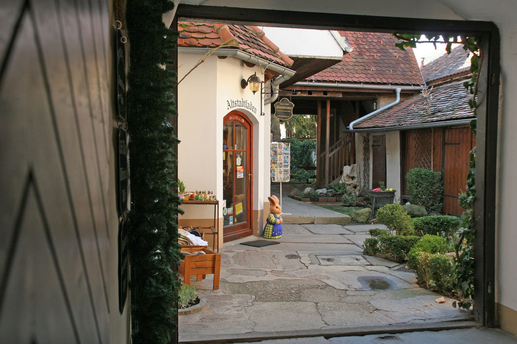
© Erlebnisregion Thermen- & Vulkanland - Altstadtladen

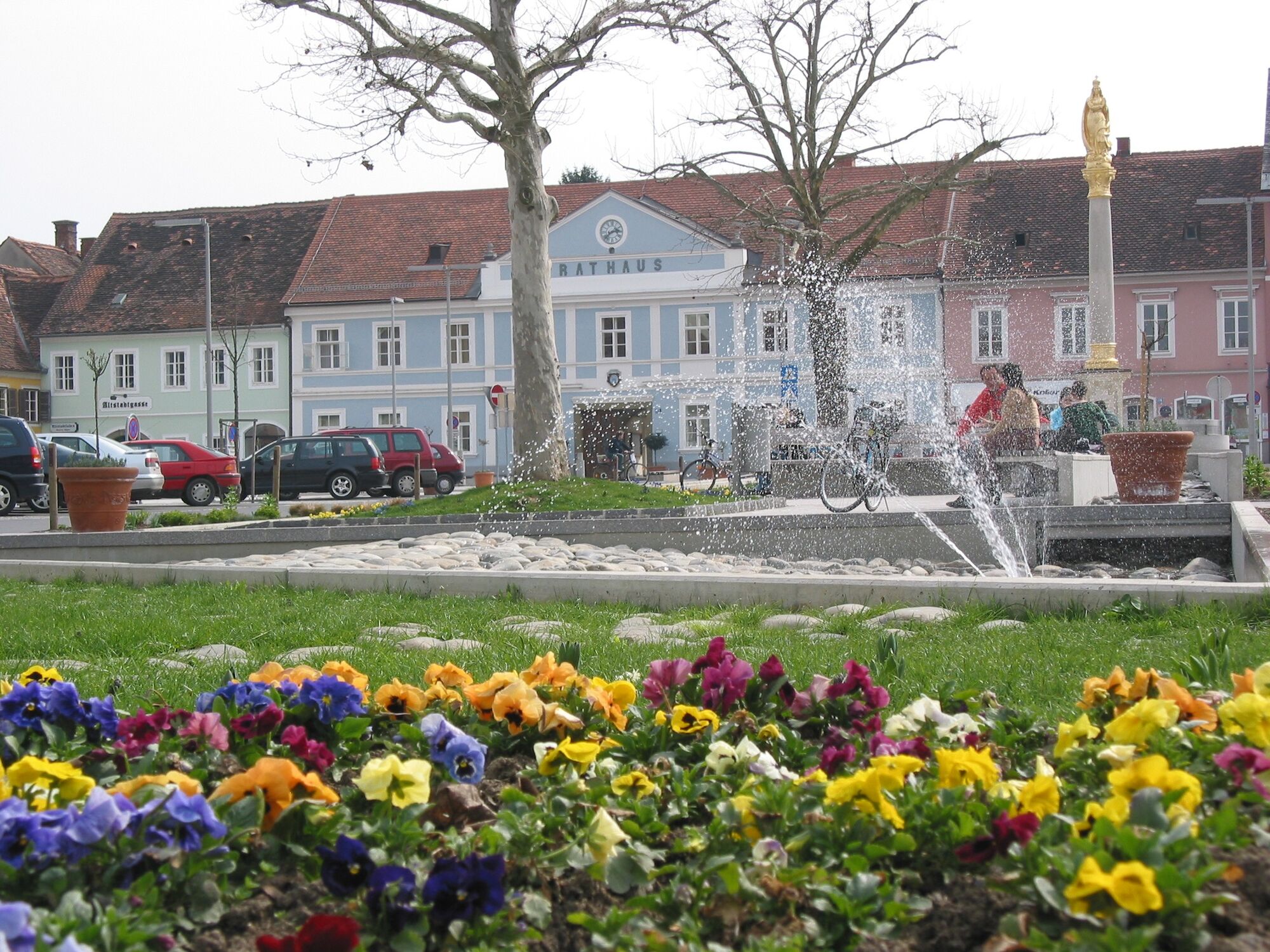
© Feldbach | Thermen- & Vulkanland Steiermark - Christine Neuhold

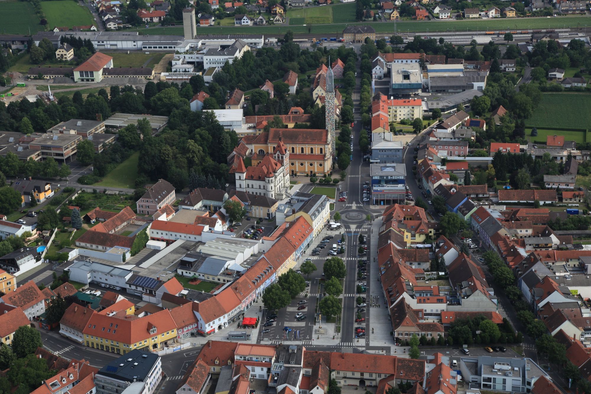
© Erlebnisregion Thermen- & Vulkanland - Stadtgemeinde Feldbach

© Erlebnisregion Thermen- & Vulkanland - Bäckerei-Konditorei-Café

© Erlebnisregion Thermen- & Vulkanland - Sepp Hödl
- Krótki opis
-
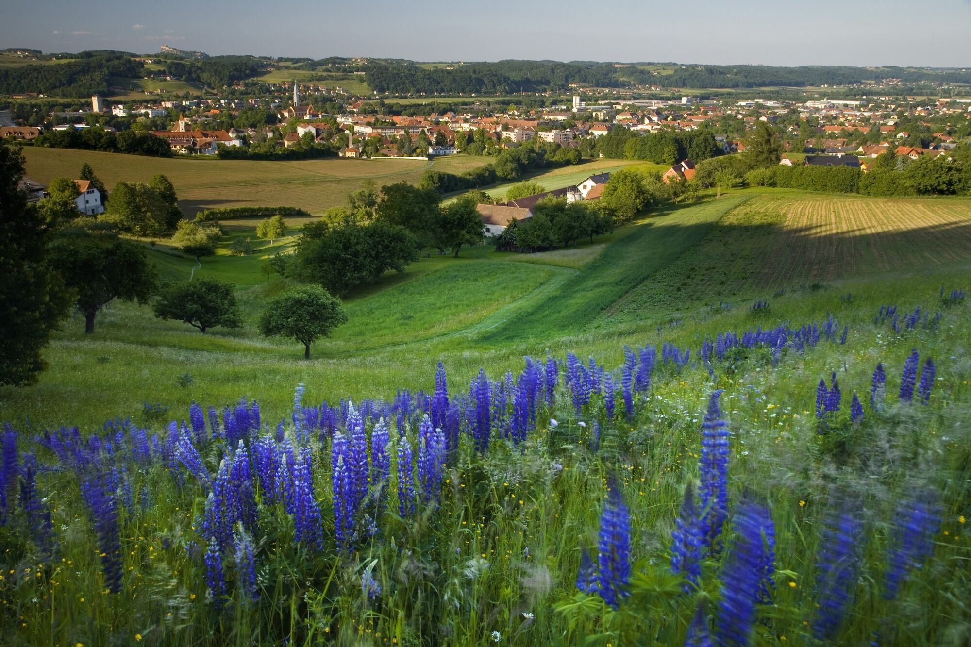
The network of hiking trails on the "traces of the volcanoes" in Thermen- & Vulkanland Steiermark shows the image of a man. A buffet of pictures opens up between extinct volcanoes.
- Stopień trudności
-
średni
- Ocena
-
- Trasa
-
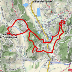
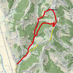
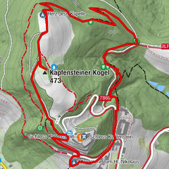
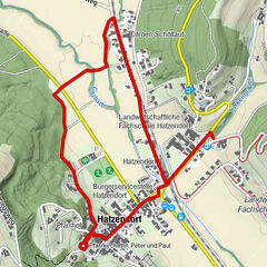
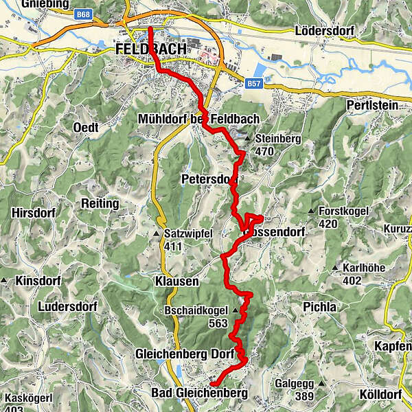
FeldbachStadtpfarrkirche St. Leonhard0,2 kmFeldbach0,6 kmMühldorf bei Feldbach3,3 kmWiesbüchel7,8 kmKulmberghof9,2 kmEdelweißwarte12,7 kmBad Gleichenberg15,0 km
- Najlepszy sezon
-
stylutmarkwimajczelipsiewrzpaźlisgru
- Najwyższy punkt
- 494 m
- Miejsce docelowe
-
Train station Bad Gleichenberg
- Profil wysokości
-


- Autor
-
Wycieczka Backbone (Rückgrat) / Feldbach-Bad Gleichenberg jest używany przez outdooractive.com pod warunkiem.
GPS Downloads


Informacje ogólne
Przystanek odświeżania
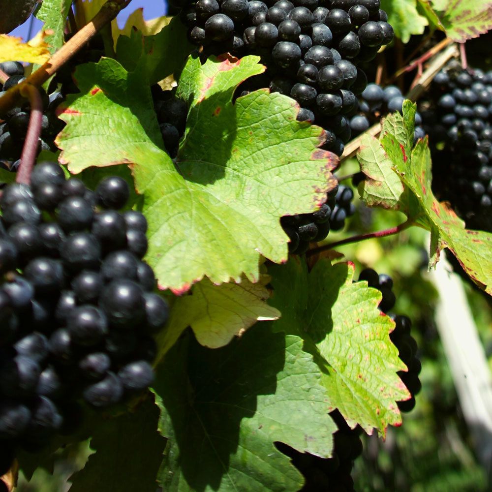
Flora
Fauna
Obiecujący
Więcej wycieczek w regionach
-
Oststeiermark
2125
-
Bad Gleichenberg
371
-
Bad Gleichenberg
154