© Region Graz - Meike Brucher

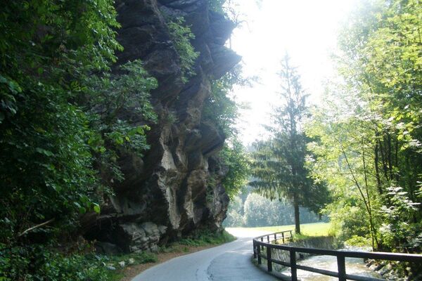
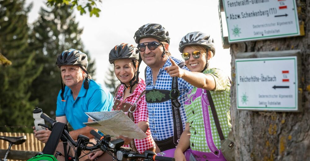
© Tourismusregion Stübing I Deutschfeistritz I Peggau I Übelbach, Foto Lunghammer - Markus Windisch

© Tourismusregion Stübing I Deutschfeistritz I Peggau I Übelbach, Foto Lunghammer - Markus Windisch

© Tourismusregion Stübing I Deutschfeistritz I Peggau I Übelbach, Foto: Lunghammer - Markus Windisch

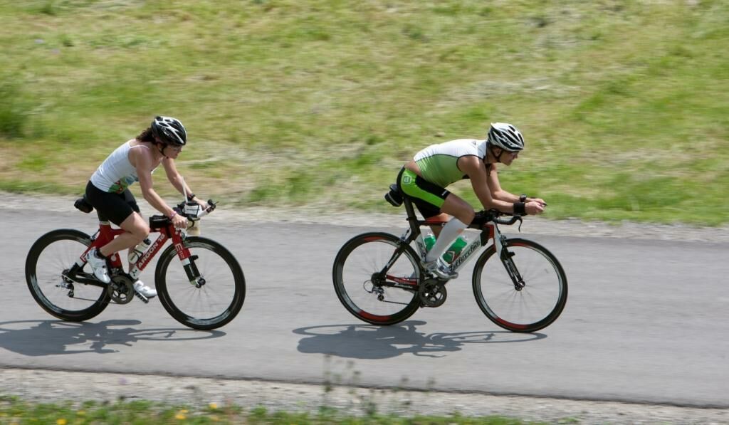
© Region Graz - Meike Brucher

© Region Graz - Meike Brucher

© Region Graz - Meike Brucher

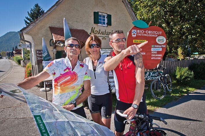
© Region Graz - Meike Brucher

- Krótki opis
-
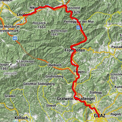
Cycling along the Mur and through the Graz Region is as popular as ever. Pass-hopping in the foothills of the Gleinalpe mountain chain is a classic for bikers who like it strenuous.
- Stopień trudności
-
ciężkie
- Ocena
-
- Trasa
-
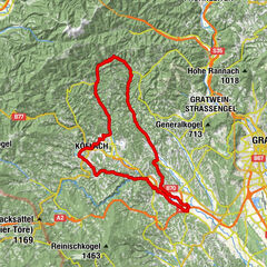
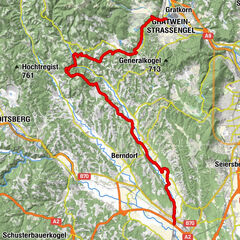
Deutschfeistritz0,0 kmGasthaus Adler0,1 kmMostschenke Fattingerhof2,1 kmKleinstübing2,4 kmStübinggraben7,9 kmGroßstübinger Stub´n11,6 kmGroßstübing11,7 kmHl. Anna11,7 kmÜbelbach19,6 kmMichaelskapelle19,7 kmBrauhaus Großauer19,9 kmGasthaus Luckner22,9 kmPlotscherbauer26,3 kmGasthaus Luckner29,9 kmBrauhaus Großauer32,5 kmÜbelbach32,8 kmMichaelskapelle32,9 kmÜbelbach33,2 kmGuggenbach34,6 kmWaldstein37,7 kmArzwaldgraben39,7 kmEhre sei Gott-Kapelle45,1 kmEbenwirt45,1 kmGams49,9 kmVordere Gams50,4 kmGasthaus Hösele50,6 kmRothleiten51,8 kmLembacher52,1 kmKühau52,6 kmLorenz Born Tatkraftsquelle53,0 kmSchönau53,7 kmFrohnleiten54,0 kmMariä Himmelfahrt54,2 kmRabenstein57,7 kmÜberhangshöhle62,2 kmSchichtfugenhöhle62,2 kmNischenhöhle62,3 kmDeutschfeistritz65,8 km
- Najlepszy sezon
-
stylutmarkwimajczelipsiewrzpaźlisgru
- Najwyższy punkt
- 1.143 m
- Miejsce docelowe
-
Peggau/Deutschfeistritz railway station
- Profil wysokości
-


-

-
AutorWycieczka Pass-hopping in the Graz Region jest używany przez outdooractive.com pod warunkiem.
GPS Downloads


Informacje ogólne
Obiecujący
Więcej wycieczek w regionach
-
Erlebnisregion Graz
261
-
OberGraz
88
-
Übelbach
15