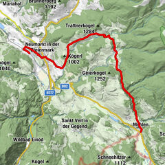
Dane wycieczki
11,72km
754
- 828m
98hm
98hm
00:39h
- Krótki opis
-
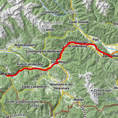
Der Katschtalradweg führt aus dem Boden des Murtales bei Frojach in den mittleren Teil des breiten Katschtales hinein.
- Stopień trudności
-
łatwe
- Ocena
-
- Punkt wyjścia
-
Frojach
- Trasa
-
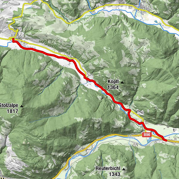
FrojachUnterdorf1,3 kmKatsch an der Mur1,6 kmAlthofen5,9 kmFilialkirche hl. Bartholomäus6,1 kmPeterdorf7,9 kmSankt Peter am Kammersberg11,2 km
- Najwyższy punkt
- 828 m
- Miejsce docelowe
-
St. Peter am Kammersberg
- Mapy
-
Datenqualität gpx:
luftbildgenau, qualitätsgeprüft, Stand 20.08.2014
GPS Downloads


Pasy ruchu
Asfalt
Żwir
Las
Szlaki górskie
Wyprawy singletrails
Trial
Komunikacja
Więcej wycieczek w regionach