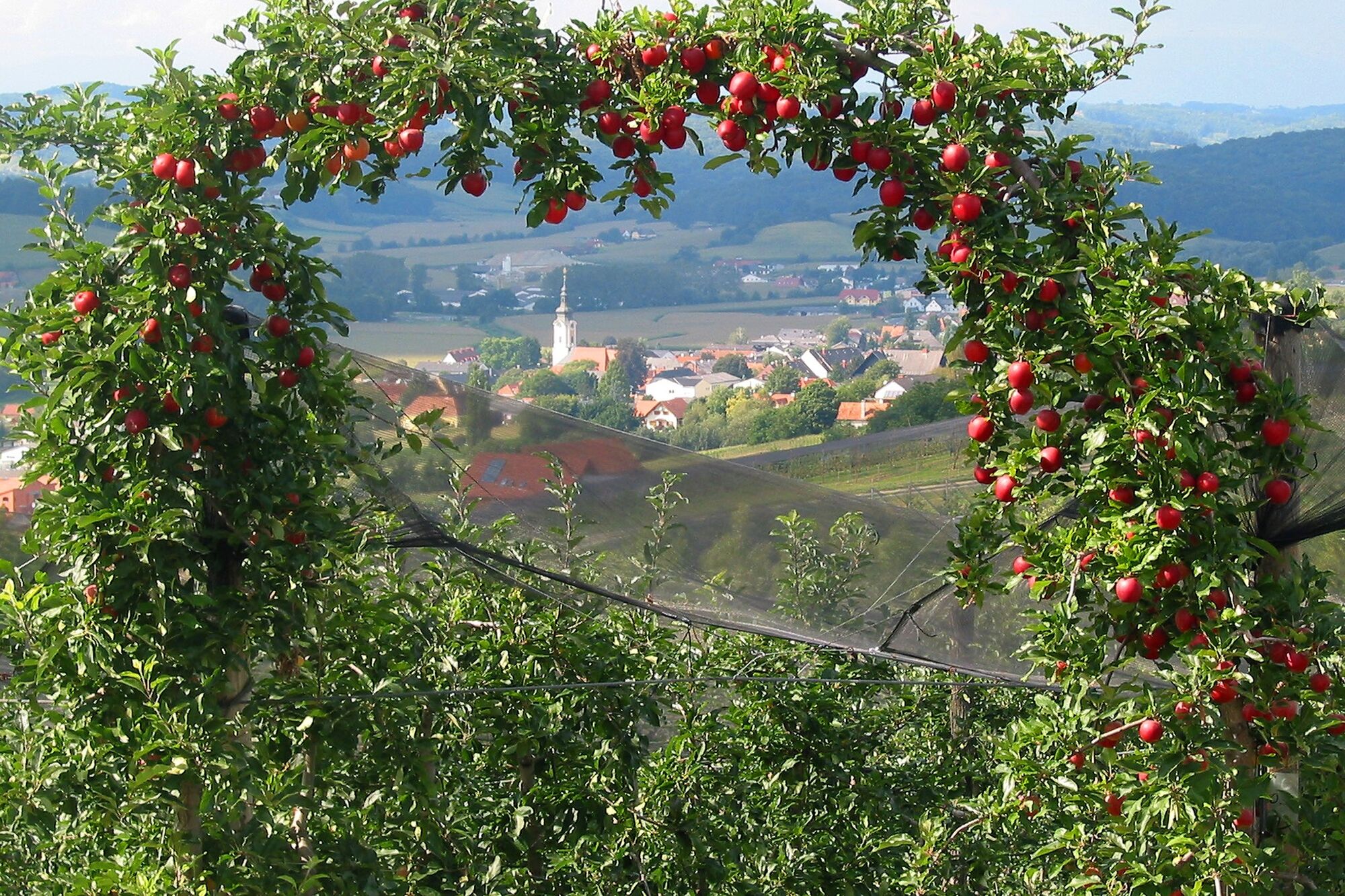
© Marktgemeinde Gnas

© Pechmanns alte Ölmühle

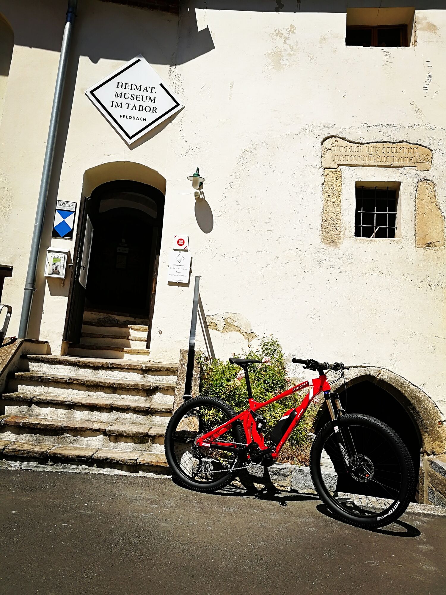
© Zweirad Matzer

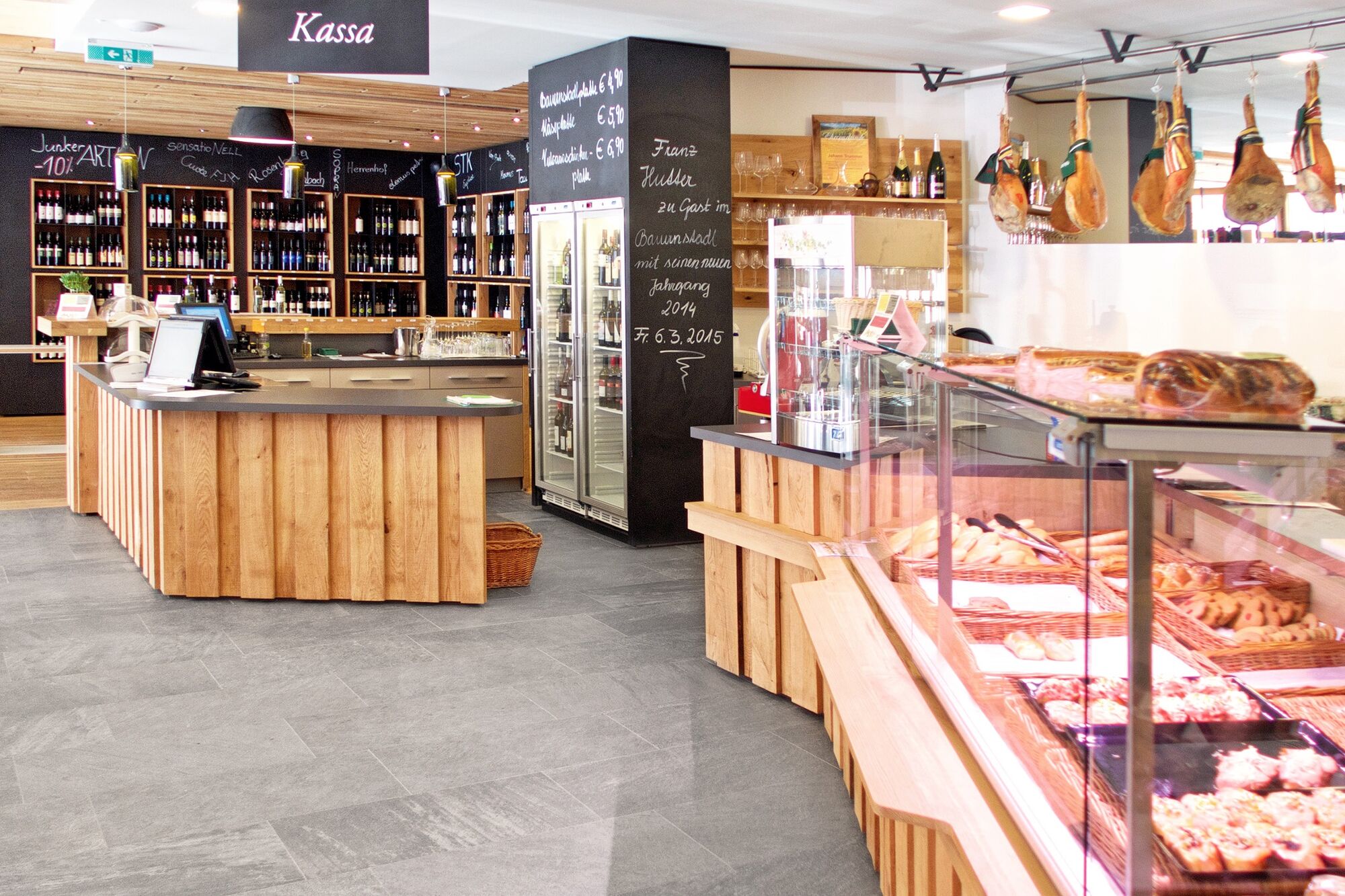
© Bauernstadl Feldbach

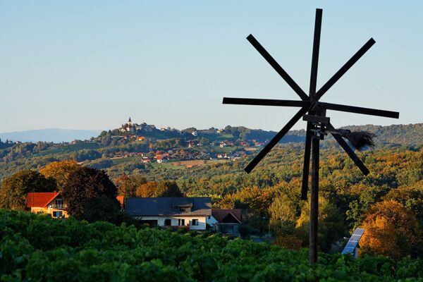
© Erlebnisregion Thermen- & Vulkanland - Daniela Neubauer
- Krótki opis
-
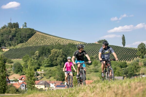
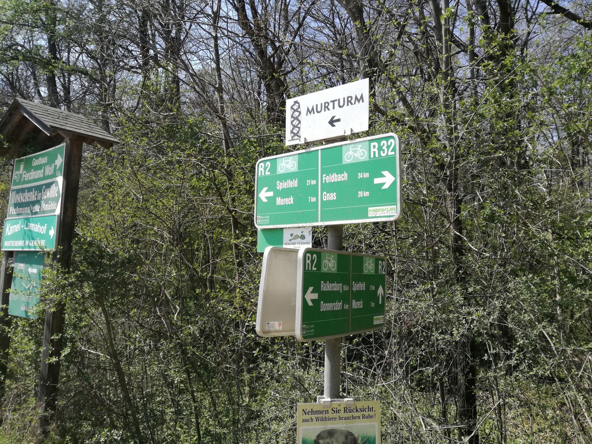
This bike path is a connection between the Raabtalradweg R11 and the Murradweg R2 at the Slovenian border. From Gnas it goes on gravel roads along the Gnasbach stream to Deutsch Goritz and then continues on asphalt to the finish at the Murradweg.
- Stopień trudności
-
średni
- Ocena
-
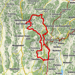
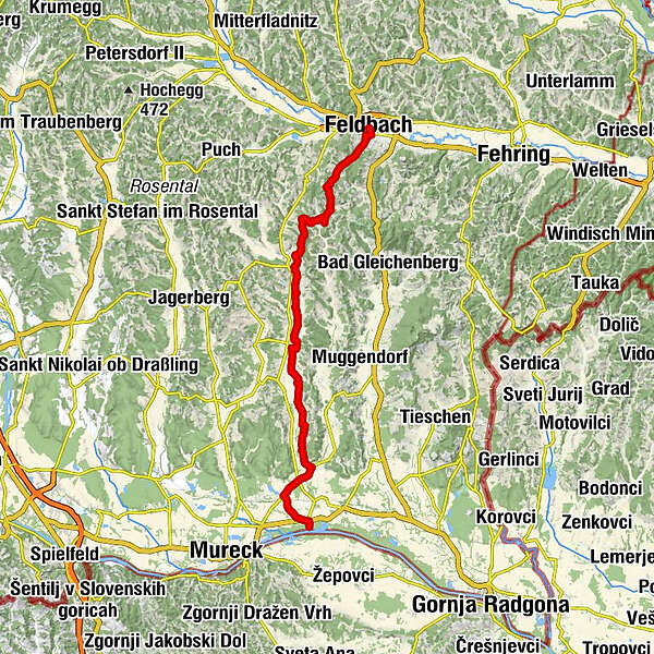
- Trasa
-
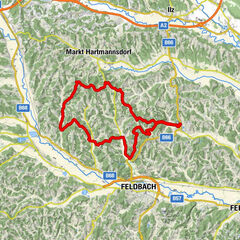
Feldbach0,3 kmOedt3,2 kmHirsdorf5,8 kmKinsdorf7,9 kmKogelegg (405 m)9,4 kmGasthaus Kurzweil13,6 kmGnas13,6 kmPfarrkirche hl. Maria13,8 kmMarktheuriger14,1 kmRaning15,1 kmGrabersdorf17,4 kmTrössing19,9 kmKrobathen26,4 kmUnterspitz28,2 kmDeutsch Goritz29,6 kmKirche Deutsch Goritz29,7 kmGasthaus Bader29,8 kmRatschendorf30,9 kmHoferwirt, Gasthaus Fasching31,0 kmDiepersdorf33,4 km
- Najlepszy sezon
-
stylutmarkwimajczelipsiewrzpaźlisgru
- Najwyższy punkt
- 389 m
- Miejsce docelowe
-
Diepersdorf - Anschluss an den R2
- Profil wysokości
-

- Autor
-
Wycieczka R32 Gnas Valley Bike Path (R32 Gnastal Radweg) jest używany przez outdooractive.com pod warunkiem.
GPS Downloads


Informacje ogólne
Przystanek odświeżania
Więcej wycieczek w regionach
-
Oststeiermark
377
-
Bad Gleichenberg
168
-
Gnas
49