© TV Gesäuse - Tourismusverband Gesäuse

© TV Gesäuse - Tourismusverband Gesäuse

© TV Gesäuse - Tourismusverband Gesäuse

© TV Gesäuse - Tourismusverband Gesäuse

© TV Gesäuse - Tourismusverband Gesäuse

© TV Gesäuse - Tourismusverband Gesäuse

© TV Gesäuse - Tourismusverband Gesäuse

© TV Gesäuse - Tourismusverband Gesäuse

© TV Gesäuse - Tourismusverband Gesäuse

© TV Gesäuse - Tourismusverband Gesäuse

- Krótki opis
-
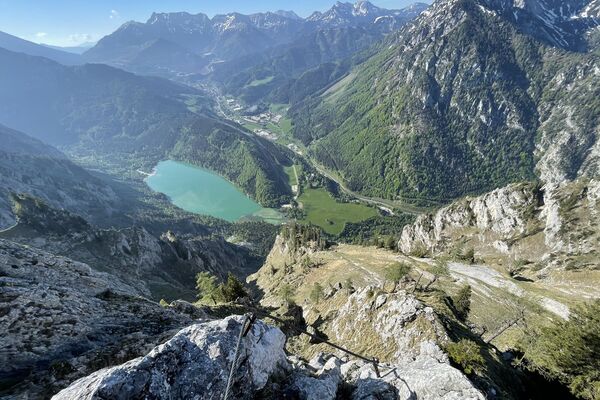
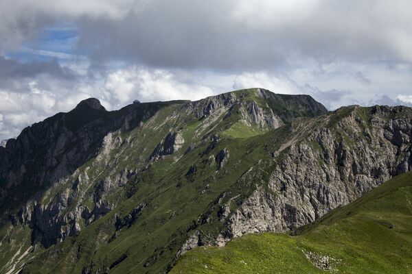
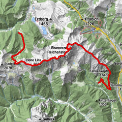
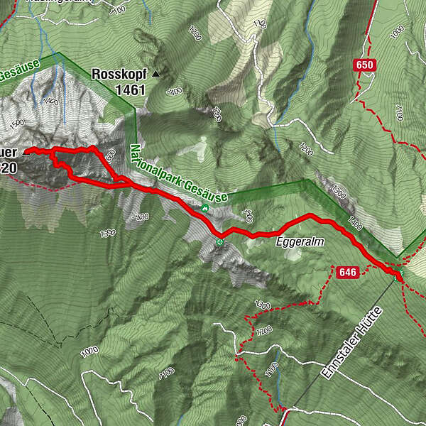
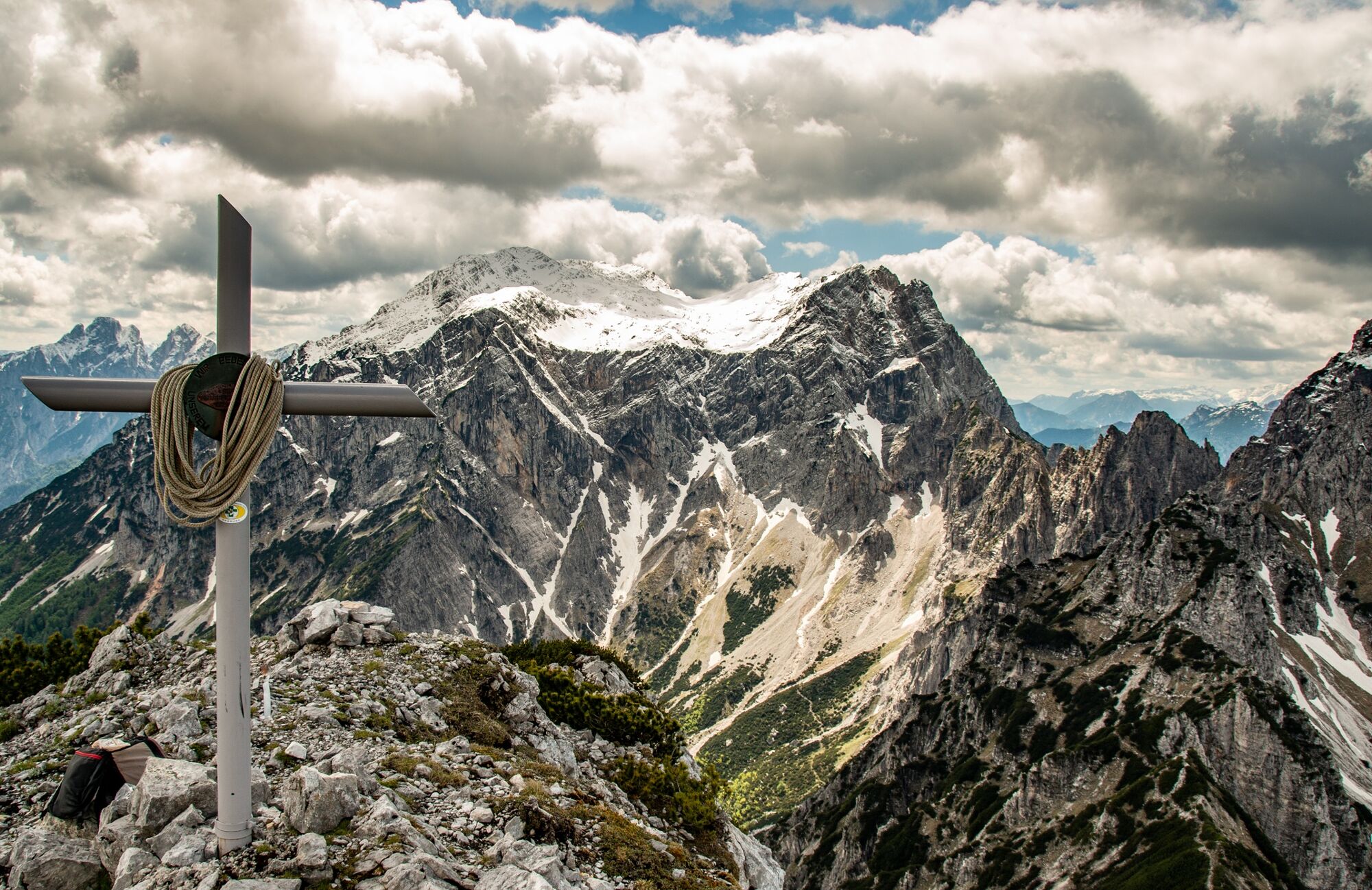
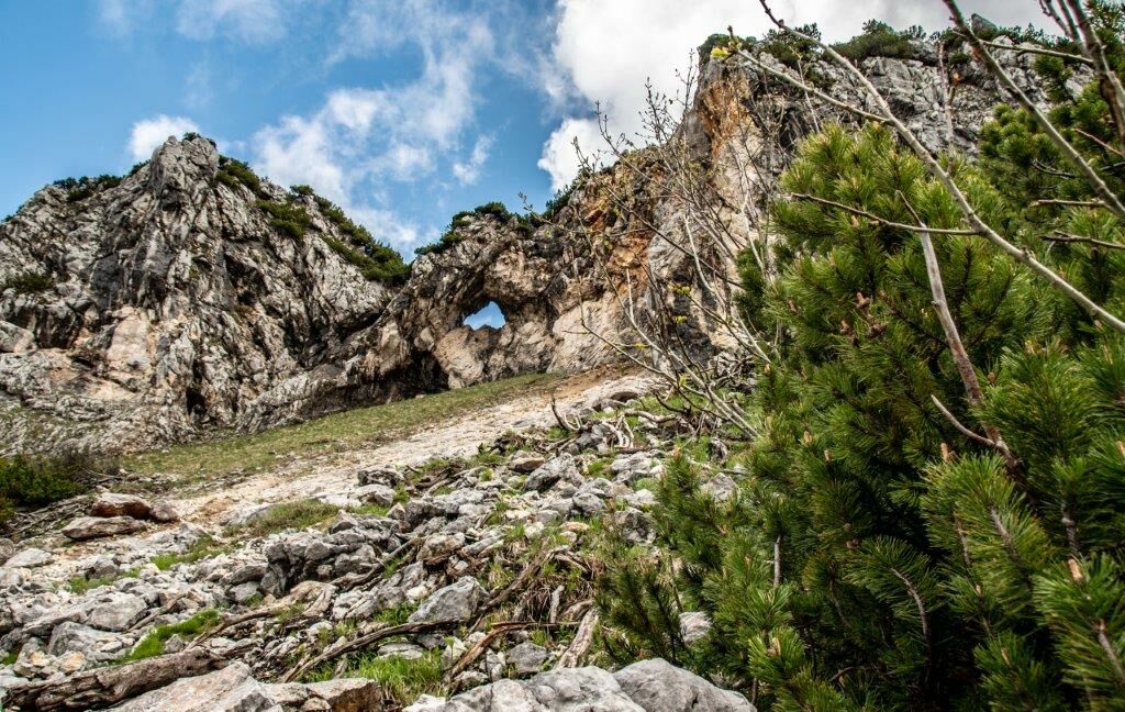
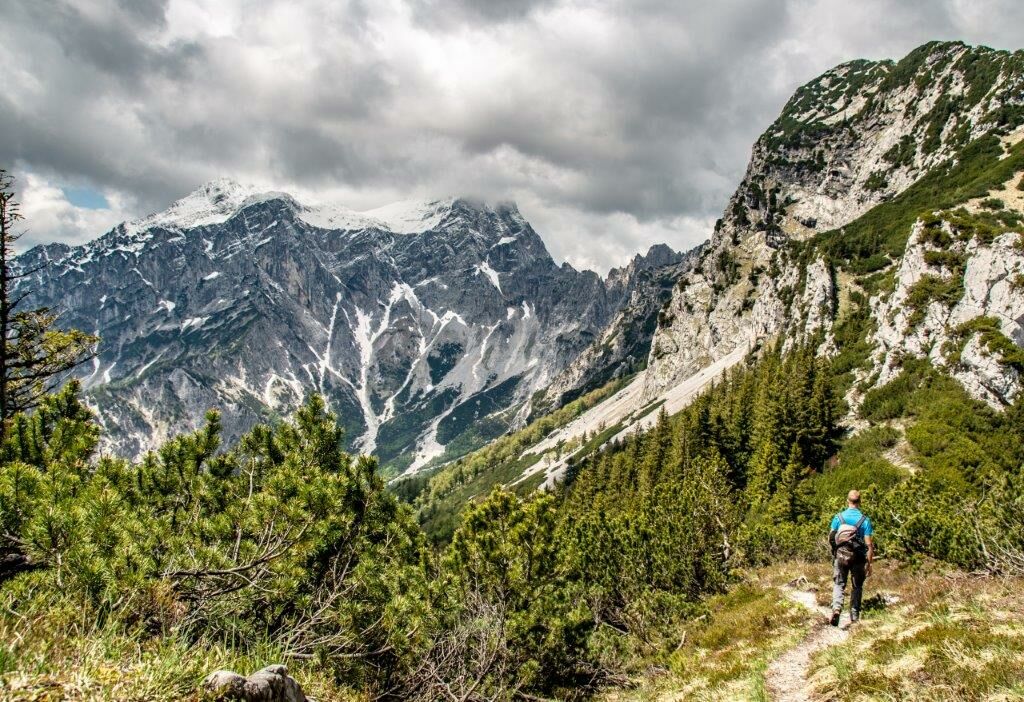
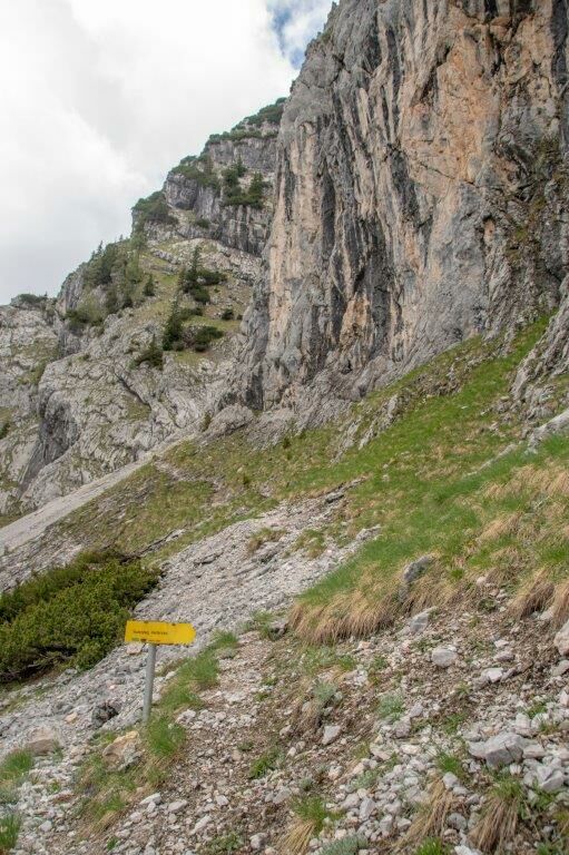
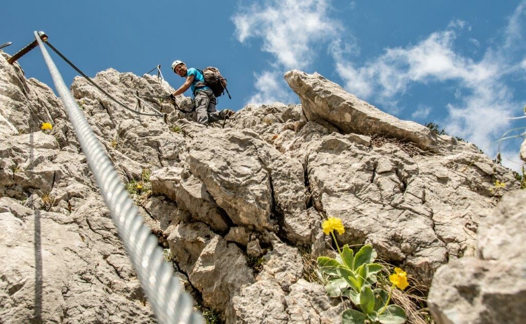
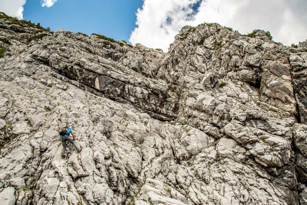
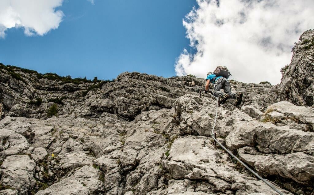
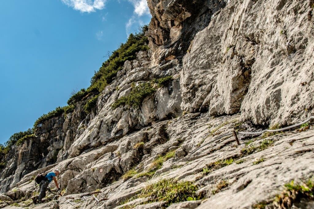
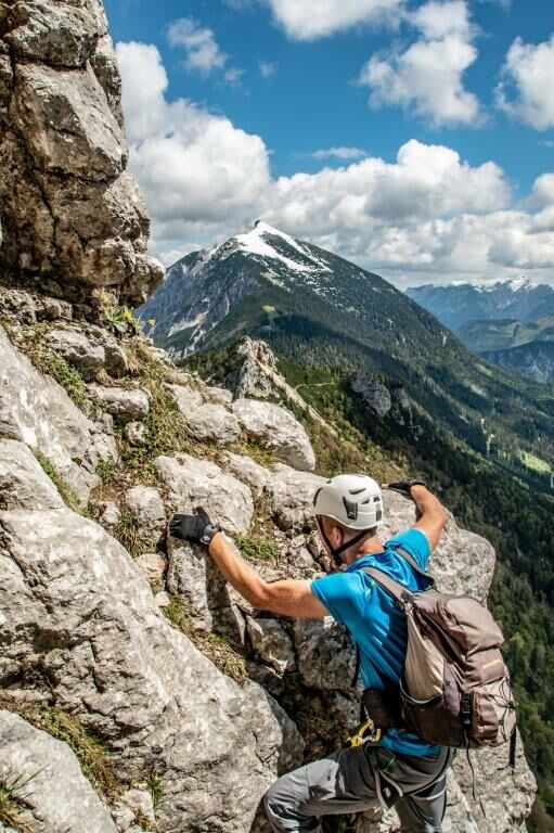
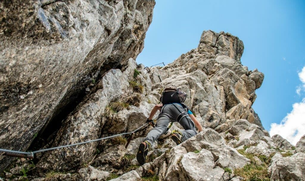
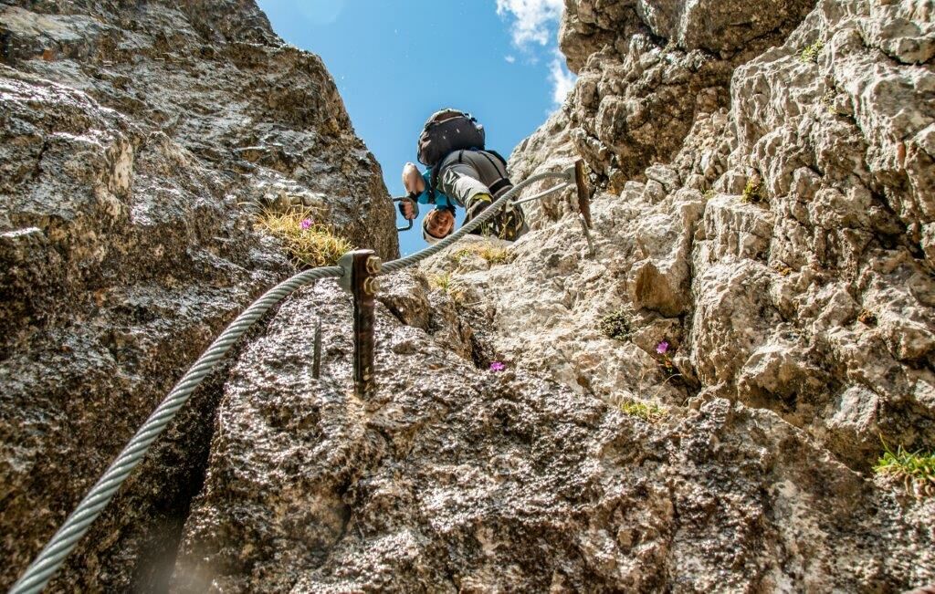
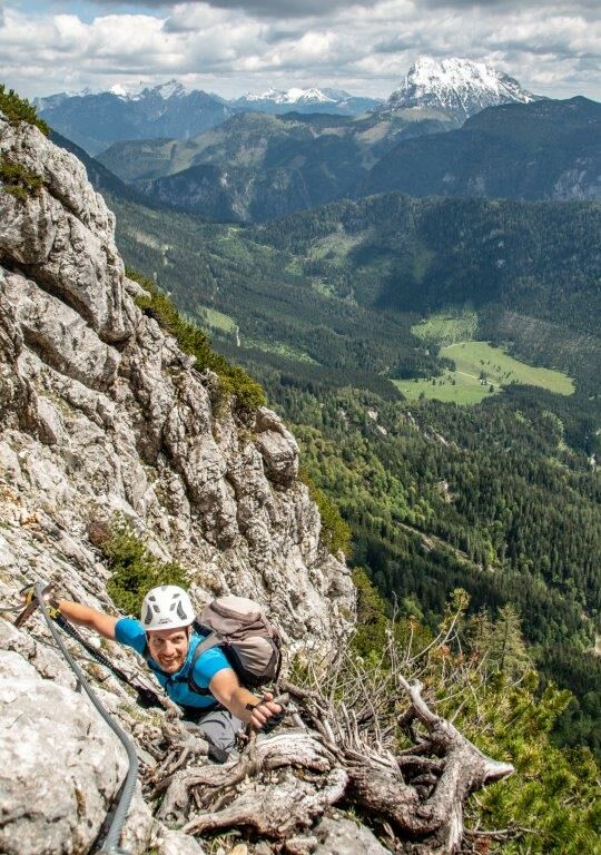
Ennstaler Hütte - Teufelssteig to the summit of the Tieflimauer.
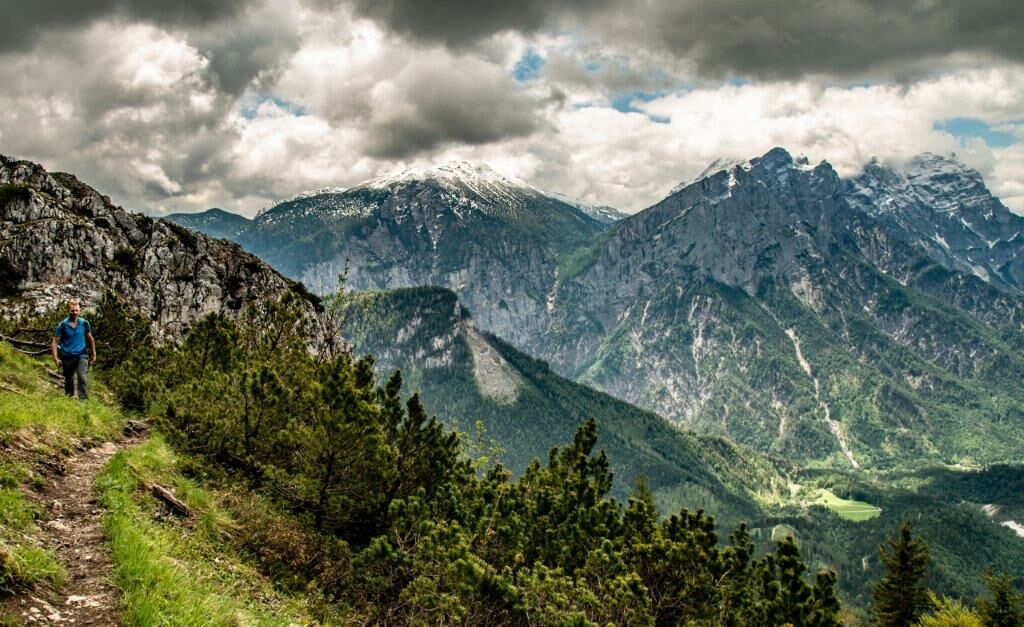
Descent on the normal path back to the hut.
Topo on : https://www.bergsteigen.com/touren/klettersteig/teufelsteig/
- Stopień trudności
-
ciężkieStopień trudności C
- Ocena
-
- Trasa
-
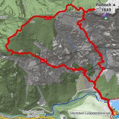
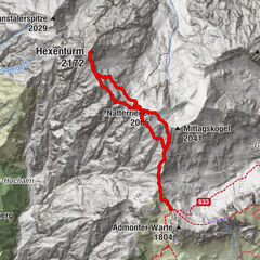
Ennstaler Hütte0,0 kmTieflimauer (1.820 m)2,9 kmEnnstaler Hütte5,7 km
- Najlepszy sezon
-
stylutmarkwimajczelipsiewrzpaźlisgru
- Najwyższy punkt
- 1.795 m
- Miejsce docelowe
-
Ennstalerhütte
- Exposition
- Profil wysokości
-

-

-
AutorWycieczka Teufelsteig / Tieflimauer jest używany przez outdooractive.com pod warunkiem.
GPS Downloads


Więcej wycieczek w regionach