© Oststeiermark Tourismus - Schiffer

© Oststeiermark Tourismus - TV Joglland-Waldheimat

© Oststeiermark Tourismus - TV Joglland-Waldheimat

© Oststeiermark Tourismus - Birgit Kandlbauer

© Oststeiermark Tourismus - Tourismusverband Oststeiermark

© Oststeiermark Tourismus - TV Jofglland-Waldheimat
- Krótki opis
-
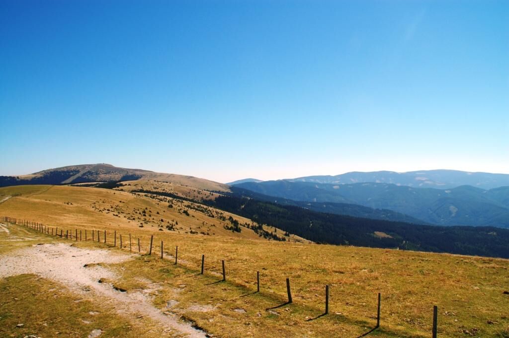
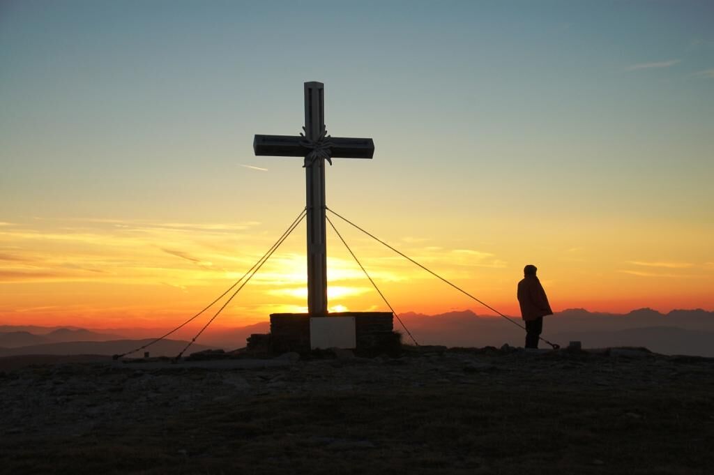
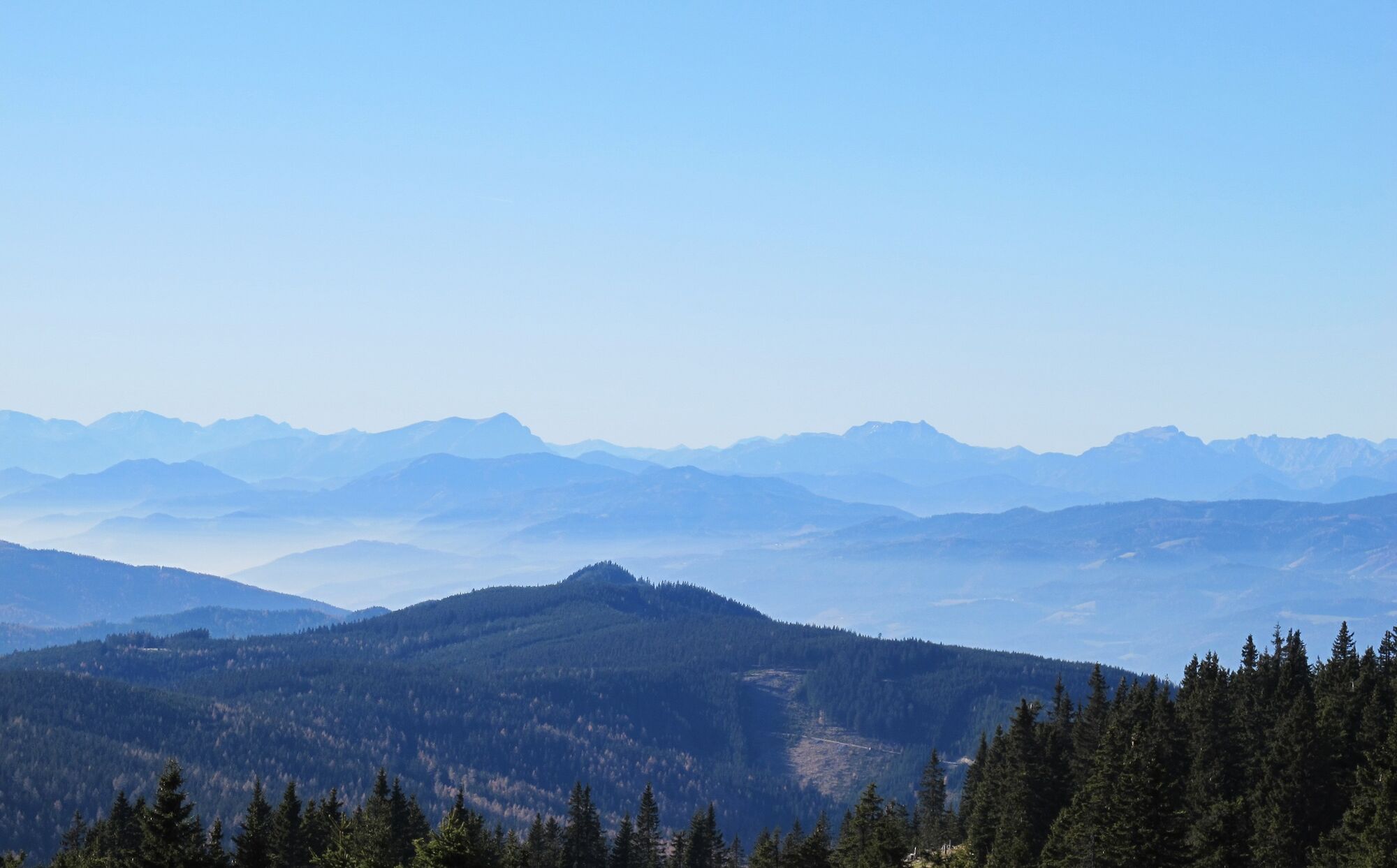
Especially on the second day, quite a long and physically demanding, but technically not too difficult hike across the entire Fischbach Alps. Many sections in the forest, across alpine meadows and along the tree-free ridge between Pretul, Stuhleck and Hochwechsel (not easy to find your way here in bad weather!).
- Stopień trudności
-
ciężkie
- Ocena
-
- Trasa
-
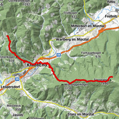
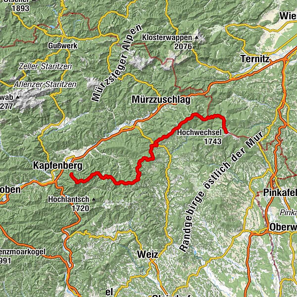
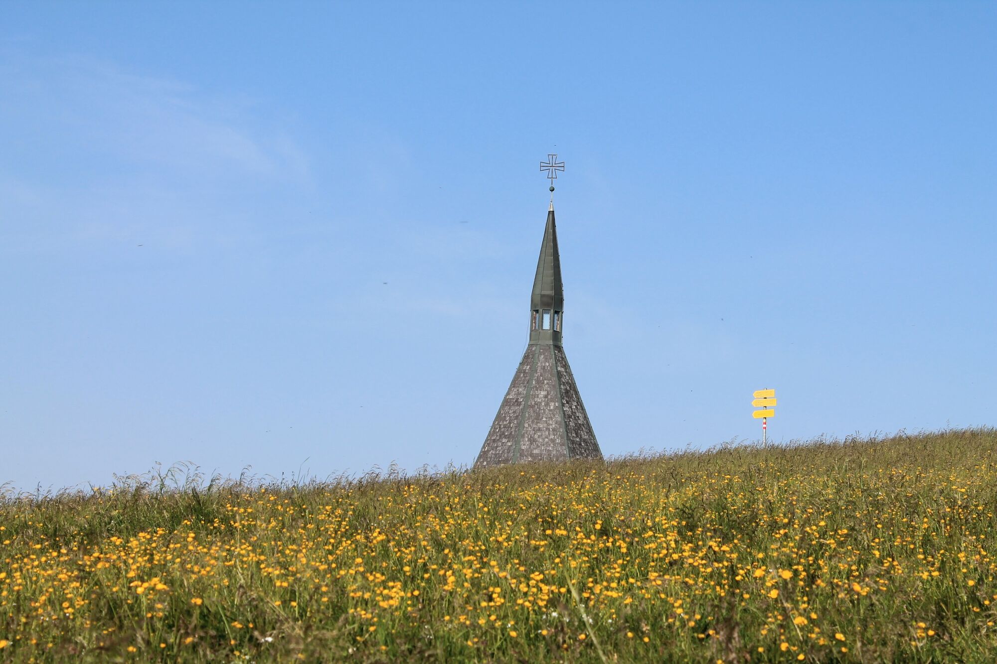
Frauenberg0,1 kmOttokar-Kernstock-Haus3,5 kmRennfeld (1.629 m)3,6 kmBuchecksattel (1.275 m)5,0 kmBucheck (1.315 m)6,6 kmBrandnerkogel (1.308 m)10,6 kmEderkogel (1.098 m)12,8 kmAibel (1.394 m)16,0 kmEbenschlag (1.545 m)17,0 kmHochschlag (1.580 m)18,8 kmMaißhöhe (1.221 m)20,6 kmKnappensattel (1.298 m)26,5 kmKurt Steindl Platzerl30,1 kmGasthaus auf der Schanz33,8 kmSchanzsattel (1.170 m)33,9 kmTeufelstein (1.498 m)36,3 kmTeufelsteinhütte36,9 kmGasthaus Schlagobersbauer43,5 kmGasthof-Pension Schlagobersbauer43,5 kmJäger Höhe (1.227 m)46,4 kmHauereckschutzhütte49,6 kmHauereck (1.292 m)49,8 kmSteinriegel (1.577 m)52,7 kmRoseggerhaus54,7 kmPretul (1.656 m)55,2 kmGeiereck (1.644 m)55,7 kmGrazer Stuhleck (1.635 m)56,8 kmAlois-Günther-Haus59,9 kmStuhleck (1.782 m)60,0 kmPfaffensattel (1.372 m)62,4 kmGrabmayr-Kogel (1.495 m)63,2 kmKleiner Pfaff (1.539 m)63,3 kmHarterkogel (1.523 m)64,9 kmKranichberger Schwaig71,5 kmDreiländereck72,0 kmHochwechsel (1.743 m)75,6 kmWetterkoglerhaus75,6 km
- Najlepszy sezon
-
stylutmarkwimajczelipsiewrzpaźlisgru
- Najwyższy punkt
- 1.774 m
- Miejsce docelowe
-
Mönichwald
- Profil wysokości
-


- Autor
-
Wycieczka Fischbach Alpine Crossing jest używany przez outdooractive.com pod warunkiem.
GPS Downloads


Informacje ogólne
Przystanek odświeżania
Flora
Obiecujący
Więcej wycieczek w regionach
-
Hochsteiermark
4066
-
Welterbe Semmeringeisenbahn
2067
-
Fischbach
360