
- Krótki opis
-
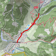
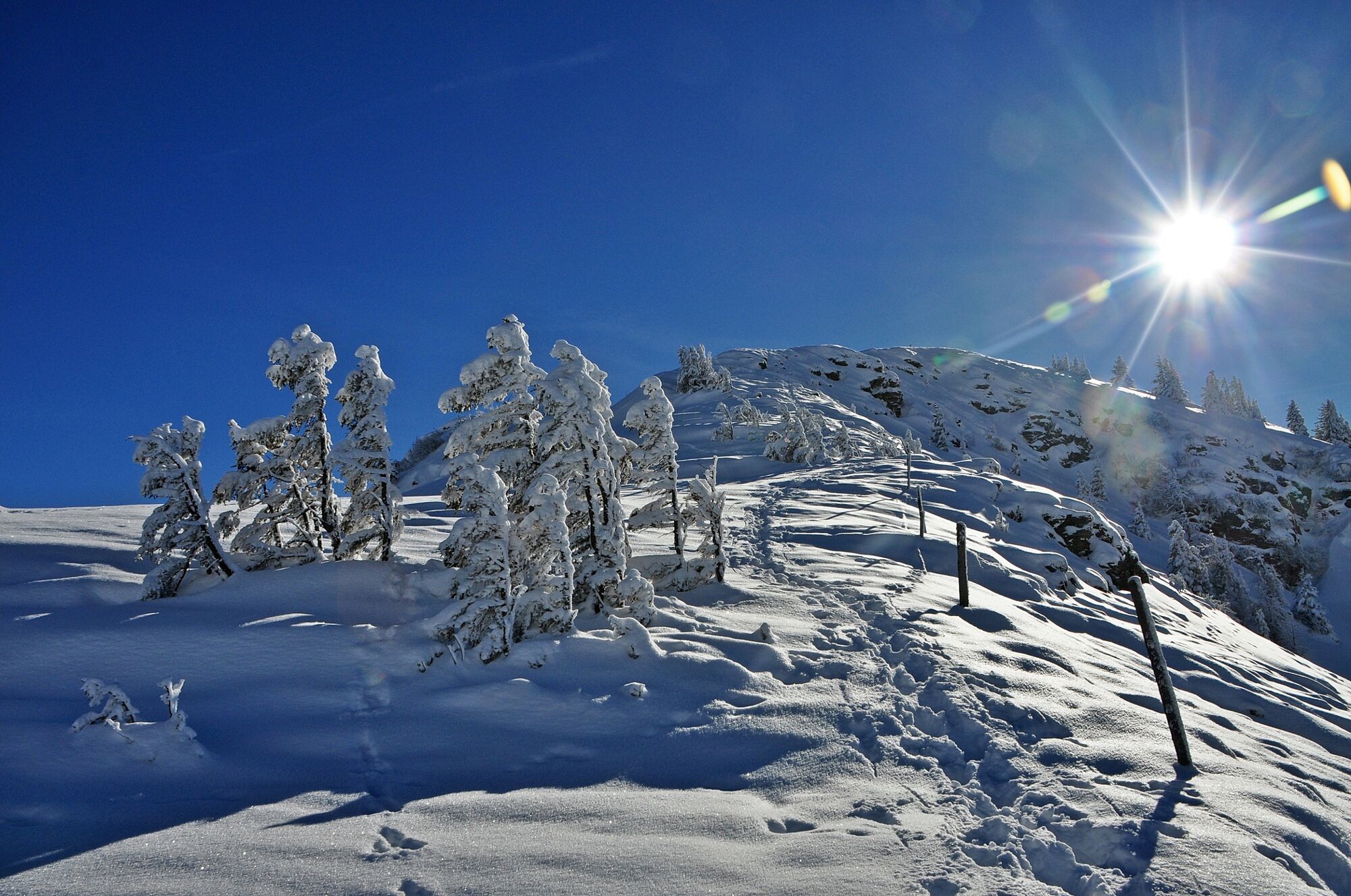
Come and enjoy the scenery in beautiful Mühlbach as you walk through and round our village.
- Stopień trudności
-
średni
- Ocena
-
- Trasa
-
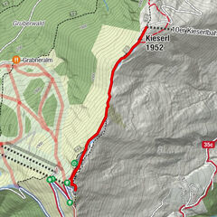
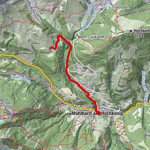
Mühlbach am HochkönigPfarrkirche zum hl. Sebastian0,1 kmMesnerhaus, Café, Bar & Restaurant0,1 kmAnderlwirt0,1 kmHöring0,1 kmKnie1,6 kmKnie7,2 kmHöring8,7 kmAnderlwirt8,7 kmPfarrkirche zum hl. Sebastian8,7 kmMesnerhaus, Café, Bar & Restaurant8,7 kmMühlbach am Hochkönig8,7 km
- Najlepszy sezon
-
siewrzpaźlisgrustylutmarkwimajczelip
- Najwyższy punkt
- 1.302 m
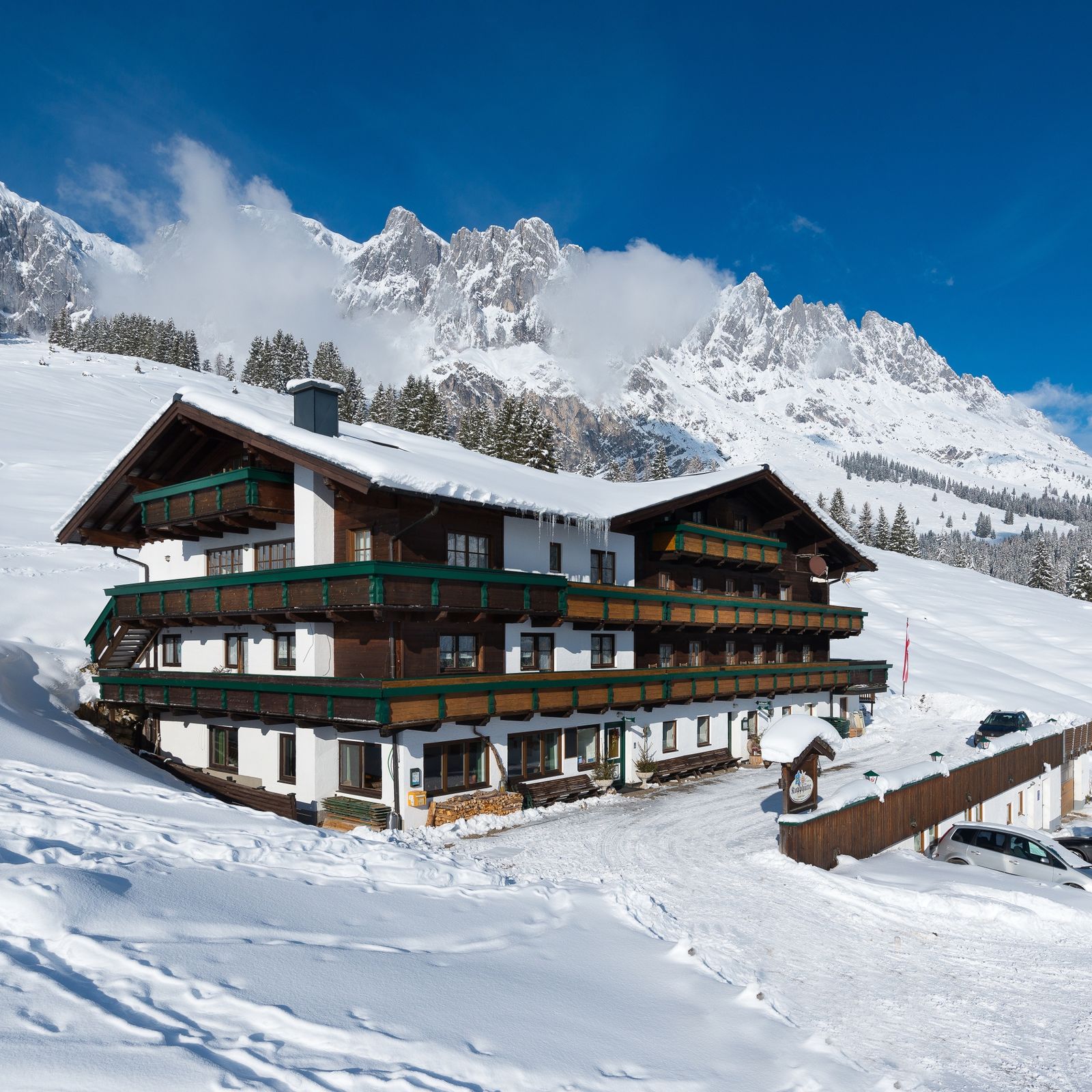
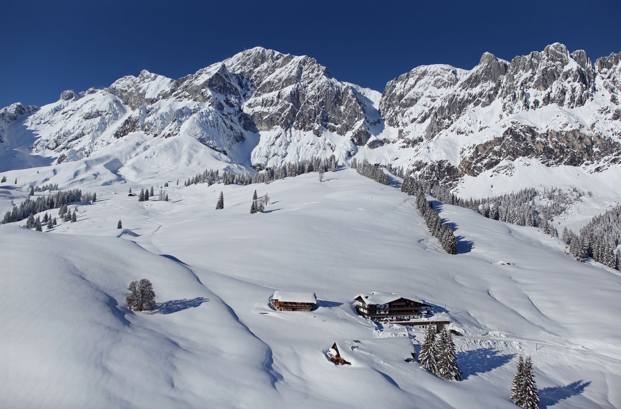
- Miejsce docelowe
-
Kopphütte
- Profil wysokości
-


- Autor
-
Wycieczka Winter hiking "Kopphütte" jest używany przez outdooractive.com pod warunkiem.
GPS Downloads


Informacje ogólne
Przystanek odświeżania
Więcej wycieczek w regionach