- Krótki opis
-
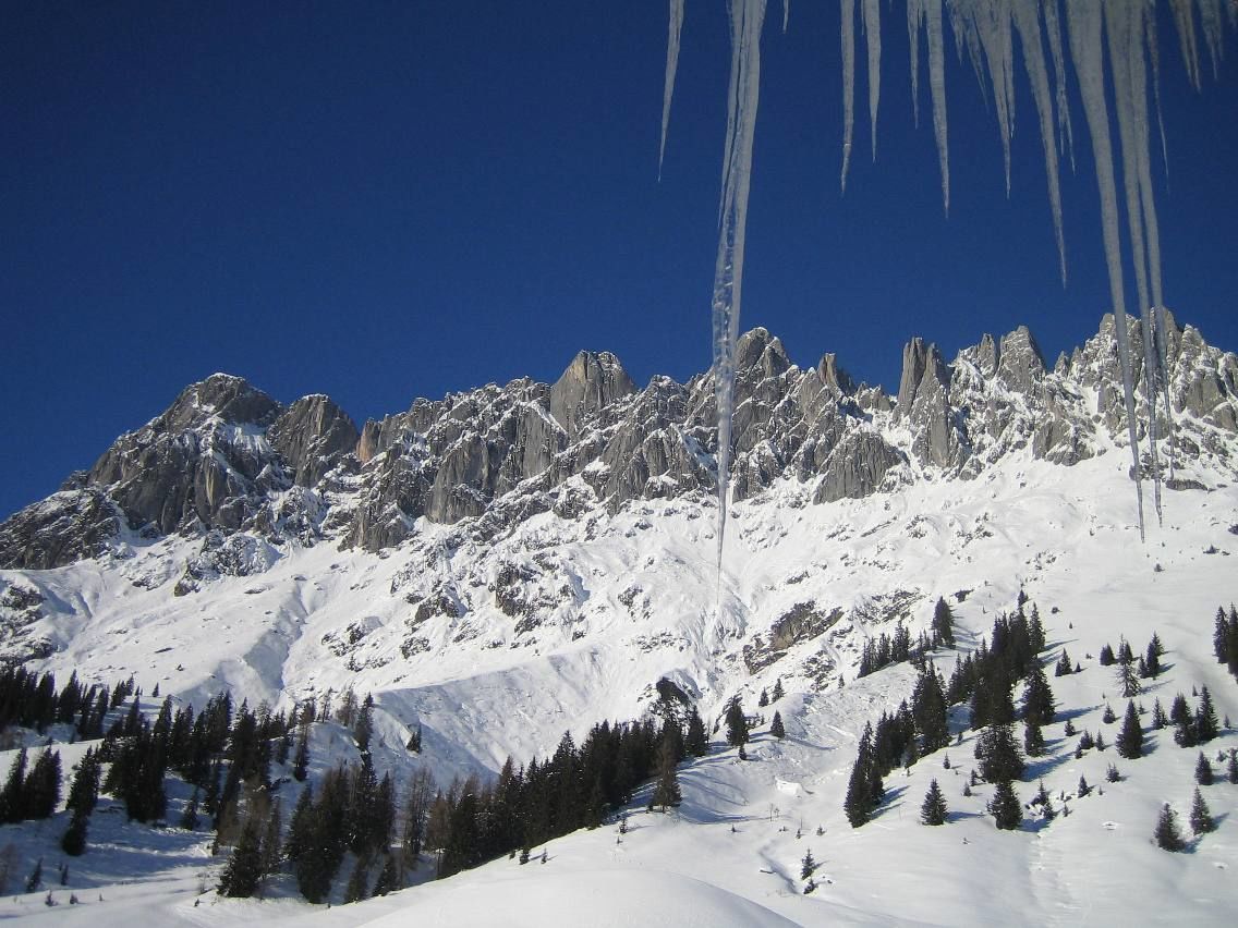
Winter hiking along the cross-country skiing trail in the ski area Hochkeil!
- Stopień trudności
-
łatwe
- Ocena
-
- Trasa
-
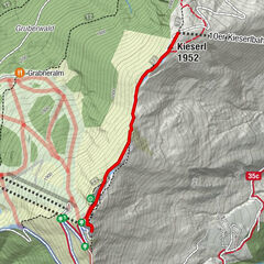
Arthurhaus0,0 kmMitterbergsattel (1.515 m)0,2 km
- Najlepszy sezon
-
siewrzpaźlisgrustylutmarkwimajczelip
- Najwyższy punkt
- 1.562 m
- Miejsce docelowe
-
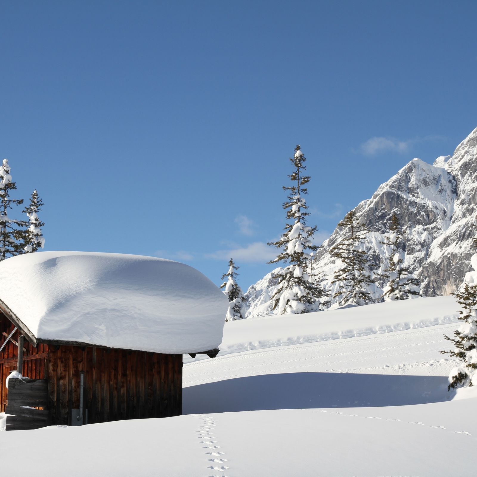
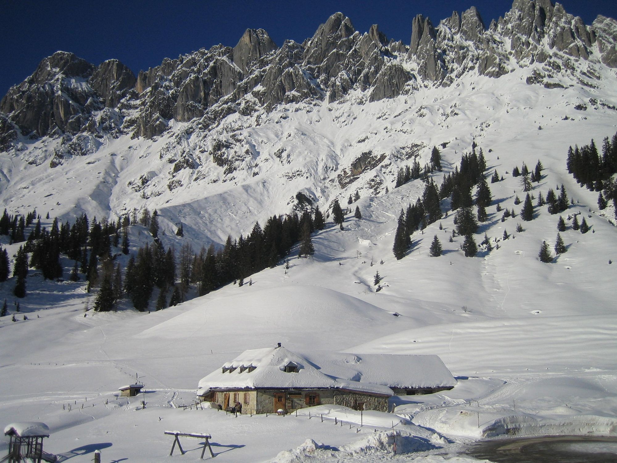
Berghotel Arthurhaus
- Profil wysokości
-


- Autor
-
Wycieczka Winter hiking at the Arthurhaus jest używany przez outdooractive.com pod warunkiem.
GPS Downloads


Informacje ogólne
Przystanek odświeżania
Obiecujący
Więcej wycieczek w regionach