Hike via the Berggasthof Christernreith to the Wastlalm

Logo Hike via the Berggasthof Christernreith to the Wastlalm
Dane wycieczki
13km
833 - 1.457m
Distanz
1.197hm
617hm
Ascent
05:15h
 
Czas trwania
Krótki opis

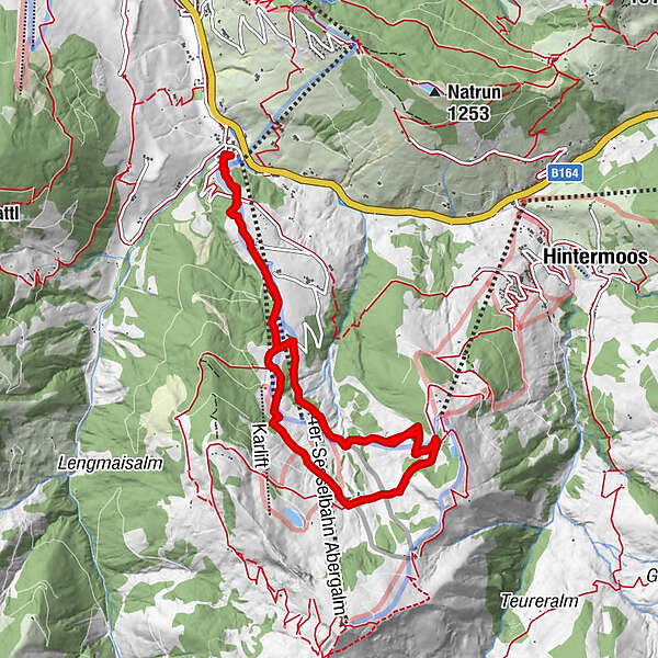
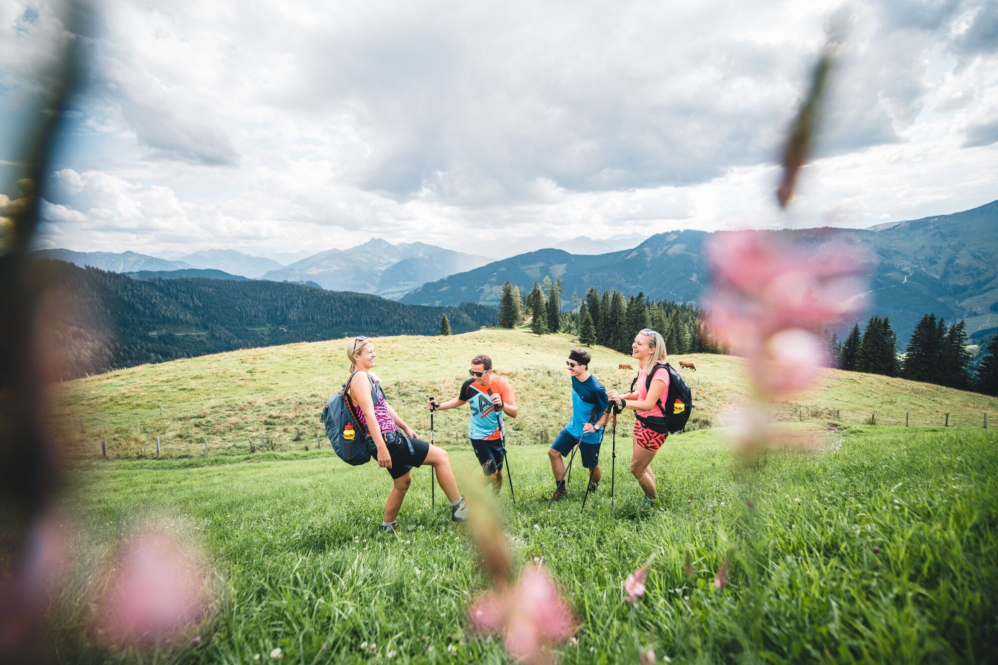
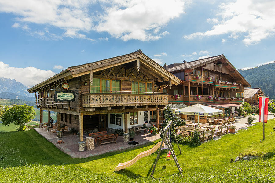
This beautiful hike leads from Unterberg via the mountain inn Christernreith and on via the Thoraualm to the Wastlalm.

Stopień trudności
średni
Ocena
Technika
Kondycja
Krajobraz
Przeżycie
Trasa
Schönanger
1,1 km
Schönanger
2,4 km
Abergalm
3,5 km
Kröllalm
4,8 km
Abergalm
5,9 km
Christernreith
6,6 km
Schönanger
7,5 km
Christernreith
10,6 km
Abergalm
11,3 km
Kröllalm
12,4 km

Najlepszy sezon
sty
lut
mar
kwi
maj
cze
lip
sie
wrz
paź
lis
gru
Najwyższy punkt
1.457 m
Miejsce docelowe

Unterberg - Aberg Ski Centre

Profil wysokości

Autor
Wycieczka Hike via the Berggasthof Christernreith to the Wastlalm jest używany przez outdooractive.com pod warunkiem.

1,0
Ogólna ocena

5

0

%

4

0

%

3

0

%

2

0

%

1

100

%

GPS Downloads
  • GPX GPS Exchange Format (XML)
  • KML Google Earth, Google Maps
Kody pobierania QR dla telefonów komórkowych

Informacje ogólne

Przystanek odświeżania
Obiecujący
Więcej wycieczek w regionach

Popularne wycieczki po okolicy

Birnhorn (2634m)

ciężkie Wędrówka
9,37km | 2005hm | 06:00h

Saalfeldener Gipfel Runde - Schönfeldspitze

ciężkie Wędrówka
15,14km | 1518hm | 07:30h

Schwalbenwand Nr. 80, 81, 82

średni Wędrówka
12,99km | 818hm | 05:00h

Summit tour Taghaube

ciężkie Wędrówka
6,25km | 768hm | 03:00h