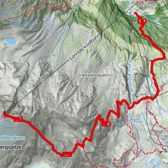
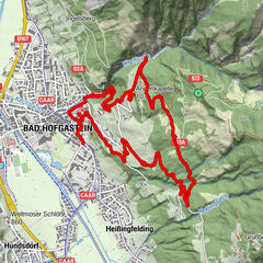
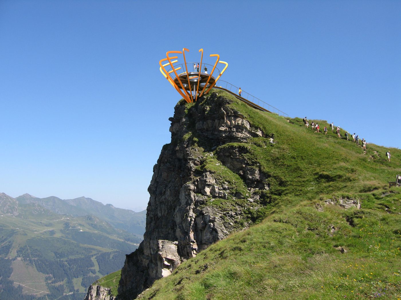
Wanderung zum Bockhartsee - Richtung Sportgastein - stellenweise Trittsicherheit erforderlich

Wędrówka


Dane wycieczki
8,1km
1.582
- 2.415m
304hm
873hm
03:00h
- Krótki opis
-
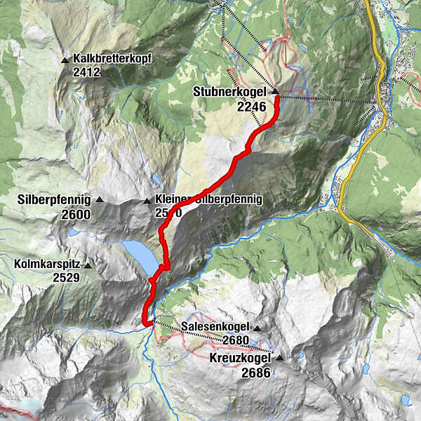
Gehzeit: 5 - 6 Stunden
Höhenunterschied: im Anstieg ca. 270 m, im Abstieg ca. 900 m
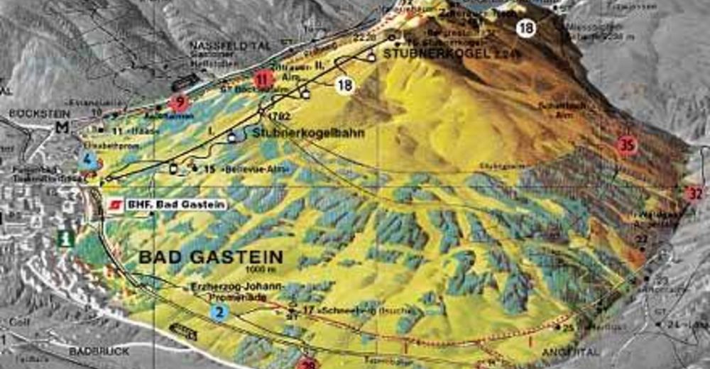
Ausgangspunkt: Bergstation Stubnerkogel, Ziel: Sportgastein Bushaltestelle
Ganztagestour, festes Schuhwerk erforderlich. - Stopień trudności
-
średni
- Ocena
-
- Punkt wyjścia
-
Bergstation Stubnerkogel, Ziel: Sportgastein Bushaltestelle
- Trasa
-
Gipfelrestaurant Stubnerkogel0,0 kmZitterauer Scharte (2.163 m)0,9 kmTischkogel (2.409 m)1,8 kmZitterauer Tisch (2.463 m)2,0 kmZitterauer Alpe4,0 kmBockhartseehütte6,8 kmNaßfeld7,9 kmValeriehaus8,0 km
- Najlepszy sezon
-
stylutmarkwimajczelipsiewrzpaźlisgru
- Najwyższy punkt
- 2.415 m
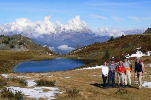
- Odpoczynek/Odosobnienie
-
Valeriehaus, Bockhartseehütte
- Mapy
GPS Downloads


Warunki na szlaku
Asfalt
Żwir
Łąka
Las
Skała
Wyeksponowany
Więcej wycieczek w regionach