

© https://bergseensucht.com/2018/09/25/birnhorn-2634m-ueberschreitung-via-suedwand-melkerloch-2193m-leoganger-steinberge-salzburgerland/ - Bergseensucht

© alpenvereinaktiv.com - Alexander Thaler

© alpenvereinaktiv.com - Alexander Thaler
- Krótki opis
-
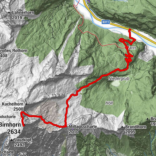
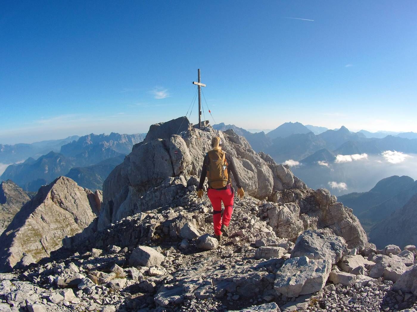
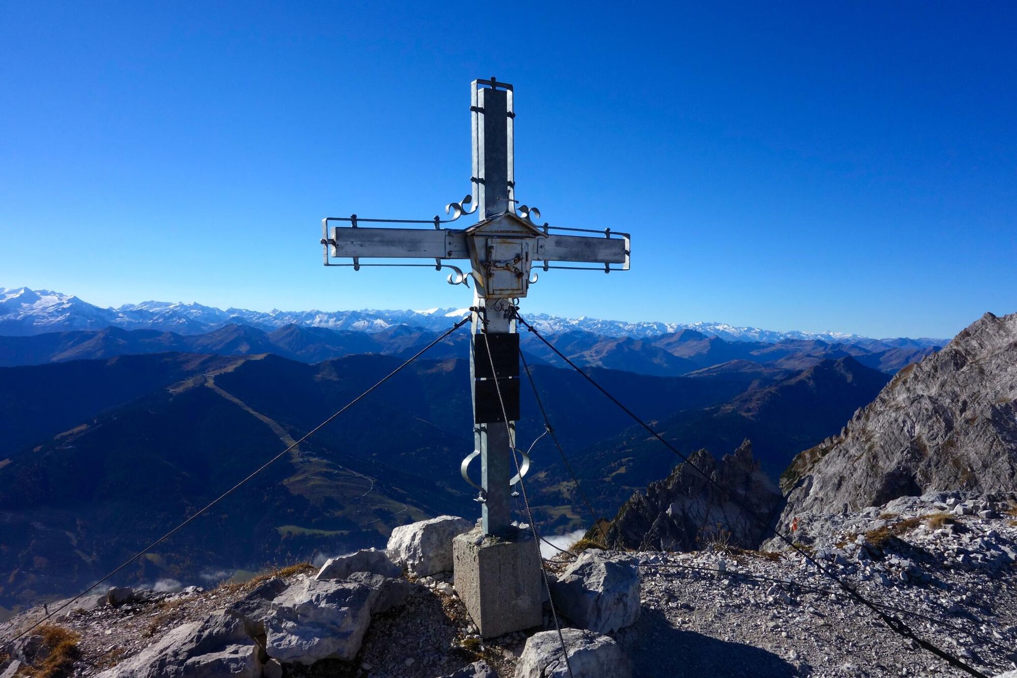
With an altitude of around 2634m, the Birnhorn is the highest mountain of the Leoganger Steinberge in Salzburg's Pinzgau region.
- Stopień trudności
-
ciężkie
- Ocena
-
- Trasa
-
Mittagsscharte (2.010 m)7,1 kmPassauer Hütte7,2 kmKuchelnieder (2.437 m)8,8 kmBirnhorn (2.634 m)9,3 km
- Najlepszy sezon
-
stylutmarkwimajczelipsiewrzpaźlisgru
- Najwyższy punkt
- 2.615 m
- Miejsce docelowe
-
Weißbach near Lofer
- Profil wysokości
-

-

-
AutorWycieczka Birnhorn (2634m) jest używany przez outdooractive.com pod warunkiem.
GPS Downloads


Informacje ogólne
Przystanek odświeżania
Obiecujący
Więcej wycieczek w regionach
-
Saalfelden - Leogang
1787
-
Weißbach bei Lofer
327


