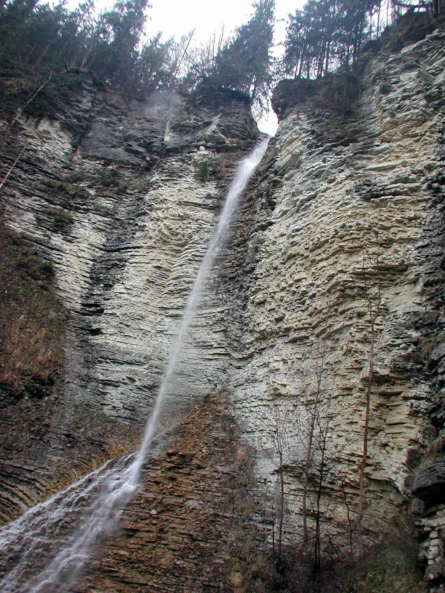
© Gästeservice Tennengau - Tourismusverband Kuchl

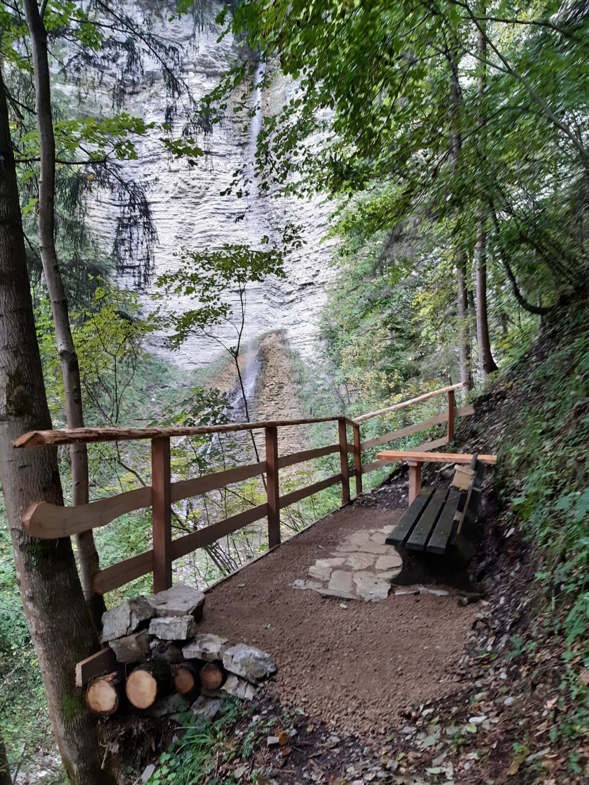
© Gästeservice Tennengau - Tourismusverband Kuchl

© Gästeservice Tennengau - Tourismusverband Kuchl

© Gästeservice Tennengau - Tourismusverband Kuchl
- Krótki opis
-
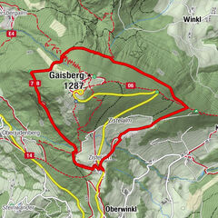
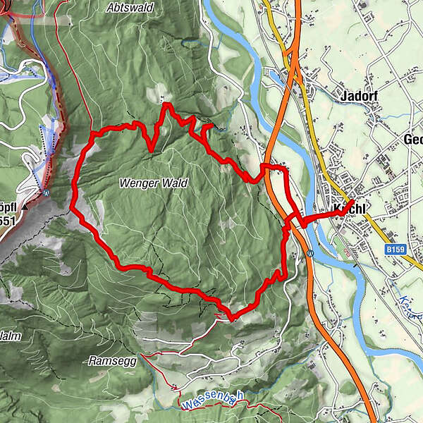
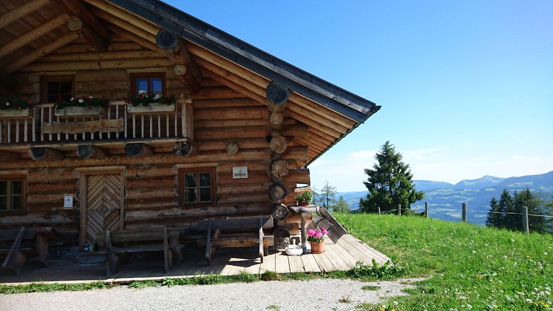
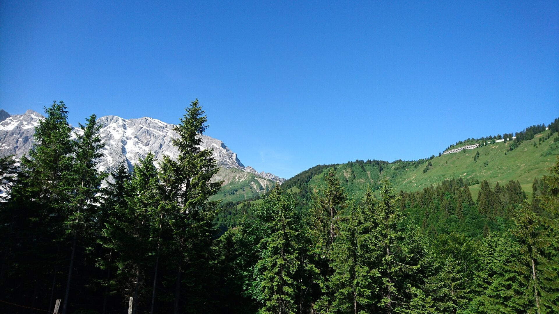
Beautiful, challenging circular route starting from the town center with a wonderful view of the Göll east face. Walking time from the town center approx. 4.5 hours
- Stopień trudności
-
średni
- Ocena
-
- Trasa
-
Kuchl0,1 kmNesslangeralm7,7 kmKuchler Skihütte7,9 kmWeißenbach11,9 kmKuchl13,5 km
- Najwyższy punkt
- 1.286 m
- Miejsce docelowe
-
Ortszentrum Kuchl
- Profil wysokości
-

-

-
AutorWycieczka Truckenthannalm-Rundweg (12 POINTS) jest używany przez outdooractive.com pod warunkiem.
GPS Downloads


Więcej wycieczek w regionach
-
Tennengau - Dachstein West
2002
-
Kuchl
539