© Tourismusverband Puch - Barbara Gerber

© Community - bergfexsport

© Puch bei Salzburg

© Community - bergfexsport
© Tourismusverband Puch - Barbara Gerber

© Tourismusverband Puch - Barbara Gerber

© Tourismusverband Puch - Barbara Gerber

© Tourismusverband Puch - Barbara Gerber

© Tourismusverband Puch - Barbara Gerber

© Tourismusverband Puch - Barbara Gerber
- Krótki opis
-
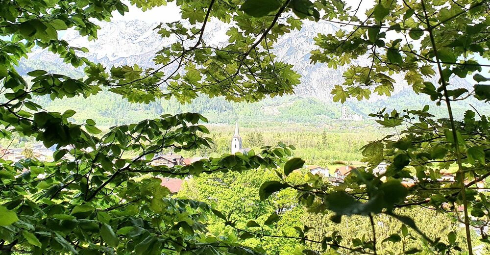
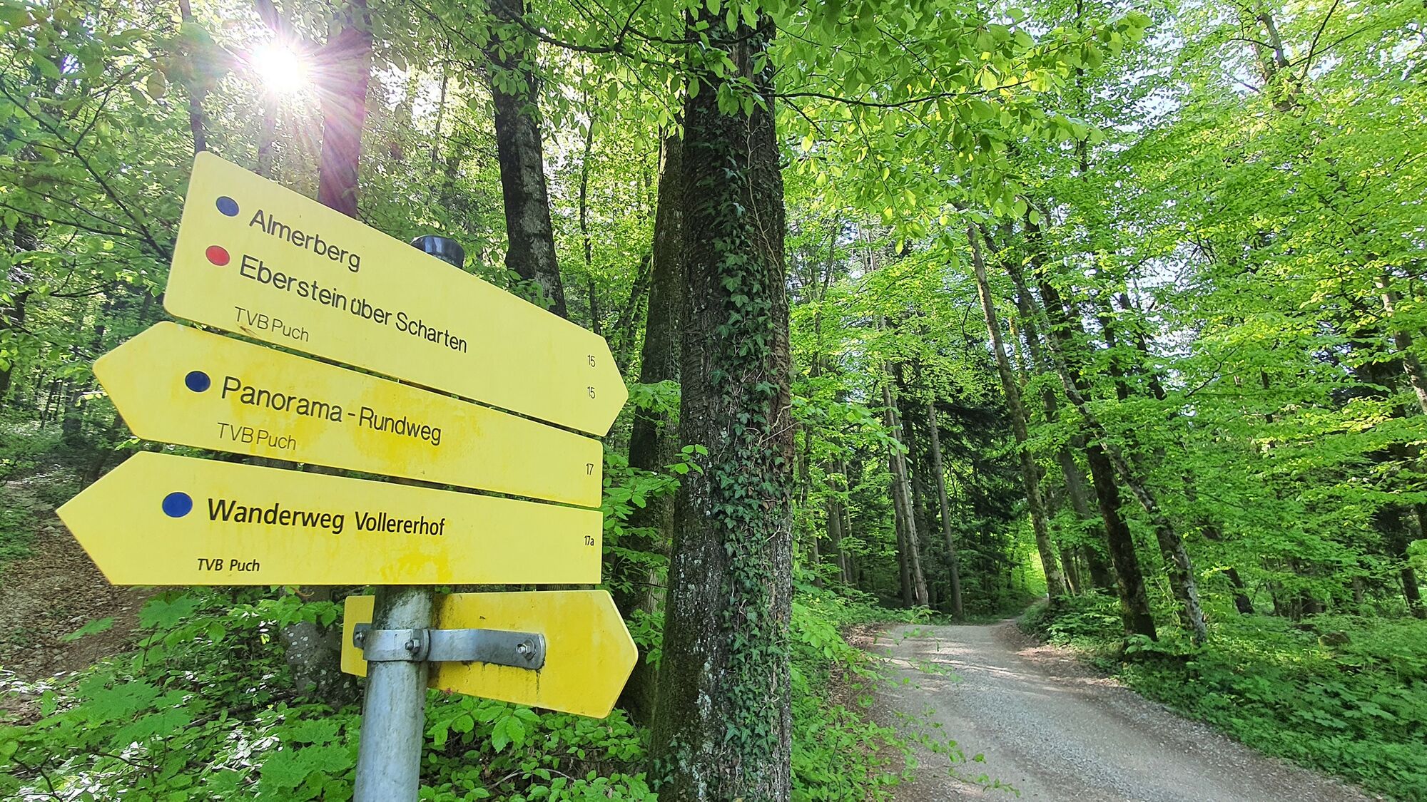
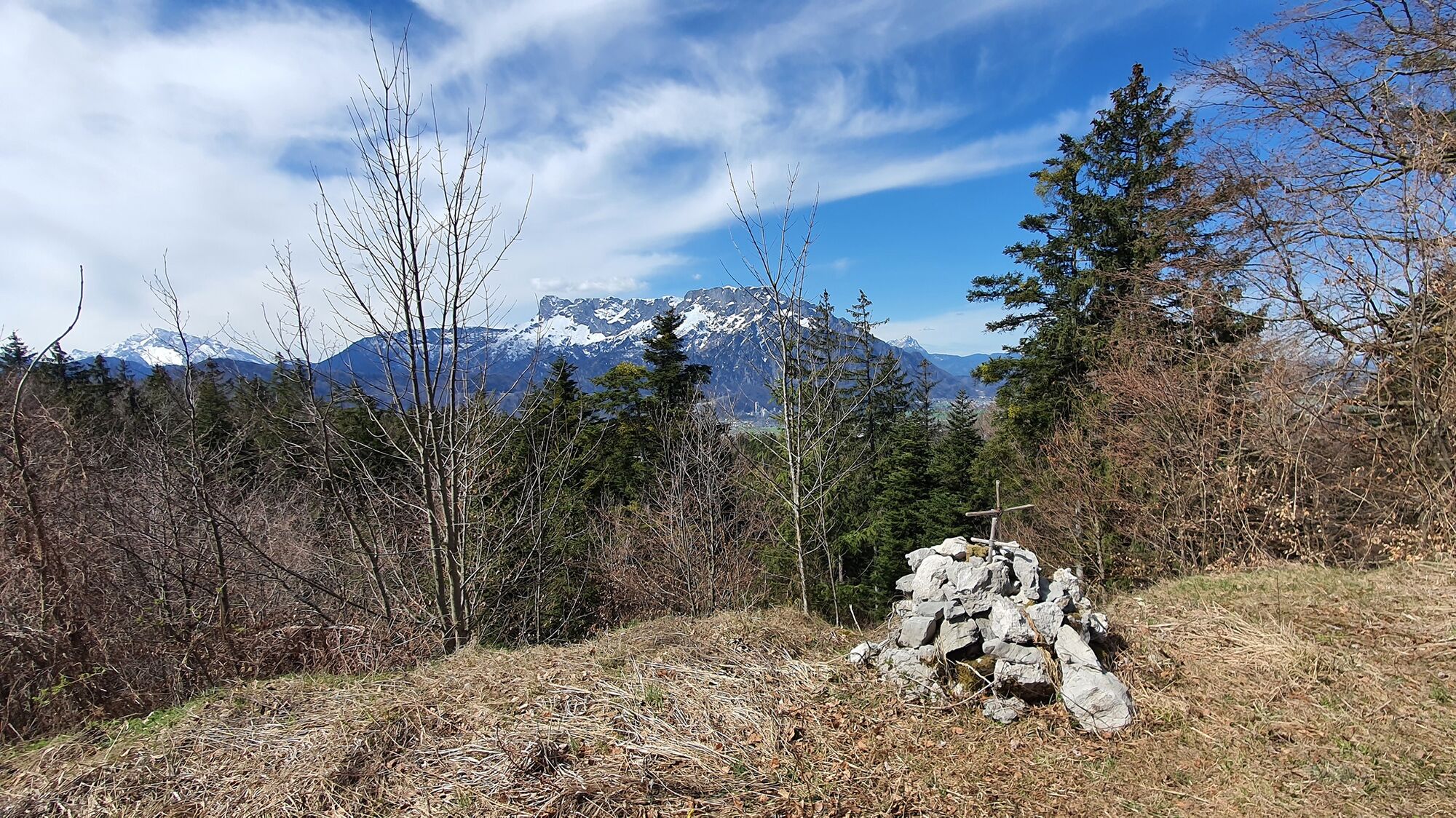
Easy hiking tour to the top of the Almerberg (elev. 726 m) with option to continue to the top of the more challenging Eberstein at 776 m.
- Stopień trudności
-
średni
- Ocena
-
- Trasa
-
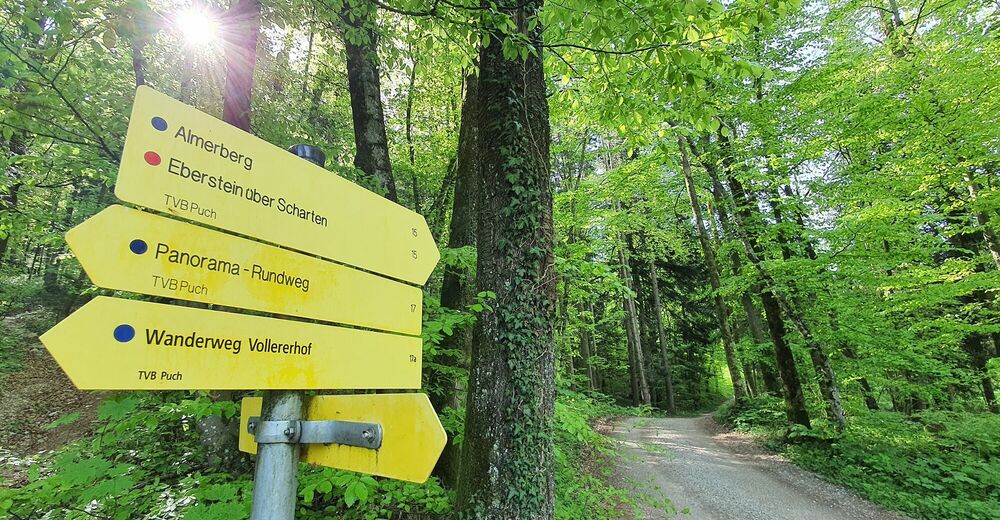
Pfarrkirche Puch bei Hallein0,0 kmPuch bei Hallein0,1 kmGasthof Kirchenwirt0,2 kmPuch bei Hallein8,4 km
- Najlepszy sezon
-
stylutmarkwimajczelipsiewrzpaźlisgru
- Najwyższy punkt
- 715 m
- Miejsce docelowe
-
Public parking in the center of Puch (next to the village hall).
- Profil wysokości
-


-
-
AutorWycieczka Puch: Almerberg - circular trail (No. 15, 8 points) jest używany przez outdooractive.com pod warunkiem.
GPS Downloads


Informacje ogólne
Obiecujący
Więcej wycieczek w regionach
-
Tennengau - Dachstein West
2000
-
Oberalm
607