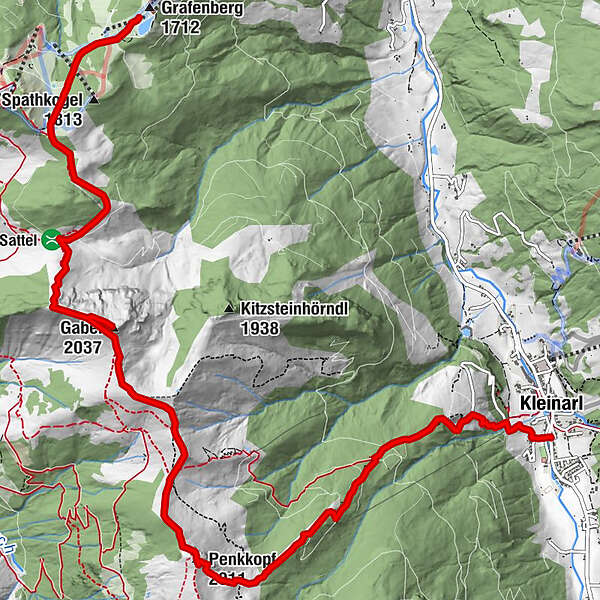
High-altitude hike: Grafenberg - Gabel - Penkkopf - Kleinarl

Wędrówka


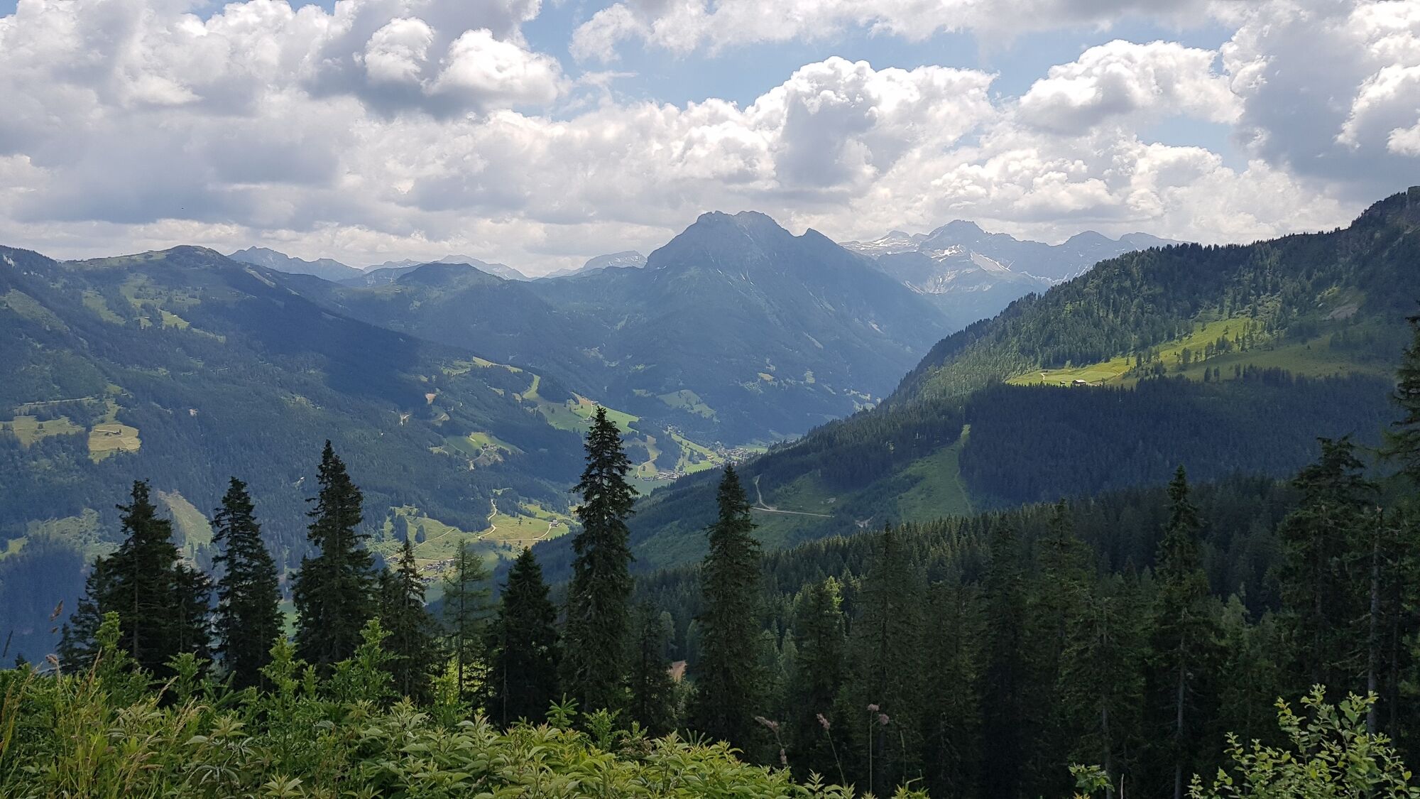
© Wagrain-Kleinarl Tourismus - Agnes Moser

© Wagrain-Kleinarl Tourismus - Agnes Moser


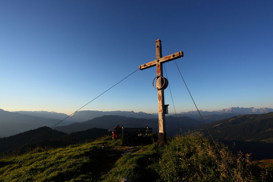
© Salzburger Sportwelt - Mike Groessinger

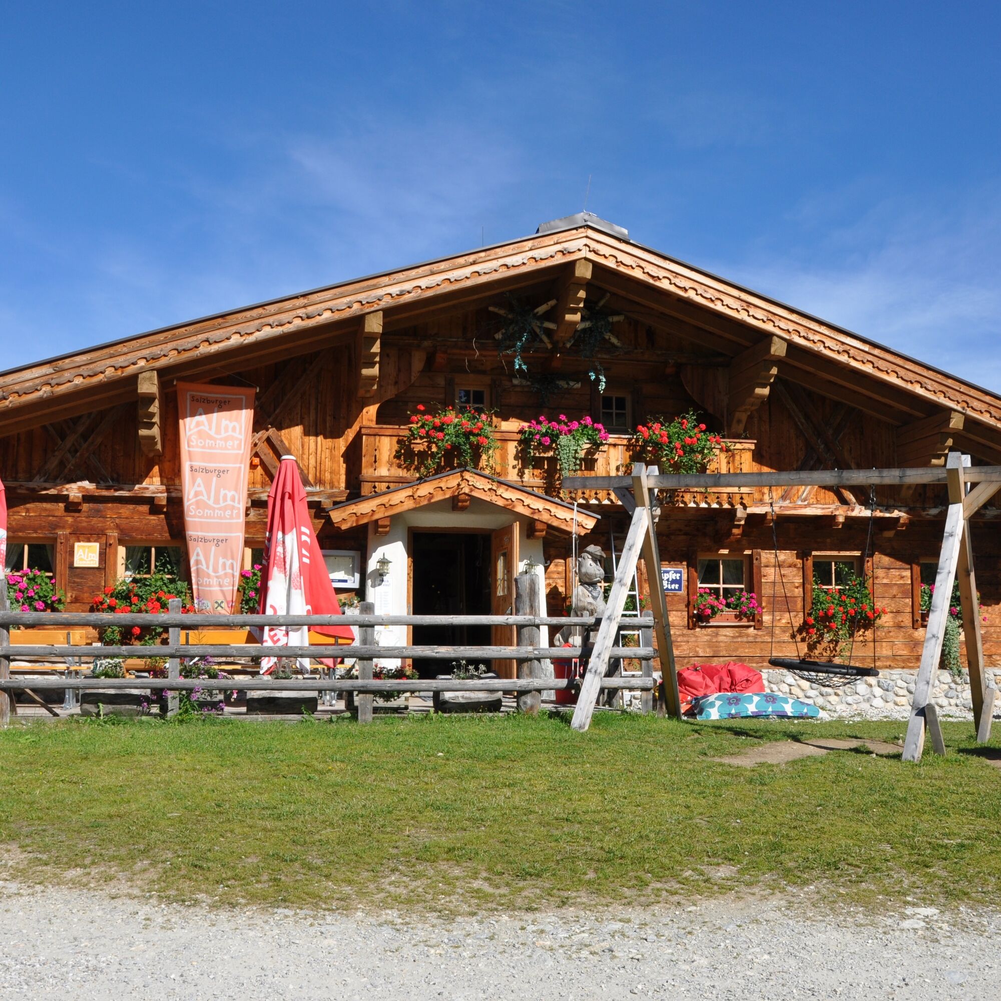
© Wagrain-Kleinarl Tourismus - Stefanie Ostler
- Krótki opis
-
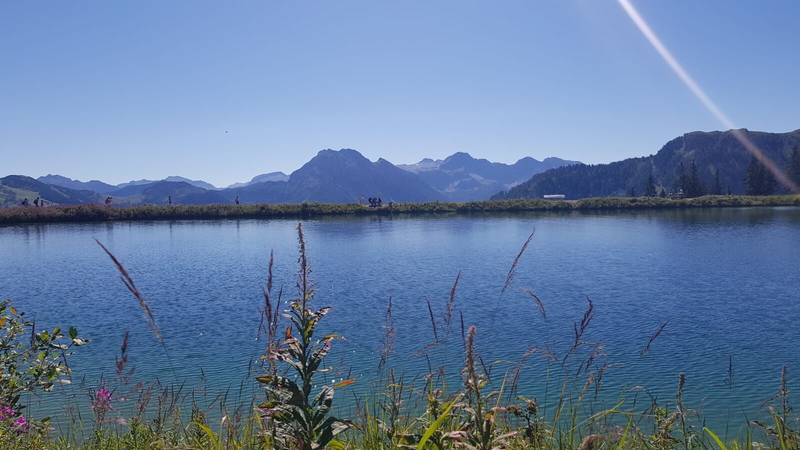
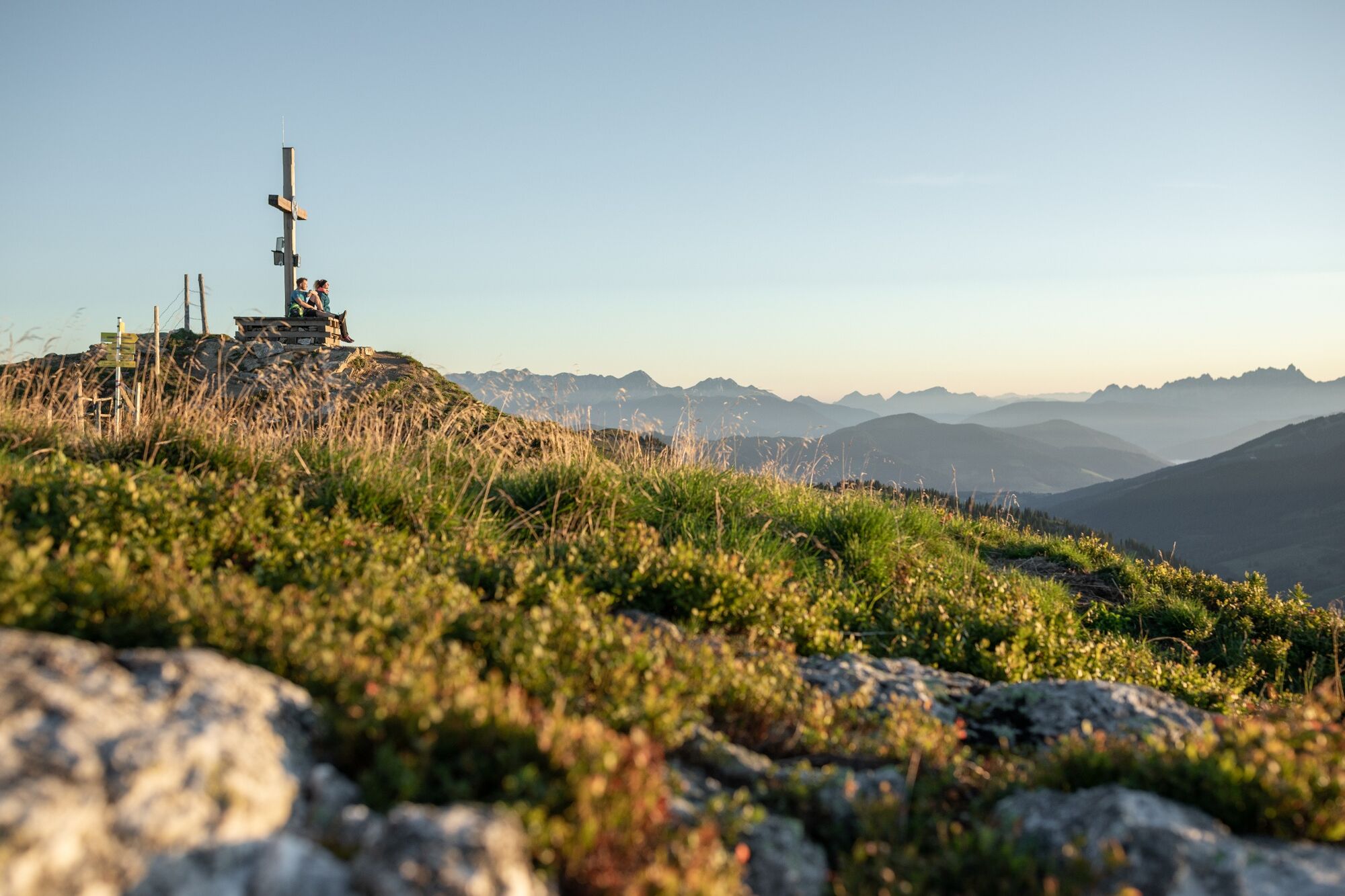
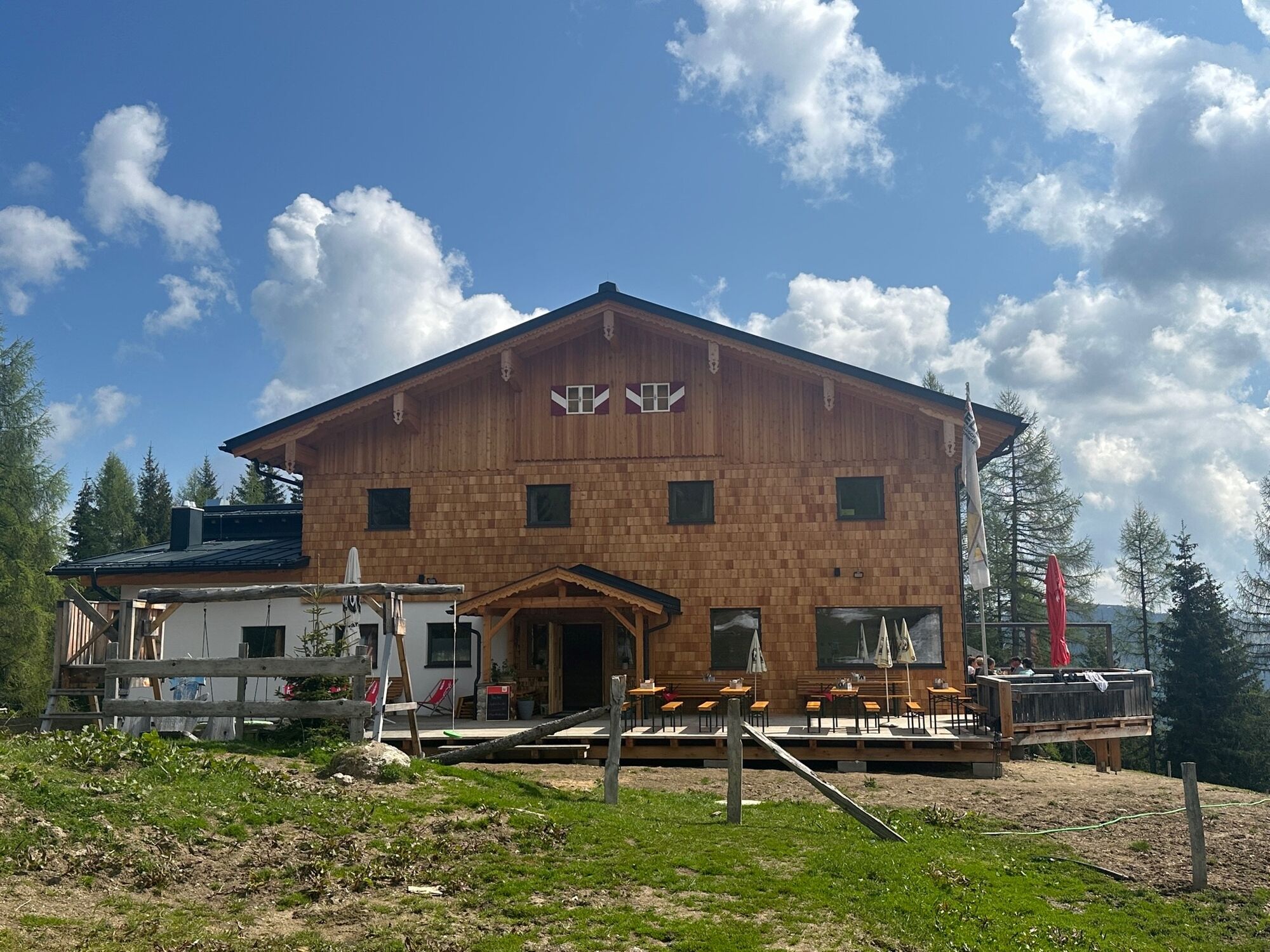
Panoramic high-altitude hike (with gondola ascent) from the Grafenberg mountain station over the summit of the Gabel and the Penkkopf, to the Kleinarler Hütte and on to Kleinarl.
- Stopień trudności
-
średni
- Ocena
-
- Trasa
-
Gabel (2.037 m)4,1 kmPenkkopf (2.011 m)7,1 kmKleinarler Hütte8,3 kmKleinarl11,7 km
- Najlepszy sezon
-
stylutmarkwimajczelipsiewrzpaźlisgru
- Najwyższy punkt
- 2.017 m
- Miejsce docelowe
-
Kleinarl bus stop
- Profil wysokości
-


- Autor
-
Wycieczka High-altitude hike: Grafenberg - Gabel - Penkkopf - Kleinarl jest używany przez outdooractive.com pod warunkiem.
GPS Downloads


Informacje ogólne
Przystanek odświeżania
Obiecujący
Więcej wycieczek w regionach


