© Saalbach Hinterglemm - Gunter Mayer

© Saalbach Hinterglemm - Gunter Mayer
- Krótki opis
-
The Panorama Trail is the perfect trail running route in the mountains of Saalbach! This alternative variant avoids the peaks in contrast to the main route of the Panorama Trail.
- Stopień trudności
-
średni
- Ocena
-
- Trasa
-
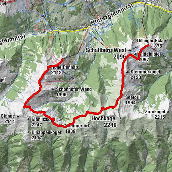
Zwölferkogel (1.984 m)0,0 kmHohe Penhab (2.113 m)1,2 kmSchoenhofer Wand2,9 kmStoffenscharte (2.015 m)4,4 kmSommertörl (1.939 m)7,5 kmSeetörl (1.964 m)12,8 kmSkyRest17,3 kmSchattberg-Ost (2.018 m)17,3 km
- Najlepszy sezon
-
stylutmarkwimajczelipsiewrzpaźlisgru
- Najwyższy punkt
- 2.123 m
- Miejsce docelowe
-
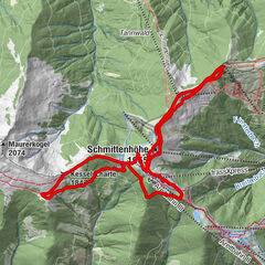
Schattberg east summit - Saalbach
- Profil wysokości
-


-

-
AutorWycieczka Panorama Trail - the alternative route jest używany przez outdooractive.com pod warunkiem.
GPS Downloads


Informacje ogólne
Przystanek odświeżania
Obiecujący
Więcej wycieczek w regionach