

- Krótki opis
-
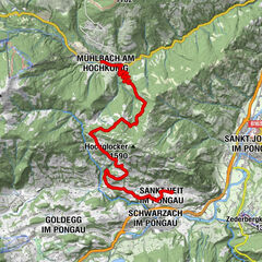
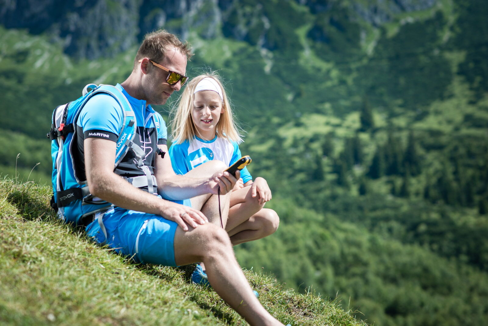
The first GeoTour in Austria! Collect all 35 symbols and crack the Highking Code!
- Stopień trudności
-
ciężkie
- Ocena
-
- Trasa
-
Mühlbach am HochkönigPfarrkirche zum hl. SebastianMesnerhaus, Café, Bar & Restaurant0,0 kmAnderlwirt0,0 kmHöring0,1 kmKnie2,1 kmMitterbergsattel (1.515 m)7,4 kmArthurhaus7,6 kmWindrauchegg Alm9,2 kmRiedingalm9,8 kmAuwald10,3 kmScharten Hütte11,4 kmMolteraualm11,5 kmWiddersbergalmen11,5 kmWiddersberg11,7 kmBrandstatthütte11,7 kmMittereggalm19,4 kmPichl Alm20,1 kmKath. Pfarrkirche hl. Dreifaltigkeit24,0 kmHinterthal24,0 kmHochmais24,8 kmBirnbach25,4 kmWetterherrenkapelle28,1 kmJufenalm28,2 kmSchlosspielplatz30,0 kmGrammlergut30,1 kmNatrunbahn 10er Kabinenbahn30,9 kmWallfahrtskirche Maria Alm33,0 kmMaria Alm am Steinernen Meer33,3 km
- Najlepszy sezon
-
stylutmarkwimajczelipsiewrzpaźlisgru
- Najwyższy punkt
- 1.592 m
- Miejsce docelowe
-
Maria Alm am Steinernen Meer
- Profil wysokości
-


- Autor
-
Wycieczka Geotour "Highking Code" jest używany przez outdooractive.com pod warunkiem.
GPS Downloads


Informacje ogólne
Przystanek odświeżania
Flora
Fauna
Obiecujący
Więcej wycieczek w regionach
-
Hochkönig
2042
-
Dienten am Hochkönig
536