
- Krótki opis
-
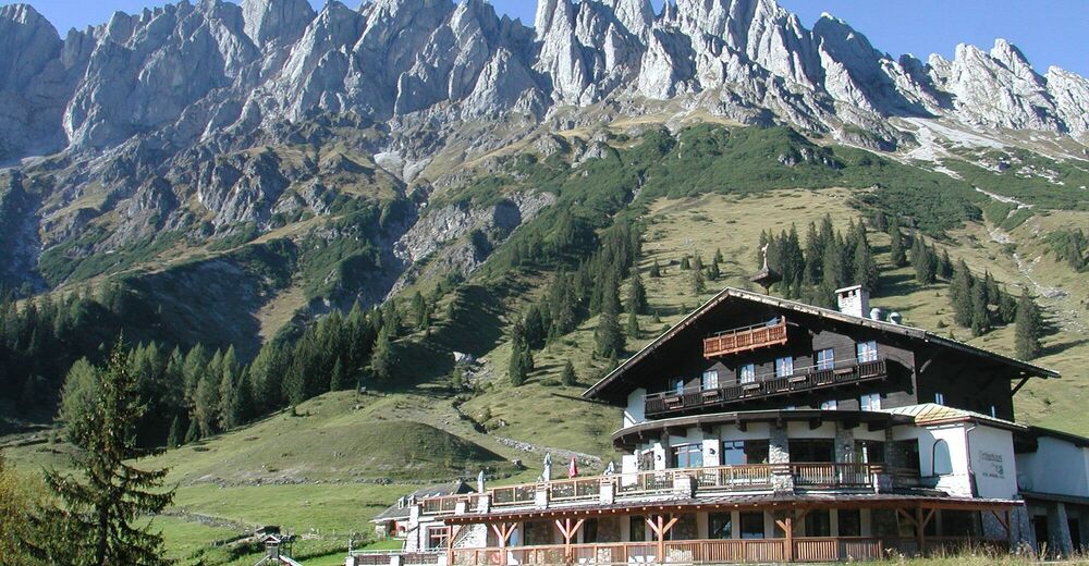
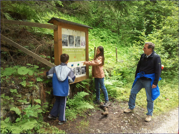
An interesting hiking trail for the whole family. Hiking and learning at the same time. - What could be better? Learn more about the historic copper mining in Mühlbach.
- Stopień trudności
-
łatwe
- Ocena
-
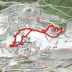
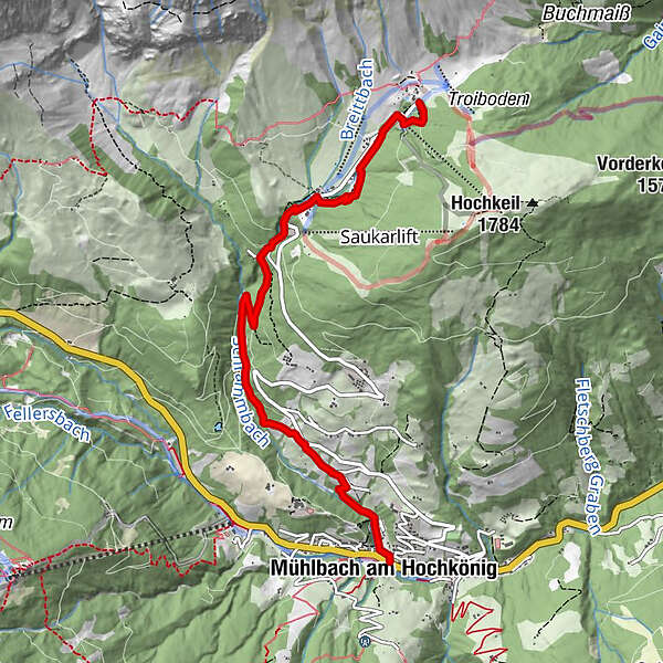
- Trasa
-
ArthurhausKnie4,5 kmAnderlwirt5,7 kmPfarrkirche zum hl. Sebastian5,7 kmMesnerhaus, Café, Bar & Restaurant5,8 kmMühlbach am Hochkönig5,8 km
- Najlepszy sezon
-
stylutmarkwimajczelipsiewrzpaźlisgru
- Najwyższy punkt
- 1.520 m
- Miejsce docelowe
-
Village center of Mühlbach
- Profil wysokości
-


- Autor
-
Wycieczka Mitterberger Erzweg jest używany przez outdooractive.com pod warunkiem.
GPS Downloads


Informacje ogólne
Kulturalny/Historyczny
Więcej wycieczek w regionach