© Tourismusverband Maishofen - Henrik Klar

© Tourismusverband Maishofen - Henrik Klar

© Tourismusverband Maishofen - Henrik Klar

© Tourismusverband Maishofen - Henrik Klar

© Tourismusverband Maishofen - Henrik Klar

© Tourismusverband Maishofen - Henrik Klar

© Tourismusverband Maishofen - Henrik Klar

© Tourismusverband Maishofen - Henrik Klar
- Krótki opis
-
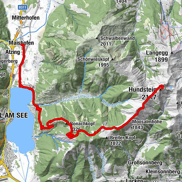
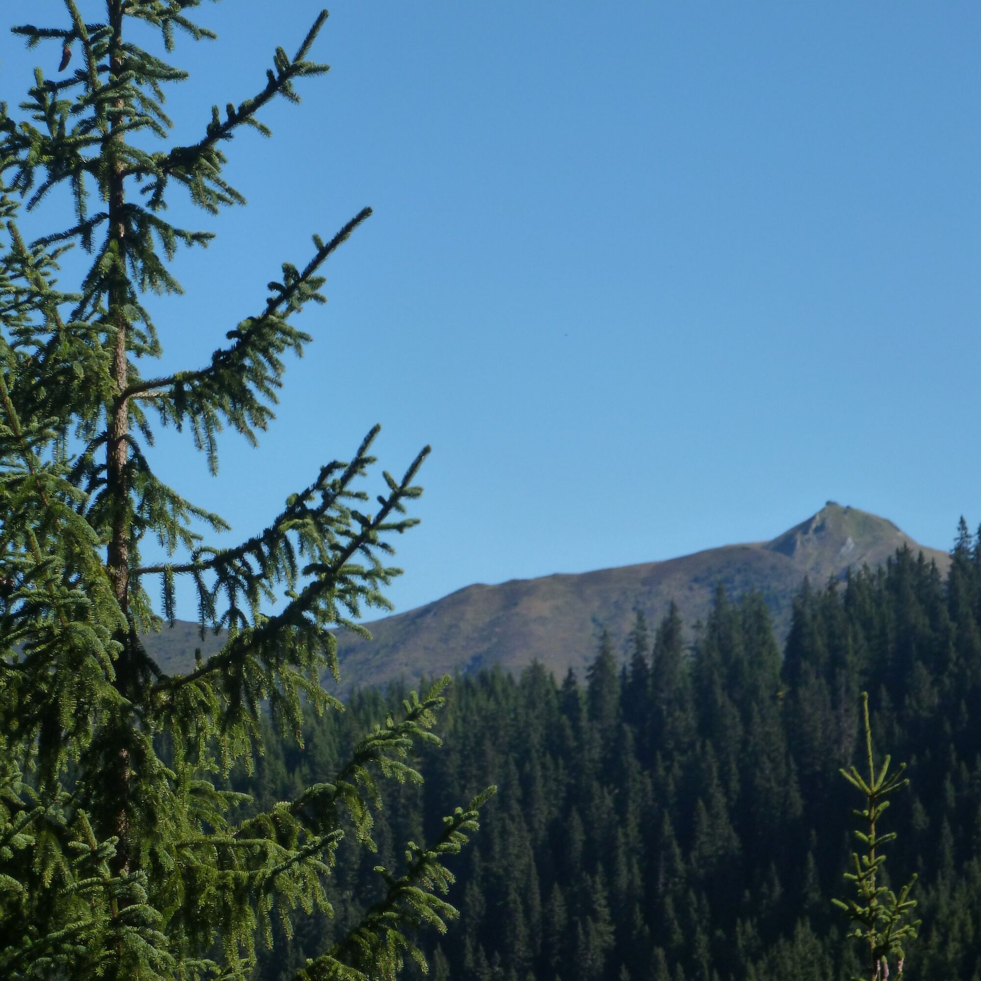
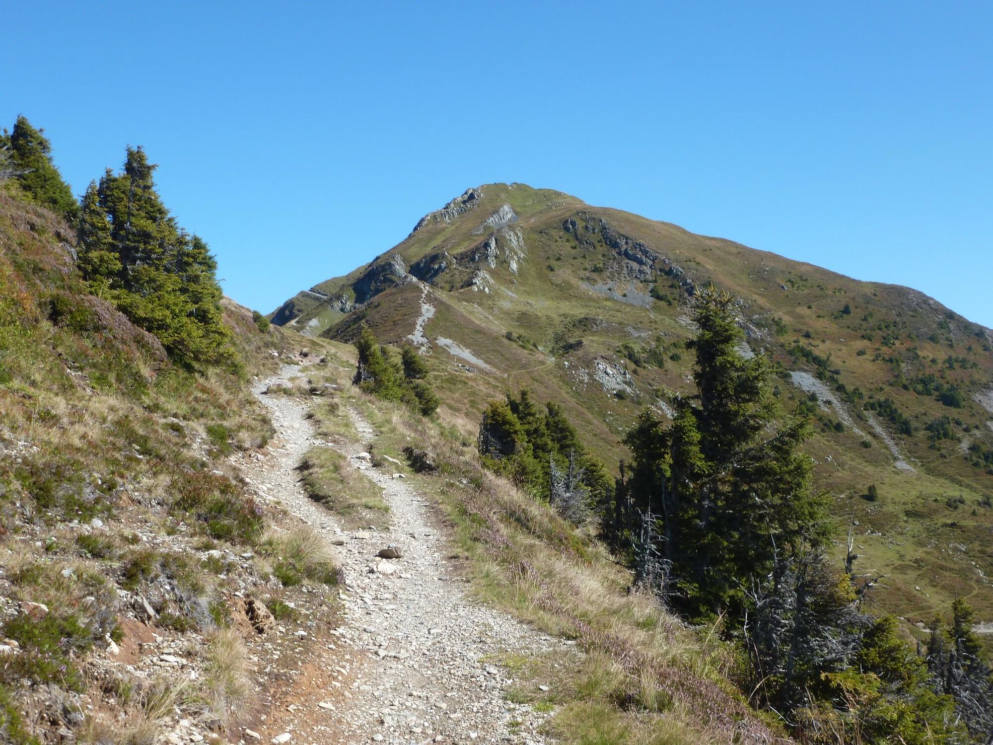
Pinzgauer Paradebikegipfel.
Von Maishofen nach Thumersbach, Auffahrt über die Enzianhütte und einen langen Rücken zum Gipfel des Hundssteins. Abfahrt über den gleichen Weg, oder verschiedene Varianten.
- Stopień trudności
-
ciężkie
- Ocena
-
- Trasa
-
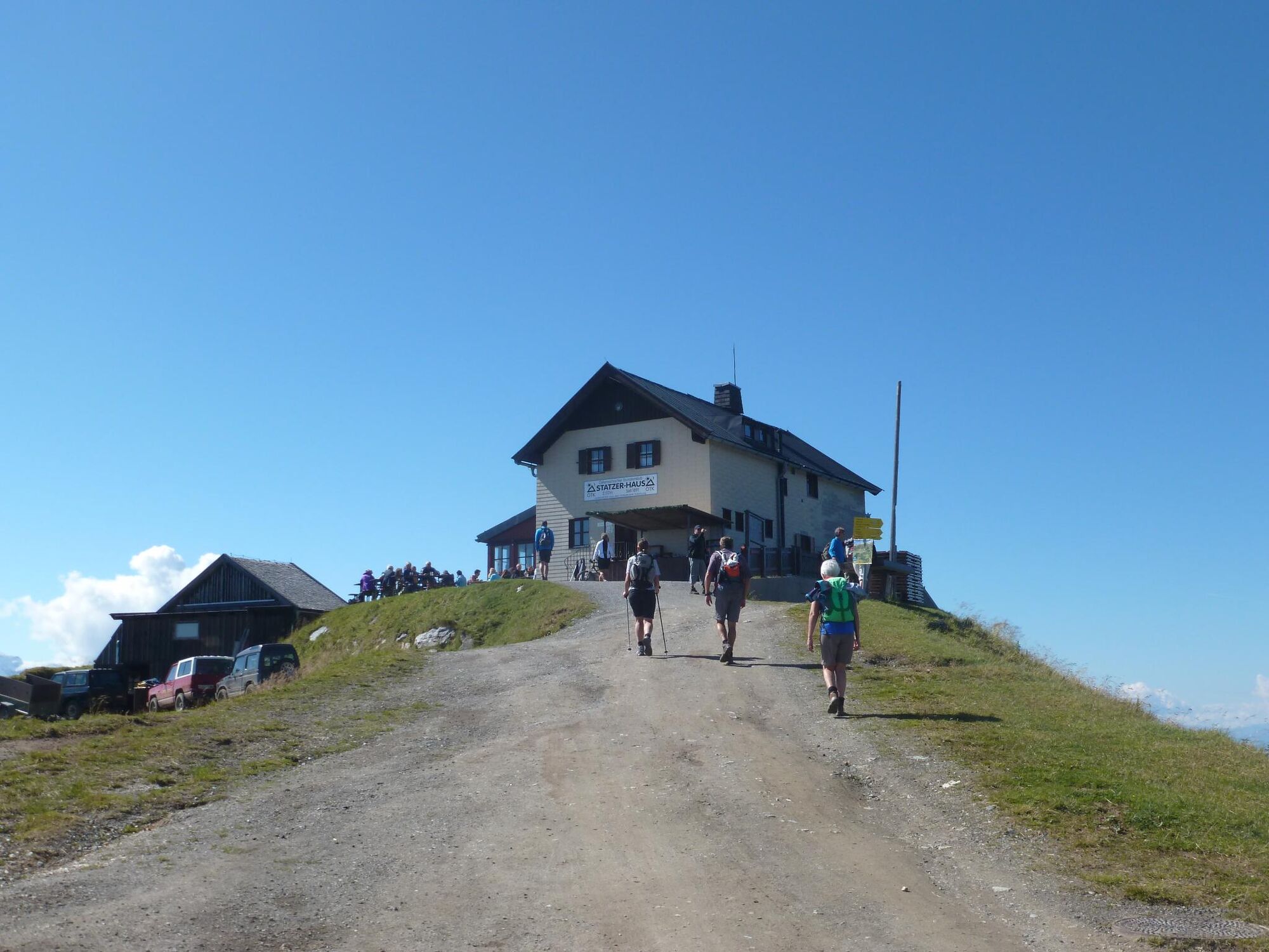
MaishofenStiegerschlössl0,1 kmBadhausfeld1,1 kmUnterreit1,5 kmPrielaukirche2,2 kmPrielau2,9 kmGasthof Wieshof3,3 kmWiesenlehen3,6 kmThumersbach4,4 kmEnzianhütte9,2 kmMoosalmhöhe (1.843 m)15,5 kmHundstein (2.117 m)18,9 kmStatzerhaus19,0 kmMoosalmhöhe (1.843 m)22,2 kmEnzianhütte28,7 kmThumersbach33,3 kmWiesenlehen34,3 kmGasthof Wieshof34,6 kmPrielau35,0 kmPrielaukirche35,6 kmUnterreit36,4 kmBadhausfeld36,7 kmStiegerschlössl37,7 kmMaishofen37,9 km
- Najlepszy sezon
-
stylutmarkwimajczelipsiewrzpaźlisgru
- Najwyższy punkt
- 2.092 m
- Miejsce docelowe
-
Maishofen, Kirche
- Profil wysokości
-


- Autor
-
Wycieczka Hundsstein jest używany przez outdooractive.com pod warunkiem.
GPS Downloads


Informacje ogólne
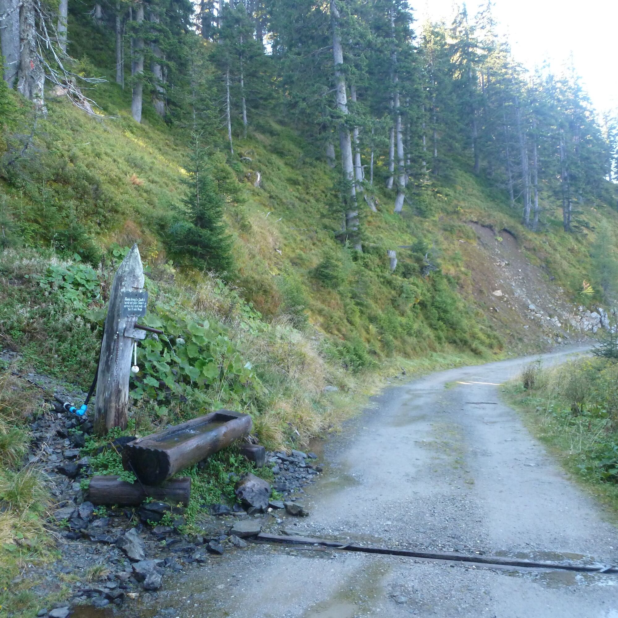
Przystanek odświeżania
Obiecujący
Więcej wycieczek w regionach