Baierwald Runde (SW44) including the Galler variant

Logo Baierwald Runde (SW44) including the Galler variant
Dane wycieczki
21,48km
844 - 1.419m
Distanz
685hm
665hm
Ascent
03:30h
 
Czas trwania
Krótki opis

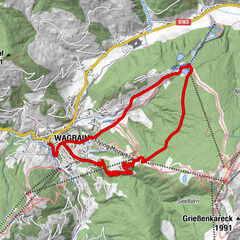
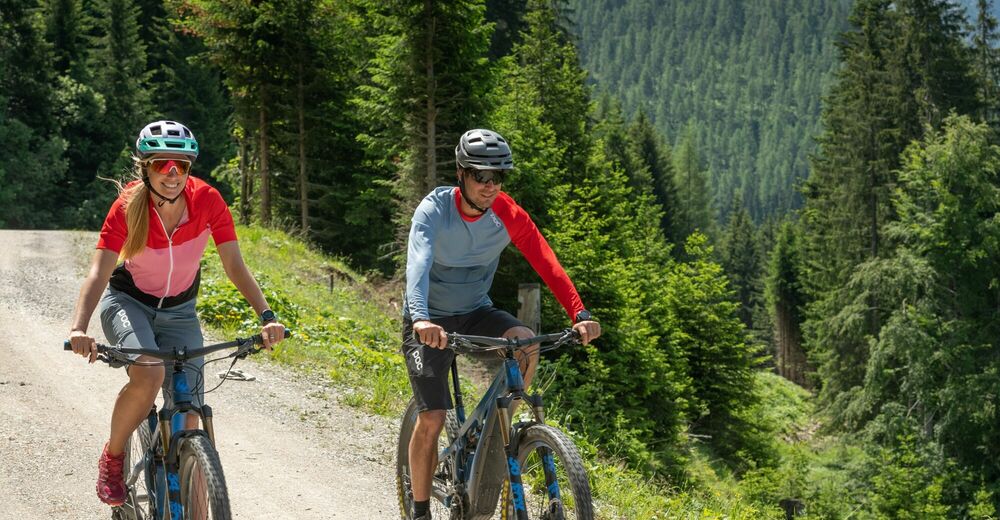
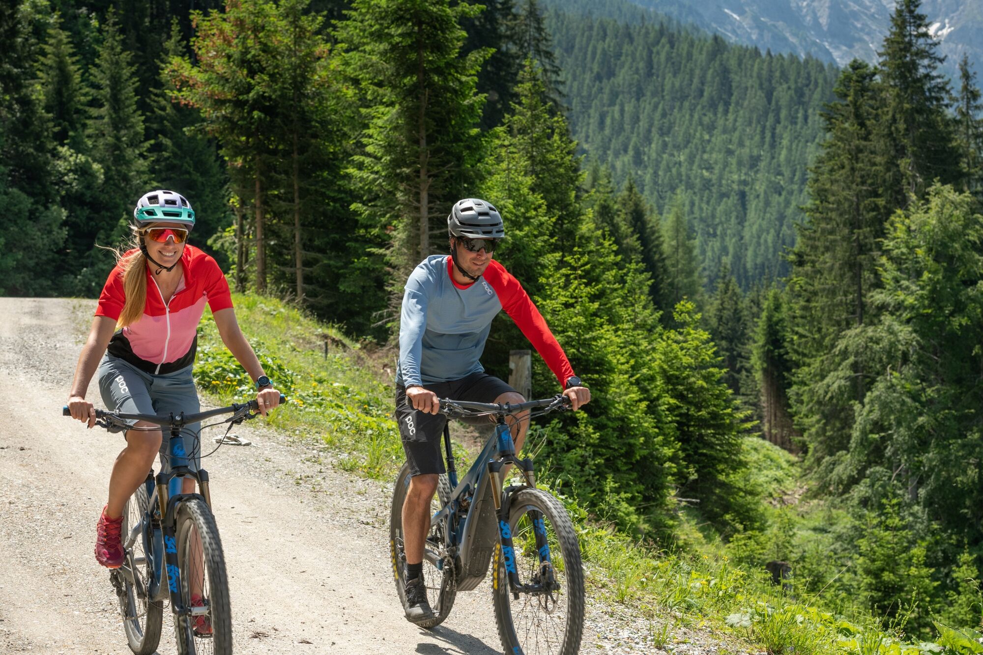
The Baierwald Runde is a classic that can be driven from Wagrain or Kleinarl.

Stopień trudności
średni
Ocena
Technika
Kondycja
Krajobraz
Przeżycie
Trasa
Wagrain
0,5 km
Kirchboden
0,5 km
Berghof Alm
3,9 km
Champion Shuttle
11,8 km
Gasthaus Galler
11,8 km
Fürbach
20,9 km

Najlepszy sezon
sty
lut
mar
kwi
maj
cze
lip
sie
wrz
paź
lis
gru
Najwyższy punkt
1.419 m
Miejsce docelowe

Center Wagrain

Profil wysokości

Autor
Wycieczka Baierwald Runde (SW44) including the Galler variant jest używany przez outdooractive.com pod warunkiem.

Ogólna ocena

5

0

%

4

0

%

3

0

%

2

0

%

1

0

%

Błąd
Wystąpił błąd. Spróbuj ponownie.
Dziękujemy za recenzję

Ocena została usunięta

GPS Downloads
  • GPX GPS Exchange Format (XML)
  • KML Google Earth, Google Maps
Kody pobierania QR dla telefonów komórkowych

Informacje ogólne

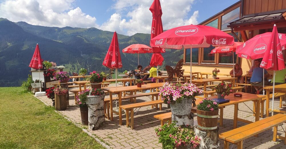
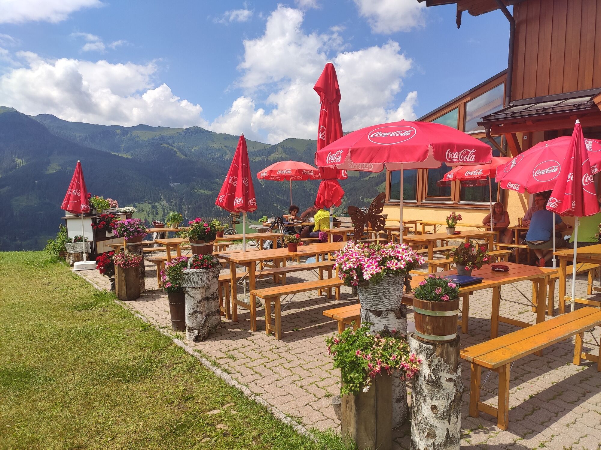
Przystanek odświeżania
Obiecujący

Popularne wycieczki po okolicy

Bad Hofgastein Bergbahn Parkplatz - Gadaunerer Hochalm

średni Mountainbike
27,24km | 990hm | 02:30h

Bike & Hike auf den Frommerkogel 1883m

ciężkie Mountainbike
28,1km | 1416hm | 04:25h

Aussichtsreiche Mountainbiketour Kreistenalm - Obergassalm

średni Mountainbike
15,4km | 690hm | 02:43h

Wagrain/Zentrum - Nazbauer - Edelweißalm - Marktplatz

łatwe Mountainbike
10,19km | 461hm | 01:00h