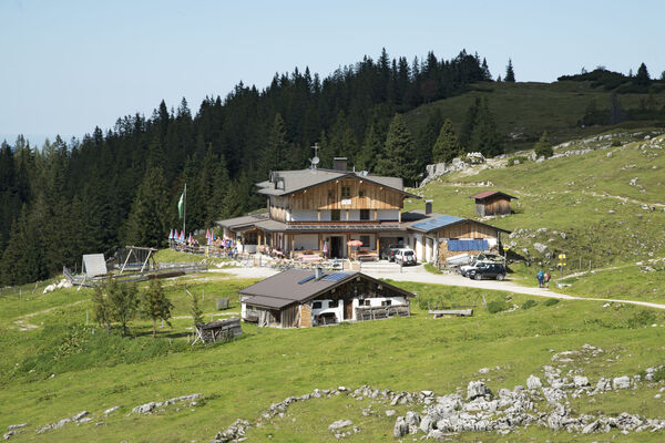
© Saalfelden Leogang Touristik GmbH - Saalfelden Leogang

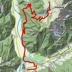
© Saalfelden Leogang Touristik GmbH - Saalfelden Leogang

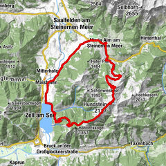
© Saalfelden Leogang Touristik GmbH - Saalfelden Leogang

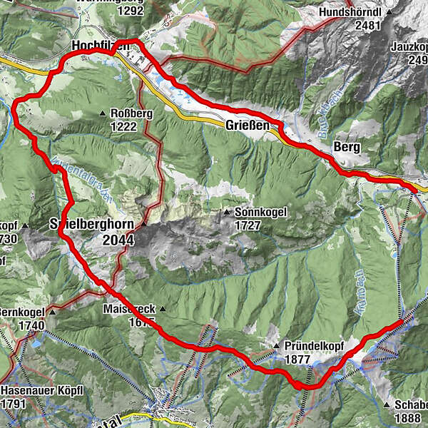
© Saalfelden Leogang Touristik GmbH - Saalfelden Leogang

- Stopień trudności
-
łatwe
- Ocena
-
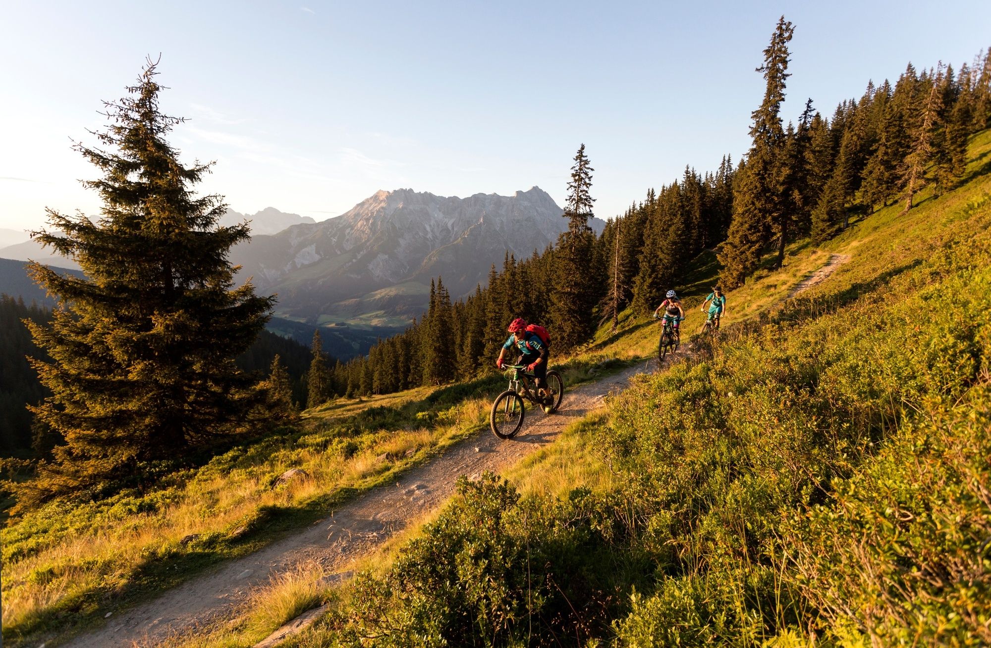
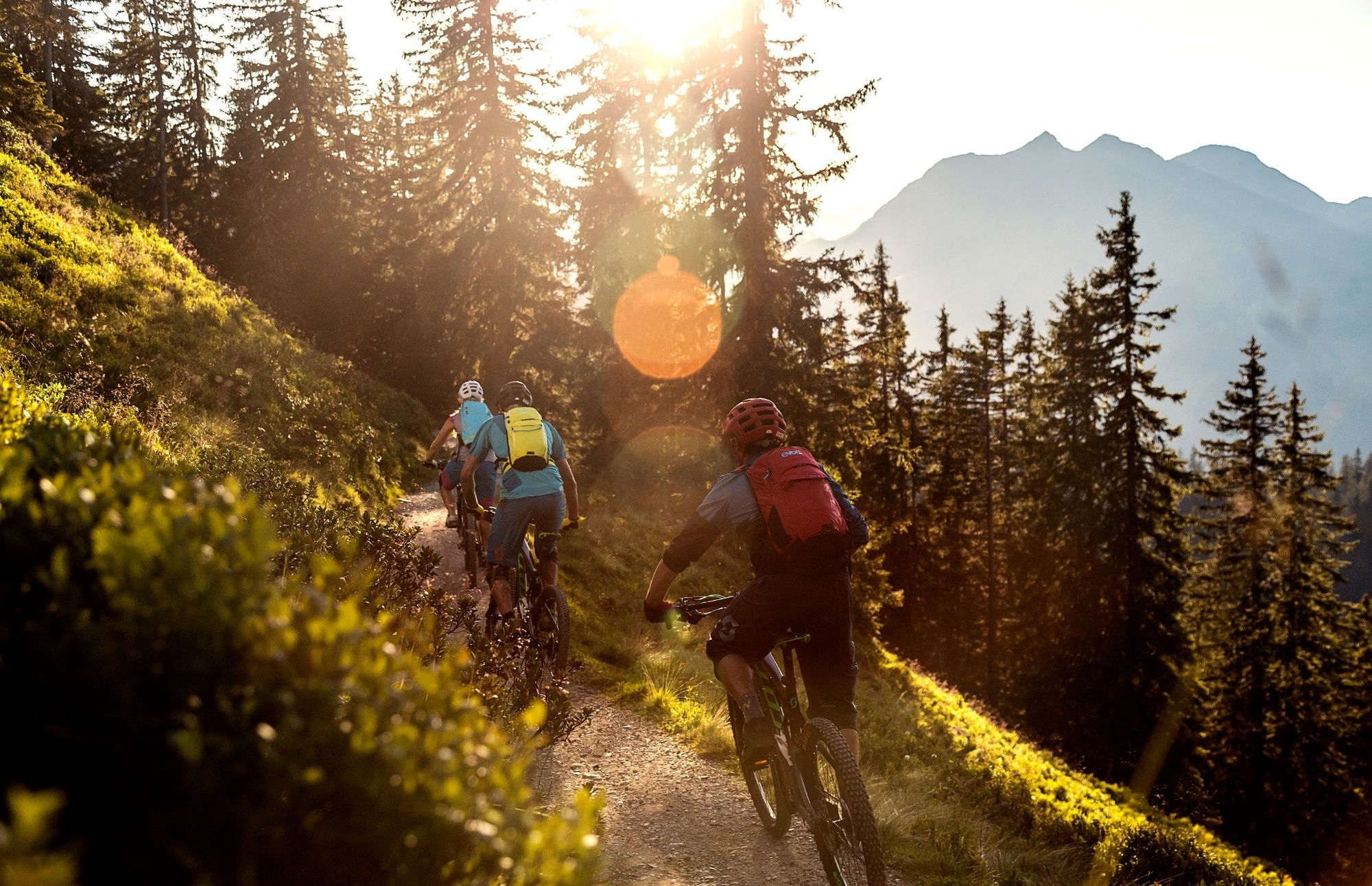
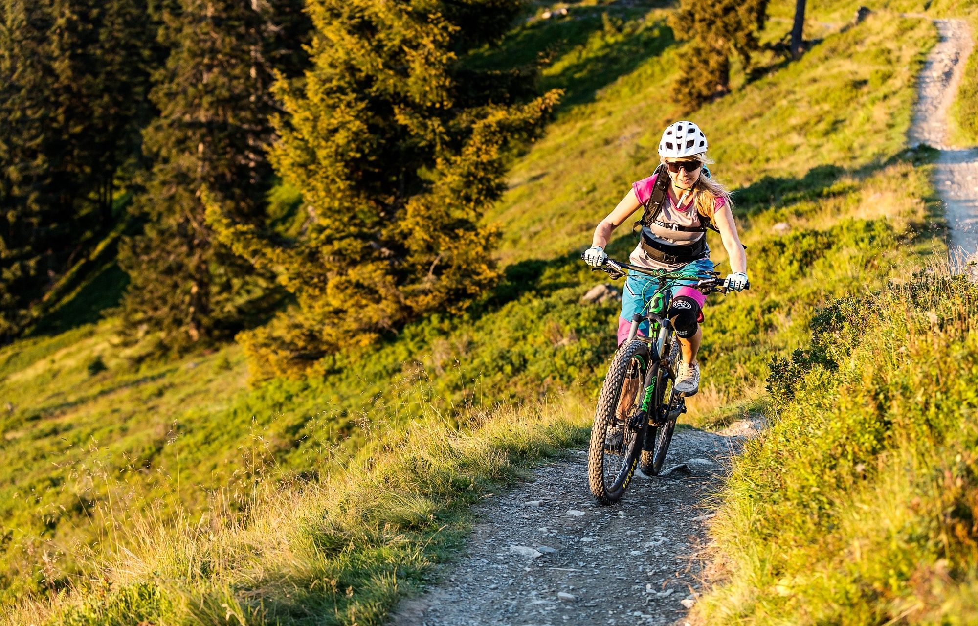
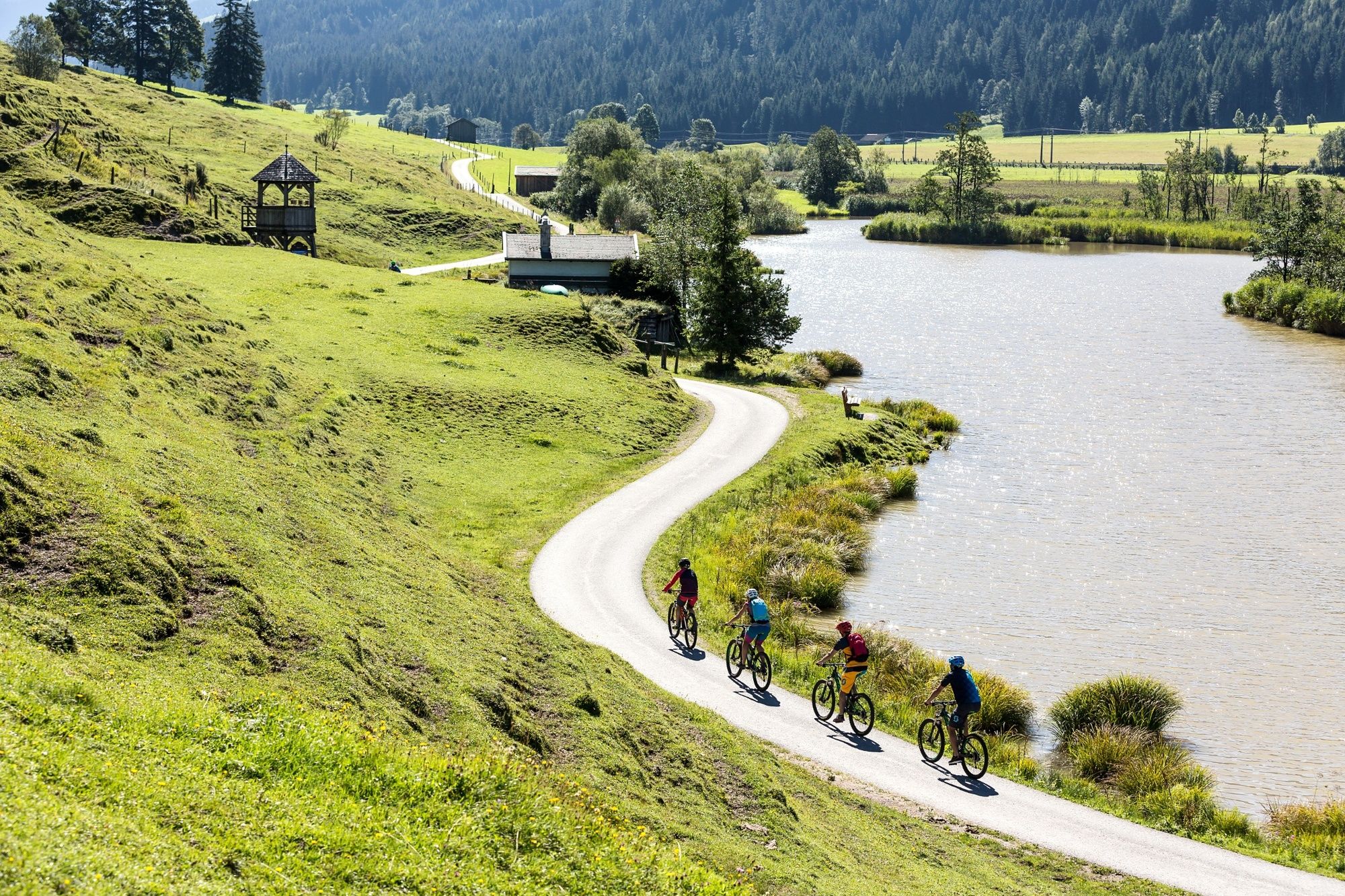
- Trasa
-
hendl fischerei0,0 kmAsitzbahn II0,0 kmAlte Schmiede0,1 kmMarienkapelle Schönleiten1,6 kmThurneralm5,2 kmWirtsalm8,9 kmBurgeralm (1.260 m)10,4 kmEiserne Hand15,1 kmRecherkapelle17,9 kmPfarrkirche Maria Schnee18,1 kmHochfilzen18,1 kmRestaurant im Hotel Edelweiß18,2 kmDéjá-vu Restaurant KULTURHAUS18,6 kmSeealm20,9 kmGrießen22,8 kmGrießner Sonnseite22,8 kmBerg25,2 kmGasthof Hüttwirt26,8 kmHütten26,8 kmMiners' Chapel of St. Anne26,9 kmAsitzbahn I27,6 km
- Najwyższy punkt
- 1.796 m
- Miejsce docelowe
-
Leogang Asitzbahn valley station
- Profil wysokości
-

-

-
AutorWycieczka LE 05 | Soft-Trail-Tour jest używany przez outdooractive.com pod warunkiem.
GPS Downloads


Pasy ruchu
Trial
Informacje ogólne
Przystanek odświeżania
Obiecujący
Więcej wycieczek w regionach
-
Saalbach Hinterglemm
430
-
Hochfilzen
141